Norway · Denmark · Sweden · 58°58′N to 56°55′N · August 2019
Round the SkawOut of the North Sea and in through the cat's gate, in 60 plates
This one
had nights
in it.
The Route
Stavanger → Göteborg
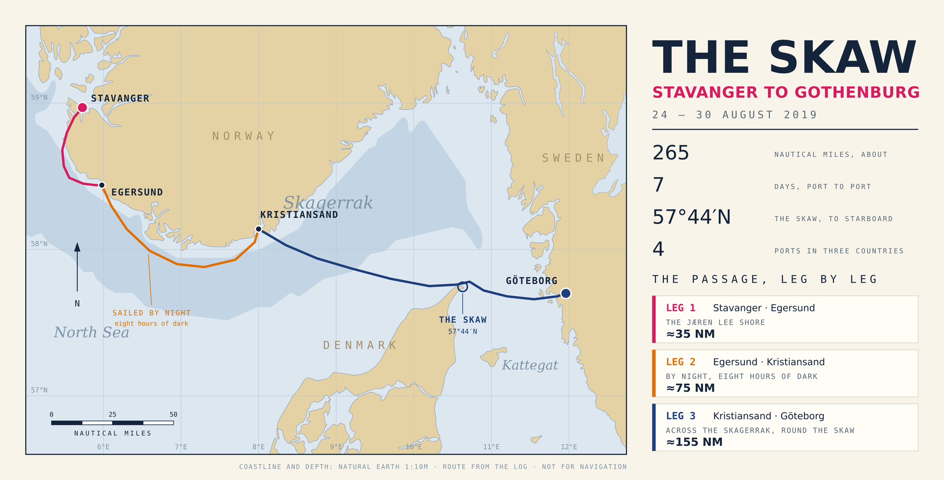
The whole passage on one sheet: down the Jæren lee shore, through the dark to Kristiansand, across the Skagerrak and round the Skaw into the Kattegat.
- Leg 1
- Stavanger → Egersund
- Leg 2
- Egersund → Kristiansand, by night
- Leg 3
- Kristiansand → Göteborg
- Distance
- ≈265 nautical miles
The Flight In
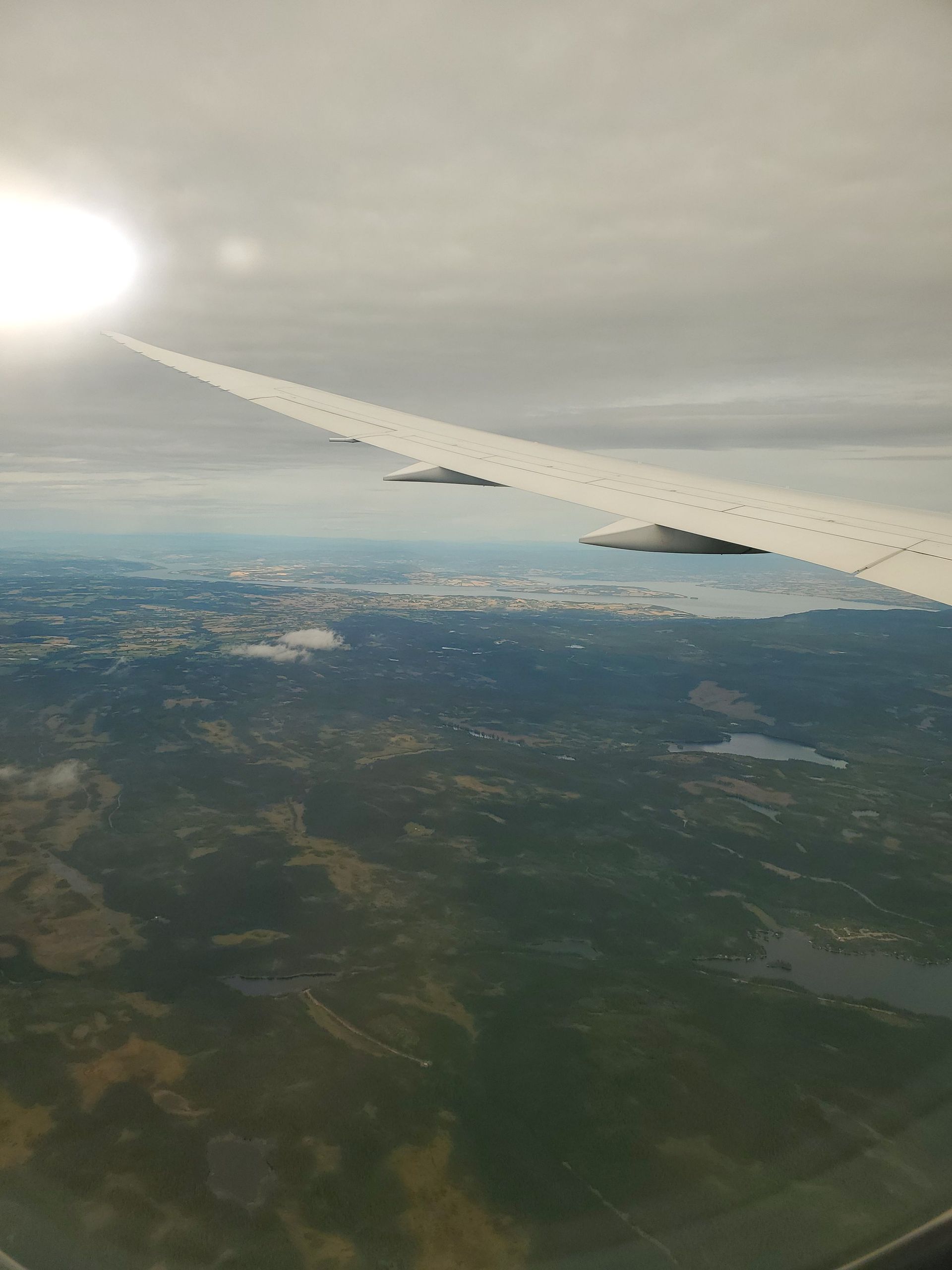
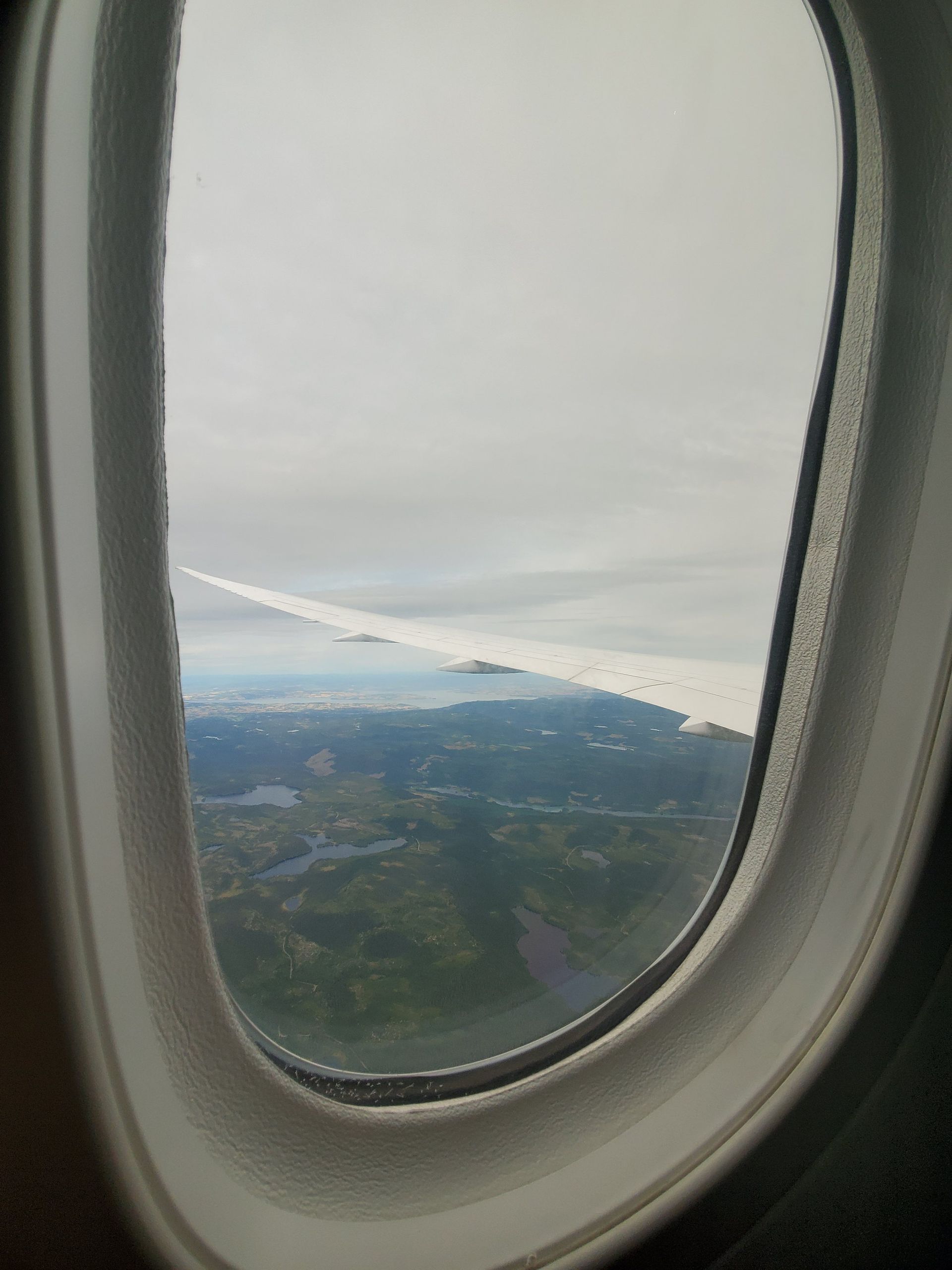
Rogaland from the air
You arrive at a coast like this from above, which is the one view you never get again once you are on it.
- Date
- 24 August 2019
- Frames
- Two, out of a window
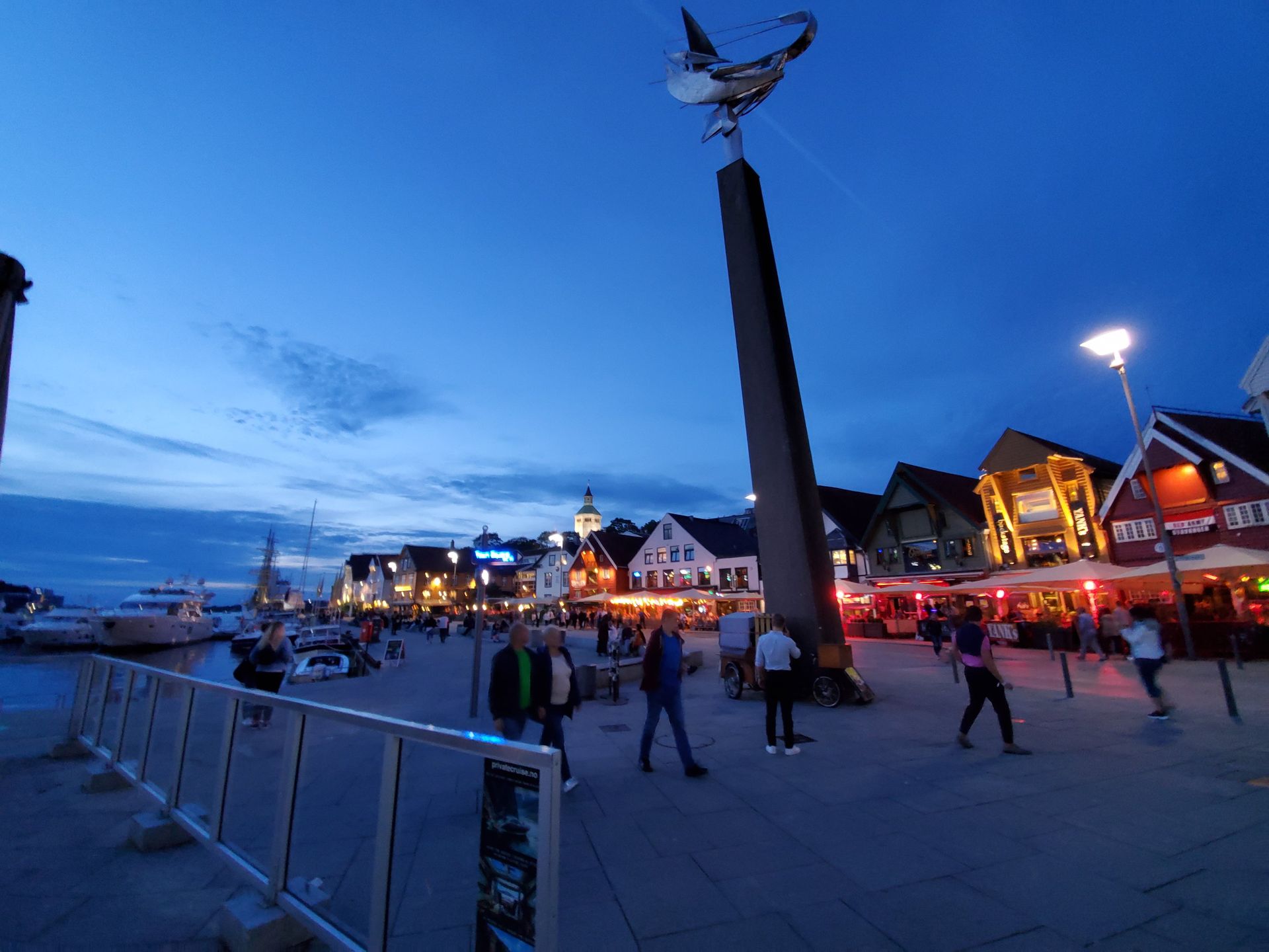
Stavanger
58°58′N · Vågen
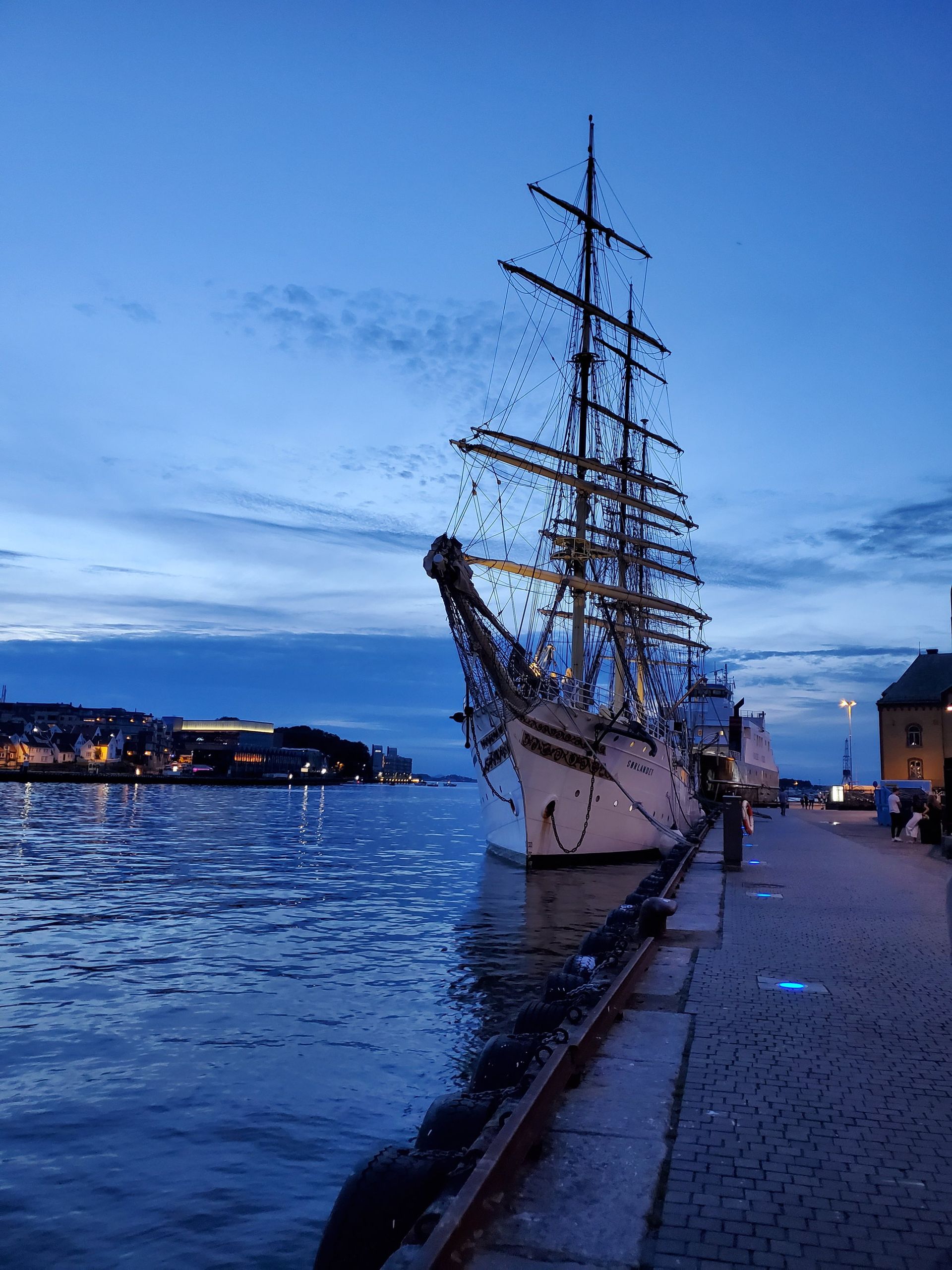
A cathedral town that became an oil capital, arranged around one inlet with the quays built out over the water.
- Founded
- 1125
- Town rights
- 1425
- Population
- 150,123
- Old town
- About 170 wooden houses
- Oil directorate
- Here since 1972
The inlet the town is named after
Vågen is the inlet off Byfjorden that Stavanger grew around, and the Old Norse Stafangr is usually read as the name of this water — stafr, a staff, probably for the cliff of Valberget on its east side, plus angr, an inlet. The quays were built out in the early 1900s; the quay line at the head now stands some twenty-five metres further out than it did in the nineteenth century.
Oil came ashore here
Stavanger became the shore base of the Norwegian continental shelf after oil was found in the North Sea in 1969. The Storting created the Norwegian Petroleum Directorate on 14 July 1972 and put it in Stavanger; Equinor's head office sits at Forus on the city's southern edge with about six thousand staff. The herring town that grew tenfold between 1815 and 1880 did the same trick twice.
Out Through the Skerries
Byfjorden → the open coast
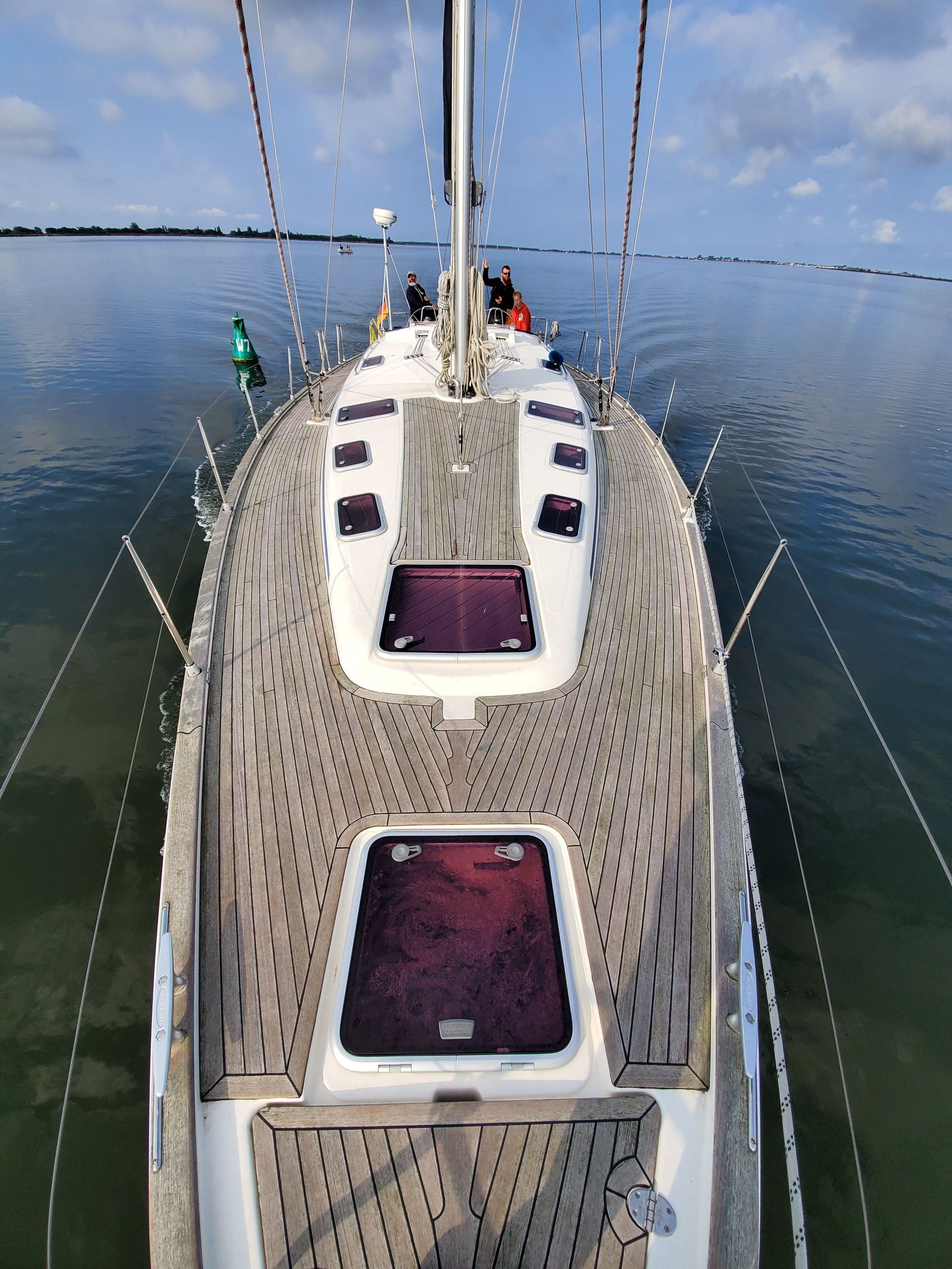
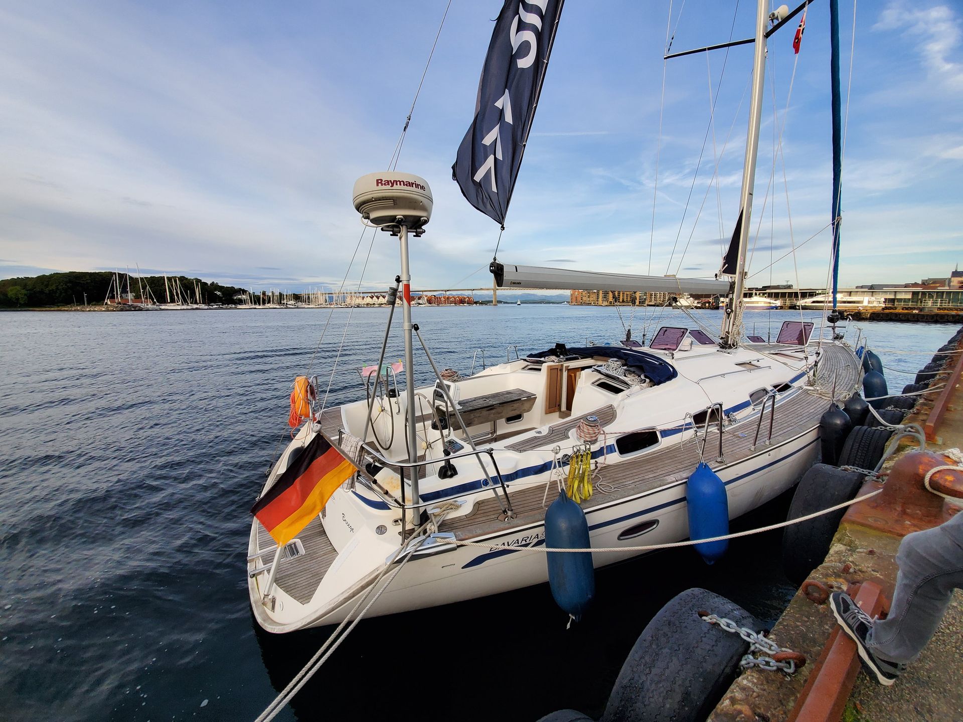
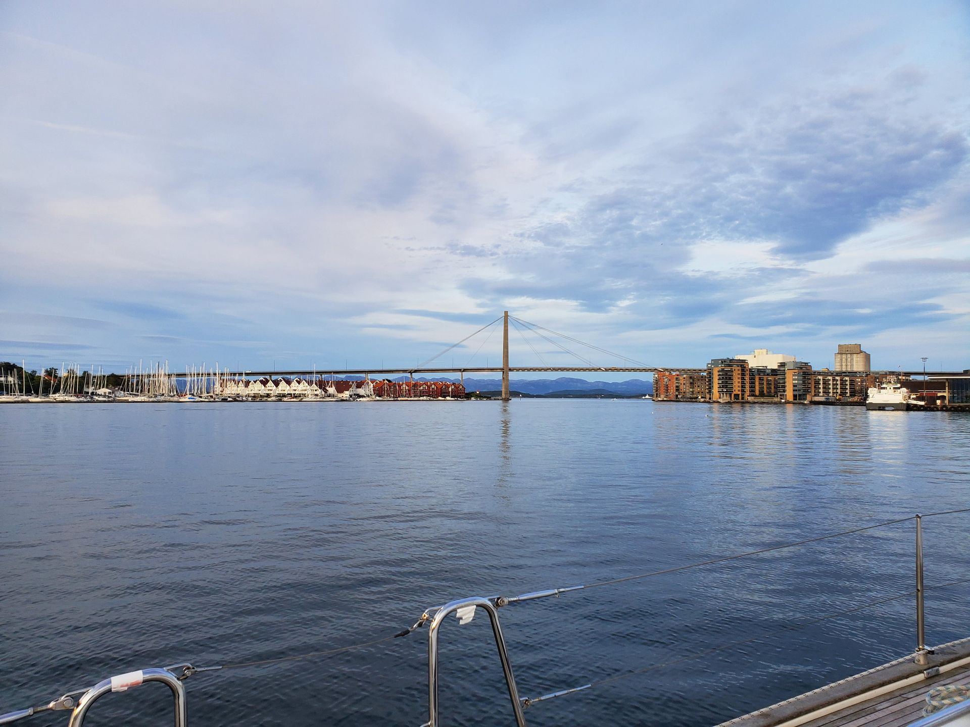
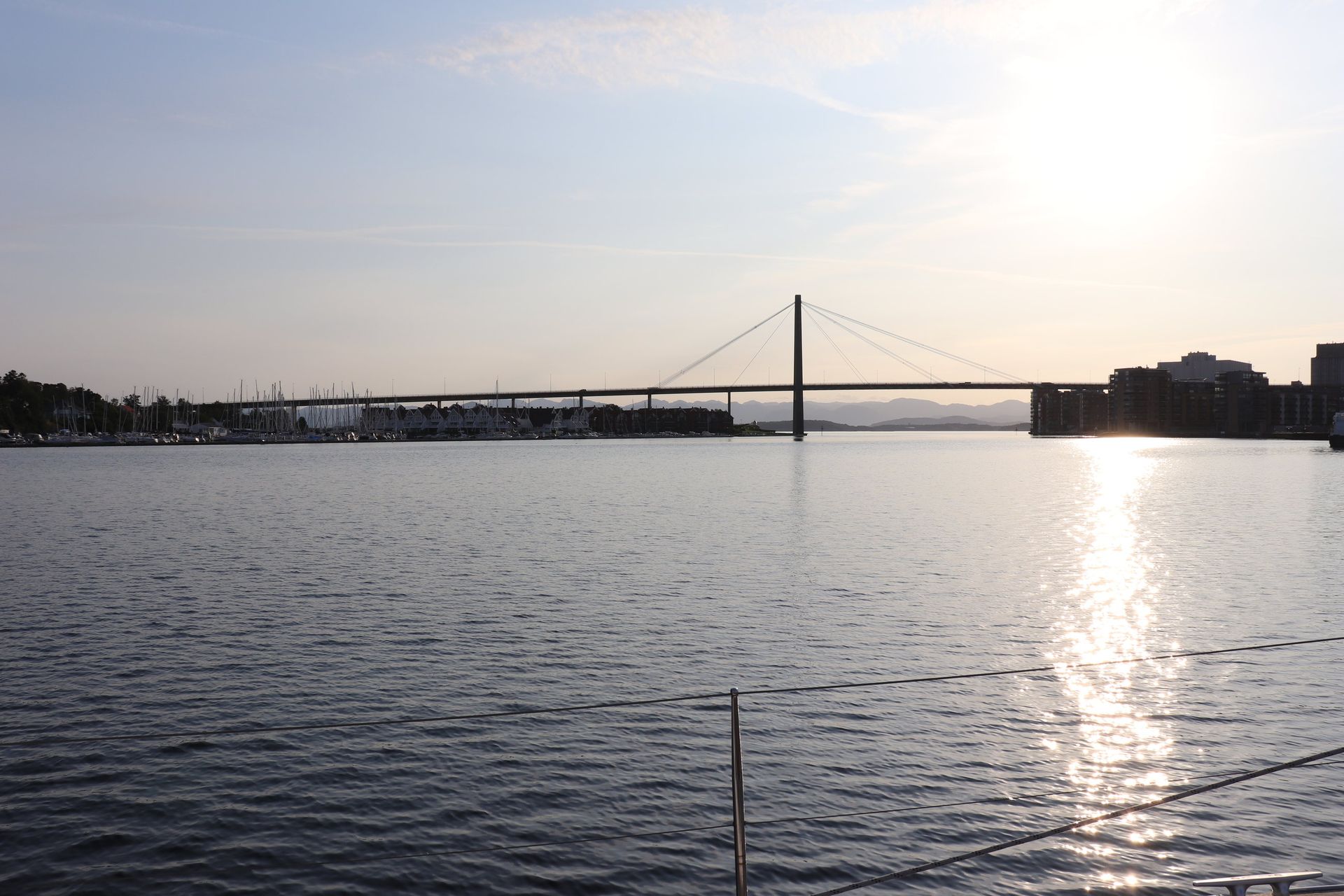
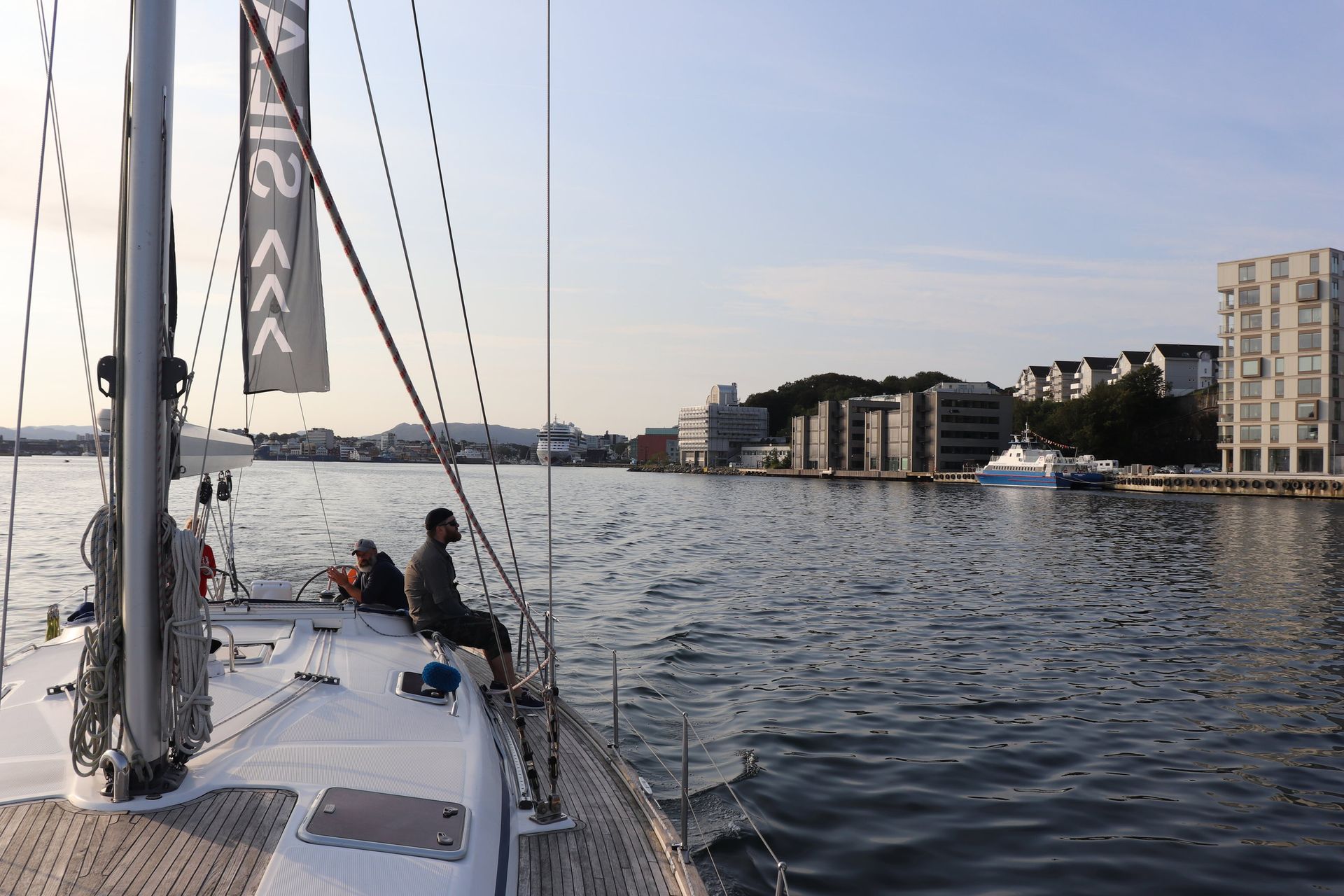
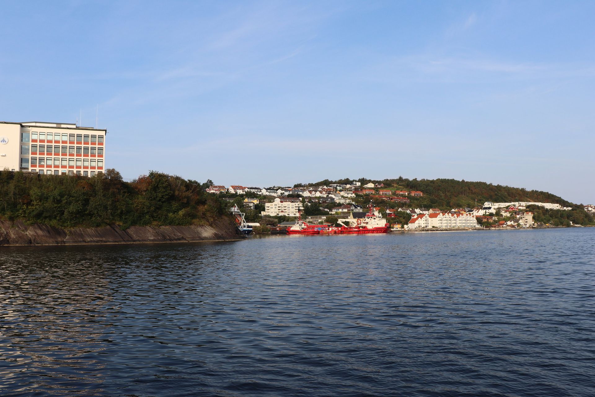
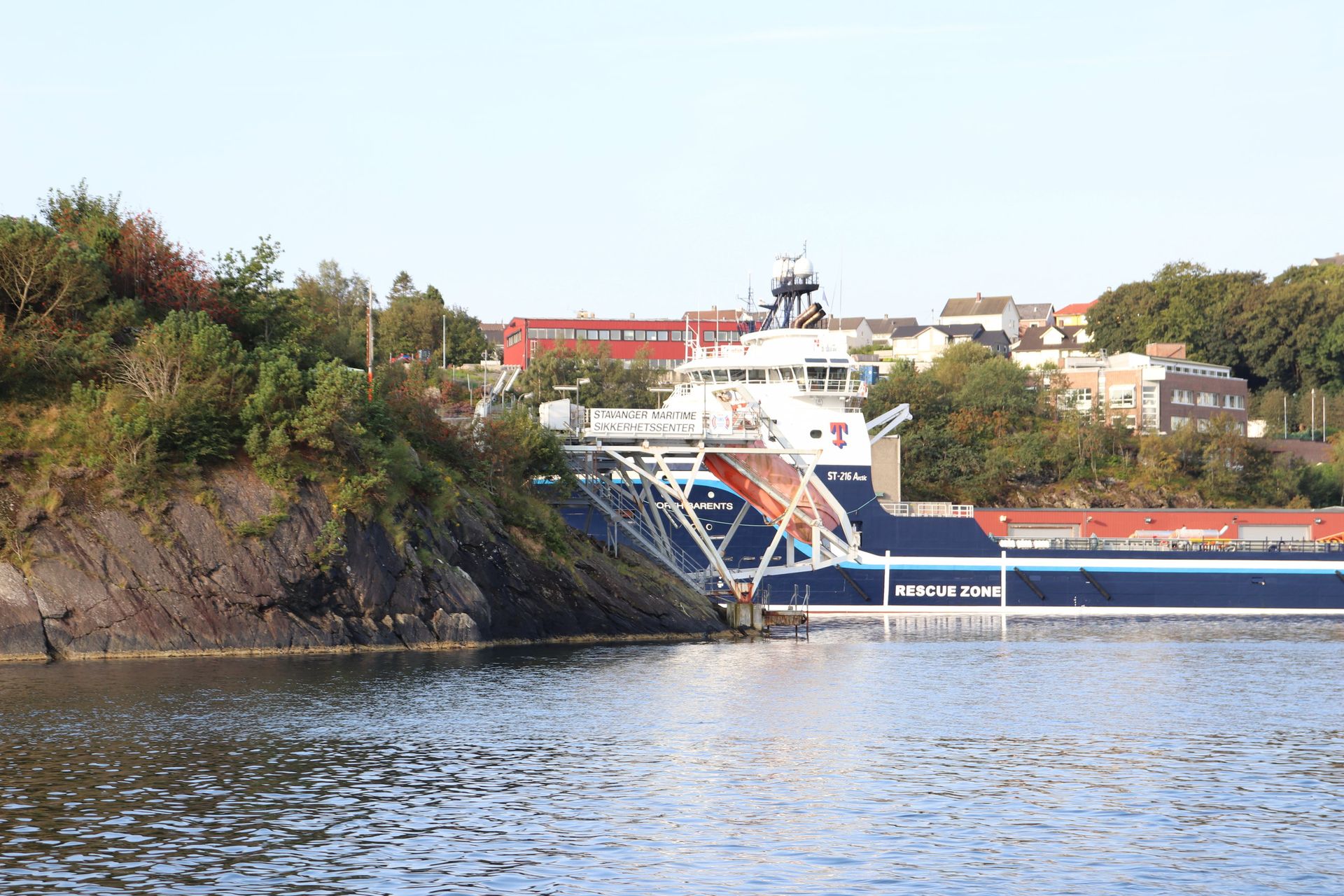
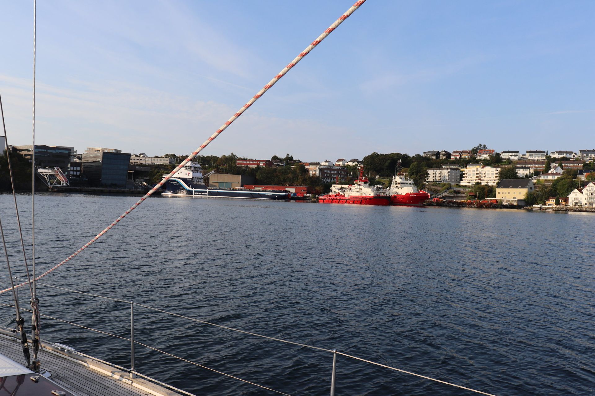
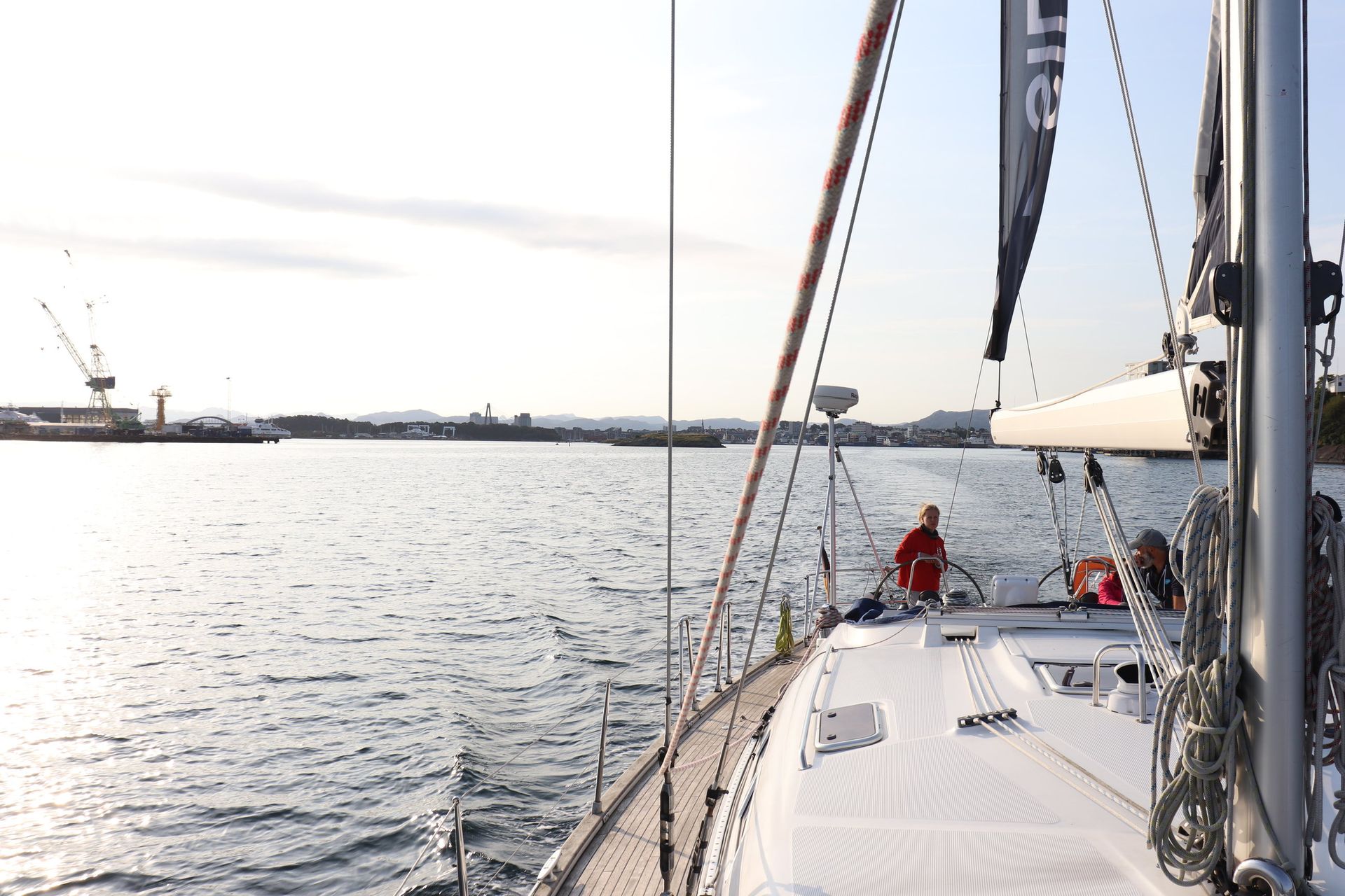
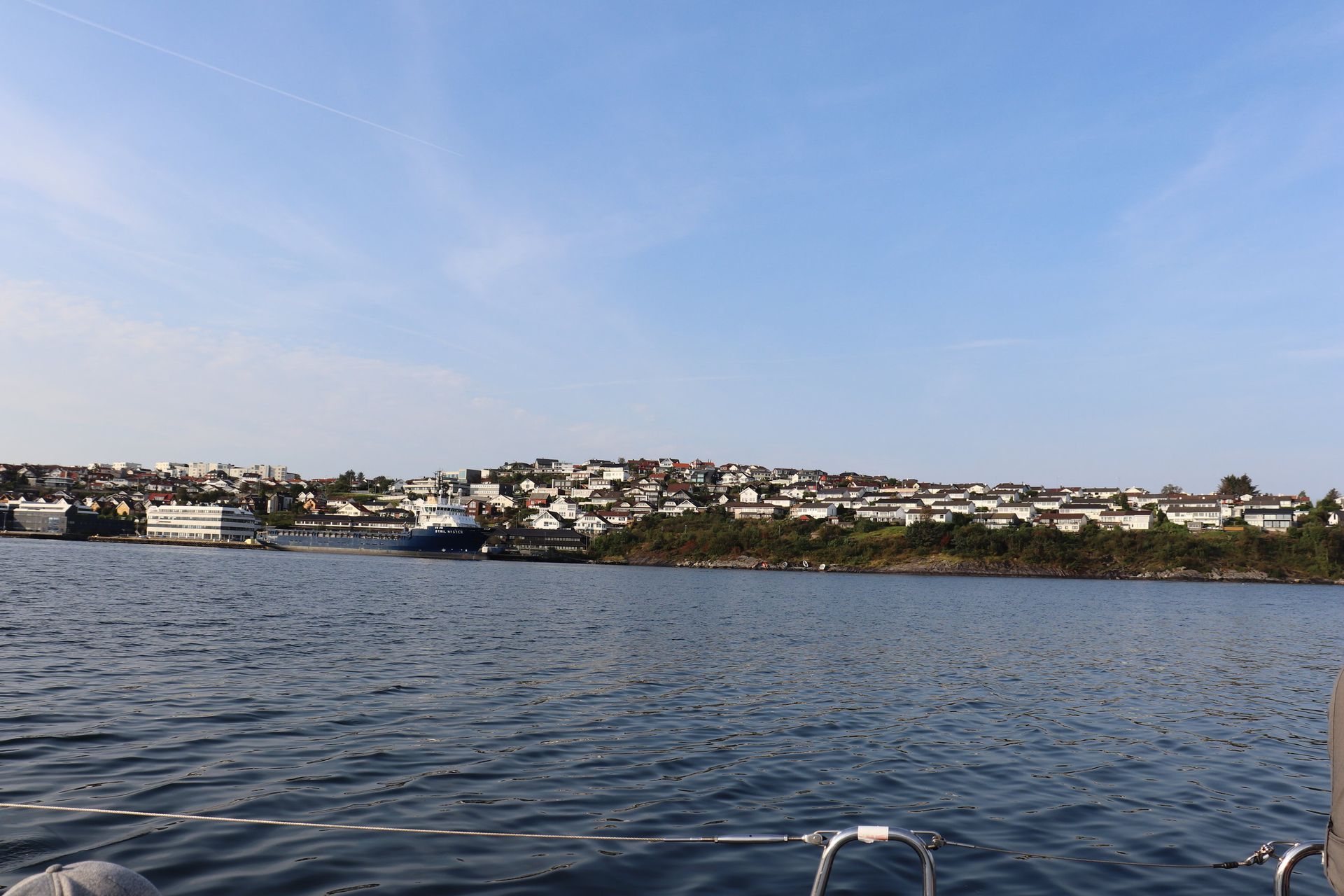
Lines off at a quarter past eight, out under the city bridge, and an hour of islands before the land runs out of shelter.
- Slipped
- 25 August, 08:14
- City bridge
- 185 m span, 26 m clearance
- Opened
- 31 January 1978
The first thing you pass under
Stavanger bybru crosses Strømsteinsundet from Kjelvene, over Grasholmen, to Sølyst. It is 1,067 metres long overall with a 185-metre main span and twenty-six metres of clearance, and when it opened on 31 January 1978 it was Norway's first cable-stayed bridge. It is still the longest in Rogaland.

Down the Lee Shore
Jæren
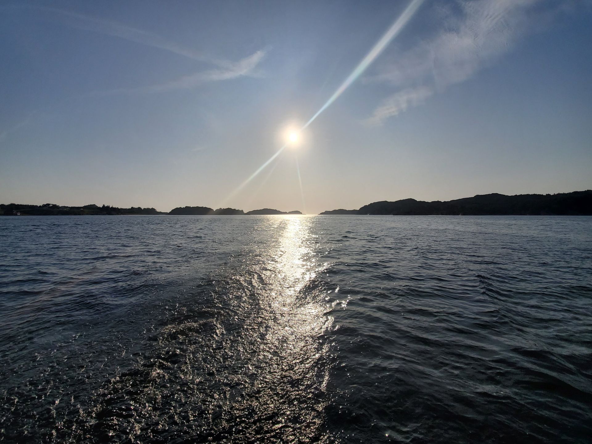
For sixty-five kilometres Norway stops doing what Norway does. The islands end, the fjords end, and the coast runs straight and low with nothing to duck behind.
- Coast
- About 65 km, Tungenes to Brusand
- Låg-Jæren
- 700 km², Norway's largest plain
- Jærens rev
- Shoal, 2 nm offshore
- Least depth
- 3.5 m at Klausgrunnen
- Recorded wrecks
- 394
Why this stretch is different
Jæren is the low coastal district south of the Boknafjord, and Låg-Jæren is Norway's largest lowland plain at about seven hundred square kilometres. Unlike almost the whole Norwegian coast there are very few offshore islands and few fjords cutting in; south of Sola the shoreline runs nearly straight. Blown sand in the north, and in the south a near-continuous bank of cobbles thrown up by the surf.
A lee shore with a reef on it
Jærens rev is a partly stony sandbank running almost two nautical miles west of Revtangen, and a mile and a half out at Klausgrunnen there is still only three and a half metres of water. The US Sailing Directions mark the ground off here as a Dangerous Wave Area where depths swing between sixteen and forty metres and swell from south-west through north-west builds observed breakers. Erik Bakkevig counted 394 recorded wrecks along this coast. A rescue station stood at Reve from 1852 to 1993.
The lights they built for it
Eigerøy, 1854, was the first cast-iron lighthouse tower in Norway — 32.9 metres, the light 46.5 metres above high water, visible nearly nineteen miles. It went up after four wrecks off Egersund between 1843 and 1851 killed forty people, and the lighthouse service, unsure the iron would stand, lined the whole tower internally with seventy thousand bricks. Feistein, 1859, was cheaper and nearly killed its keeper: in 1868 the sea broke clean over the holm and took him and a servant girl.
Up the Mast
Eikundarsund
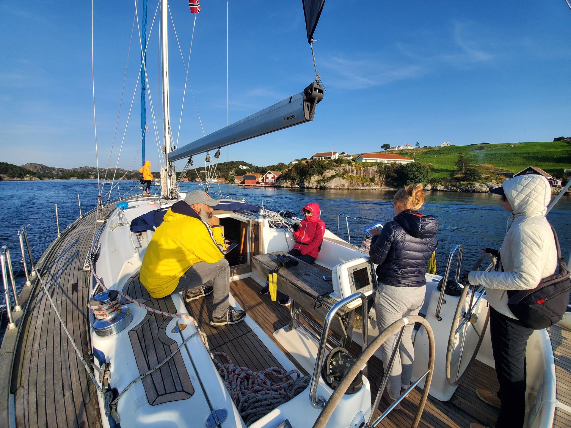
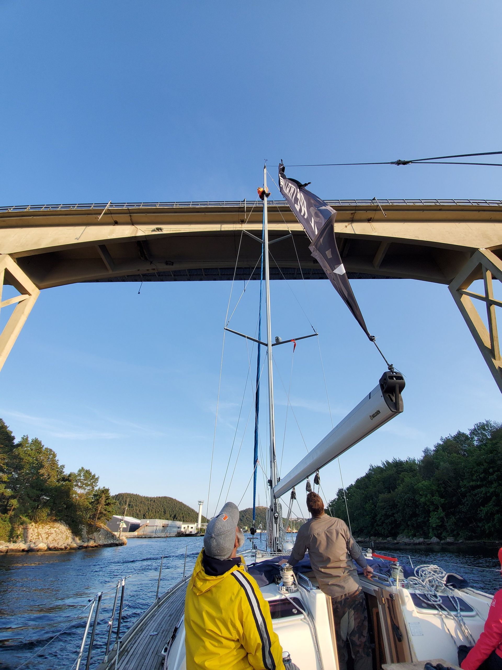
Somebody has to go and look. Flat water, an hour before the harbour, and a bosun's chair.
- Sound
- 13 km, Eigerøya to the mainland
- Nysund
- 40 m wide
- Bridge
- 20 August 1951
- Clearance
- 23.75 m
The way in from the north-west
Eigerøya is separated from the mainland by a sound thirteen kilometres long, the Eikundarsund of the sagas, which is where the town's name comes from. The inner north-western entrance is Nysund, forty metres wide, crossed by the Eigerøy bridge — opened by Crown Prince Olav on 20 August 1951, 260 metres long, a 40-metre centre span, 23.75 metres of clearance. The harbour authority's own pilotage note calls the southern entrance, Søragapet, the main one; this is the back door.



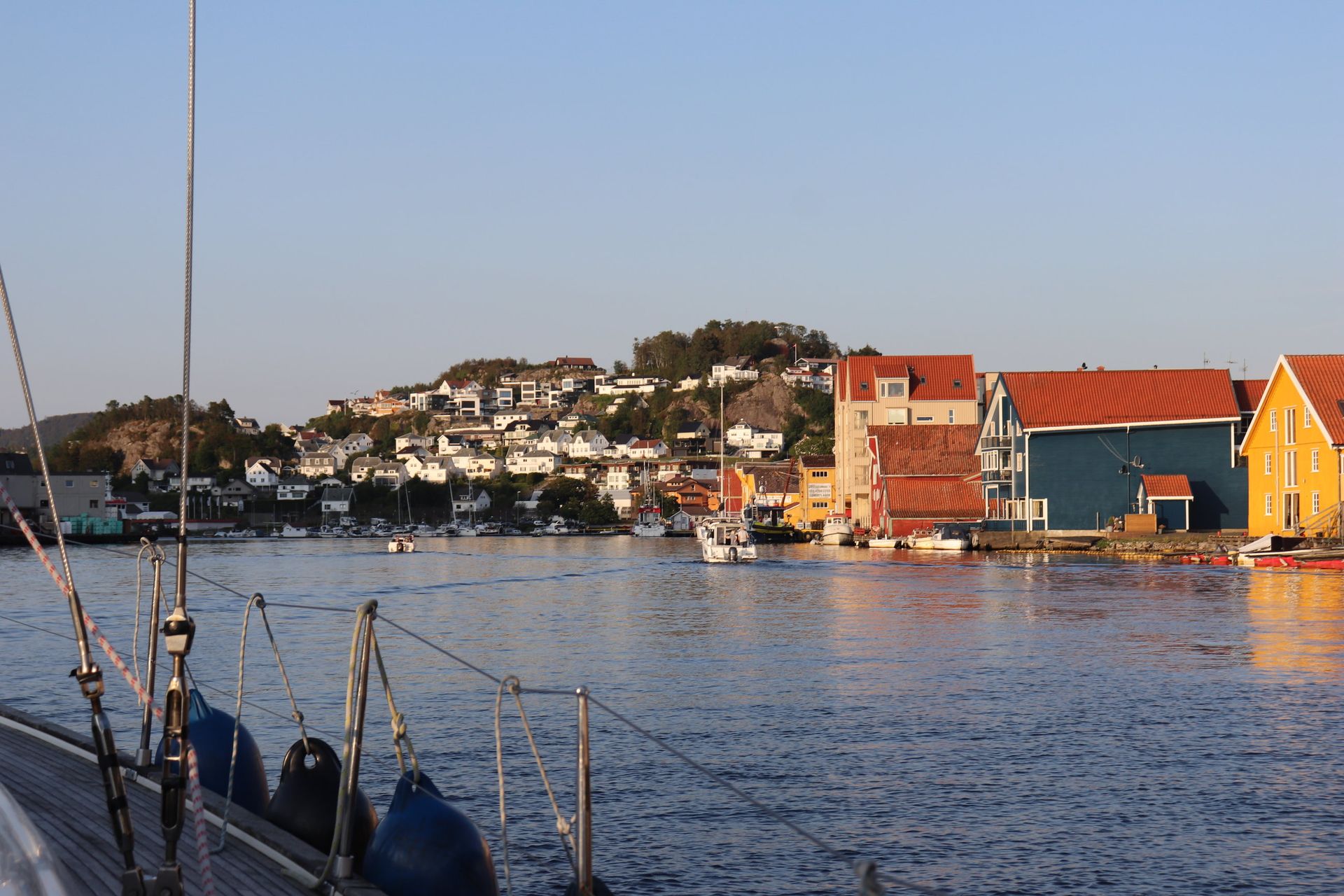
Egersund
58°27′N · Vågen
The only good natural harbour on the whole coast between Flekkefjord and Stavanger, and a town that has burned down six times.
- Town rights
- 18 July 1798
- Population
- 11,902
- Town fires
- Six, 1817 to 1961
- Tidal range
- Effectively none
- Quay
- About 4,500 m, 6–9 m deep
- Faience works
- 1847–1979
A harbour with no tide
Egersund sits on a bay off the sound between Eigerøya and the mainland, and there is effectively no tidal range at all — the town lies at an amphidromic point, where the tide cancels itself out. The harbour is ice-free year round with about four and a half kilometres of quay at six to nine metres. Spring herring built the place; when the herring failed in the 1960s the fleet turned to other stocks and the fishmeal and fish-oil plants became the backbone of the port.
Six fires and a grid
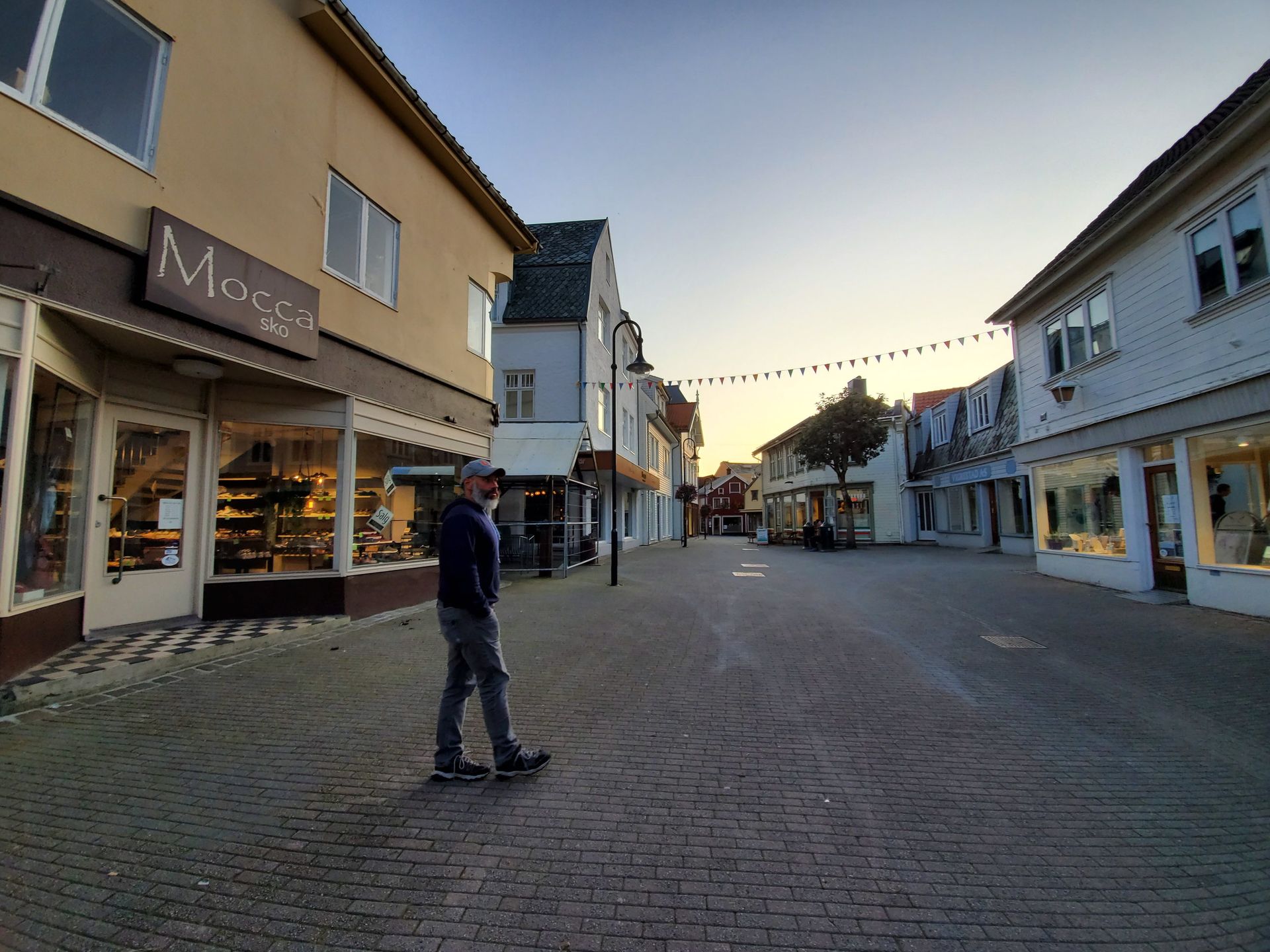
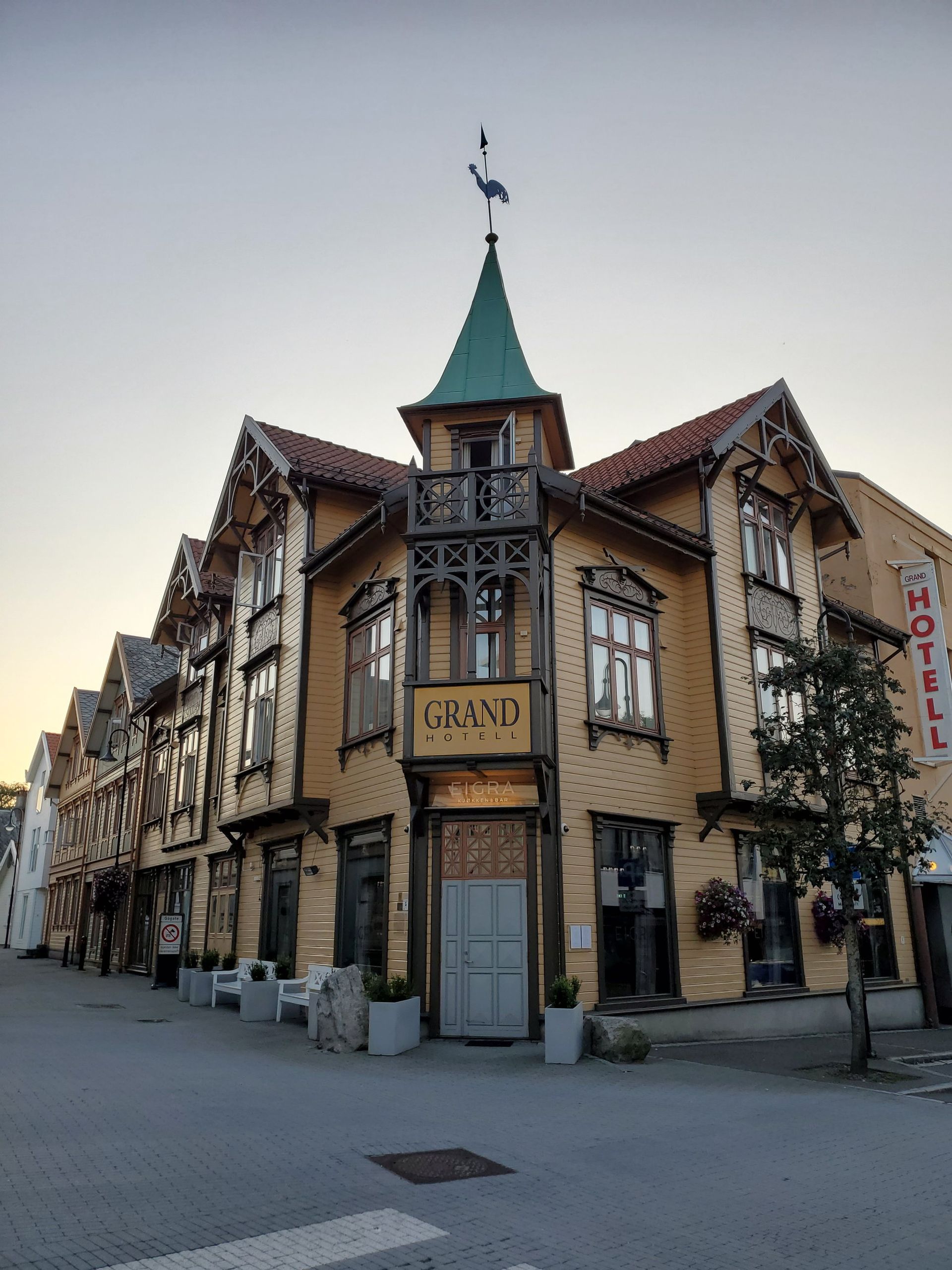
Egersund has burned in 1817, 1843, 1859, 1862, 1896 and 1961. The 1843 fire took two thirds of the town and left several hundred homeless, and the rebuilding followed a new plan of straight streets at right angles. After 1859 and 1862 burned the same quarter twice, the streets were made deliberately wide so that fire could not cross them. That is why a timber town of twelve thousand people has boulevards.
The pottery that employed everyone
Johan Feyer founded Egersunds Potteri in 1847 on English clay-working methods, importing English craftsmen to train local hands; it was the town's first industry. Faience proper began in 1867, and the works grew from twenty-six hands in 1851 to about four hundred by 1912, the second largest industrial plant in Rogaland. Production ended in 1979. The site is now a shopping centre with a museum to the pottery inside it.
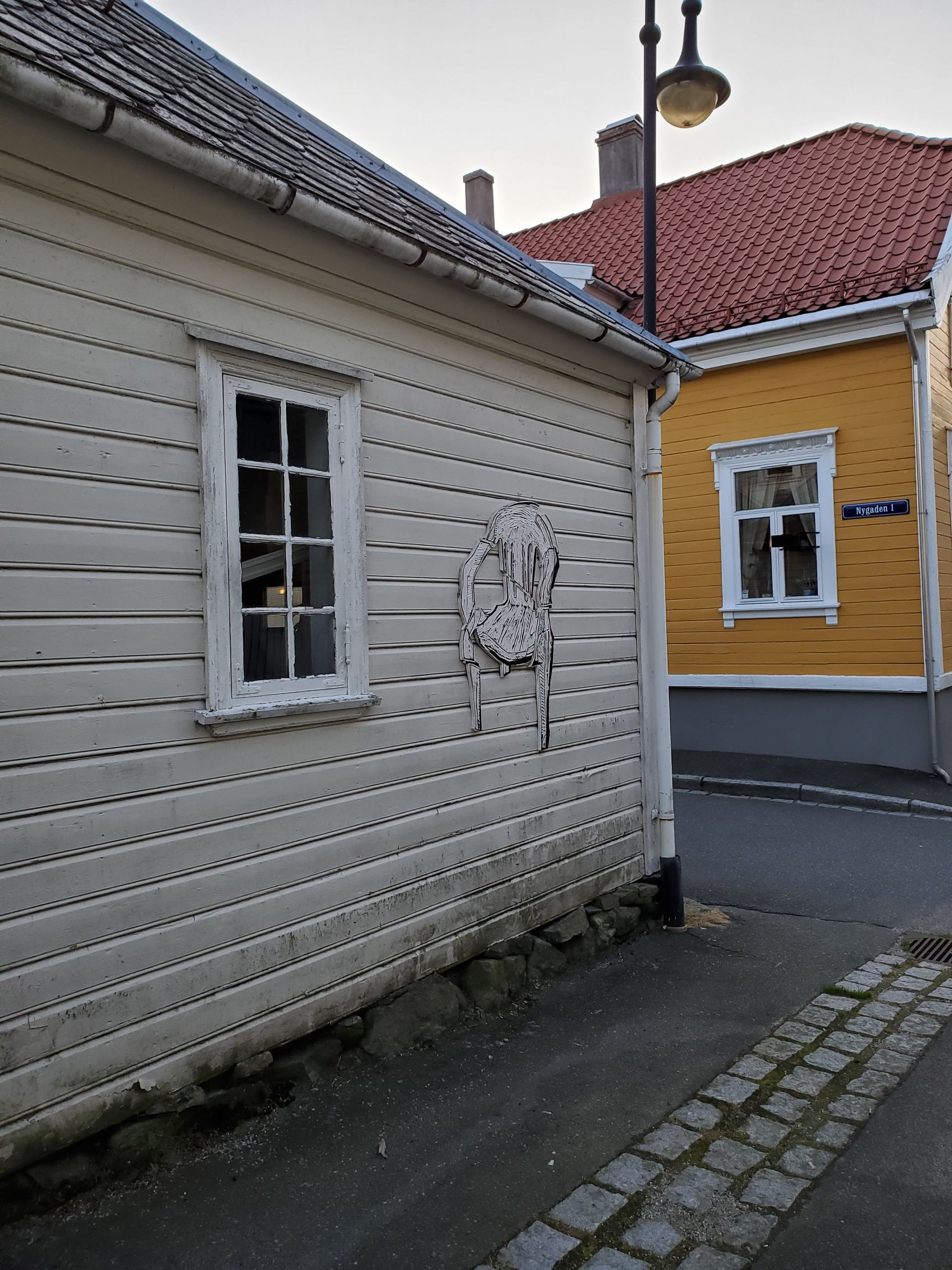
The Night Leg
Egersund → Kristiansand
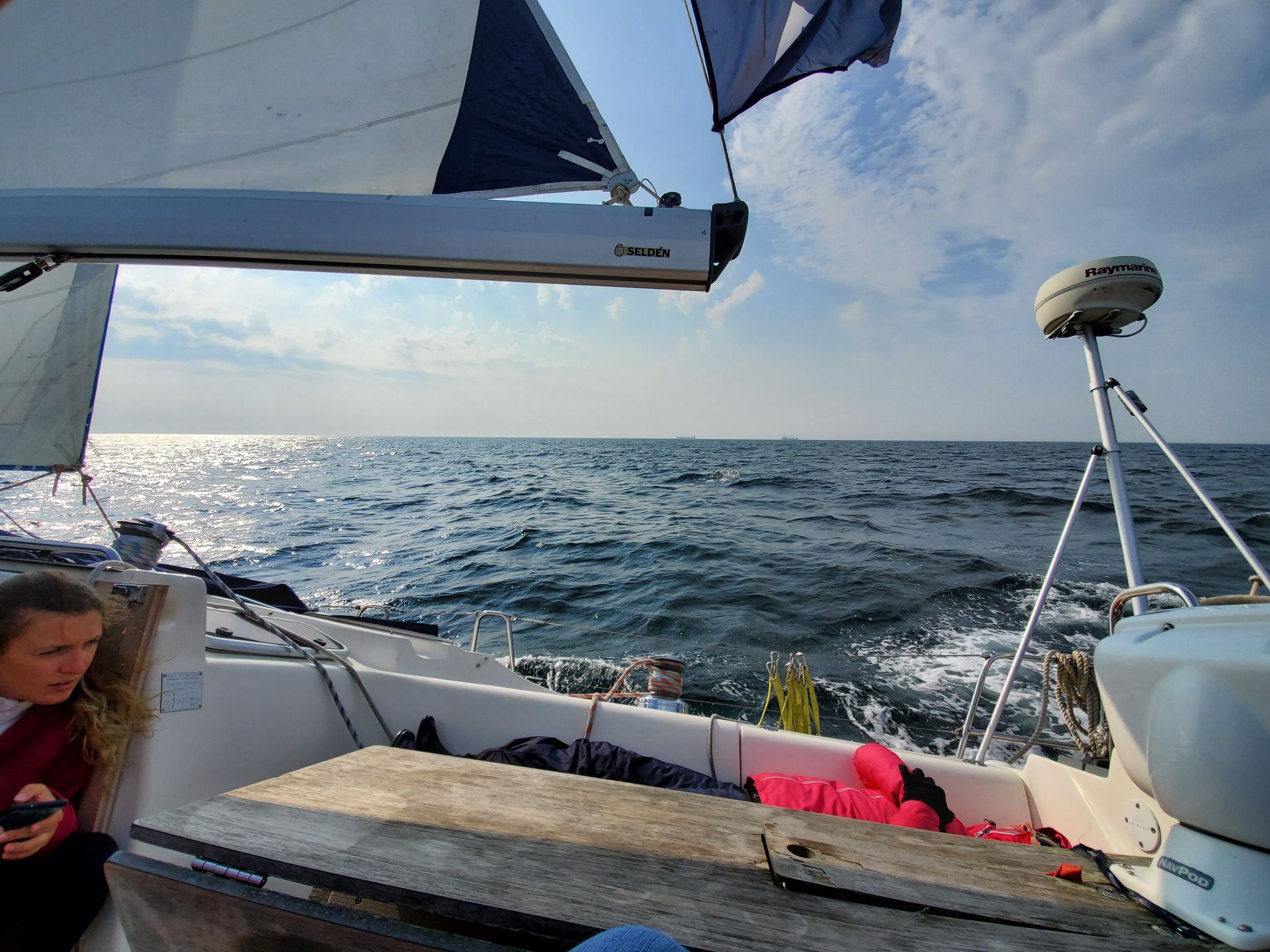
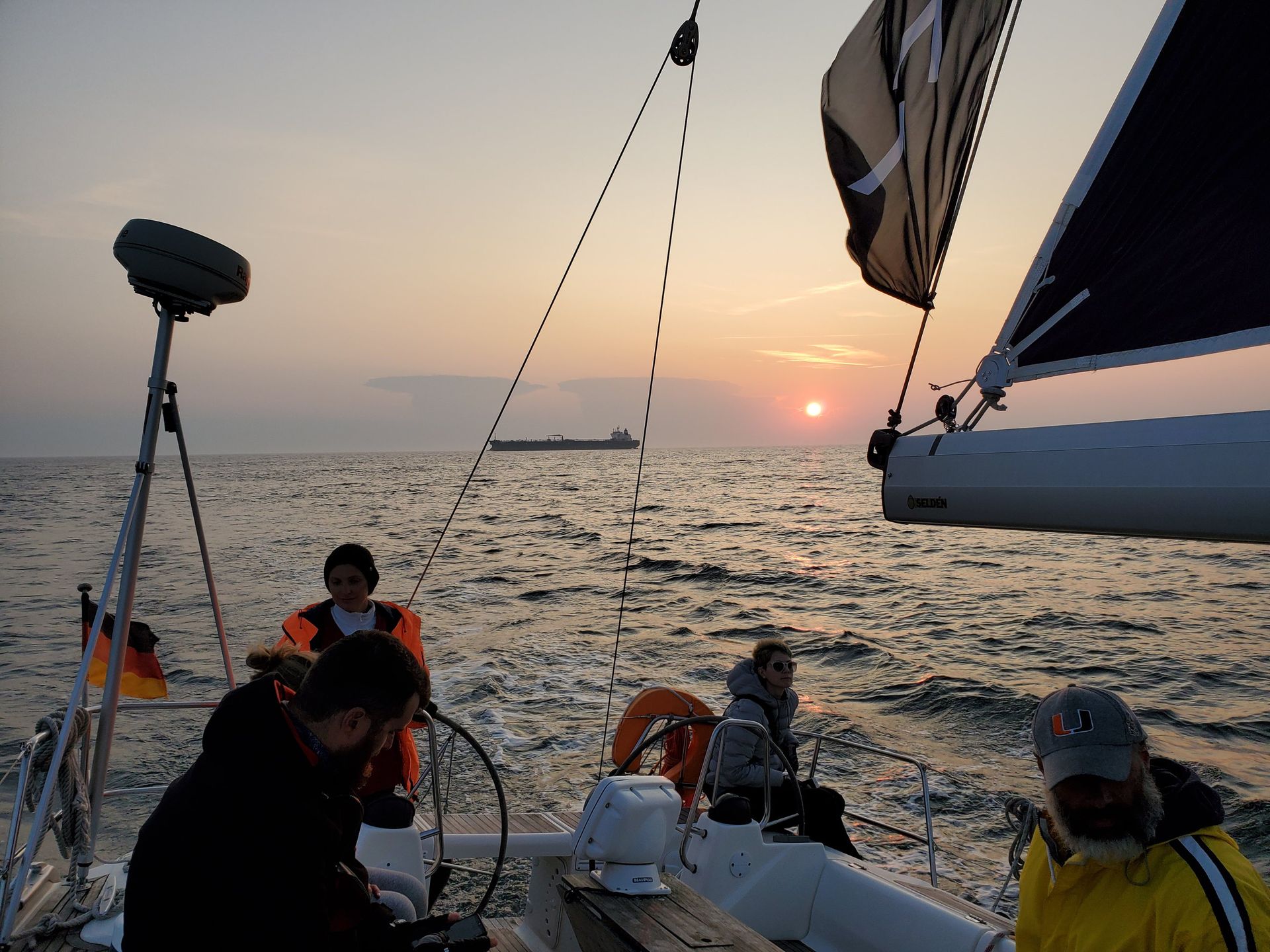
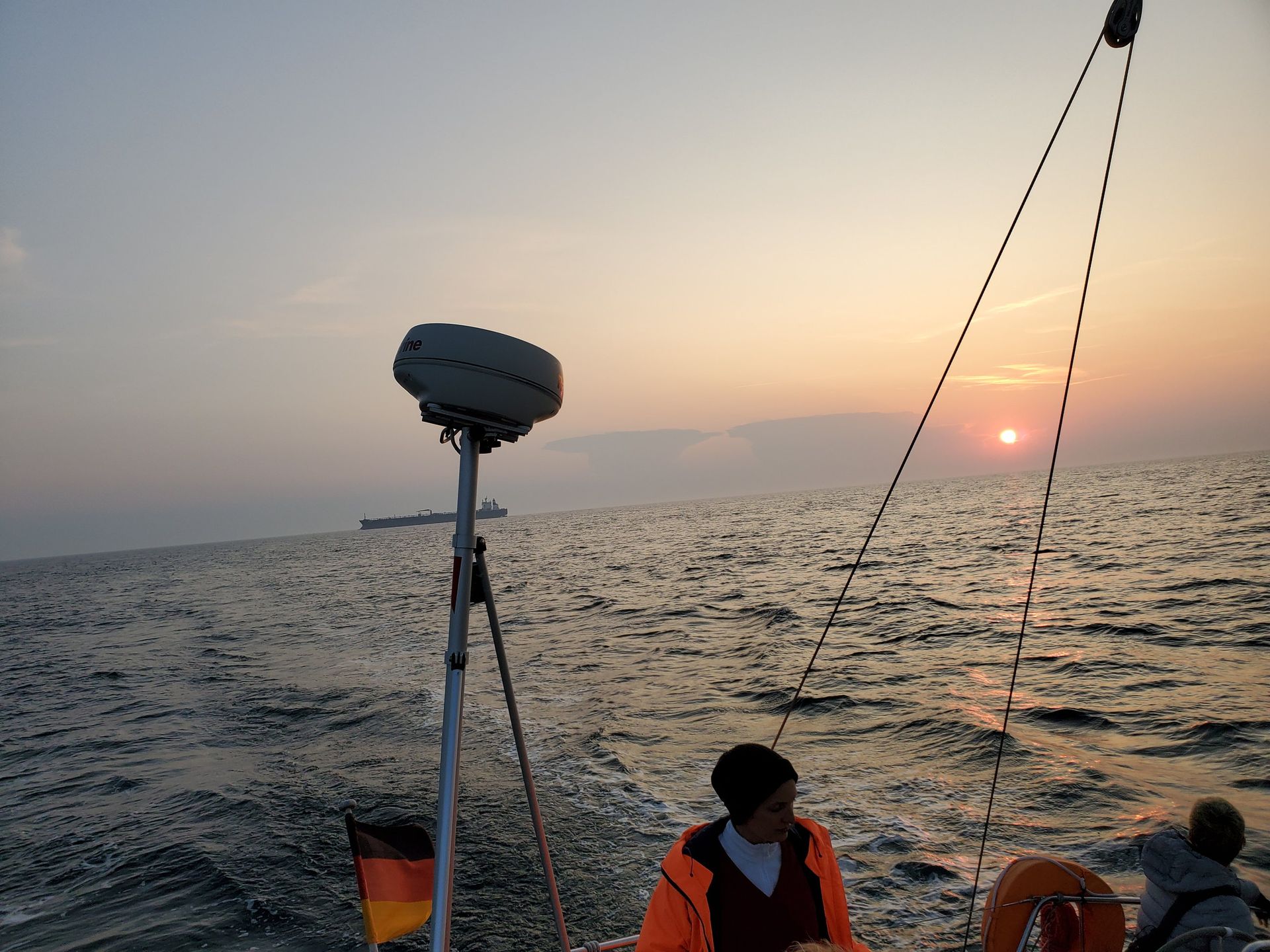
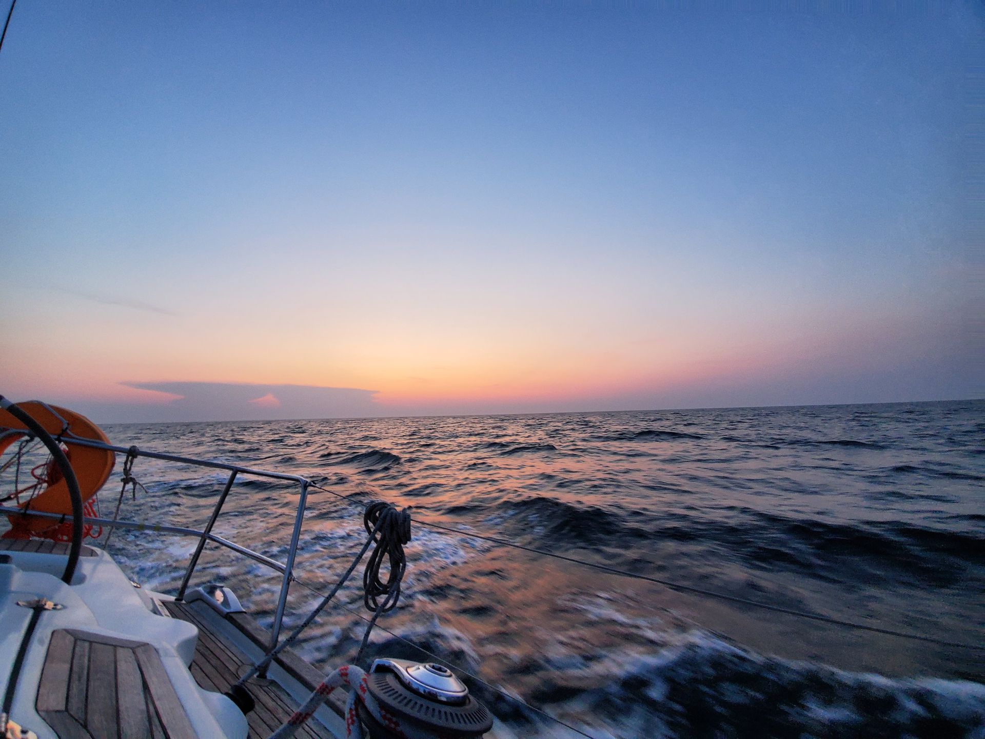
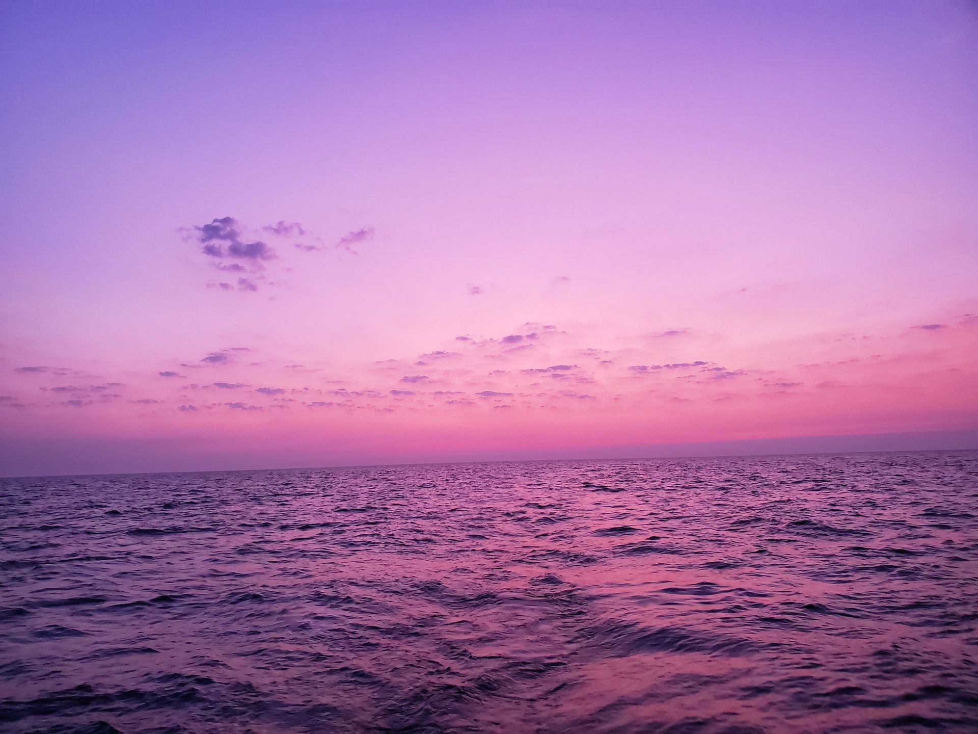
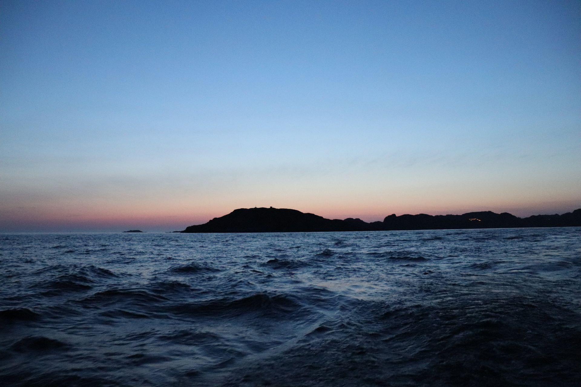
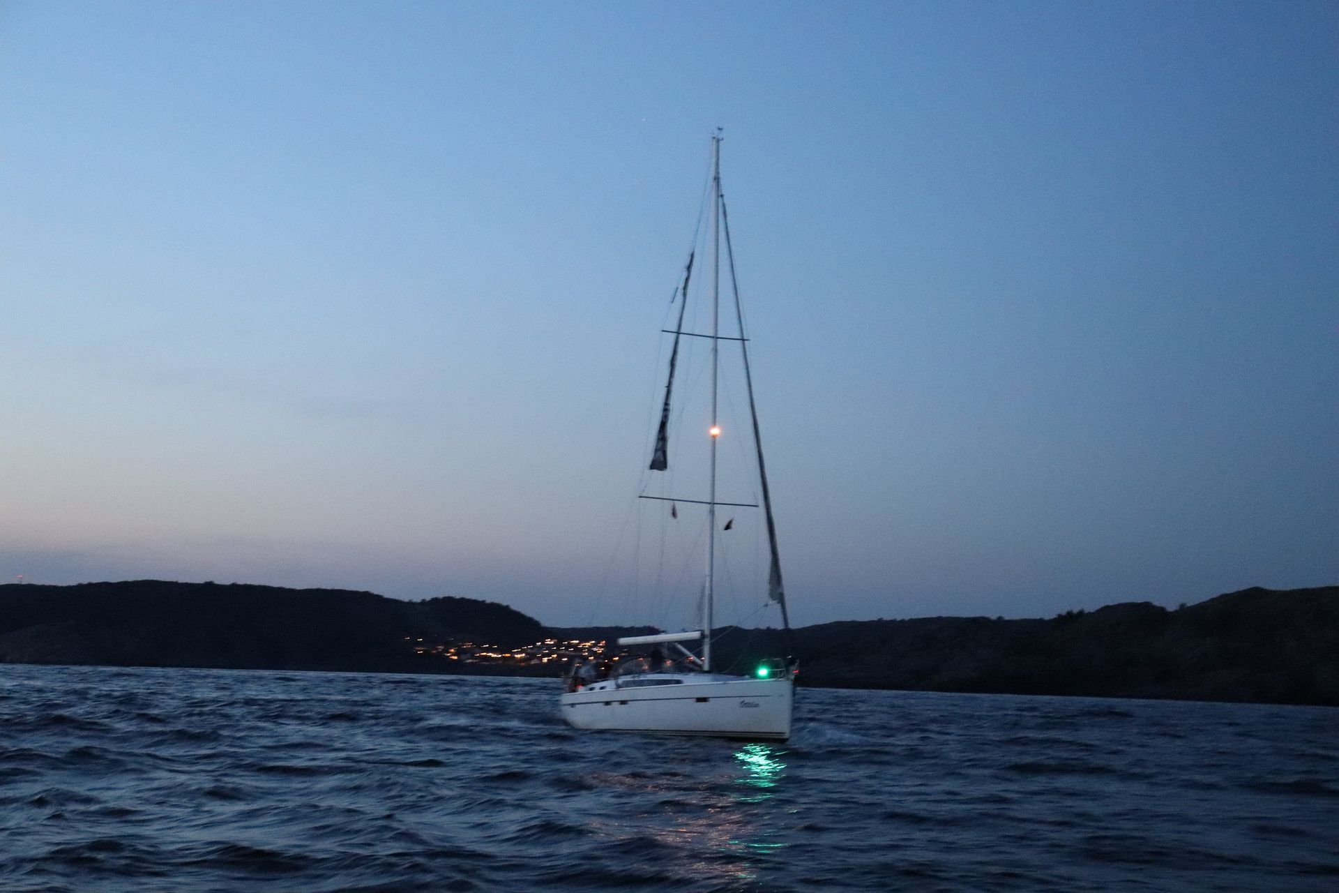
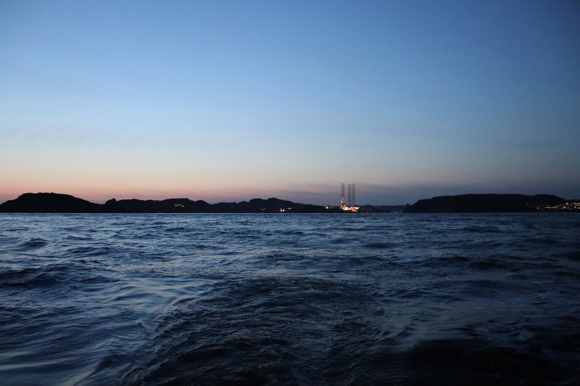
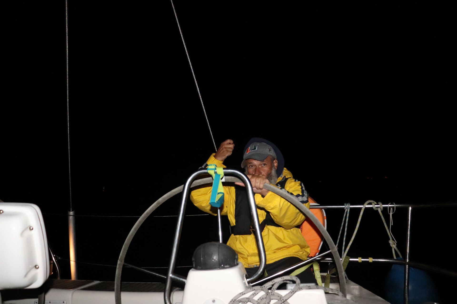
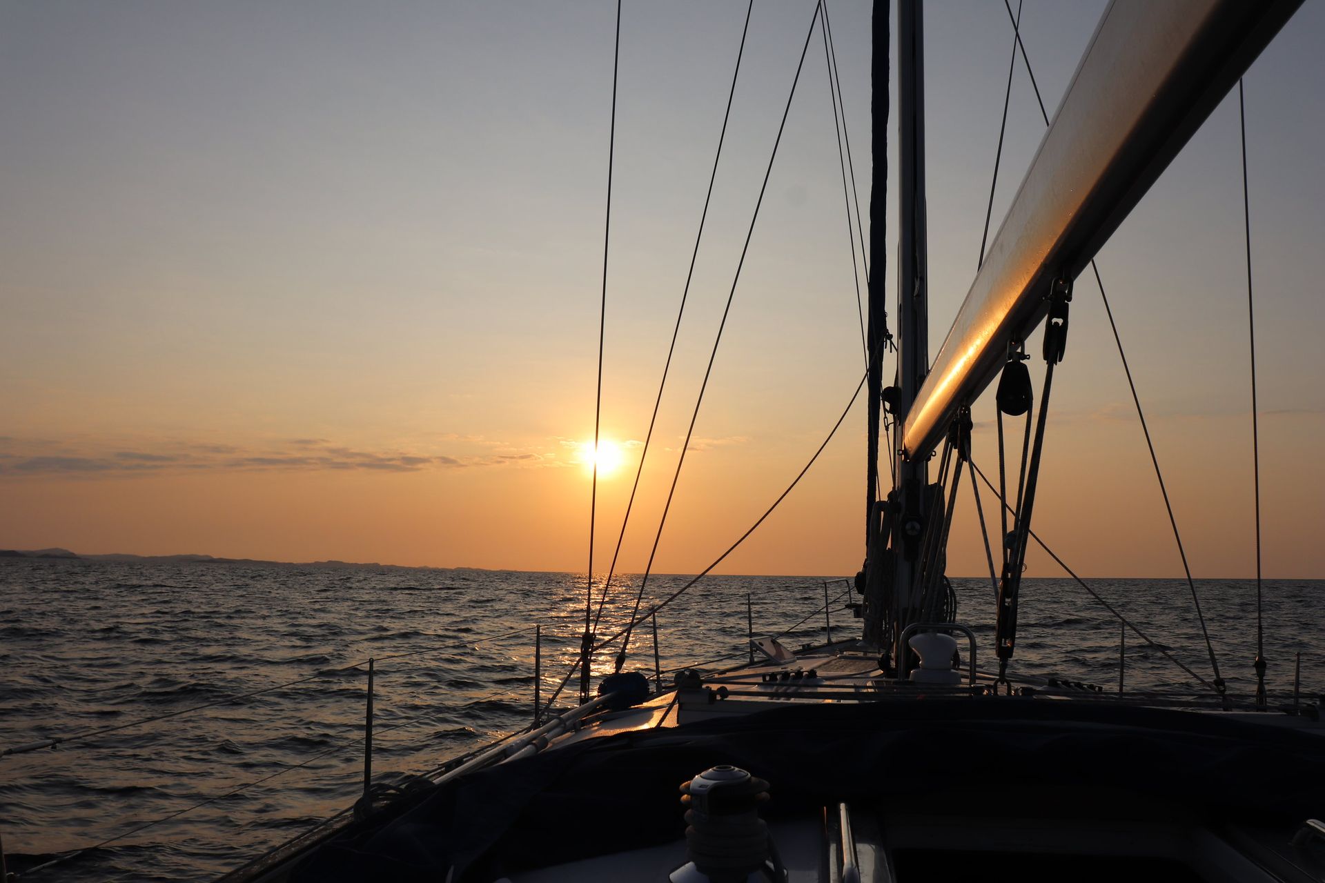
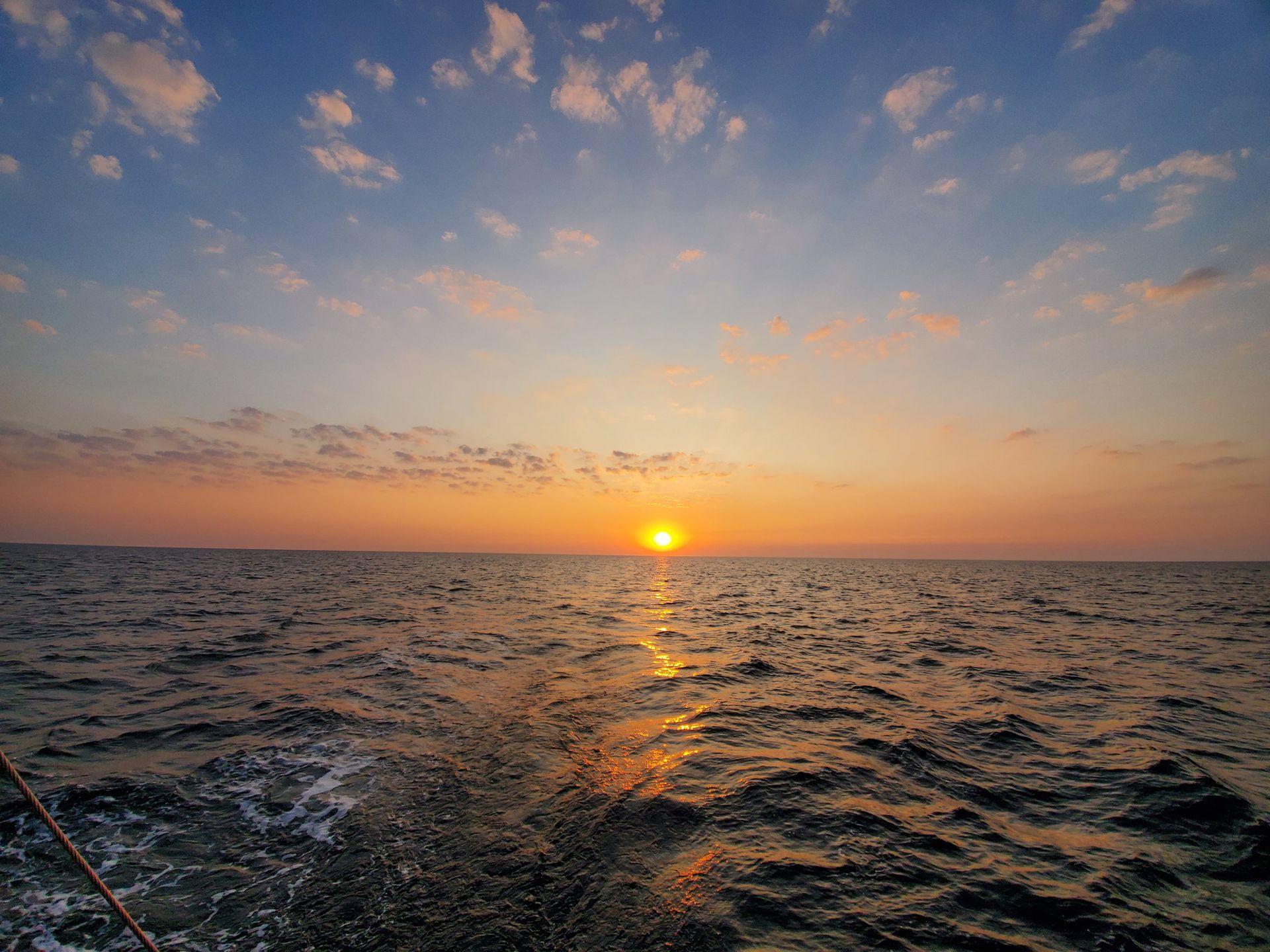
Out again at twenty to ten with the light going, and this far south in August the dark is real. Eight hours of it, and the sun back at eight minutes past seven.
- Away
- 25 August, 21:41
- Sun back
- 26 August, 07:08
- Dark
- About eight hours of it
The difference latitude makes
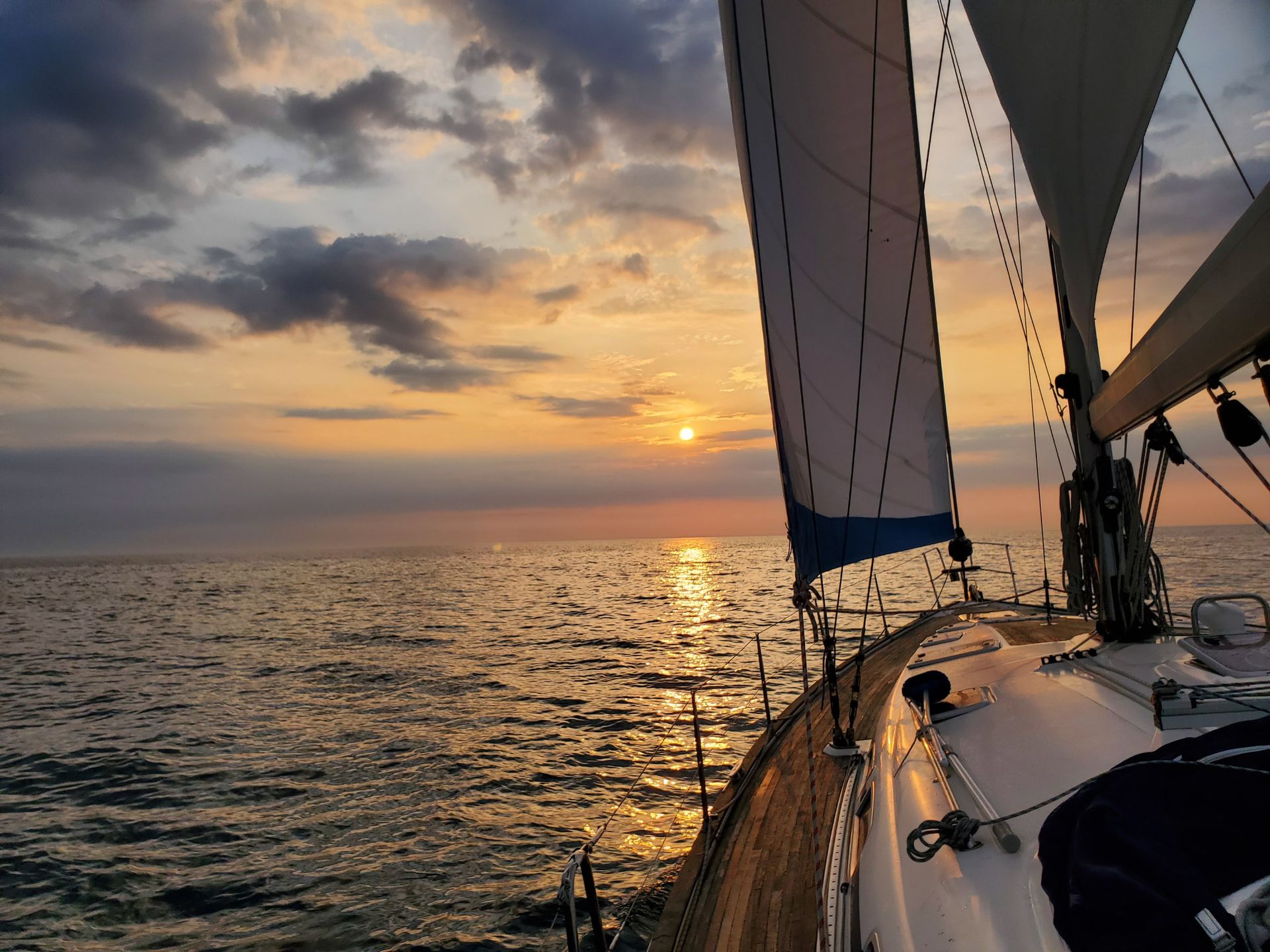
This is the same boat that would later make the Svalbard passage — but seven years before it, nine and a half degrees further south, and with no expedition crew: just us. Up there the sun never went down at all. Here it goes down at ten to nine, stays down, and you stand a watch in the dark with a compass light and somebody else's shoulder next to you. Nothing about the sailing is harder. It simply stops being strange.

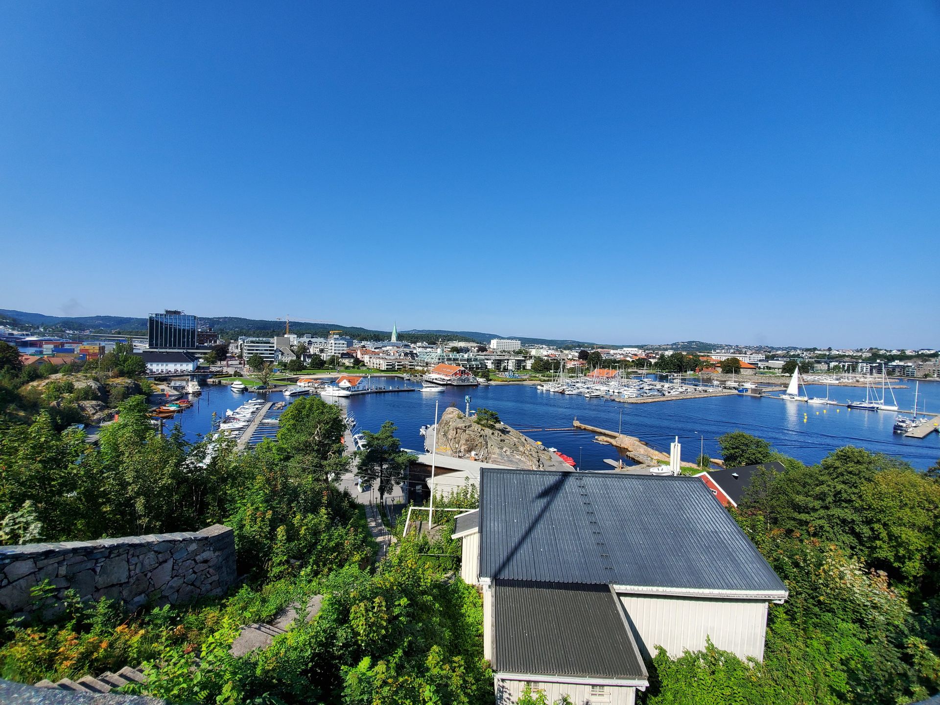
Kristiansand
58°08′N · Agder
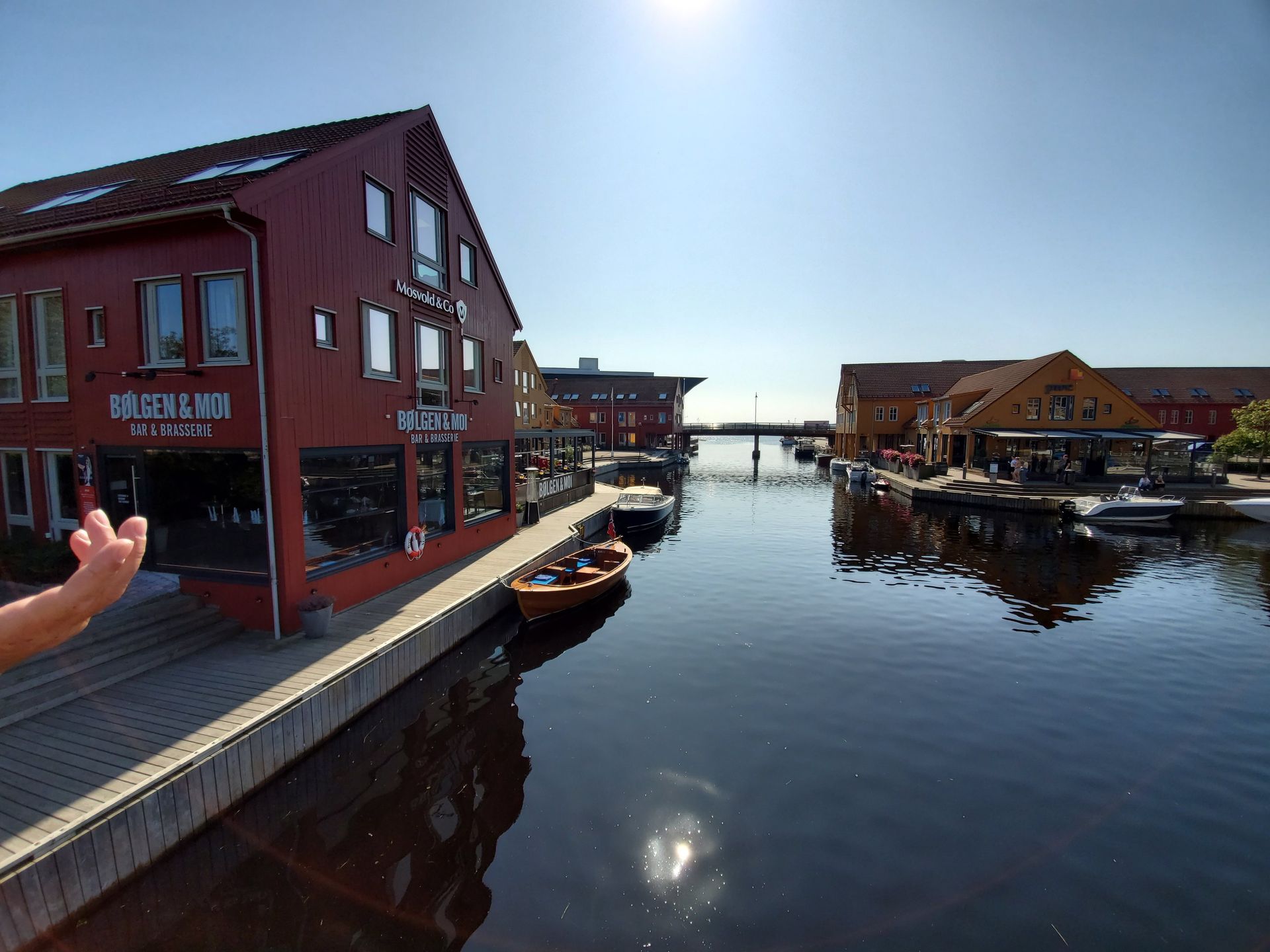
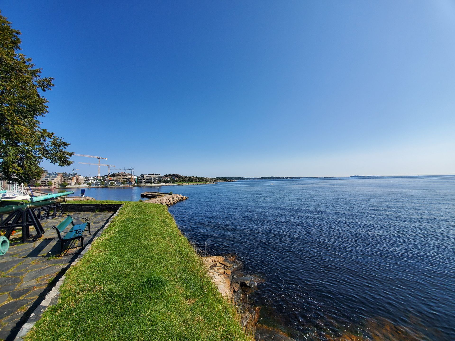
A town a king drew on paper in 1641 and ordered the merchants of Agder to move into. The grid is still there.
- Founded
- 5 July 1641
- By
- Christian IV
- Plan approved
- 6 May 1642
- Population
- 67,920
- Denmark ferry since
- 1872
A town as a rectangle
Hans Jacobsen Schiørts drew the grid for the king and it was approved on 6 May 1642: five long streets, eight cross streets, every street the same width of twenty-four alen, every block ninety-six by a hundred and ninety-two. Pine forest was still standing in the middle of the plan until it was felled in 1685. The fire of 1892 took the south-eastern half, which was rebuilt in obligatory masonry; the timber quarter that survived to the north is Posebyen.
The link to Denmark
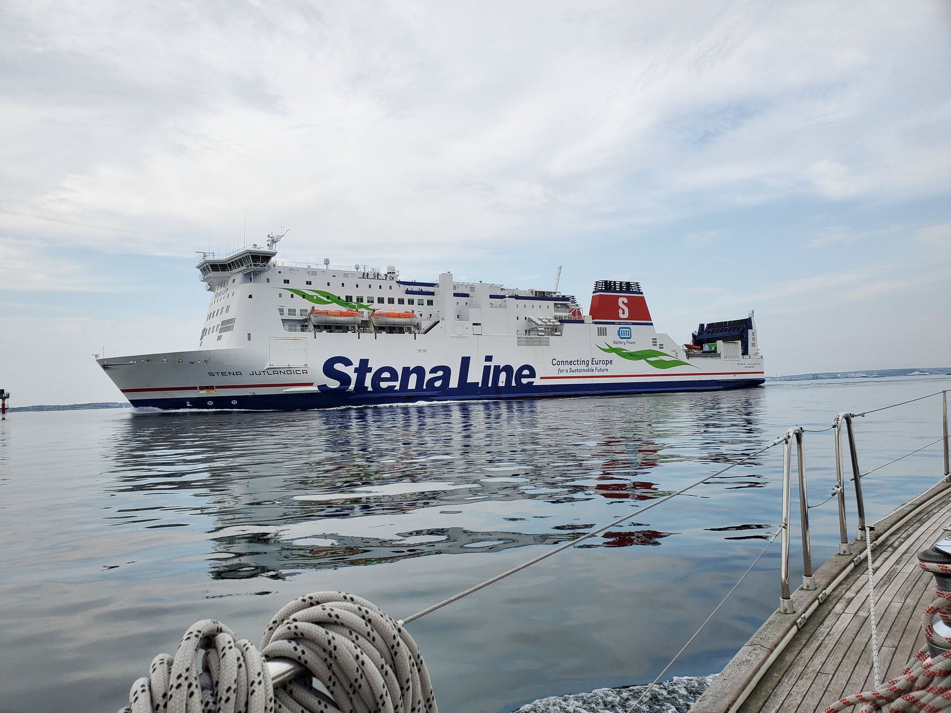
There has been a ferry between Kristiansand and Denmark since 1872, when DS Frithjof ran to Frederikshavn, and the port is formally part of European route E39, which picks up again on the far side at Hirtshals. It is Norway's second largest ferry terminal: in 2022 it took 1,059 calls and just under 1.4 million passengers. Color Line has run the Hirtshals crossing with SuperSpeed 1 since 2008, three and a quarter hours at up to thirty-one knots.
The Skagerrak
Norway → the Skaw
Until the Eider Canal opened in 1784 this was the only way in or out of the Baltic. It has been crowded ever since.
- Length
- 240 km
- Width
- 80–140 km
- Maximum depth
- Over 700 m
- Deepest
- Off Arendal
- Vessels, 2013
- About 7,500
The trench underneath
The sea shoals gently from the Danish side and then falls away steeply toward Norway into the Norwegian Trench, an elongated depression fifty to ninety-five kilometres wide running from Stad to the Oslofjord. Off Rogaland it is 250 to 300 metres deep; off Arendal it reaches about seven hundred, against a North Sea average of roughly a hundred. It was cut by rivers in the late Tertiary and deepened by ice streams. It is not a subduction trench, whatever the name suggests.
Why it has a reputation
The US Sailing Directions designate a large Dangerous Wave Area across the north-west Skagerrak. The westerly coastal current dominates, south-westerly swell refracts over the Norwegian Trench and again over the steeply shelving seabed inshore, and where wave meets current it breaks. The same publication warns that in heavy gales the sea often breaks over ground with less than forty metres of water. On the Danish side the current sets east at half a knot to a knot and a half, and three or four in a storm.
Two waters, going opposite ways
A salt undercurrent runs in through the Skagerrak toward the Kattegat and the Baltic while a brackish surface current runs out over the top of it — the Baltic Current, which becomes the Norwegian Coastal Current. You are sailing on water leaving the Baltic and over water going into it.
Into Sweden
57°39′N · Göteborg
The rock changes nationality and loses its trees. Then a green bridge, and the largest port in the Nordics behind it.
- Archipelago
- Entirely car-free
- Residents
- 5,000, and 6,000 in summer
- Bridge opened
- 8 November 1966
- Main span
- 417 m
- Clearance
- 45 m over 100 m width
- Port calls
- Over 11,000 a year
Islands without cars
The southern Gothenburg archipelago — Asperö, Brännö, Köpstadsö, Styrsö, Donsö, Vrångö — is entirely car-free, and the city's own tourist board states it flatly. About five thousand people live there permanently and six thousand in summer, and everything moves by ferry from Saltholmen or Stenpiren on an ordinary city ticket. Land transport is mostly the flakmoped, a three-wheeled flatbed moped; on Köpstadsö even mopeds are banned and people use wheelbarrows.
A square kilometre of tanker owners
Donsö is under a square kilometre and had 1,407 residents in 2010, and it is the home port of an unusual concentration of shipping companies — Donsötank, Furetank, Veritas Tankers, Sirius, Tärntank. A car-free island of fourteen hundred people owns a meaningful share of the northern European product-tanker fleet.
The gate you sail under
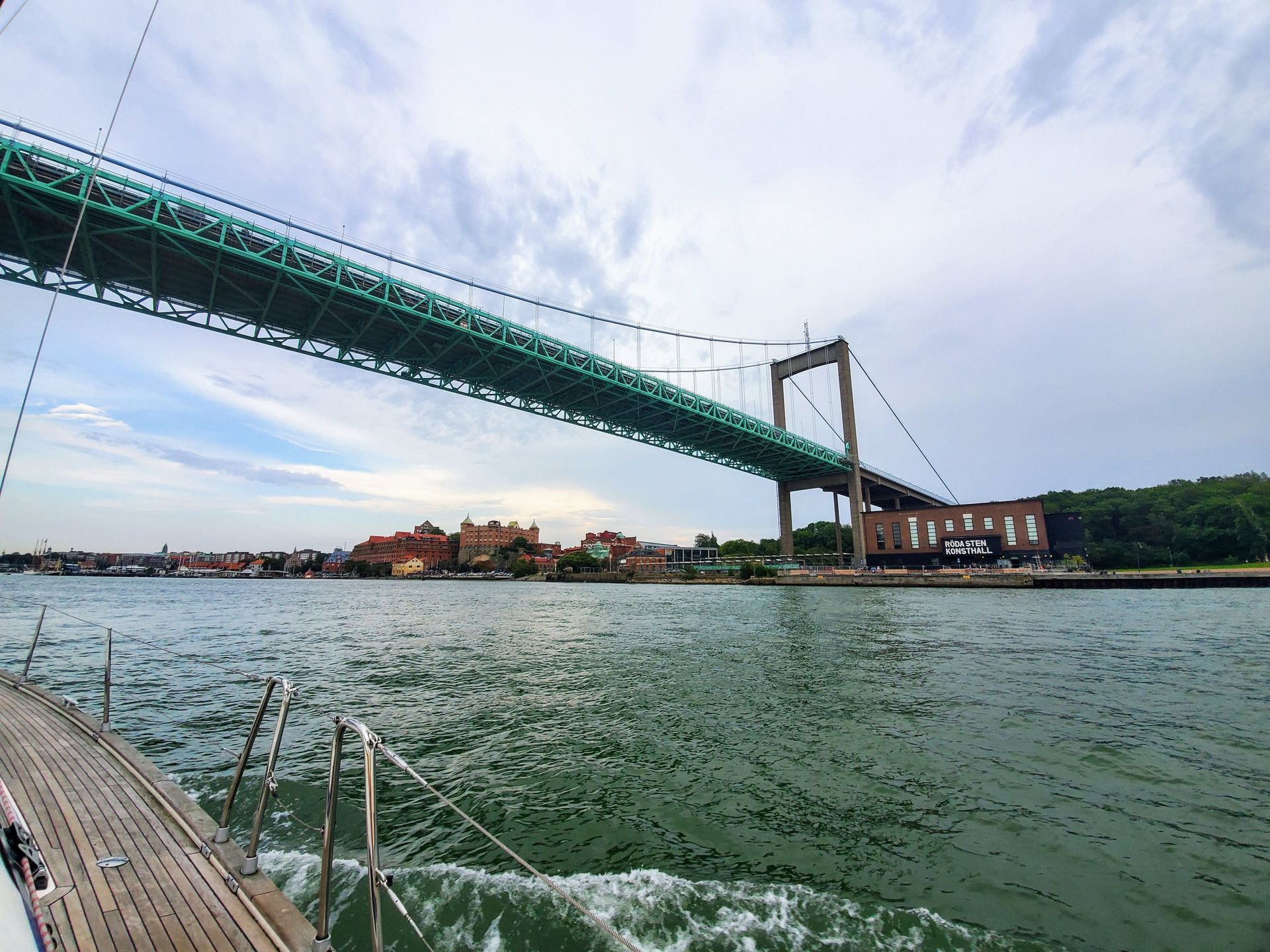
Älvsborgsbron carries six lanes over the mouth of the Göta älv, designed by Sven Olof Asplund and inaugurated on 8 November 1966 by the communications minister Olof Palme. Its 417-metre span was the longest in Sweden when it opened, and the clearance is forty-five metres held over a hundred metres of navigable width, marked by floodlit patches painted on the bridge itself. Forty-five metres is well short of what the largest cruise ships need, so many of them berth outside it.
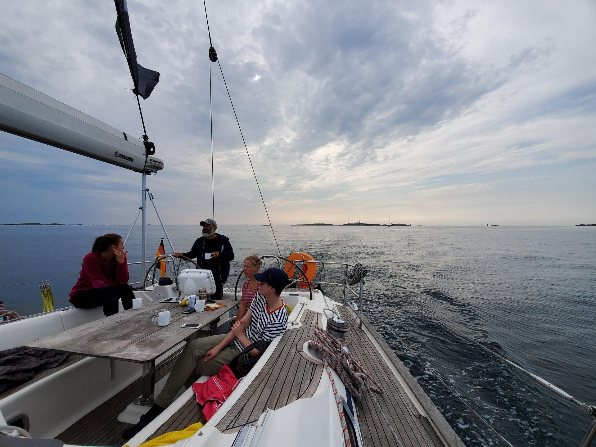
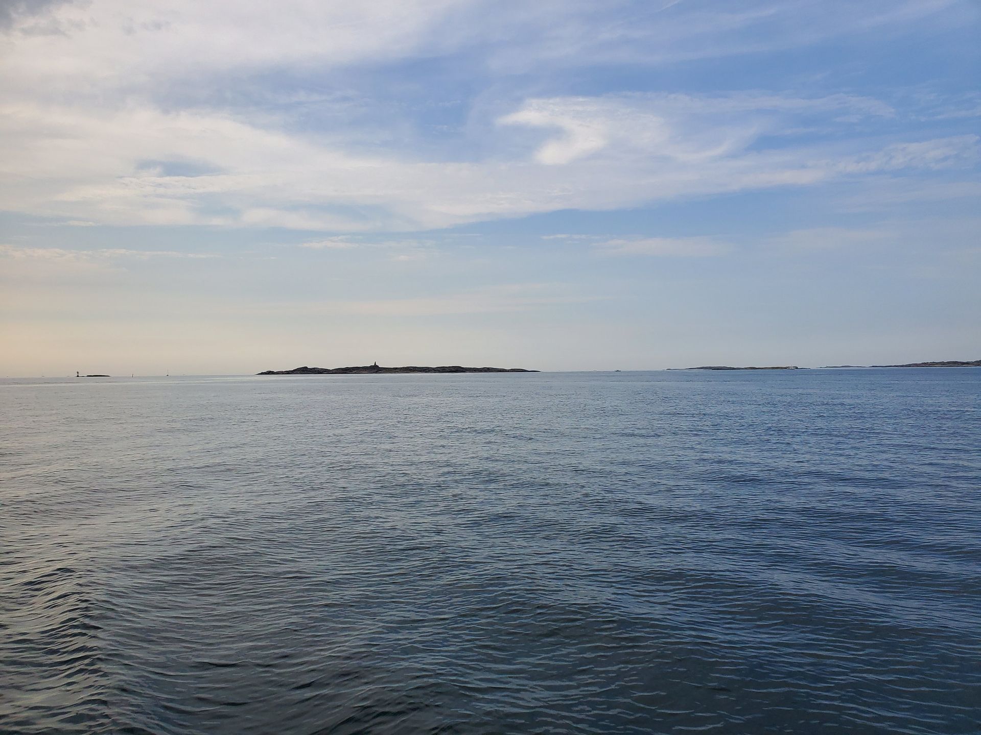
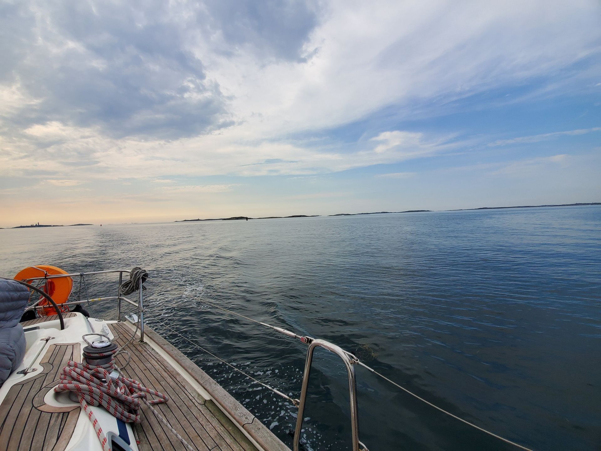
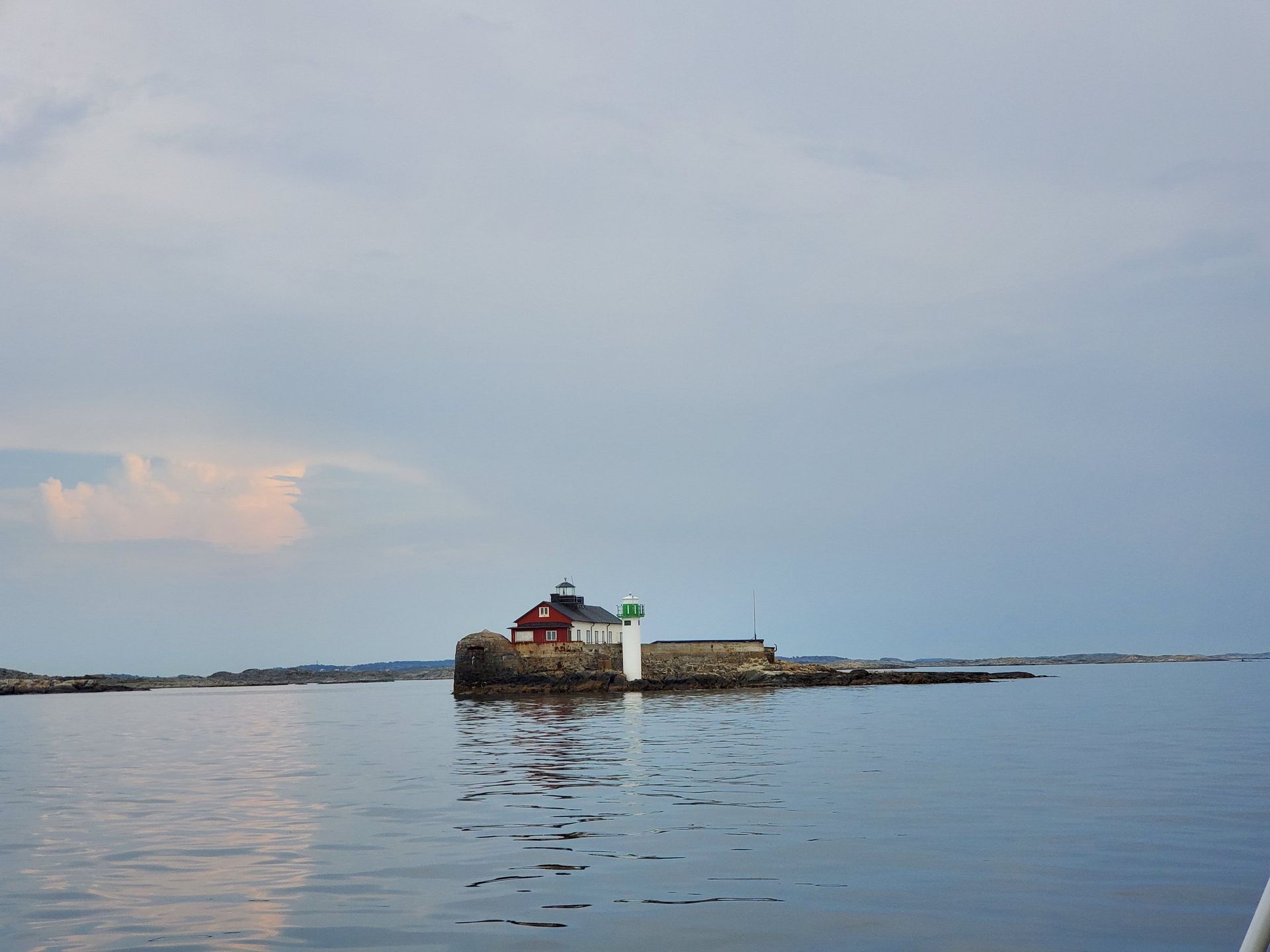
The Kattegat
The cat's gate
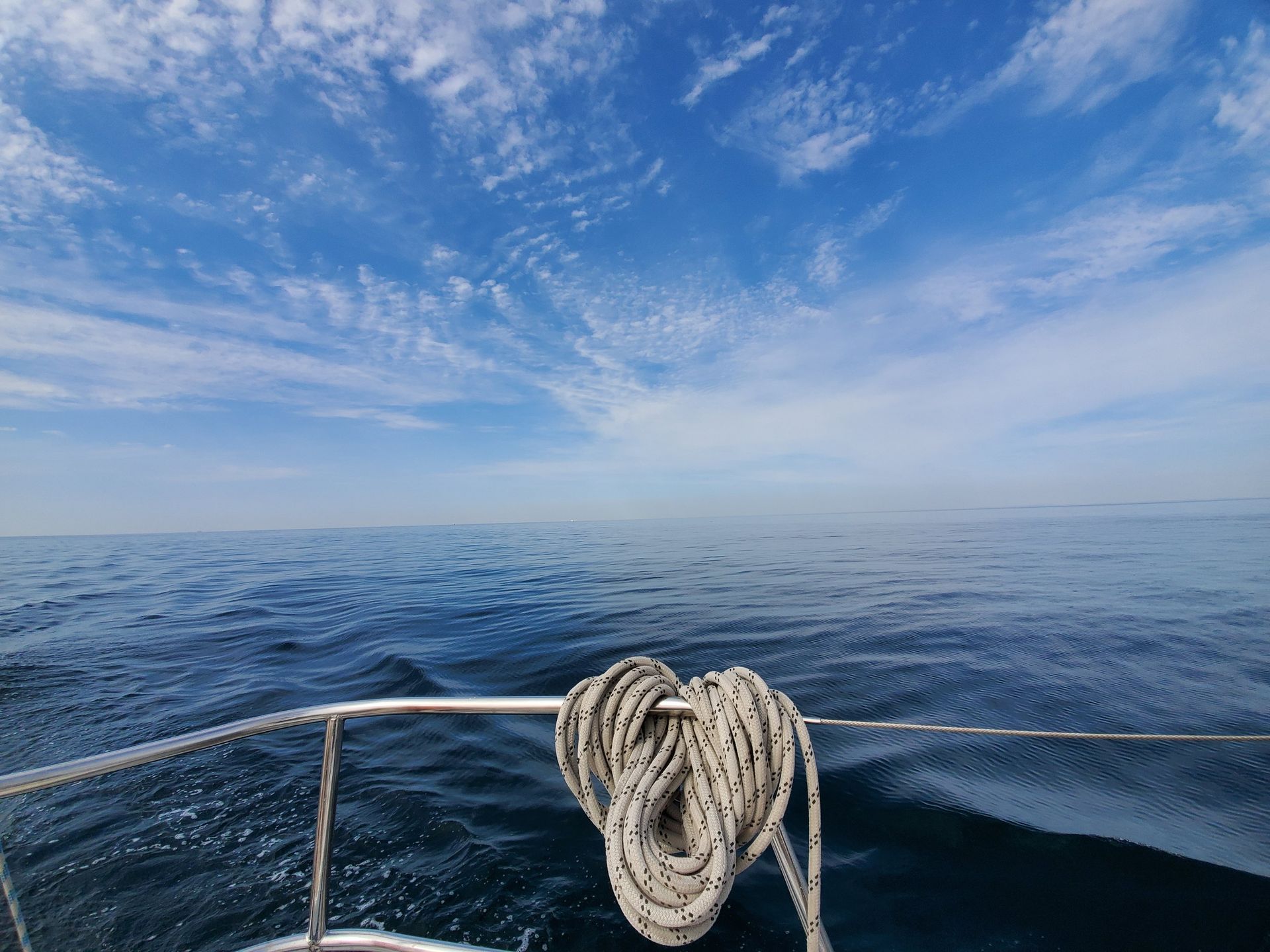
Hanseatic pilots named it for a gap so tight a cat would struggle through. It averages twenty-two metres deep and most of it is shallower than that.
- Average depth
- 22 m
- Most of it
- Under 25 m
- Upper layer
- 18–26 ‰ salt
- Lower layer
- 32–34 ‰ salt
- Halocline
- About 15 m down
- Tidal range
- 15–30 cm
Two seas stacked on each other
The Kattegat is stratified into two bodies of water with a halocline about fifteen metres down. The surface layer at eighteen to twenty-six parts per thousand is mostly Baltic outflow, freshest in the north and against the Swedish coast. Below it lies North Sea and Skagerrak water at thirty-two to thirty-four. The two opposing flows move a net 475 cubic kilometres of water out of the Baltic every year. The tide shifts the level only fifteen to thirty centimetres — it is wind, not tide, that mixes this sea, and in a strong blow the layers mix completely.
Cat's gate
The name is Dutch — katte gat — from late medieval Hanseatic pilotage, which likened the passage to a gap so narrow even a cat would have trouble, on account of the reefs and the shoals. Channels have since been dredged, reefs cleared of boulders and a dense network of lights installed. About seven thousand ships a year still come through, most of them deep-draught and bound to or from the Baltic.