Svalbard · 74°30′N to 78°55′N · July 2026
The sun
did not setHow people live at the top of the map, in 197 plates
There is no hour
of this album
without a photograph.

Nine degrees of latitude. Eight hundred and sixty nautical miles. Eleven days between the edge of the inhabited world and the shore of the one we call normal.
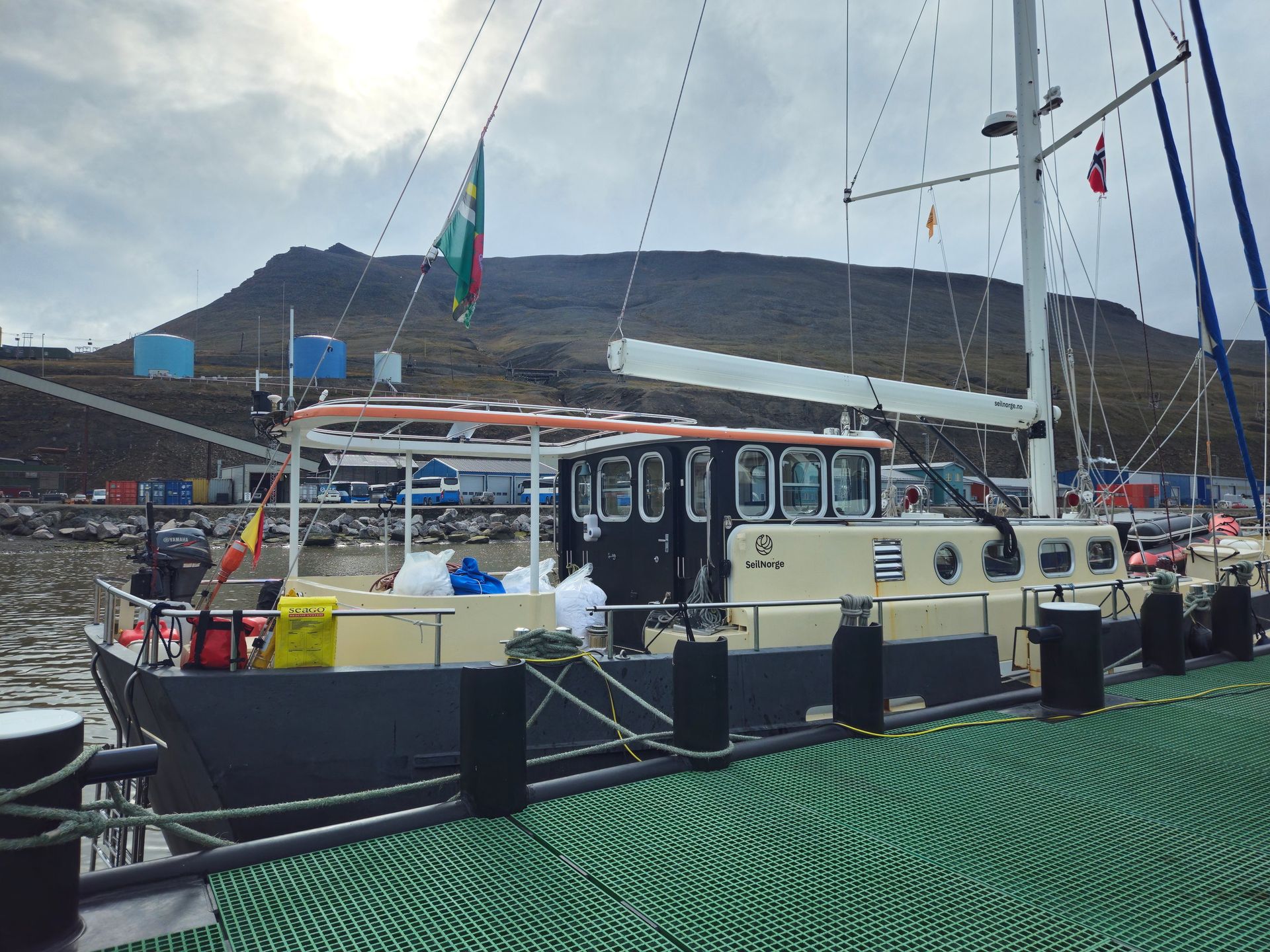
There is a place where the map runs out of names, where the meridians crowd together like the ribs of a closing hand, and the pole sits six hundred and sixty miles off the bow. We started there. On 17 July we let go the lines in Longyearbyen, and spent the next eleven days working our way down the archipelago and across the Barents Sea — not fleeing it, but reading it: two research stations, two Soviet company towns, a calving front, an island with nine people on it, and five days of open water between the last of them and Norway.
Longyearbyen: The Last Town
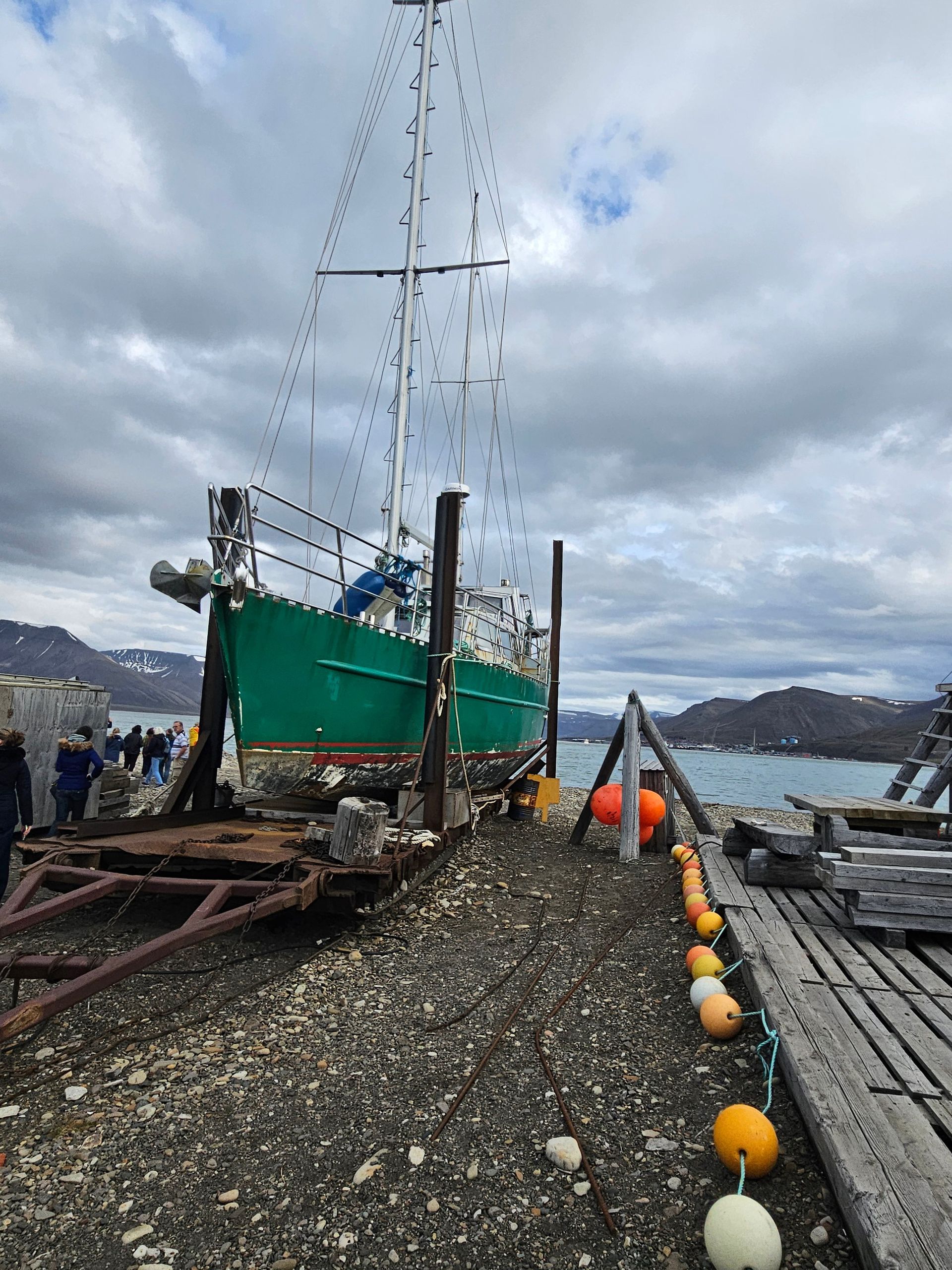
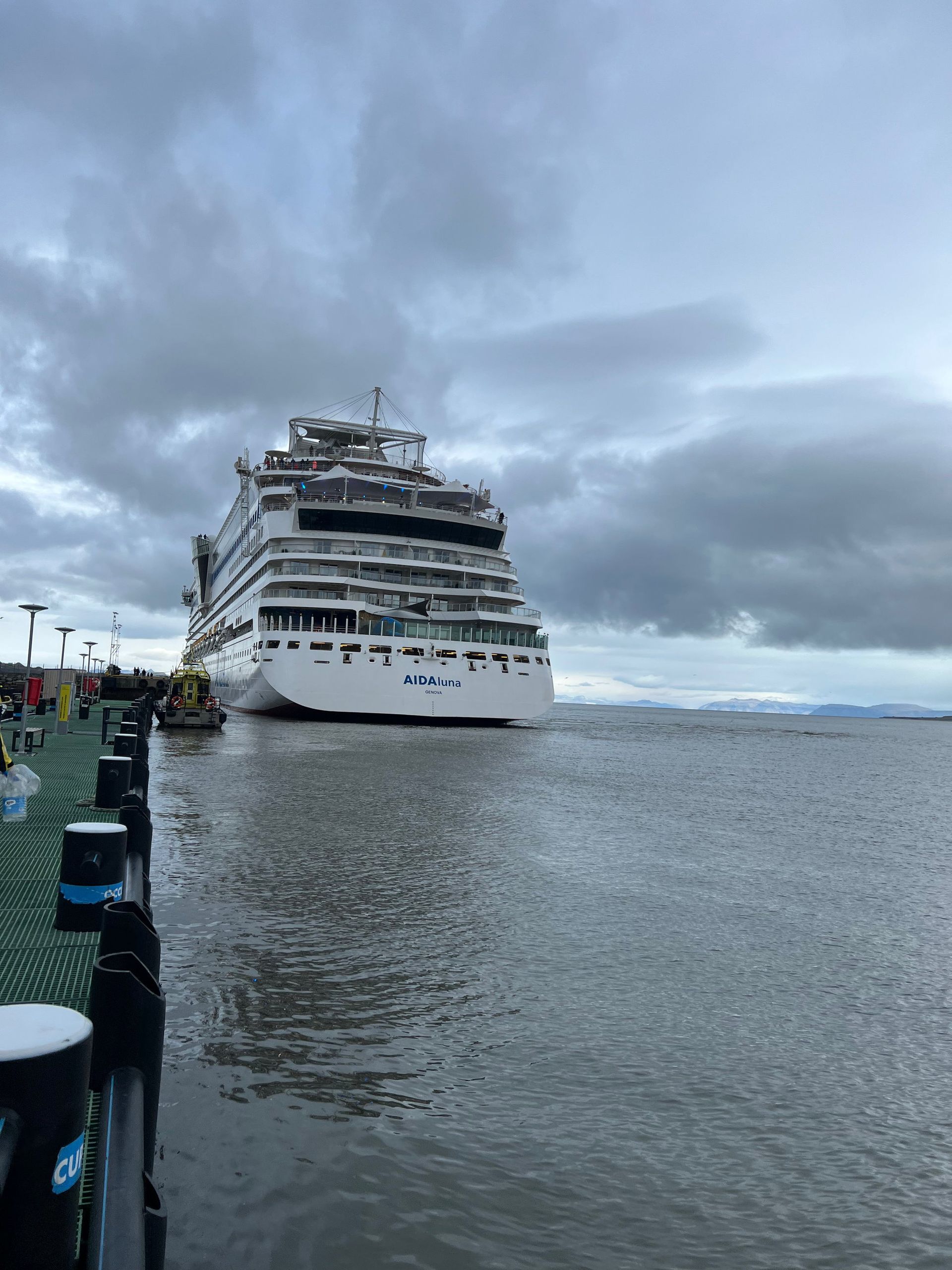
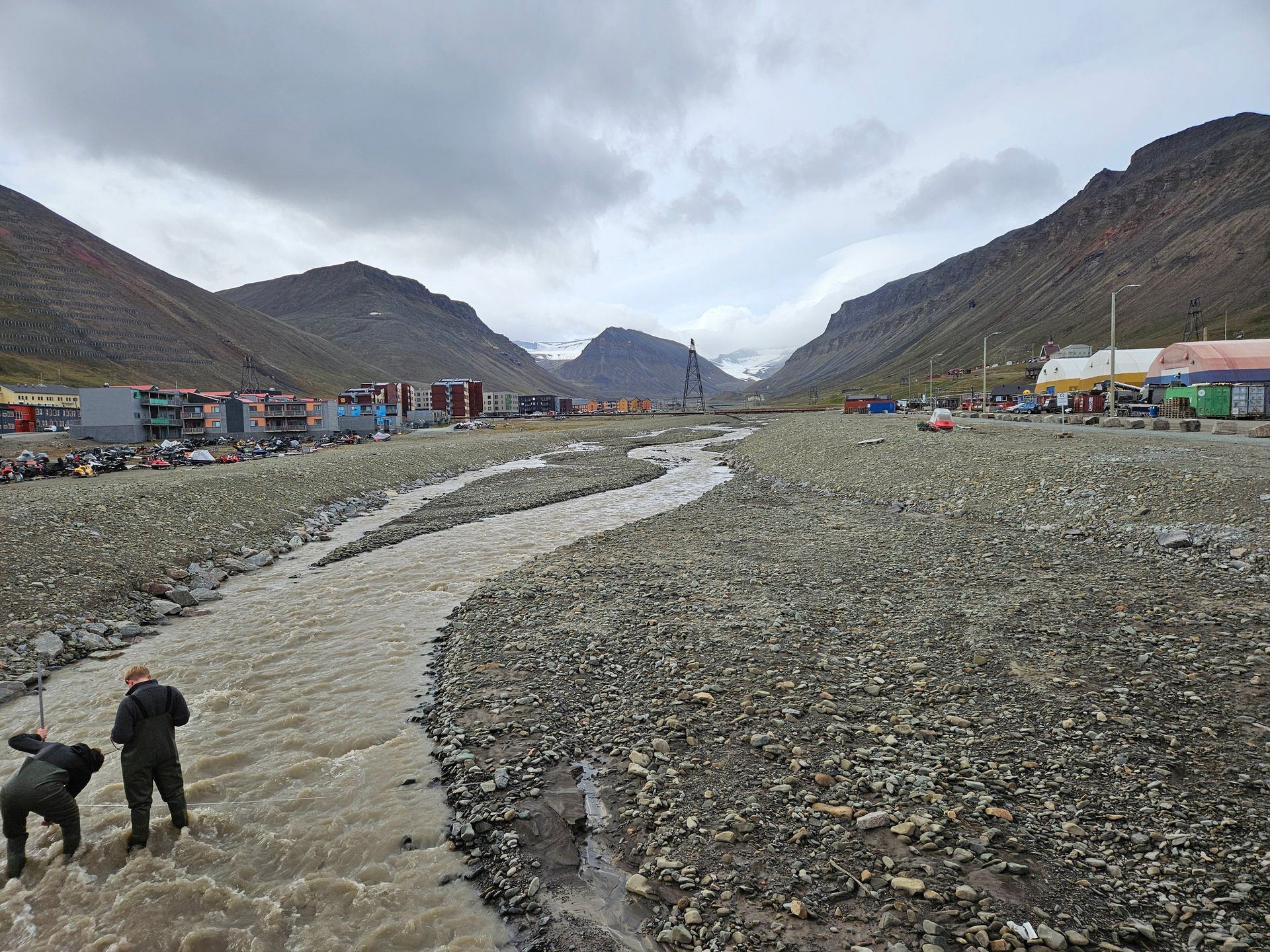
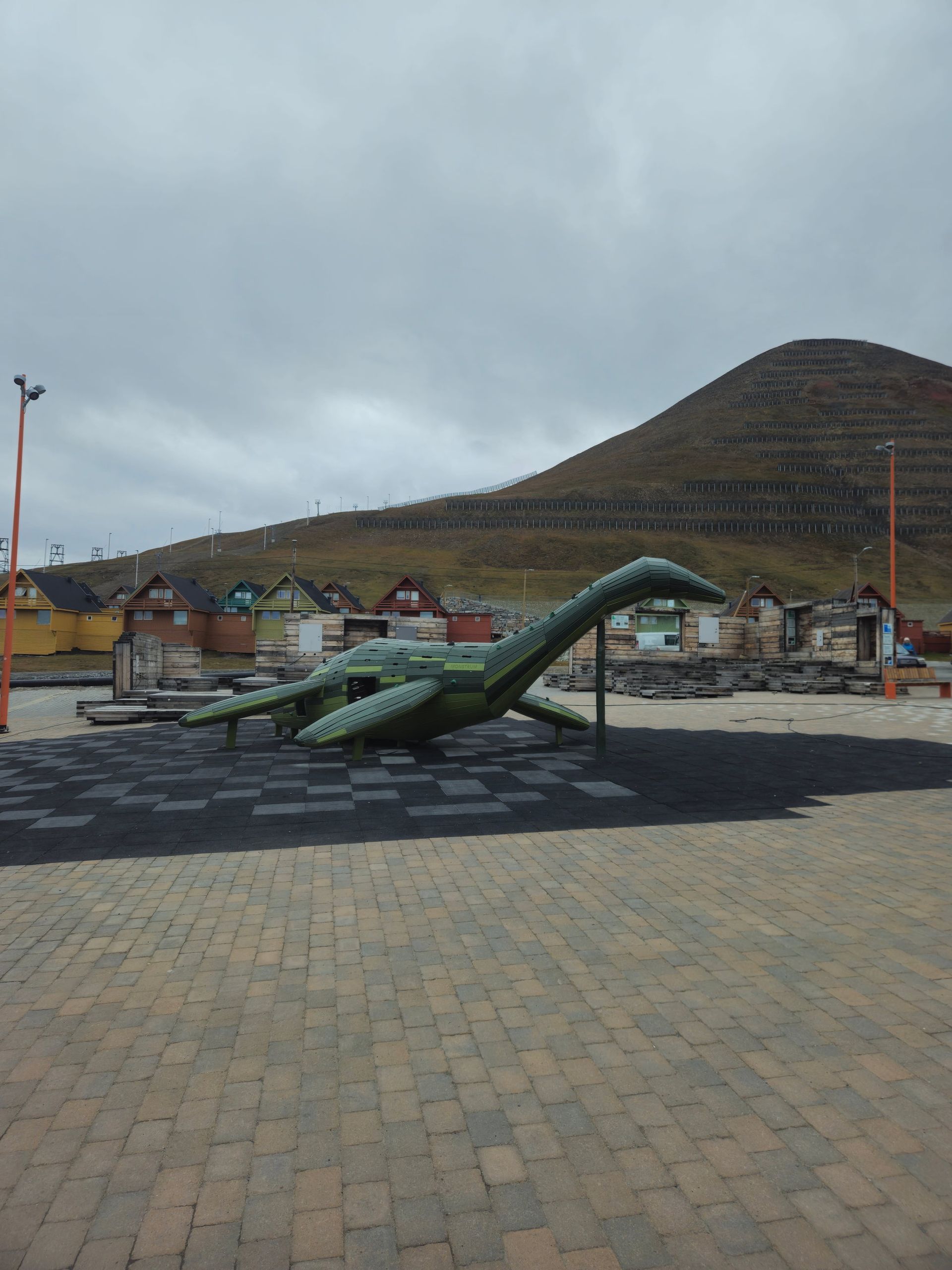
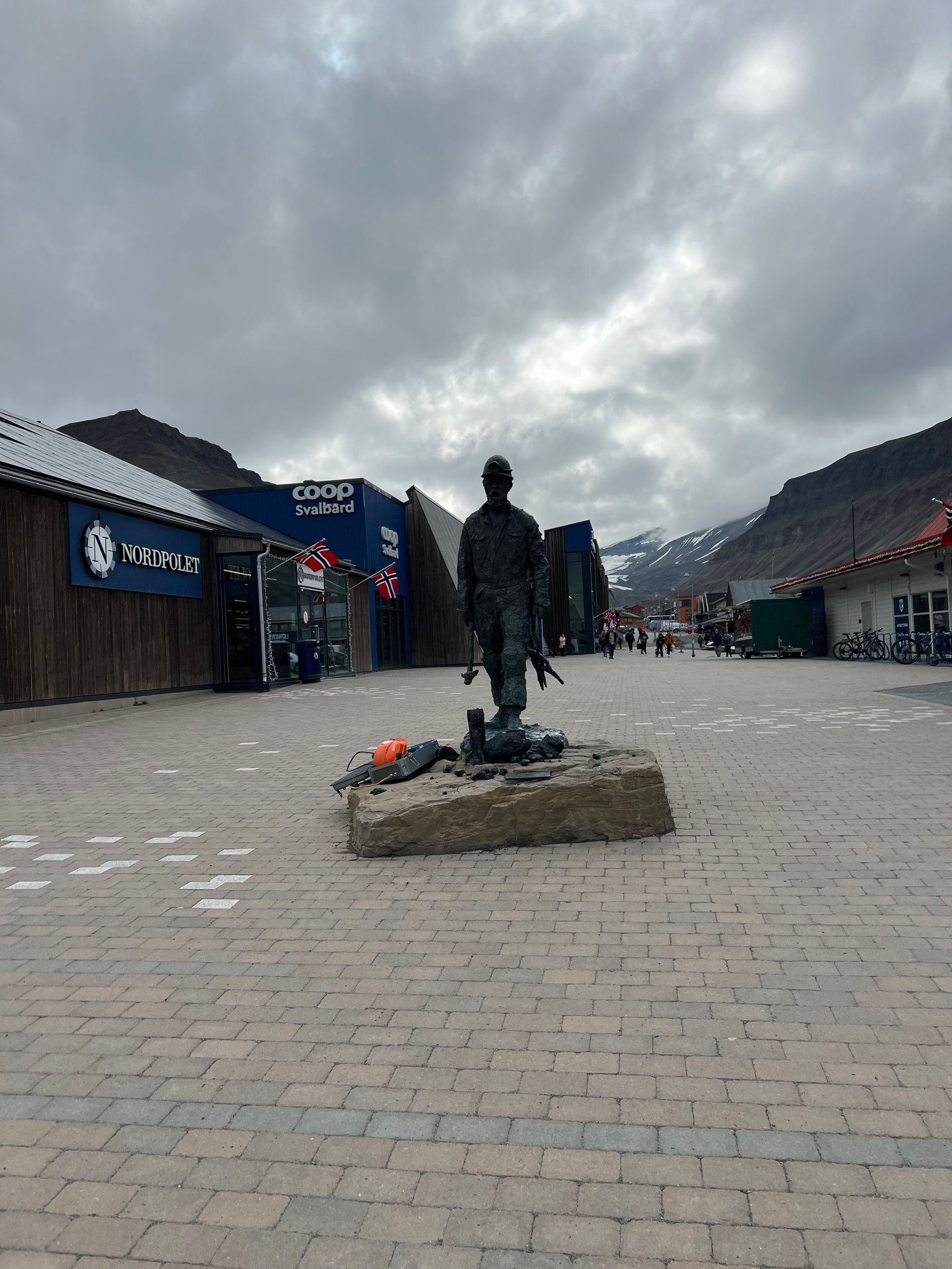
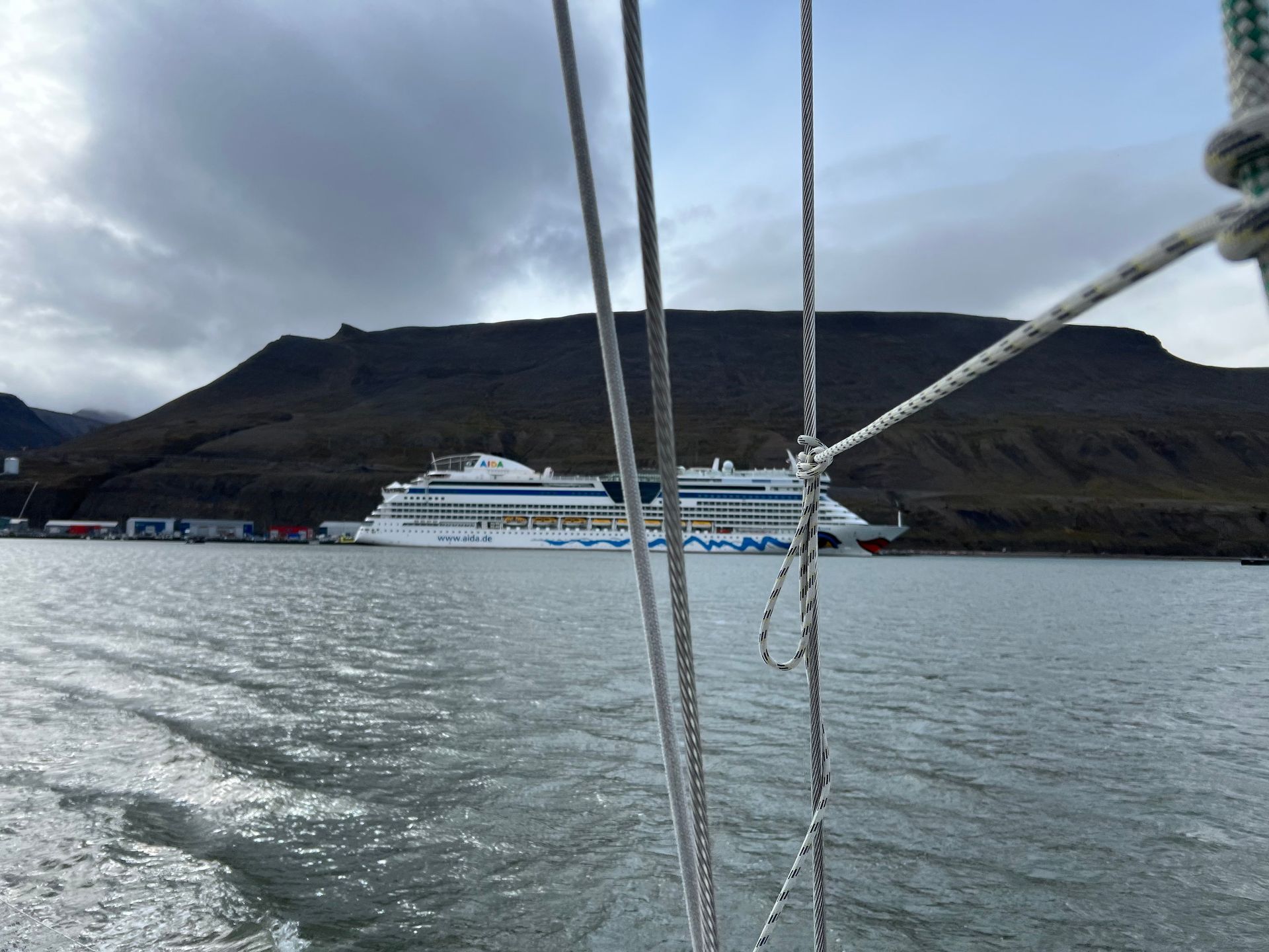
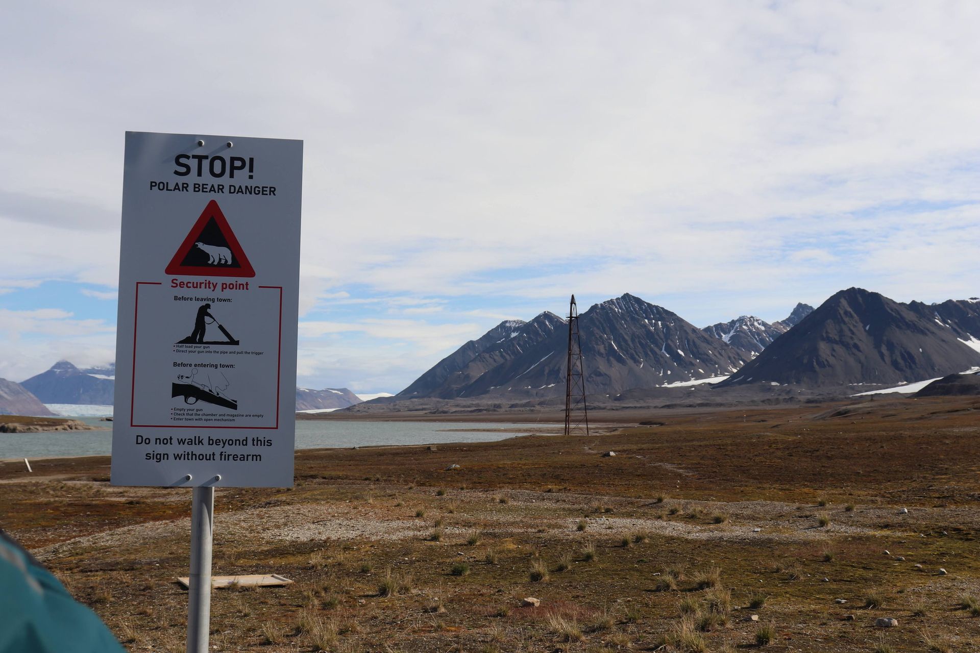
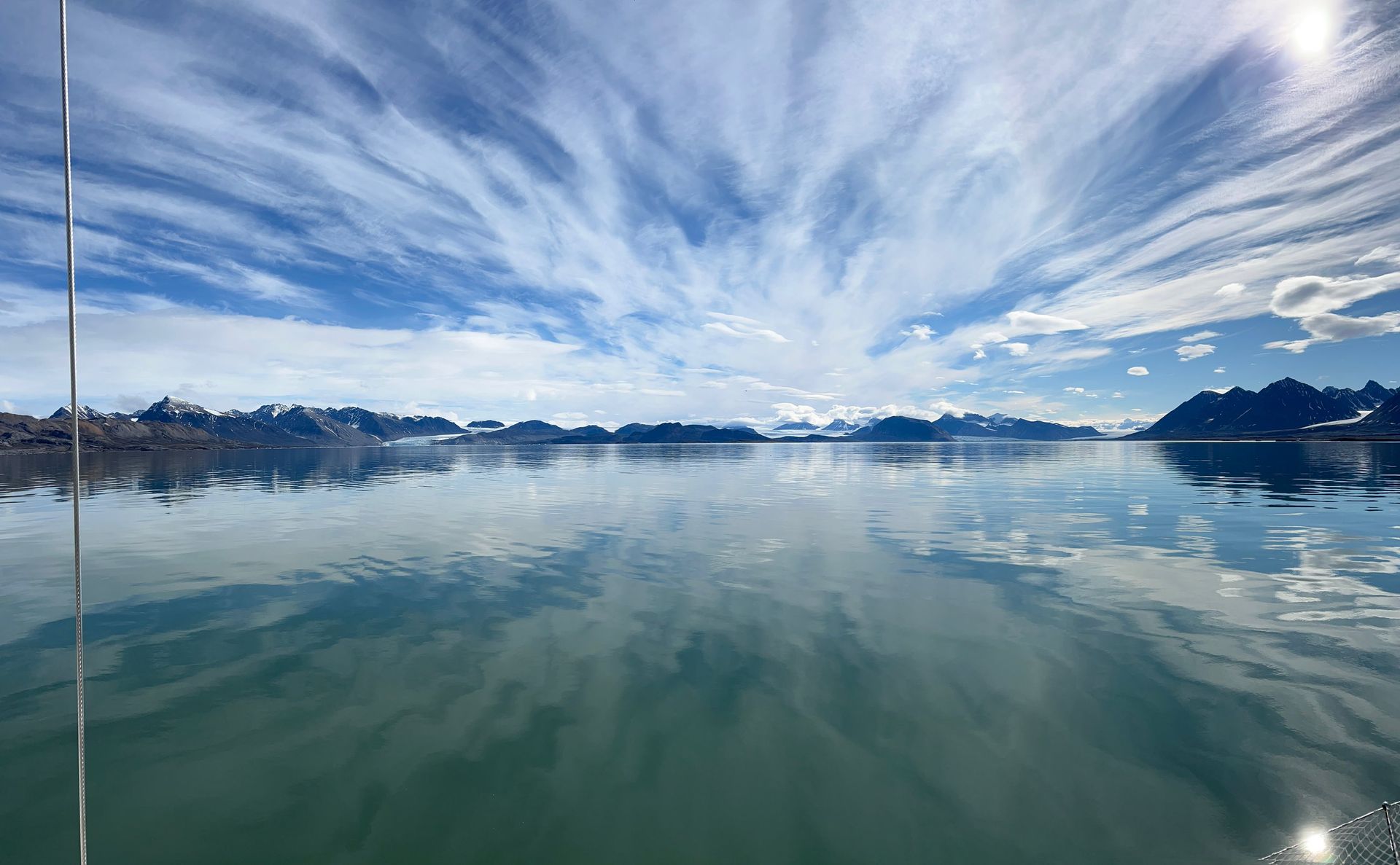
Longyearbyen does not welcome you; it tolerates you. The northernmost town on Earth is a thin scatter of steel and timber pinned to the floor of a valley that ice spent a million years gouging out, and every window looks up at mountains that do not care. Nothing grows taller than your ankle. The soil is frozen a few hand-widths down and stays that way forever. People here carry rifles past the last houses — not for ceremony, but because beyond the last house the town has no more opinions and the Arctic has all of them. It is a hard place pretending, for a few streets, to be an ordinary one. From the water it looks like what it is: a handful of matchboxes at the foot of a wall the size of the sky.
North to 79°: Ny-Ålesund
Leg one took us out of Isfjorden, through Forlandsundet, and up the raw western coast — 195 miles in 37 hours under way. At 06:55 UTC on 18 July the GPS wrote down our northernmost line: 79°00.16′ N, 11°14.25′ E. Read that again — seventy-nine degrees. From that fix you could sail six hundred and sixty miles due north and hit the North Pole, and there would be nothing in between but pack ice and the curvature of the planet.
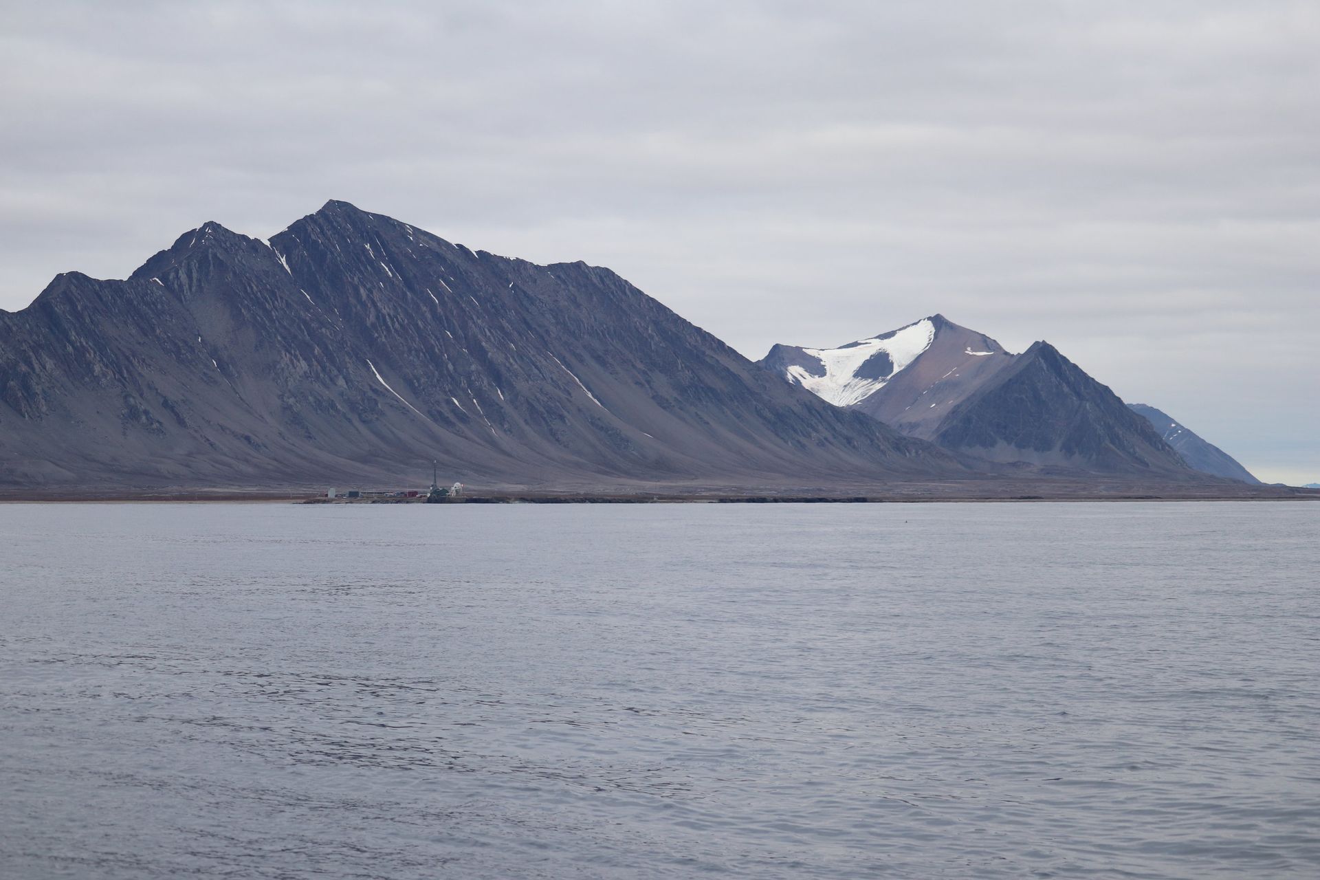
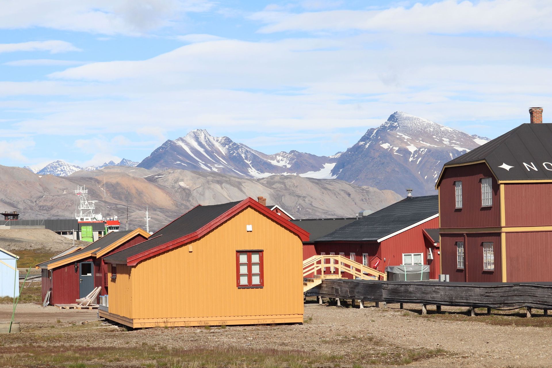
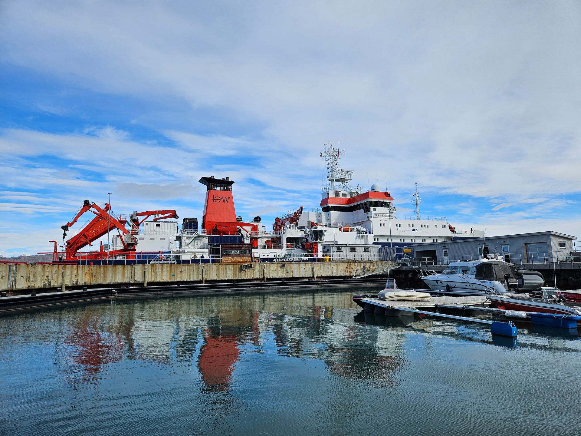
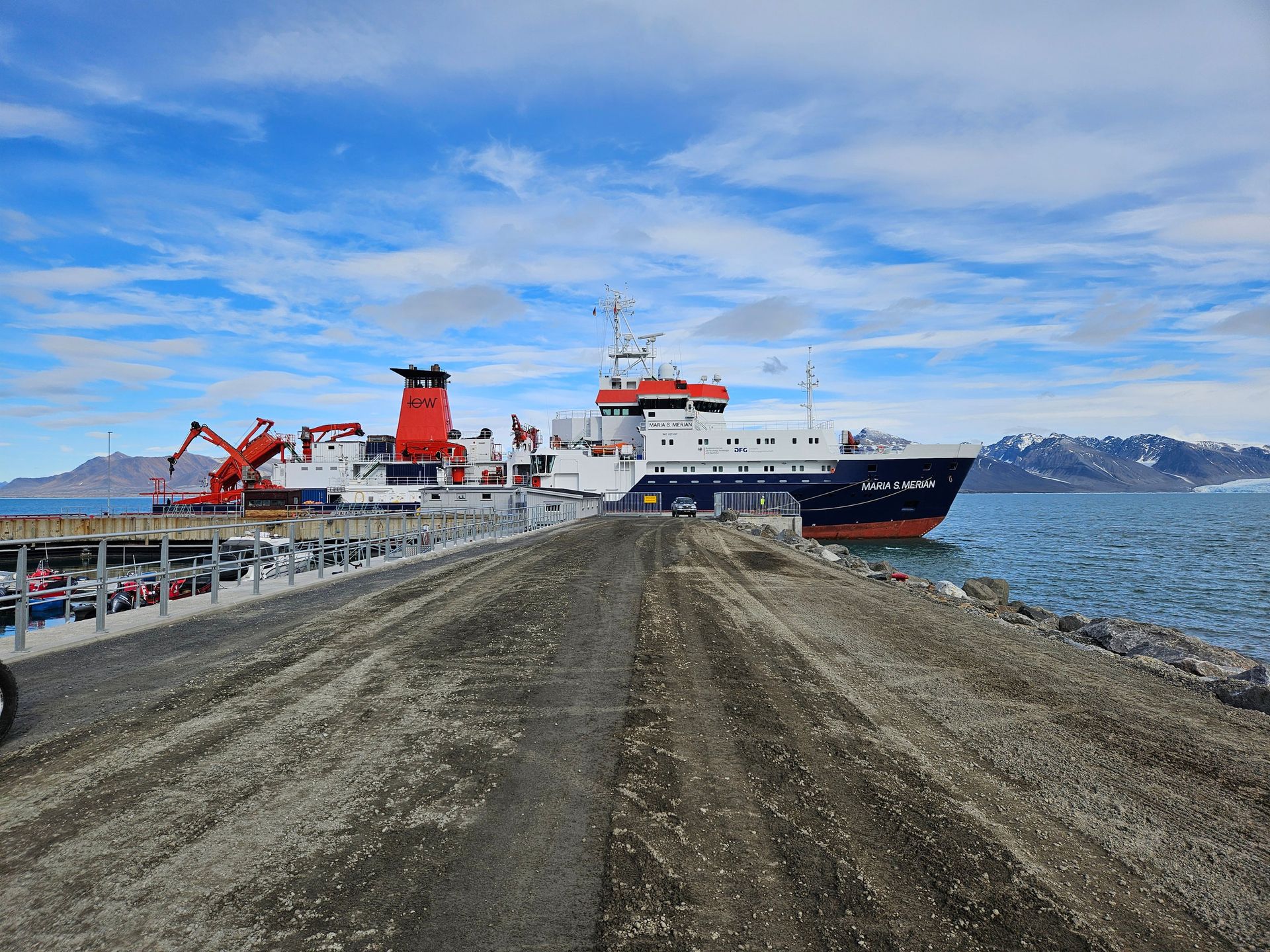
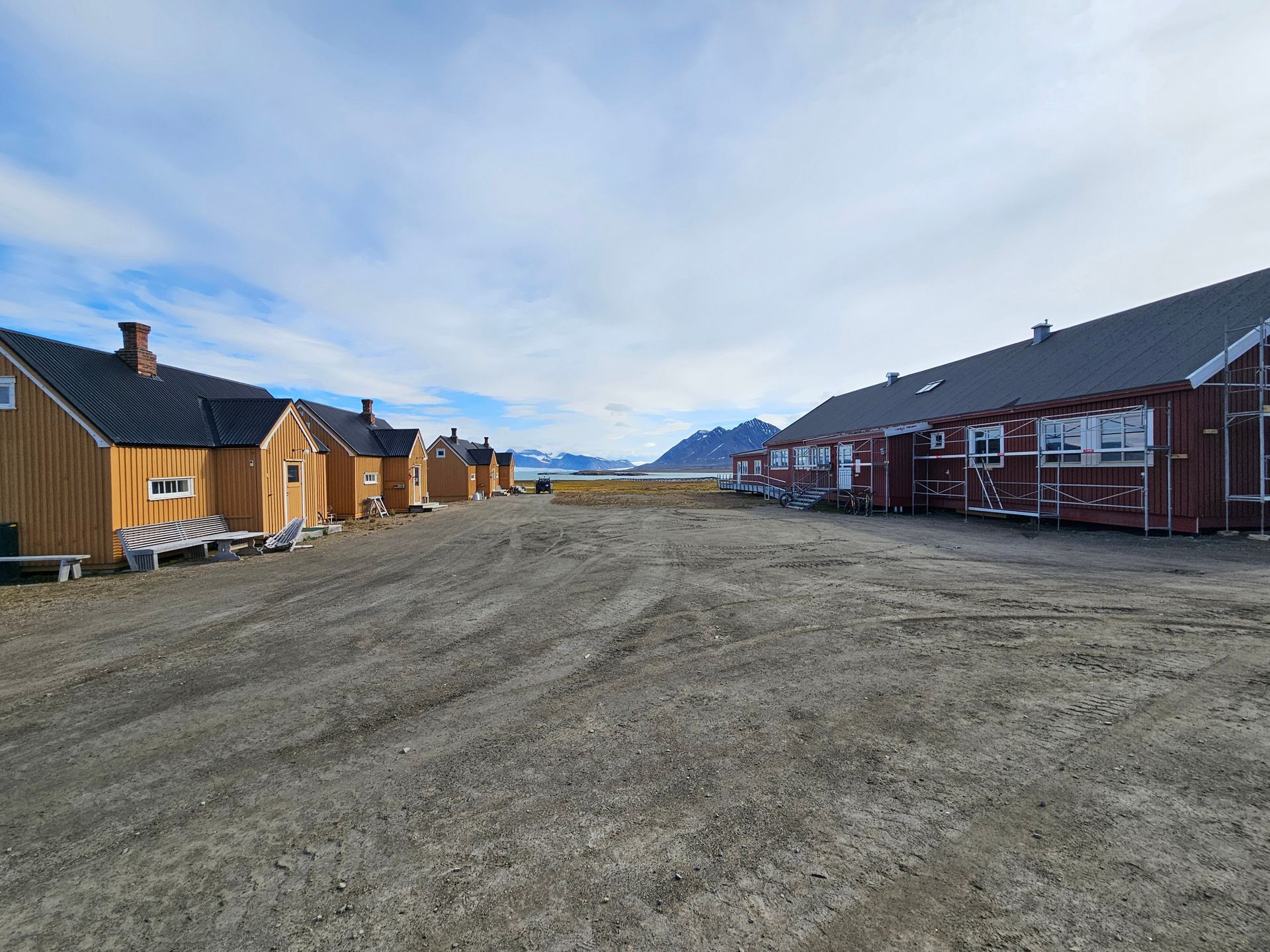
Ny-Ålesund, where we lay alongside for 37 hours, is the northernmost permanent settlement humans have managed to keep alive. It exists on stubbornness. A few dozen scientists winter here in a huddle of bright wooden buildings on the shore of Kongsfjorden, with glacier fronts calving across the water and radio silence enforced across the whole town so the instruments can listen to the sky. Walk ten minutes in any direction and you are the only warm thing in a landscape that was old before anything walked on it. The grandeur is not scenic; it is indifferent. That is what makes it grand.
Barentsburg: Coal at the End of the World
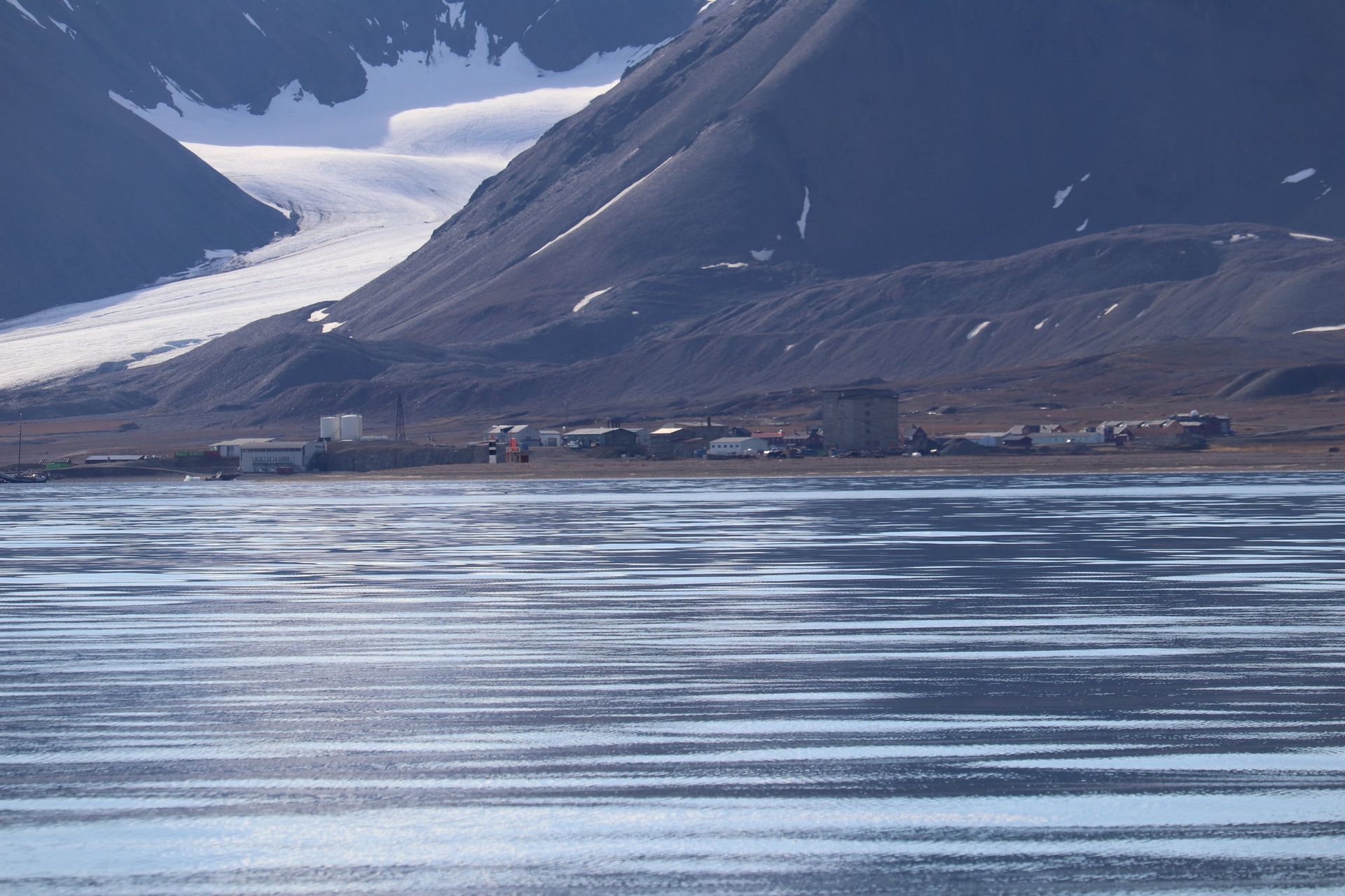
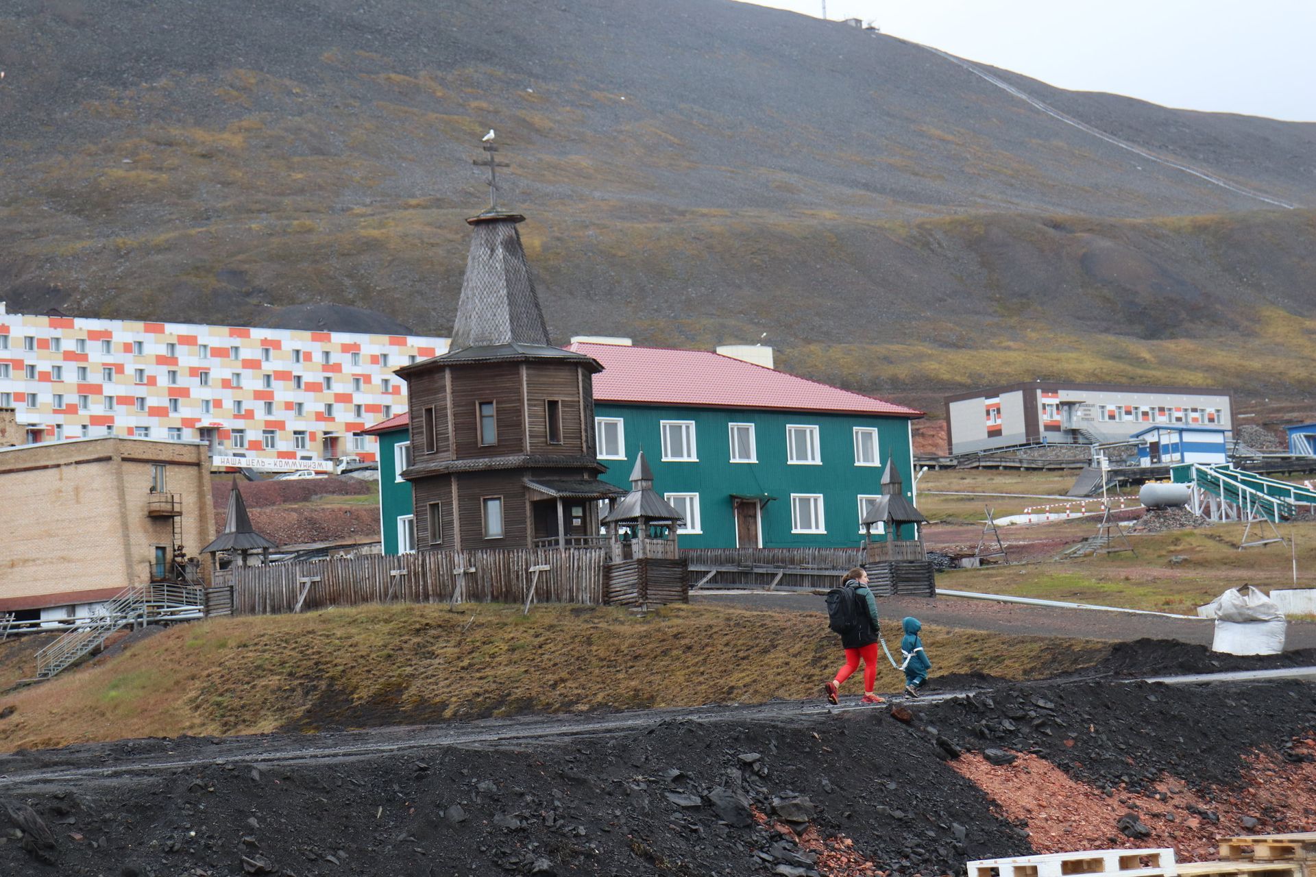
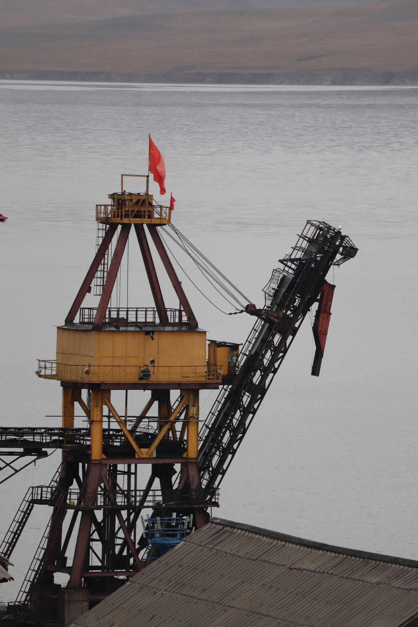
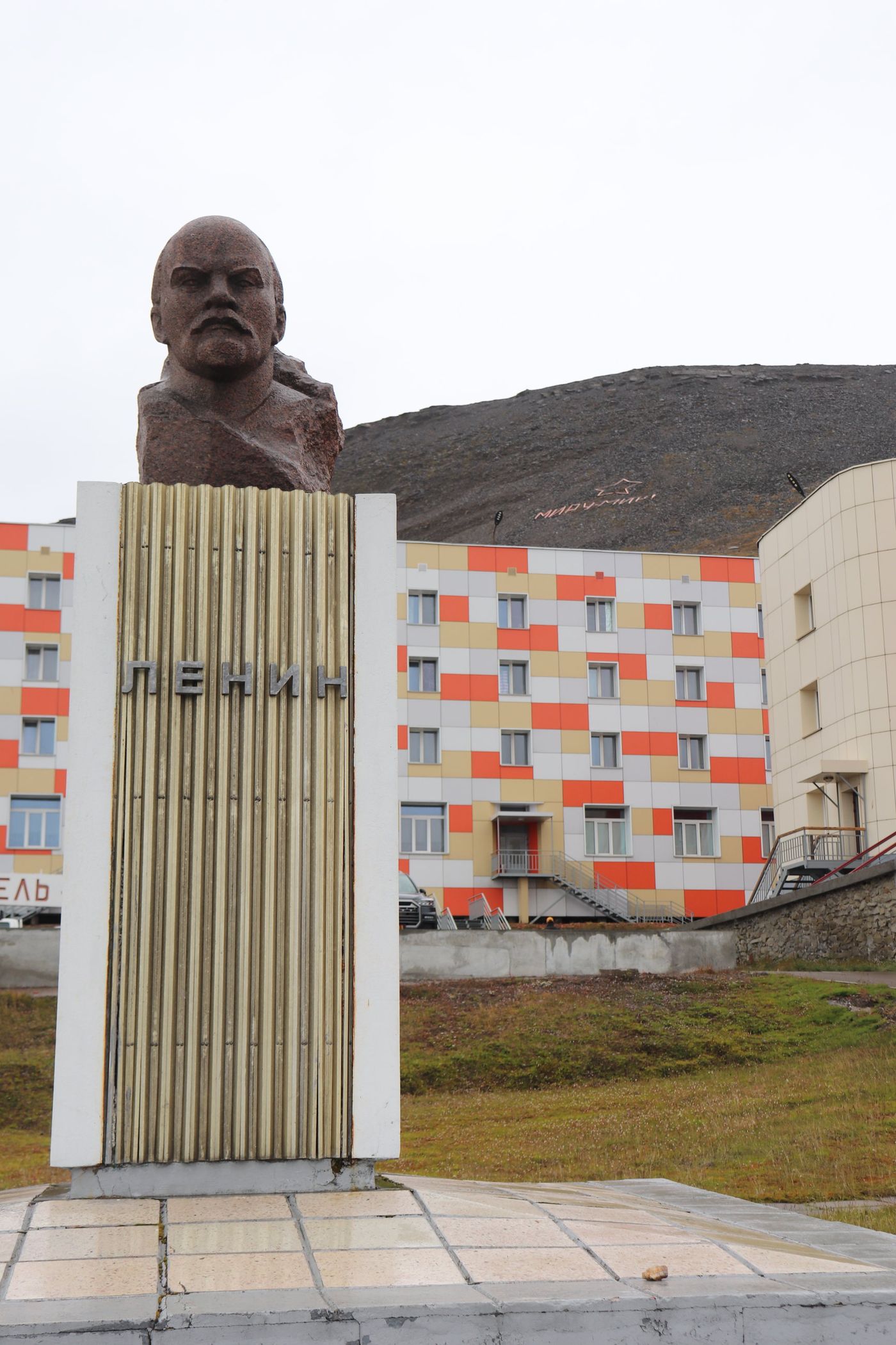
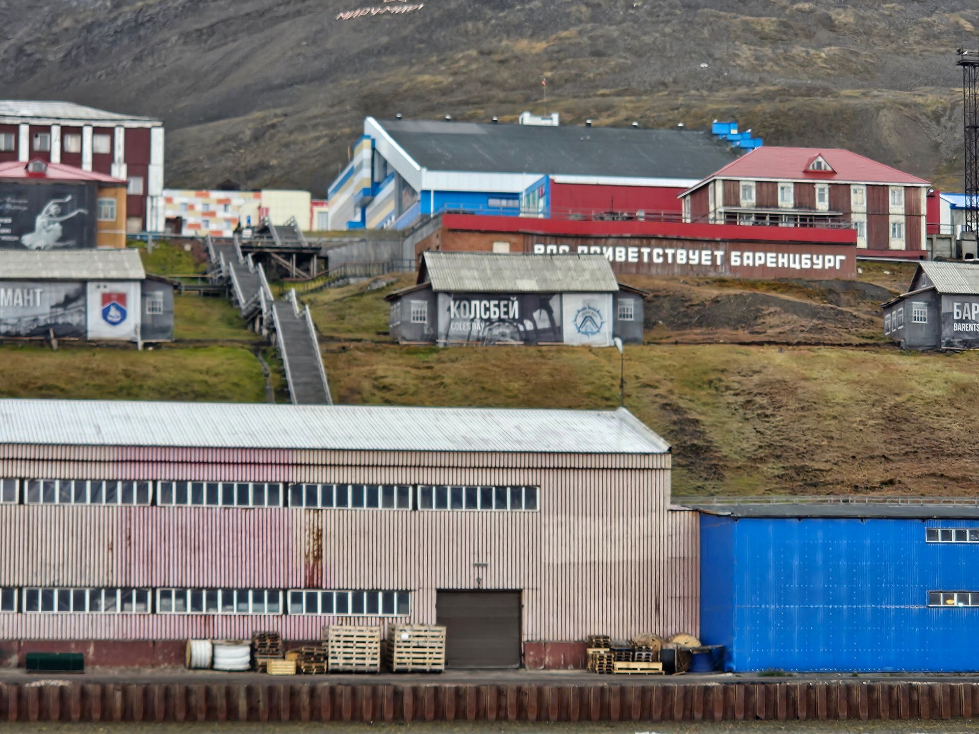
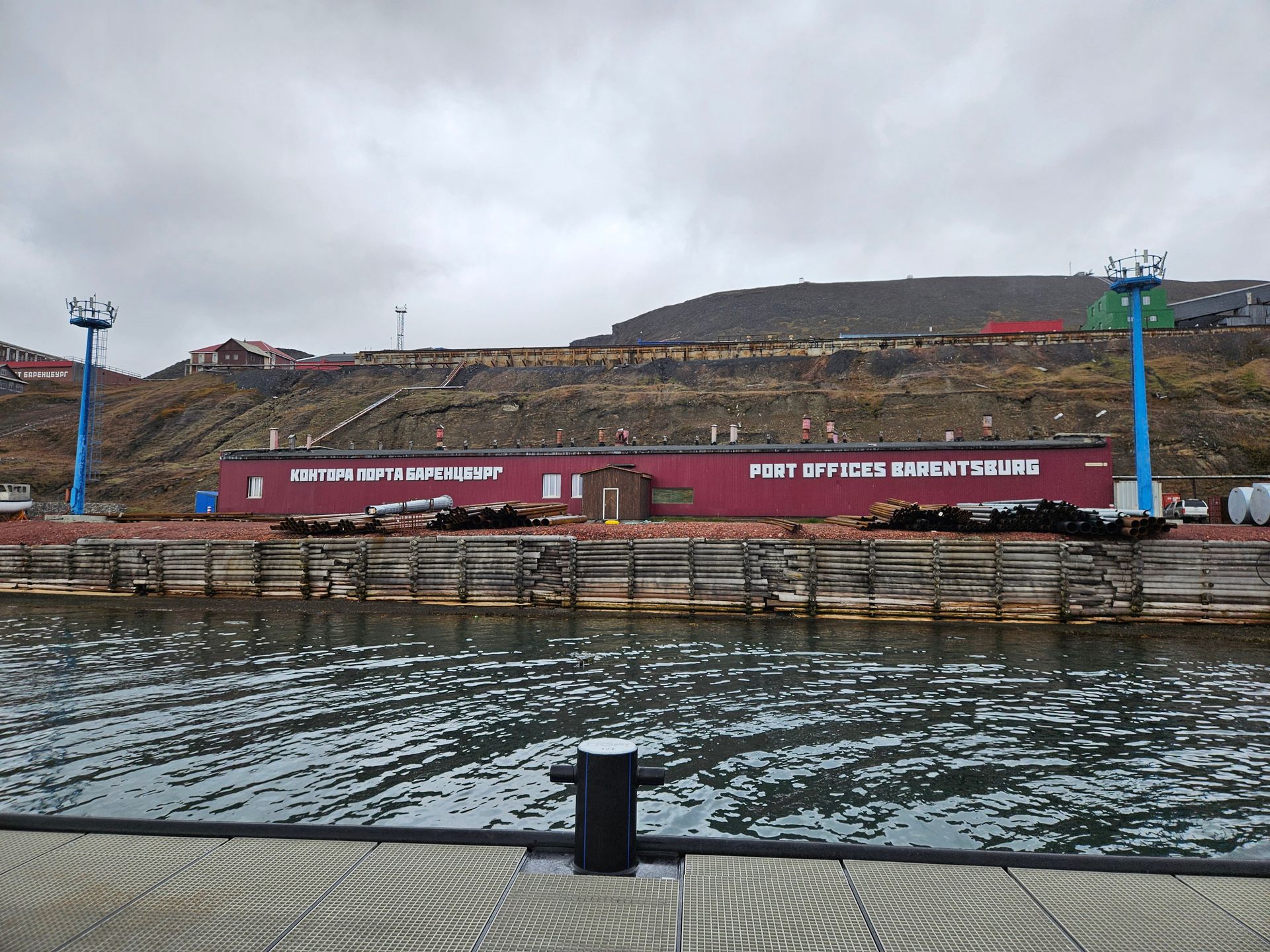
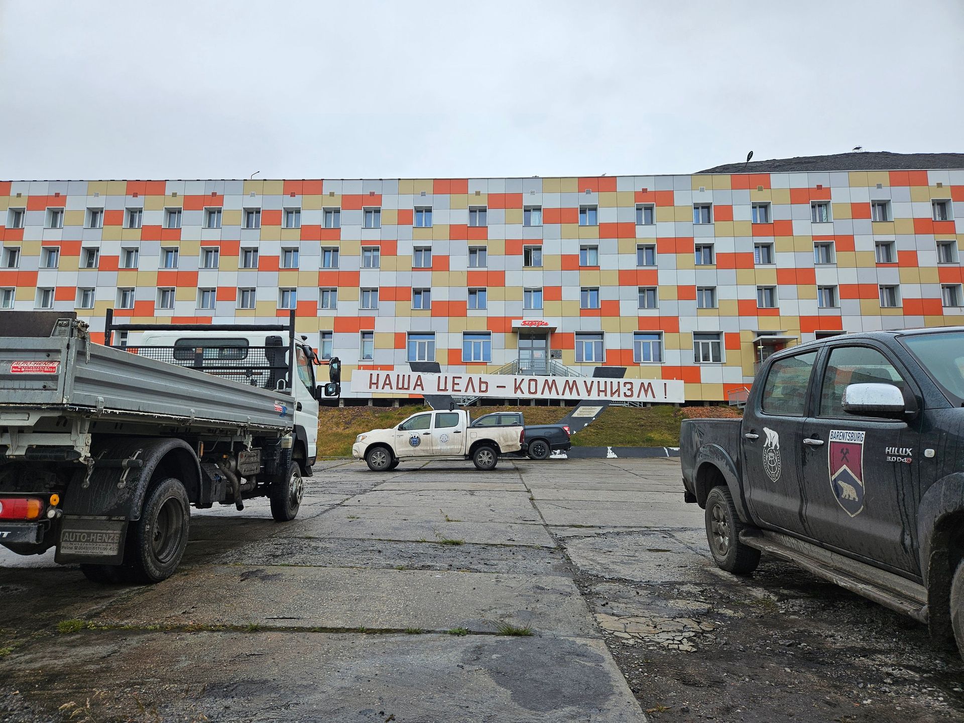
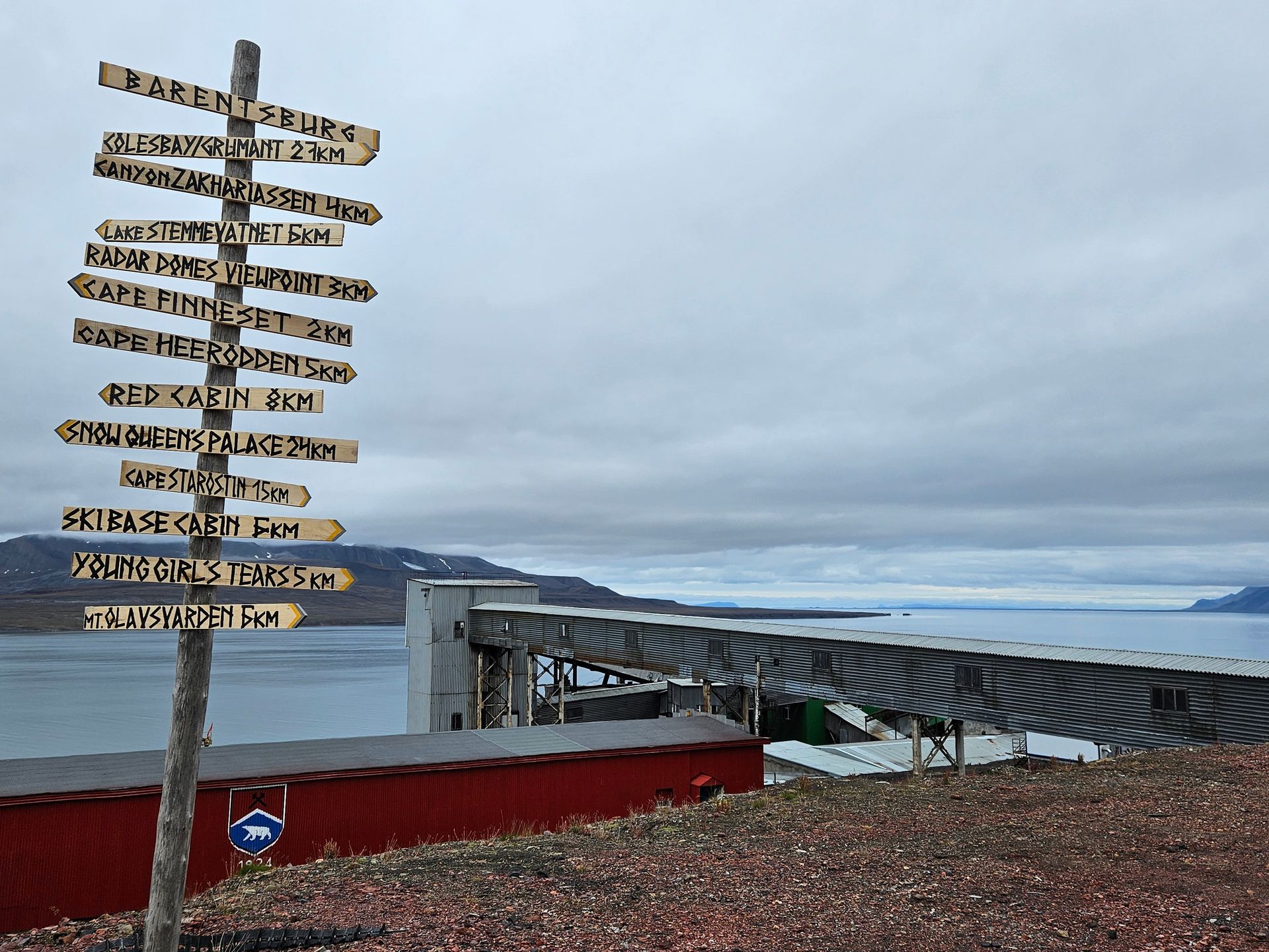
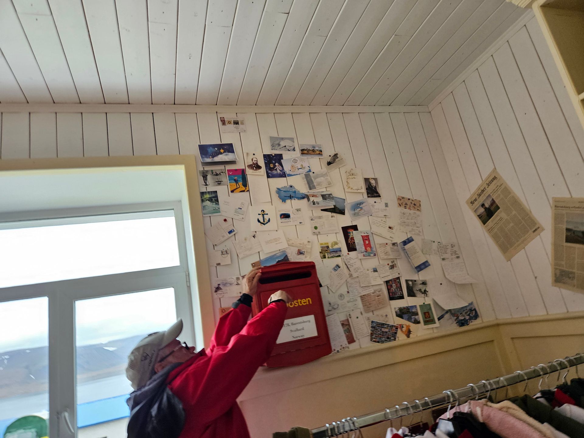
South again to Barentsburg, the Russian mining settlement dug into the flank of Grønfjorden. Soviet apartment blocks, a statue of Lenin staring down a fjord, a coal seam burning lights for a few hundred people who live several days’ sailing from anywhere. The buildings are painted in colours that fight the grey and lose. It is not a ruin — people live and work and raise children here — but the town feels like an outpost holding a line no one else remembers drawing. The mountains behind it are enormous and featureless, and the town at their feet is the size of a thought.
Pyramiden: The City That Stopped
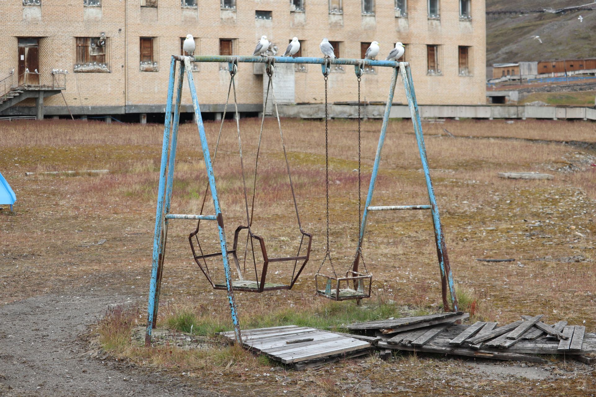
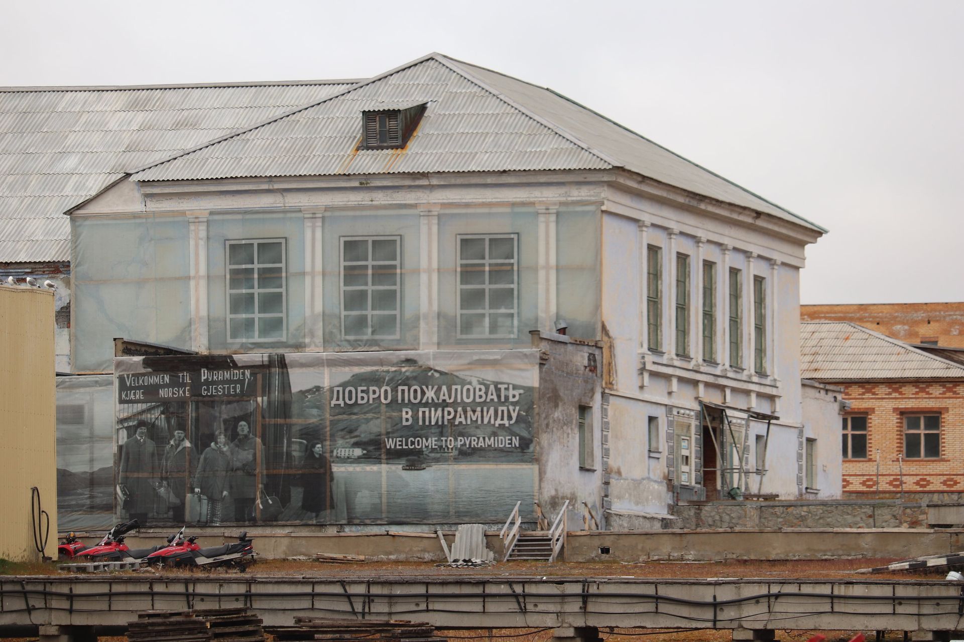
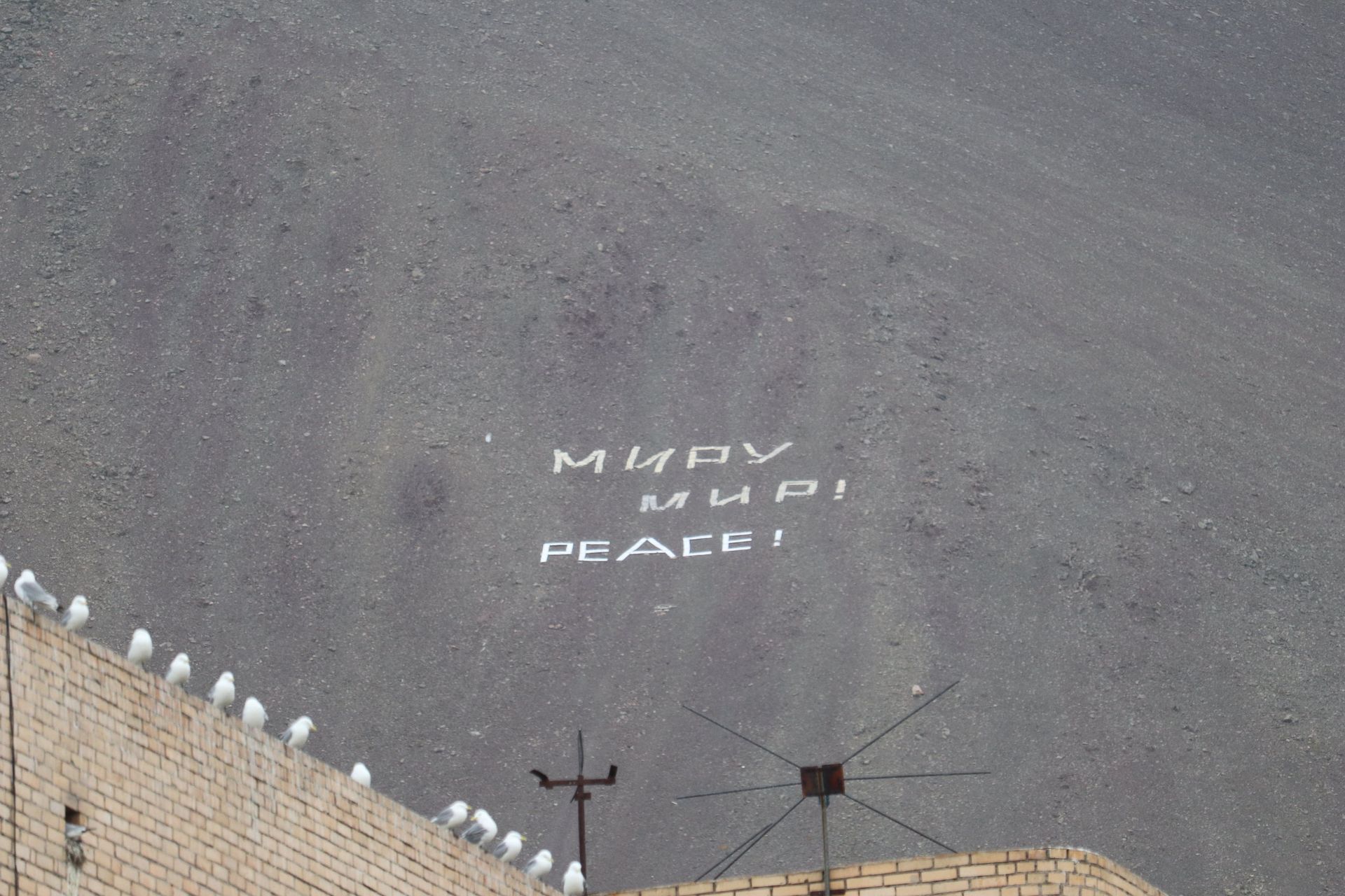
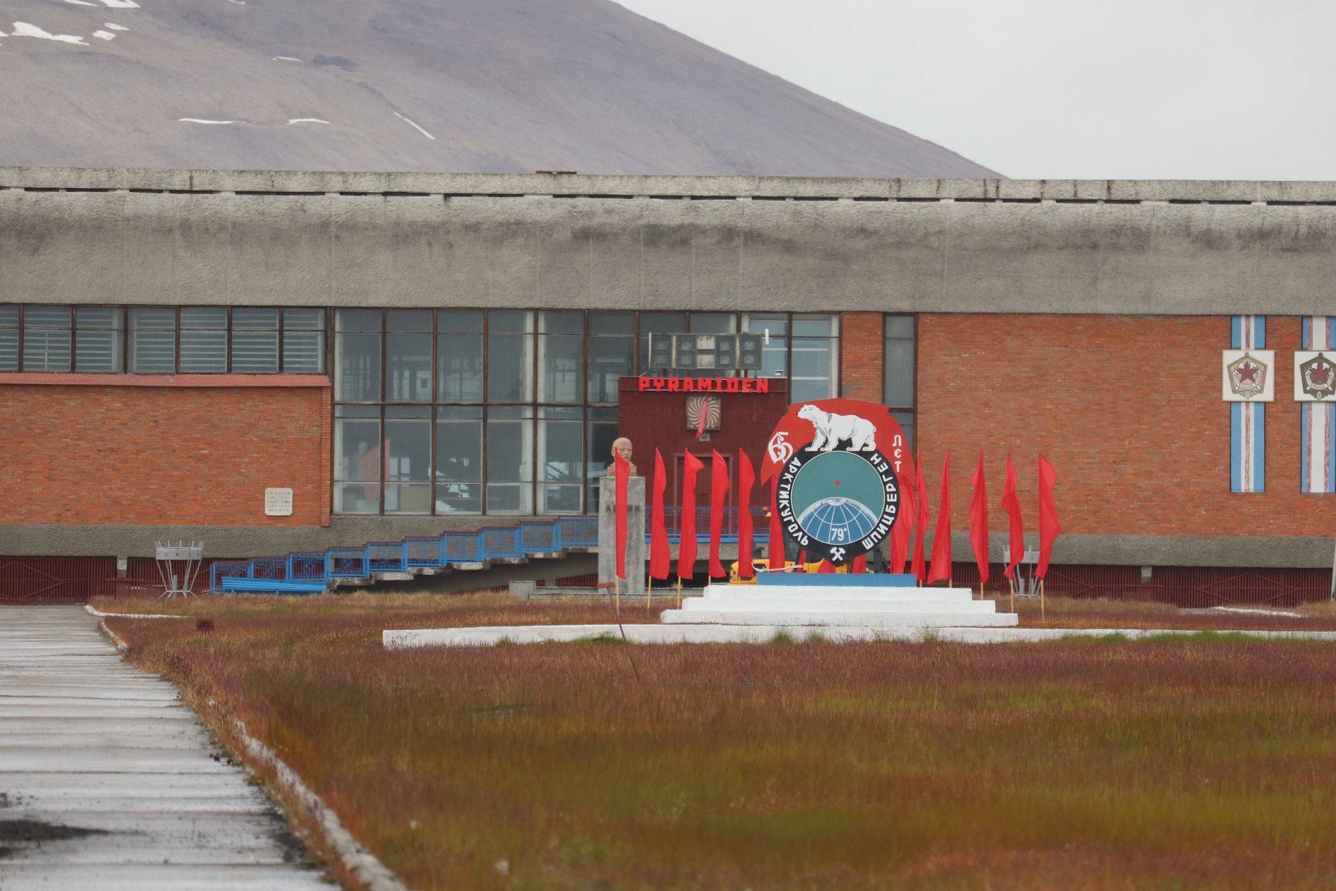
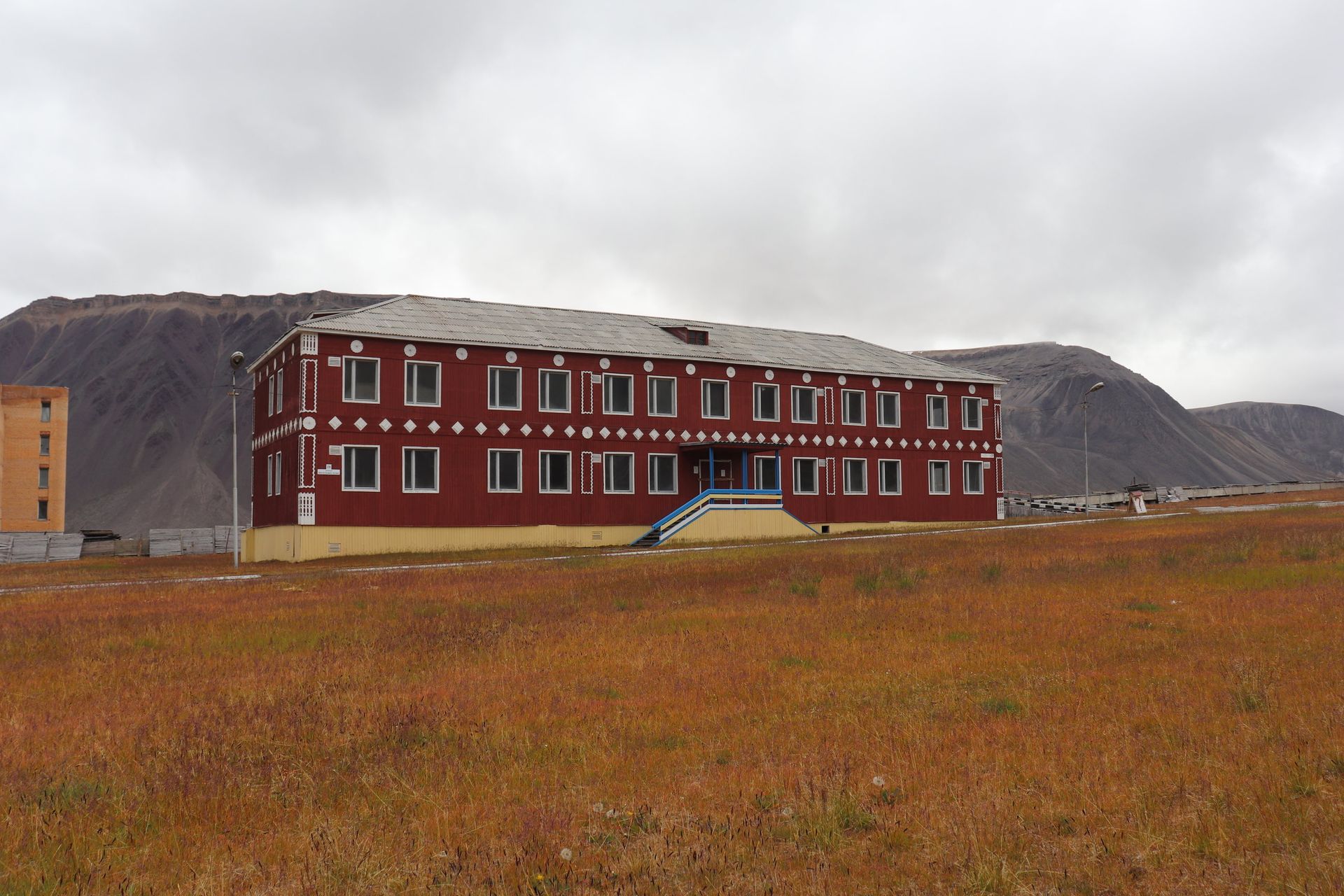
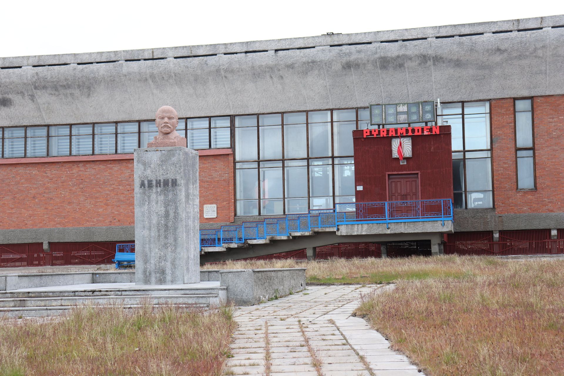
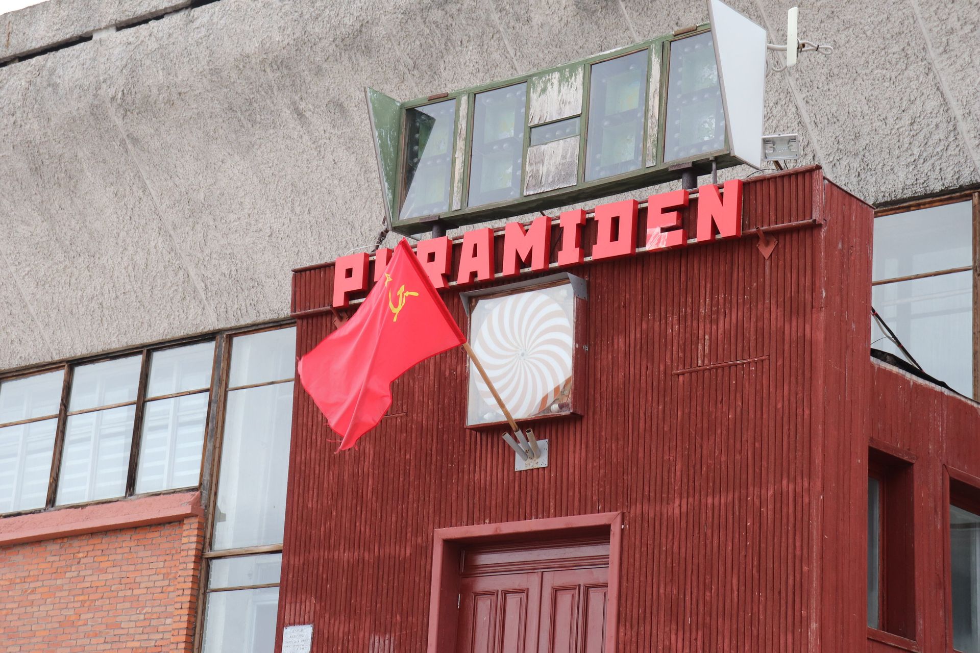
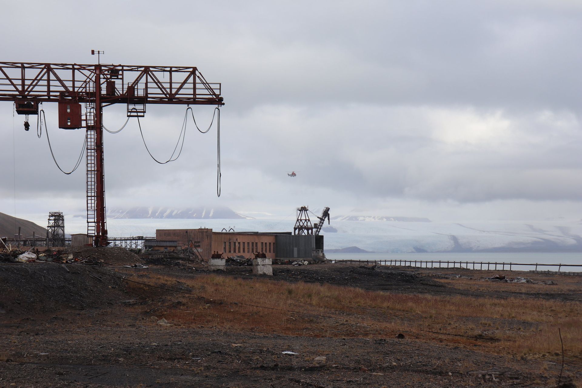
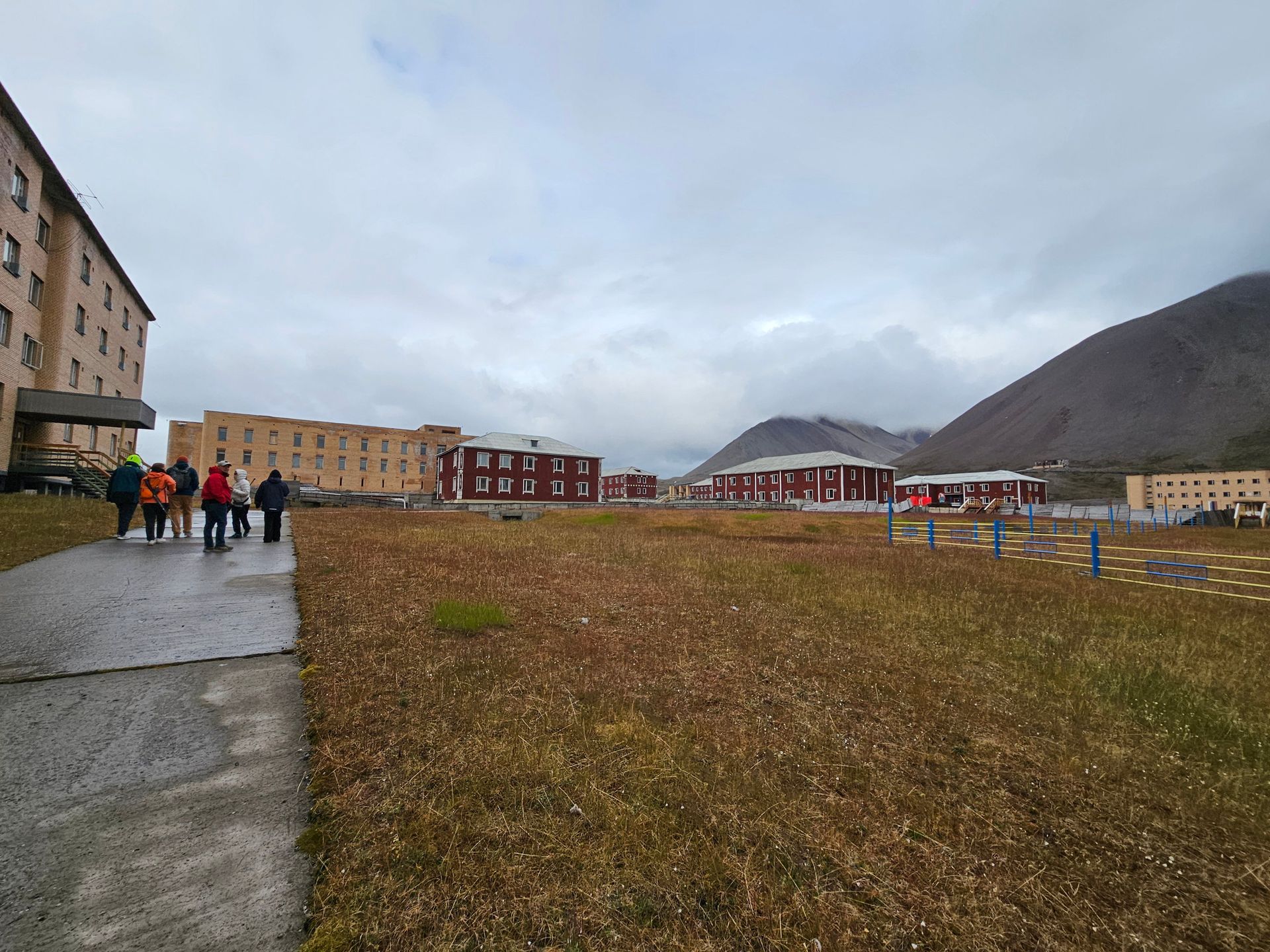
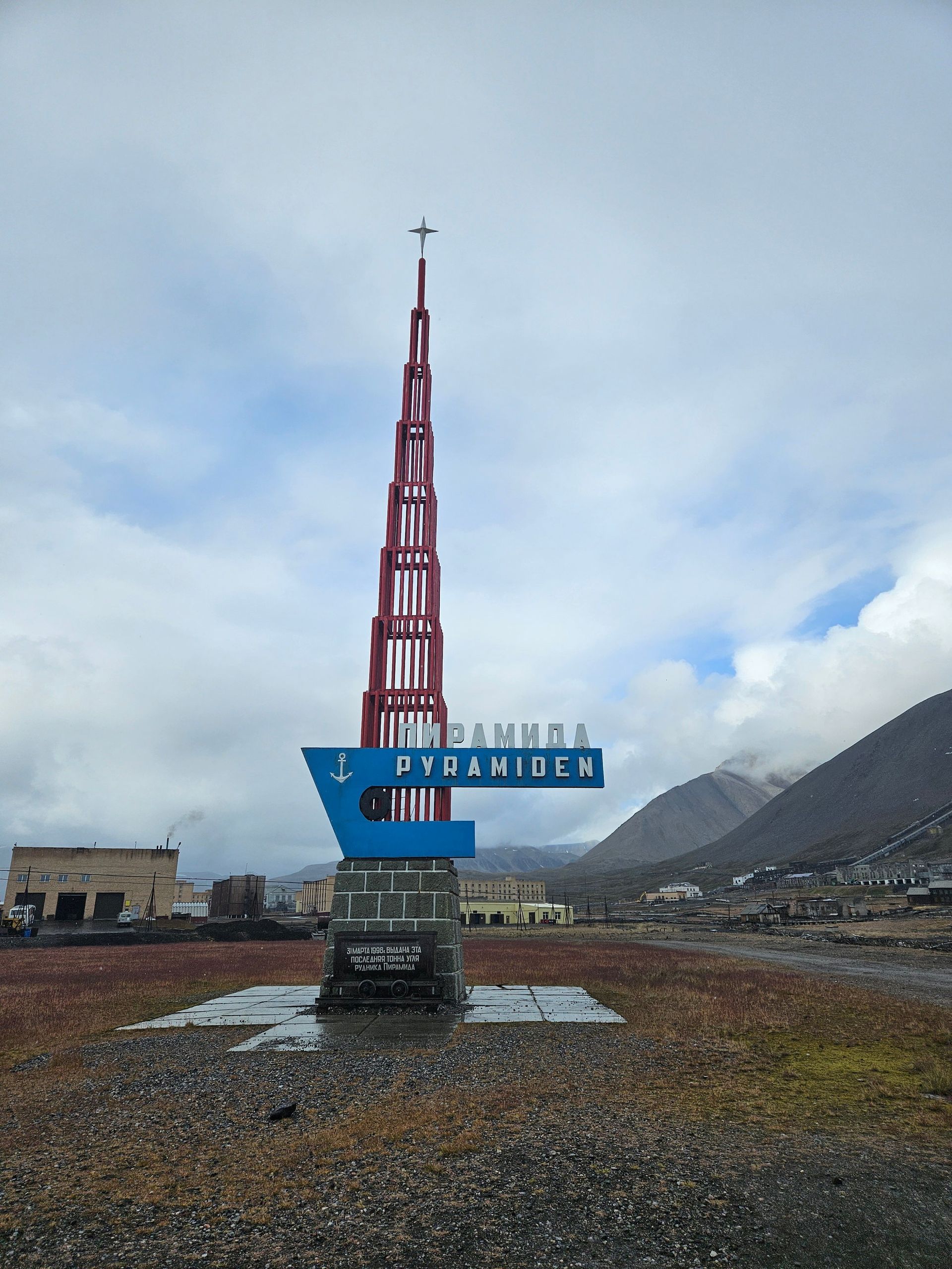
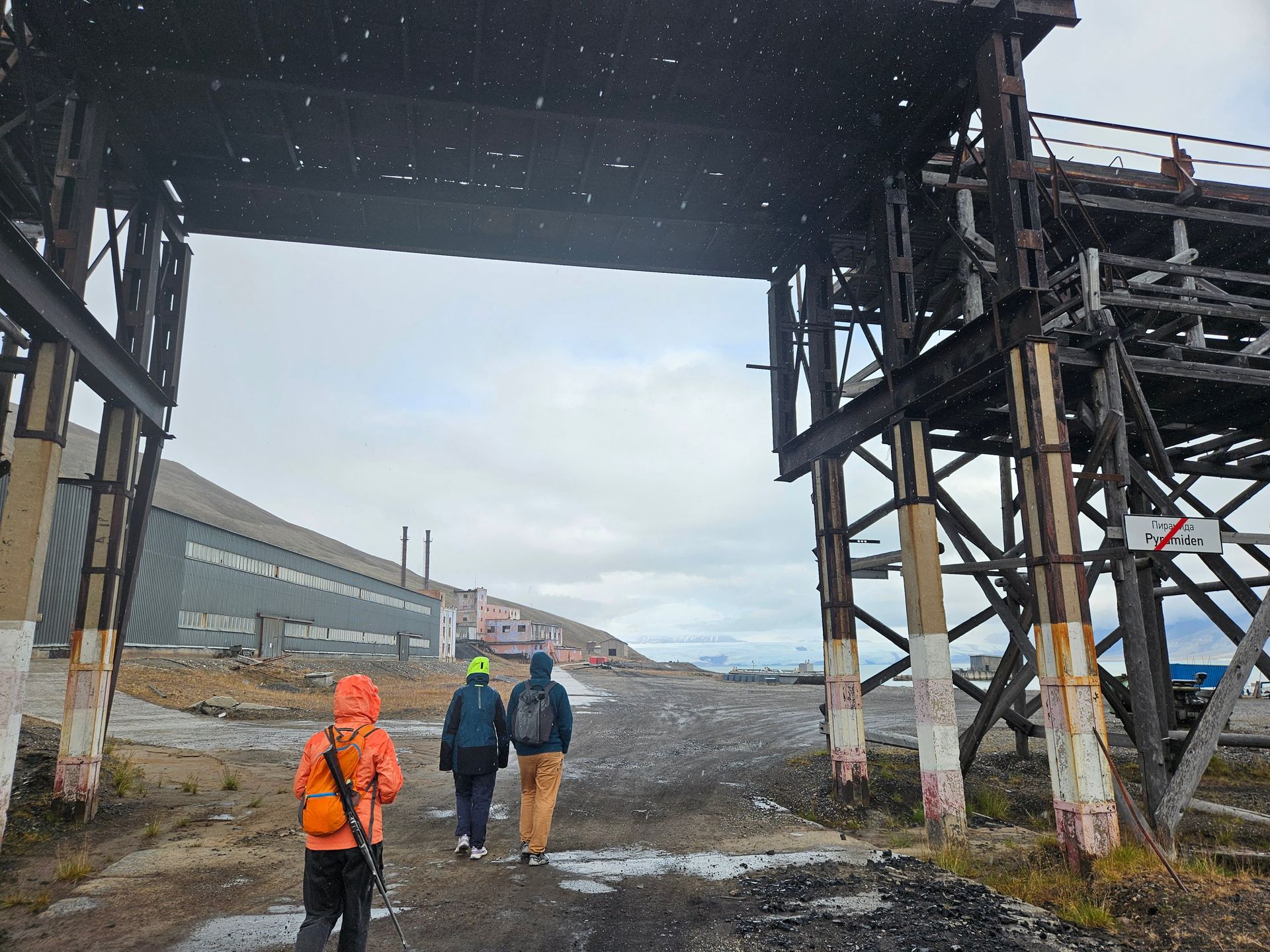
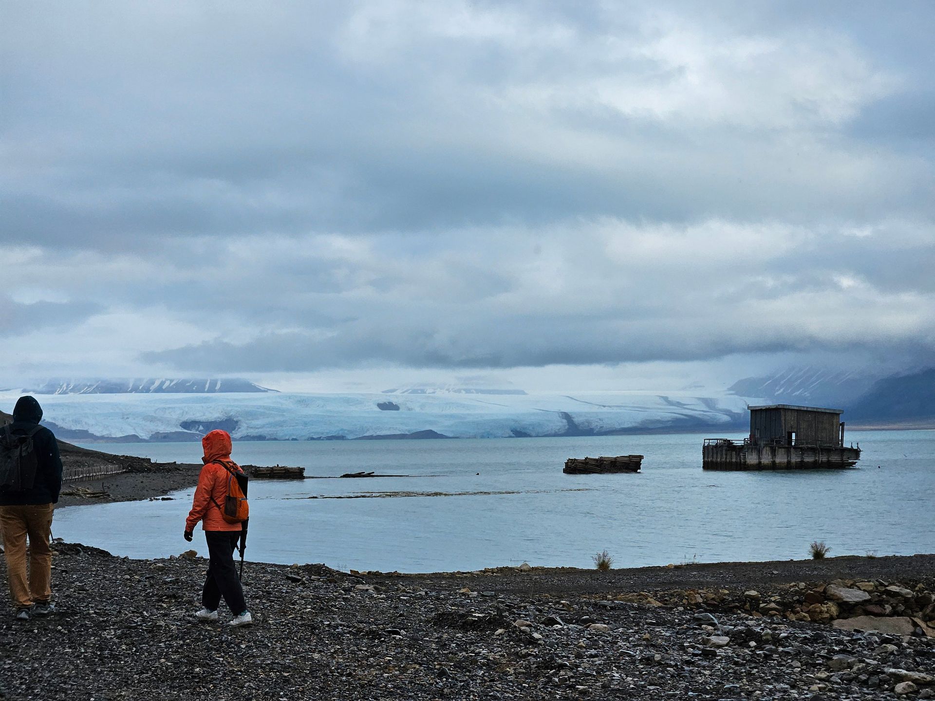
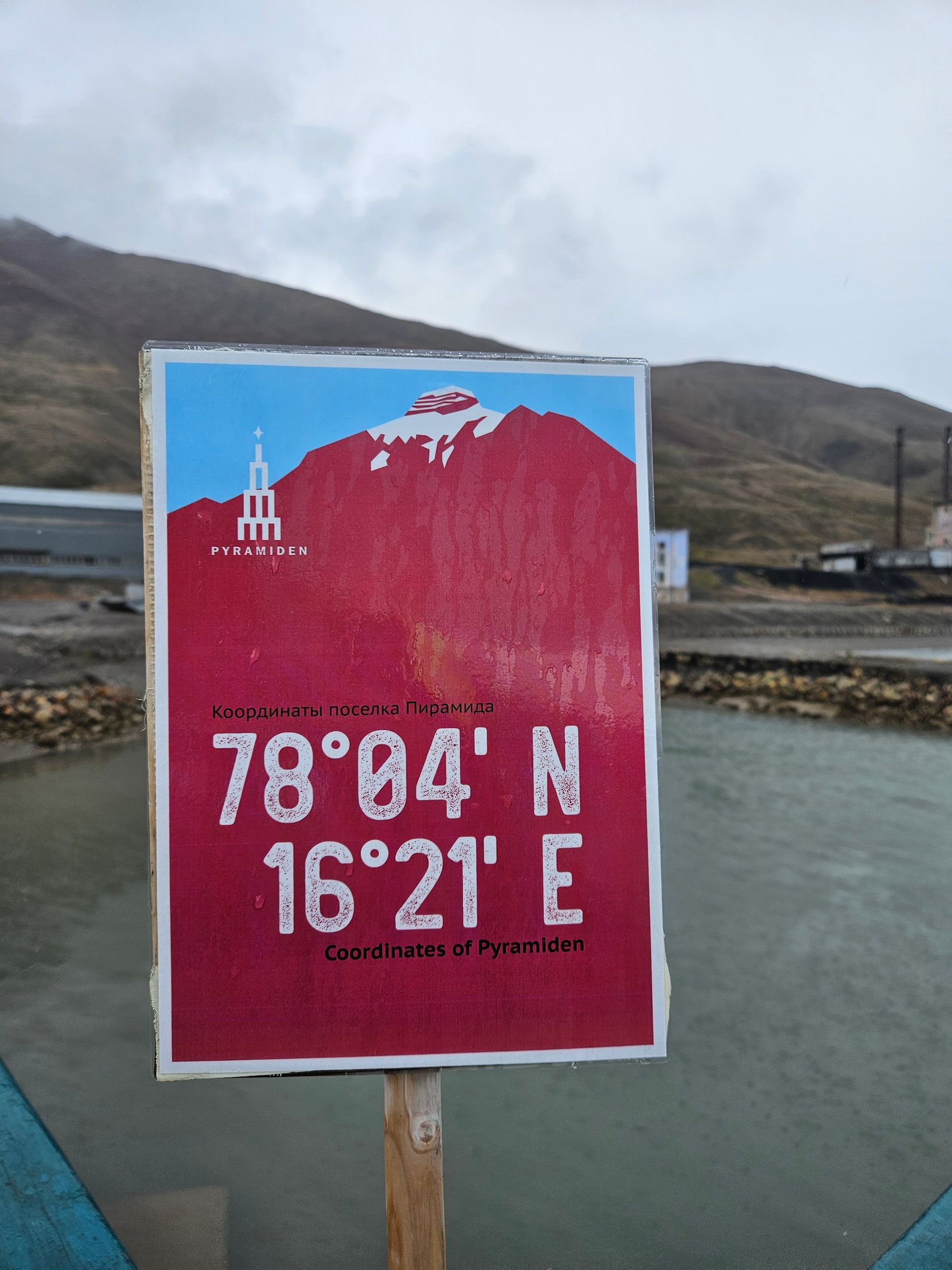
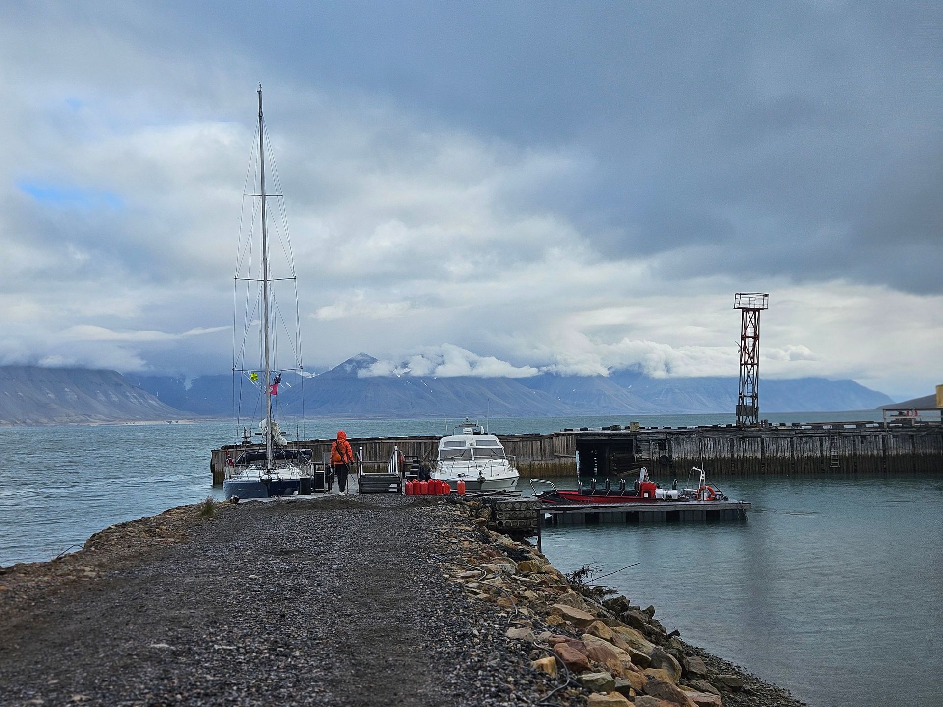
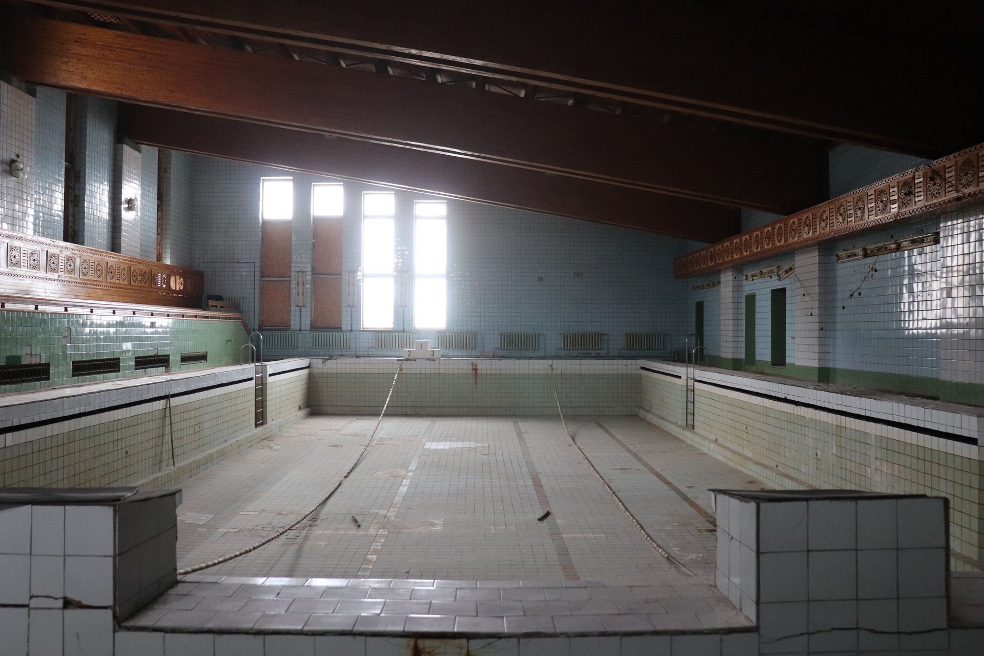
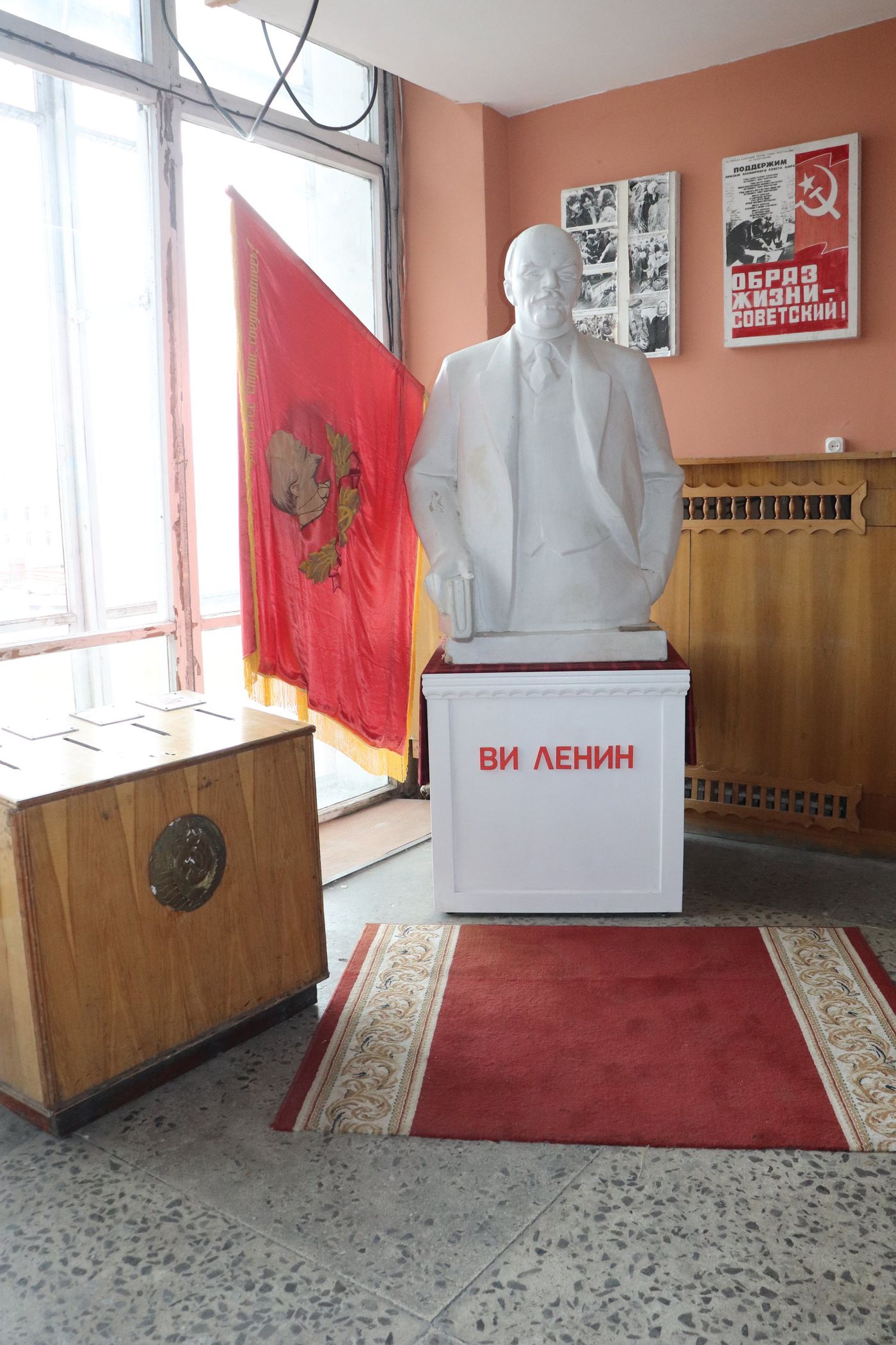
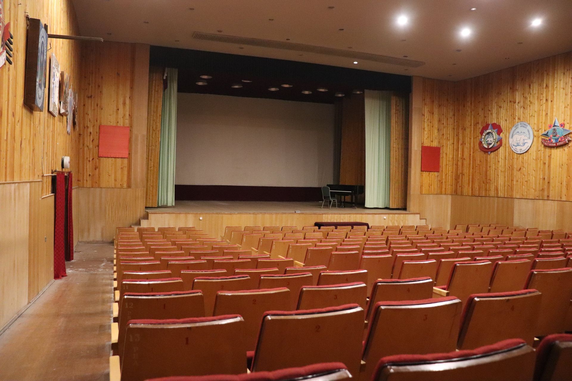
Then, at the head of Billefjorden, under the pyramid-shaped mountain that named it — Pyramiden. Forty-seven miles of fjord sailing brought us to the strangest harbour of the voyage: a whole Soviet city, built to be permanent, abandoned in a single season in 1998. The northernmost grand piano on Earth still stands in its cultural palace. The northernmost swimming pool is empty and blue-tiled and silent. Apartment blocks stand in parade formation with every window dark. A bust of Lenin still faces the glacier across the water, waiting for a shift change that is twenty-seven years late.
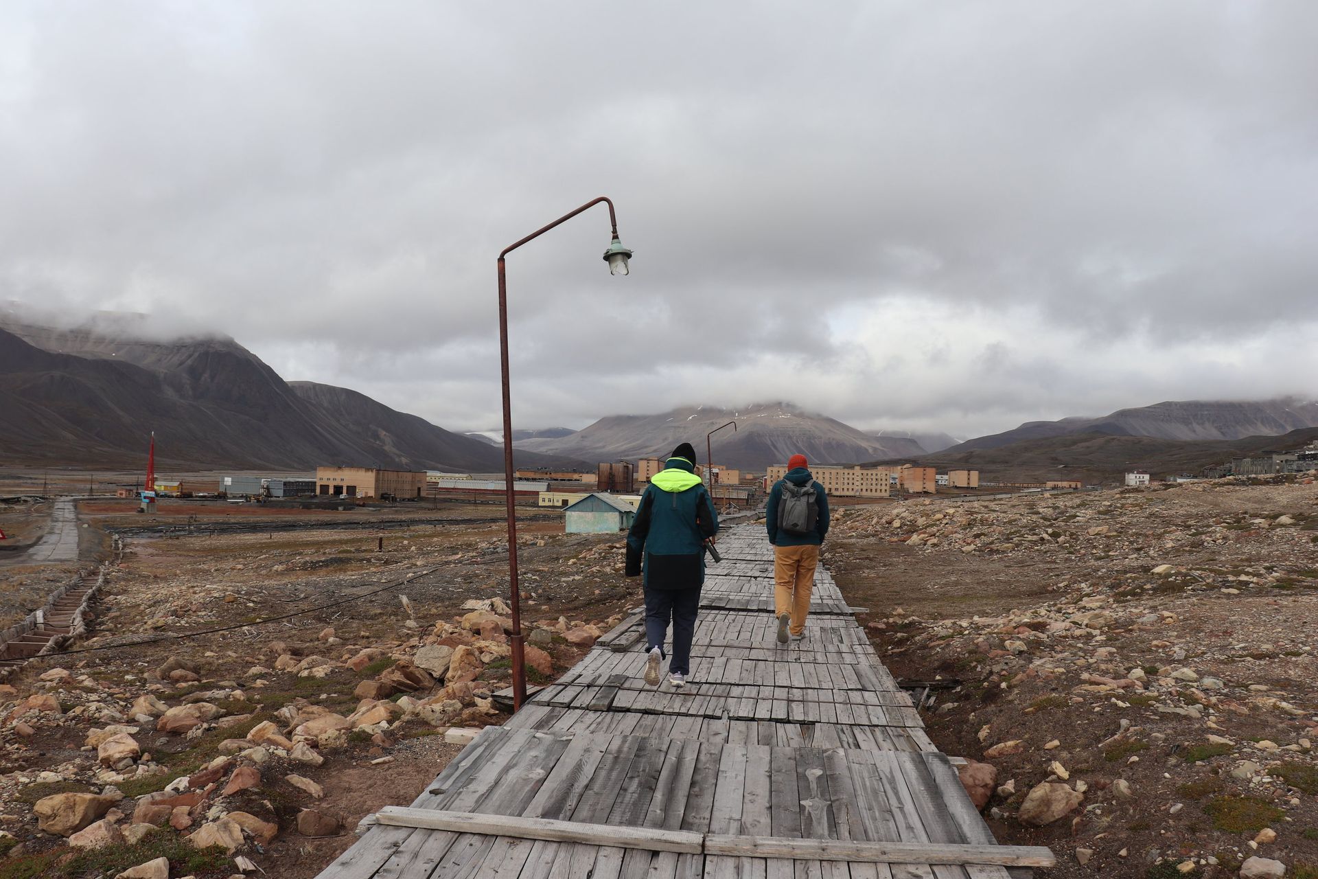
Walking its streets is like trespassing in a museum where the exhibit is absence itself. Grass the Soviets shipped in from Ukraine still grows in the central square — a lawn at 78 degrees north, tended now by no one, outliving the country that planted it. The town was built for a thousand people and holds none, and the silence has a weight you can feel in your chest. Everything human here is over, and everything else — the mountain, the glacier, the fjord — has simply resumed.
Bjørnøya: Three Hours at the Loneliest Anchor
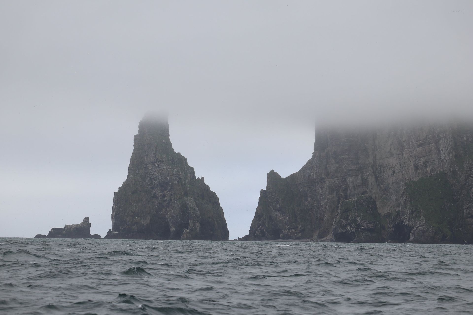
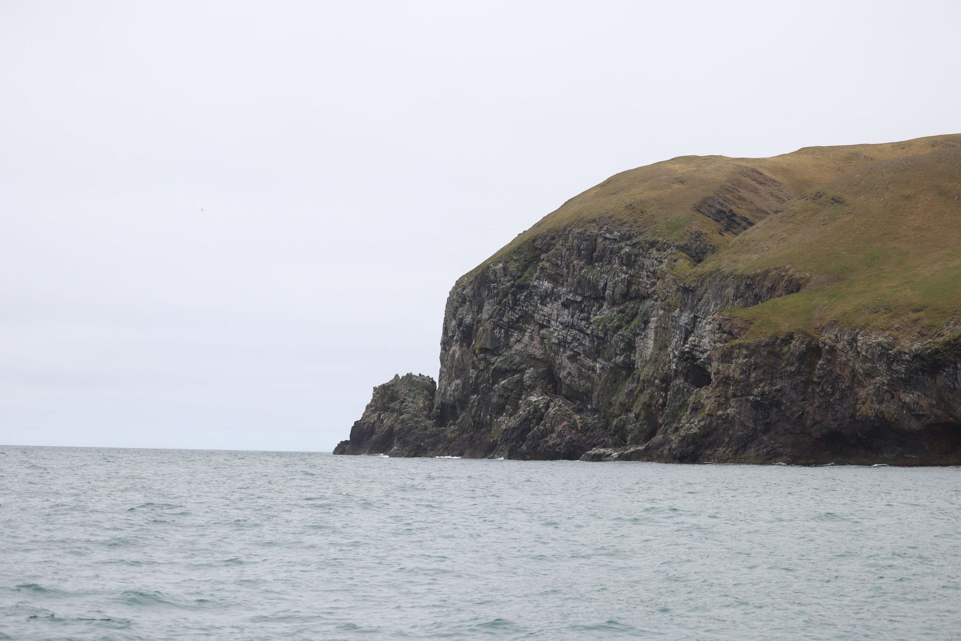
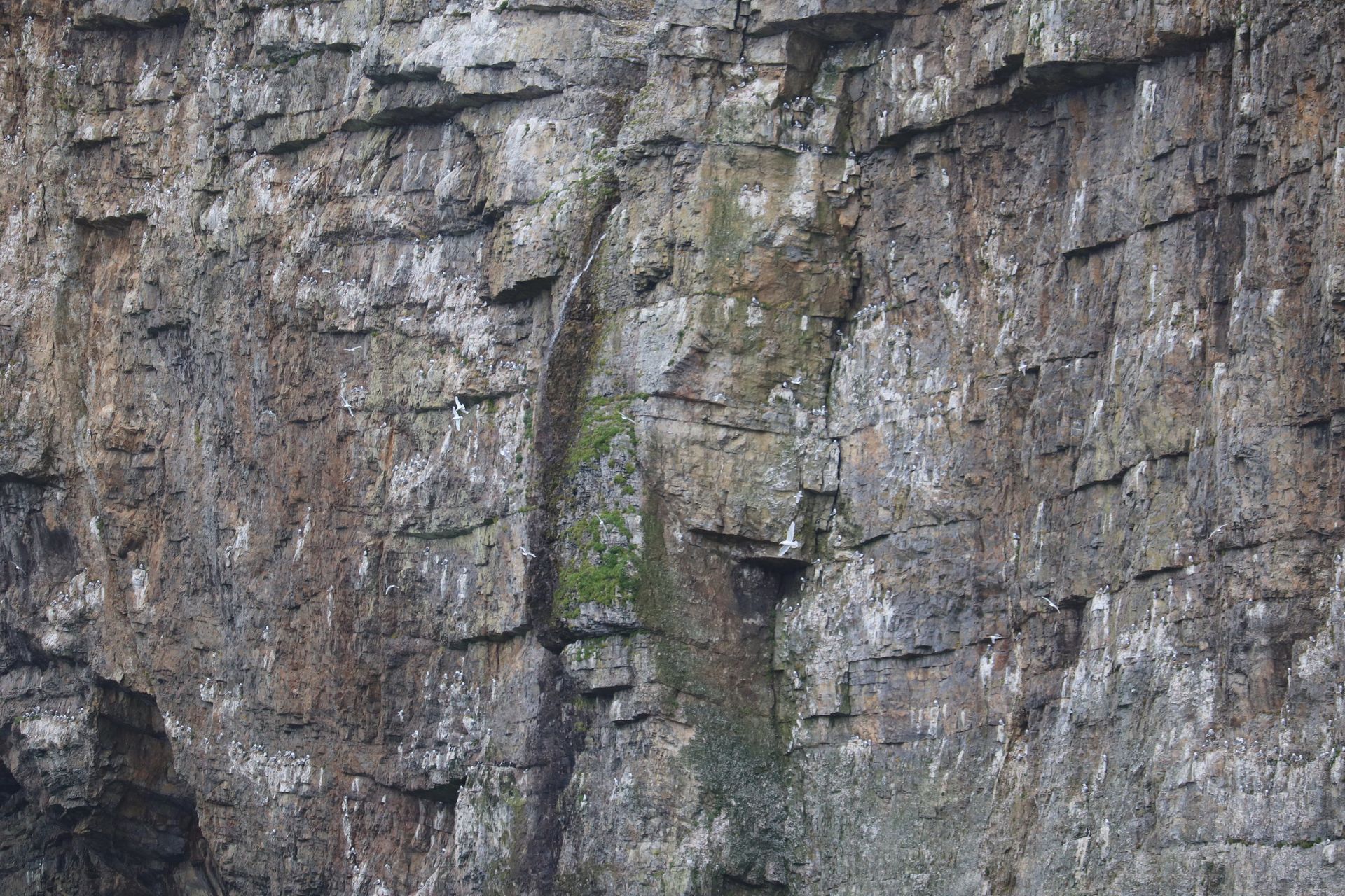
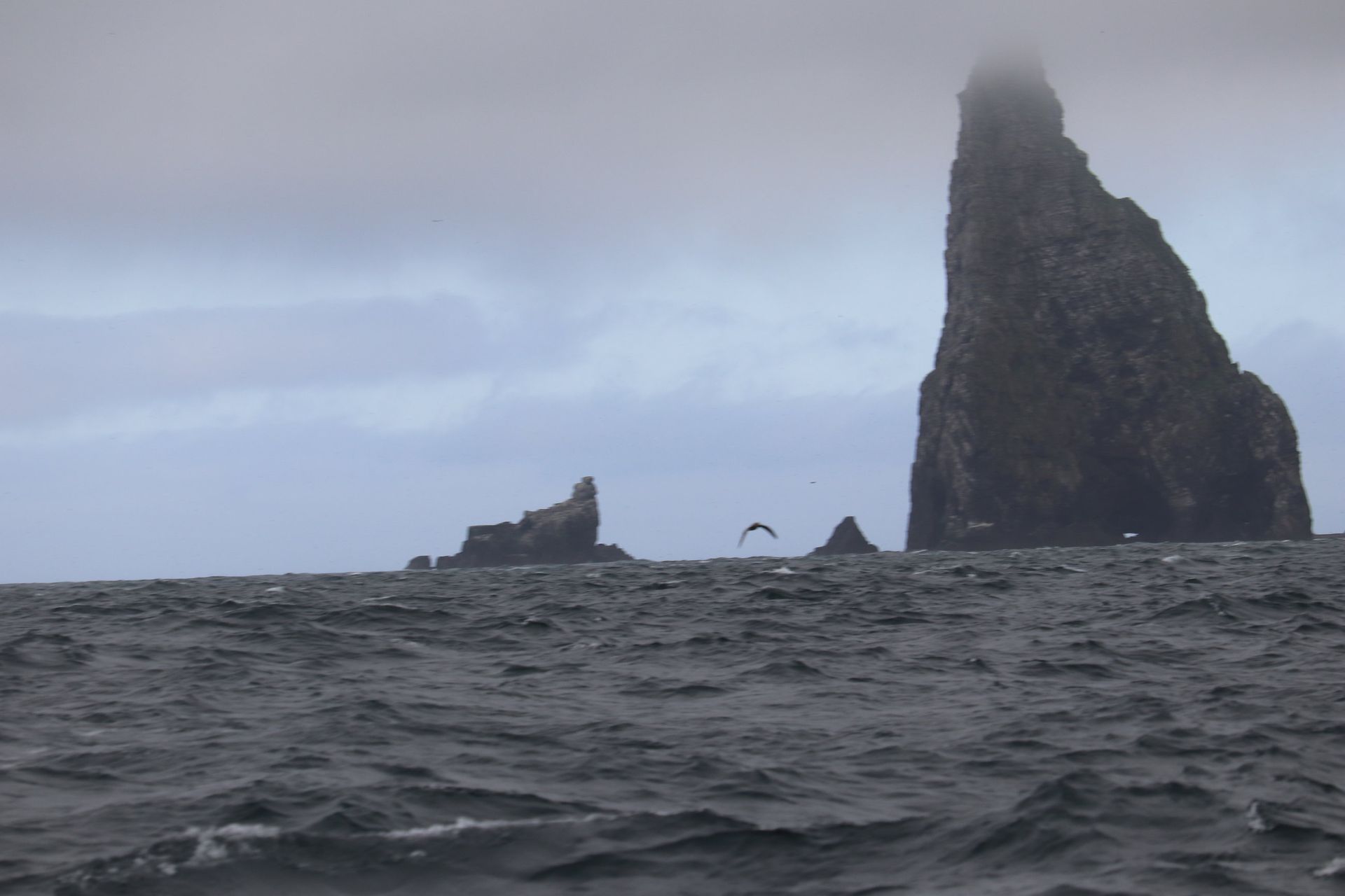
On 23 July we cleared Isfjorden for the last time and turned the bow at Norway — 583 miles away across the open Barents Sea. Halfway lies Bjørnøya, Bear Island: a fist of rock and fog in the exact middle of nowhere, population nine, all of them meteorologists. We swung at anchor there for three hours, long enough to feel how alone a place can be. Cliffs full of seabirds, no harbour, no trees, no shelter worth the name — an island that exists mainly so the weather has somewhere to be measured.
The Long South
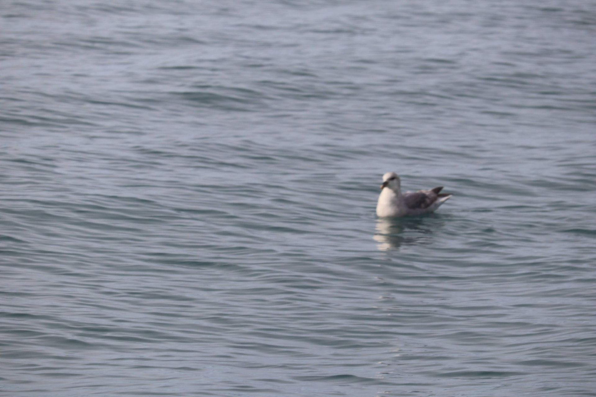
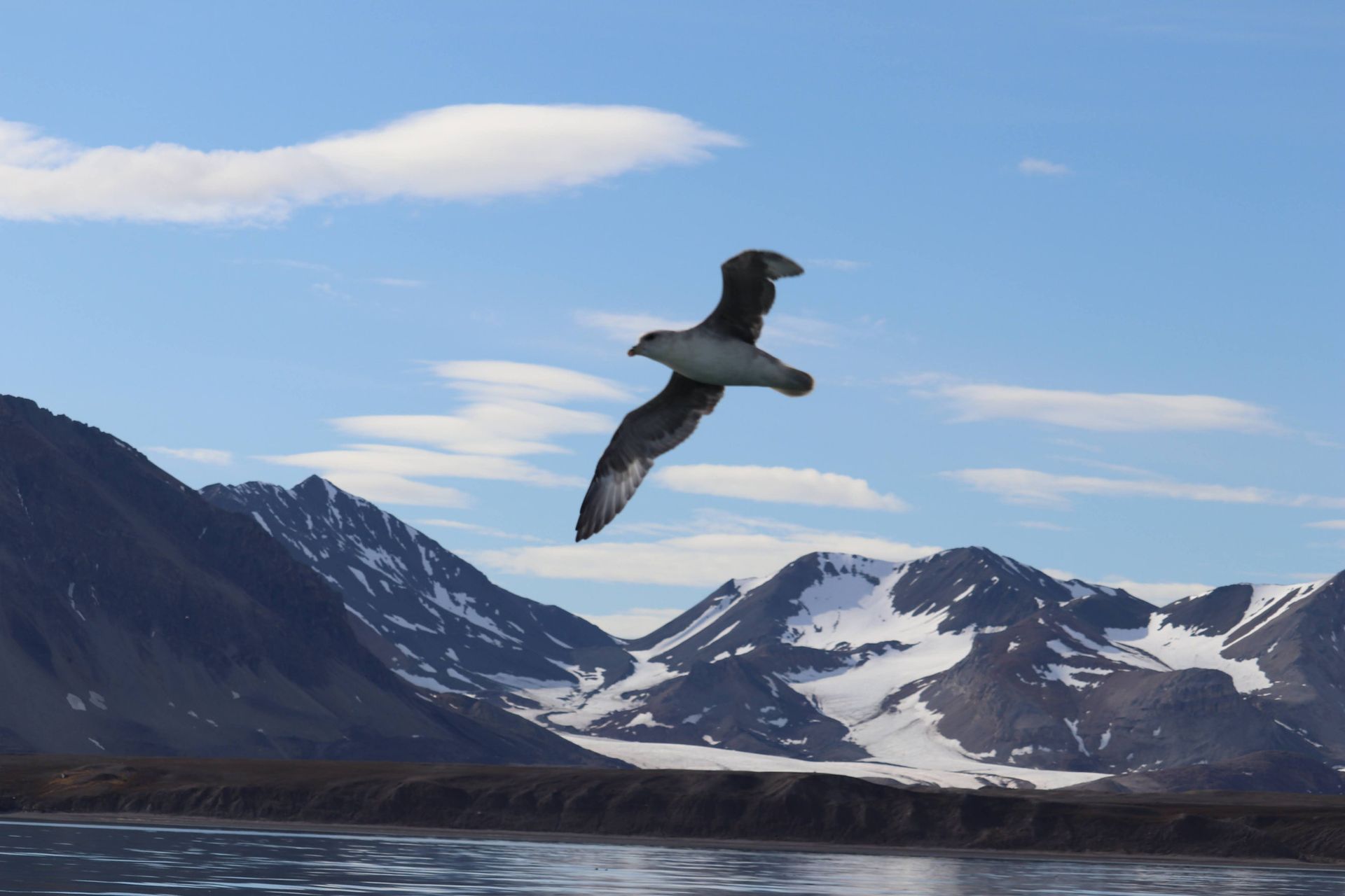
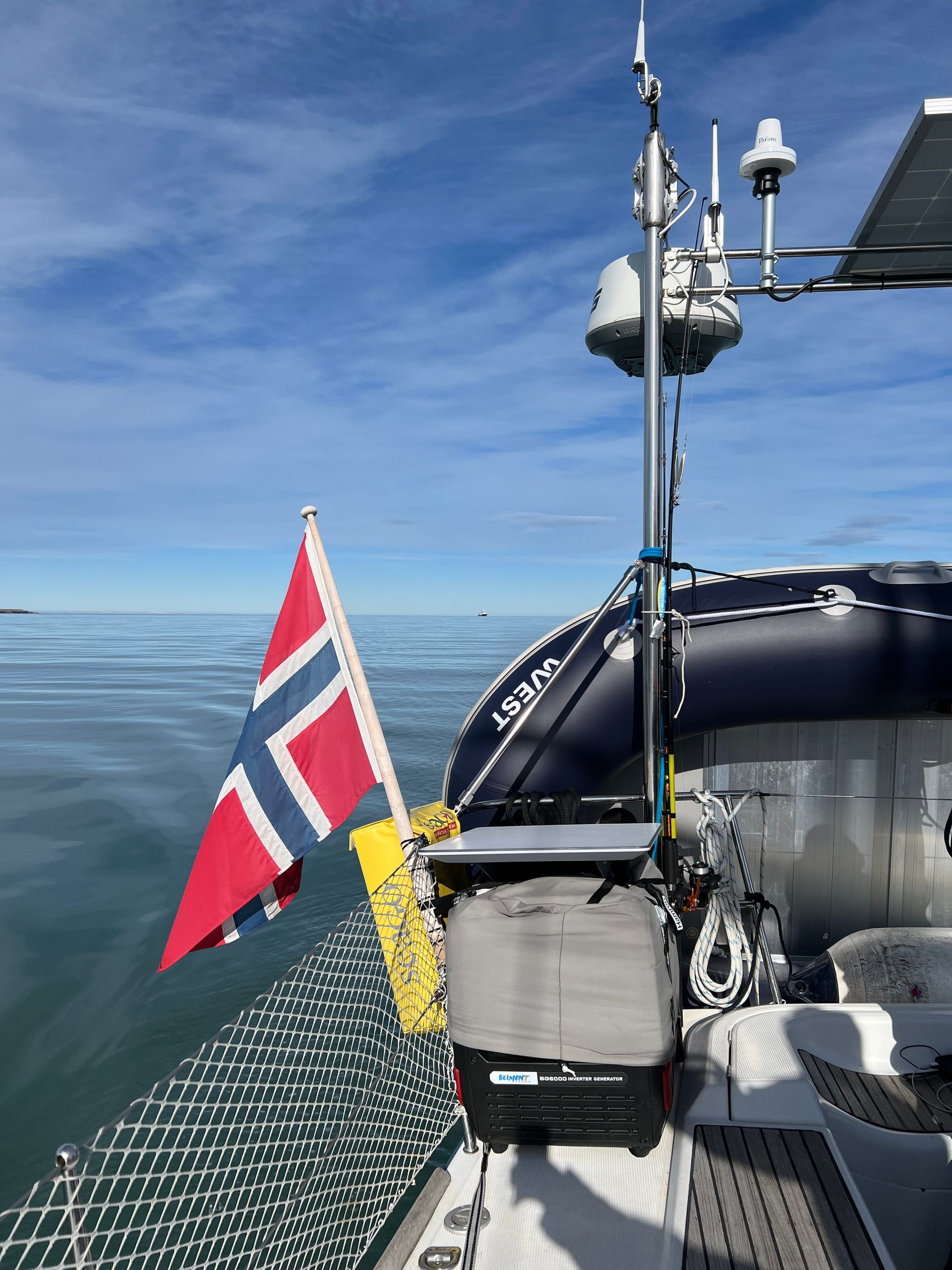
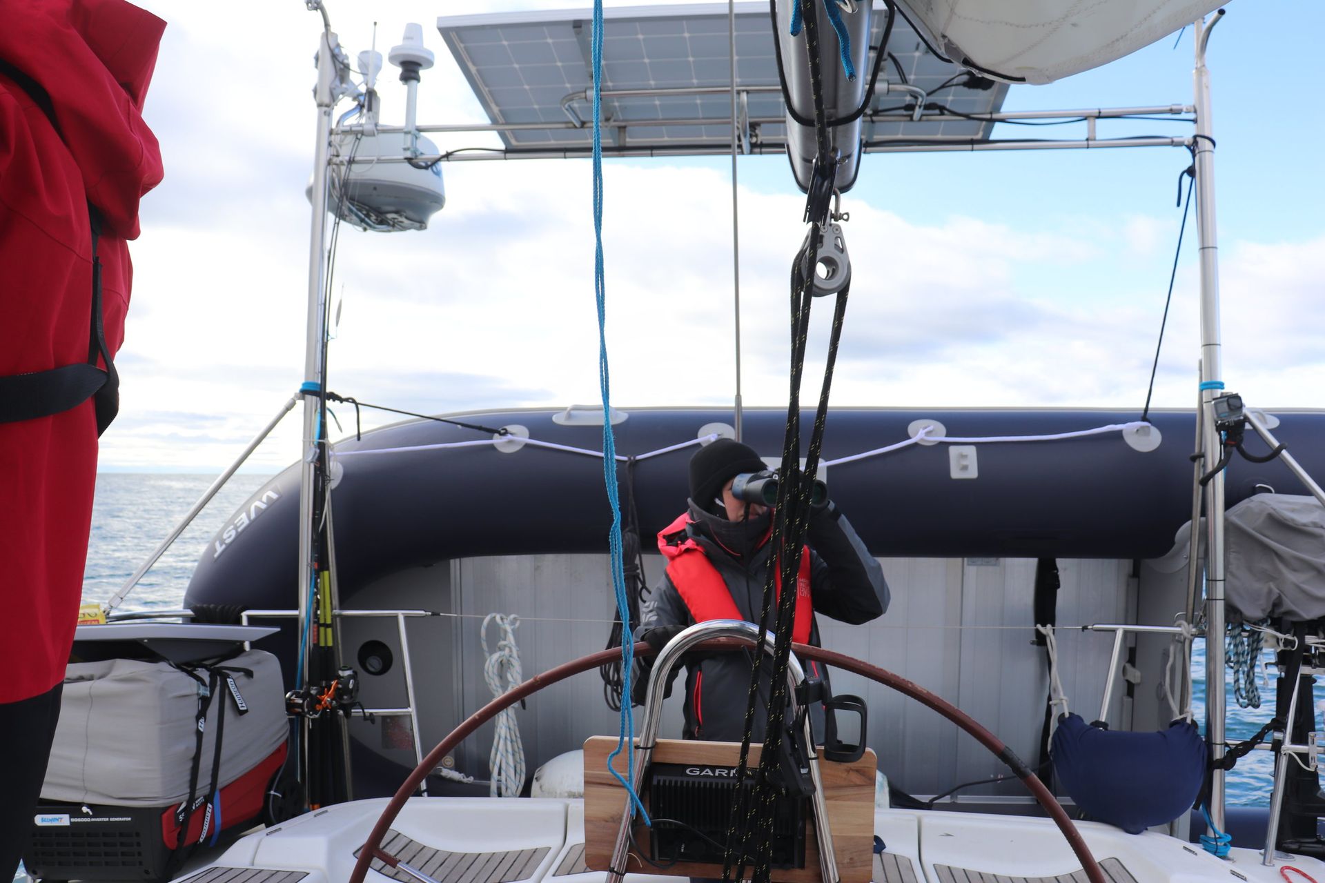
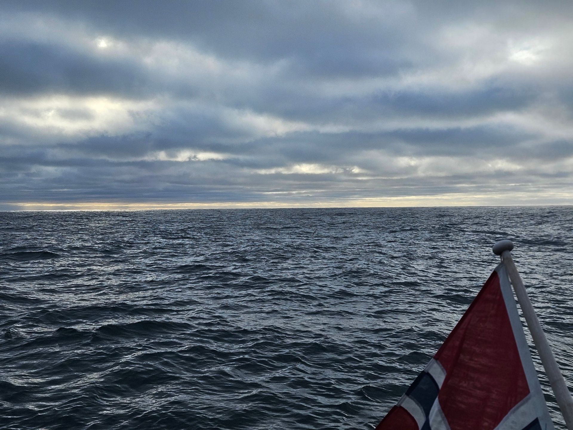
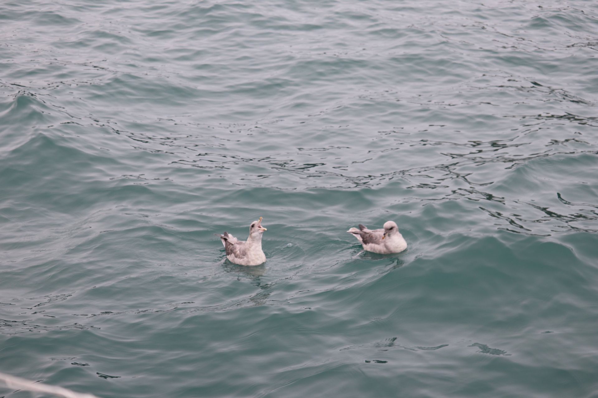
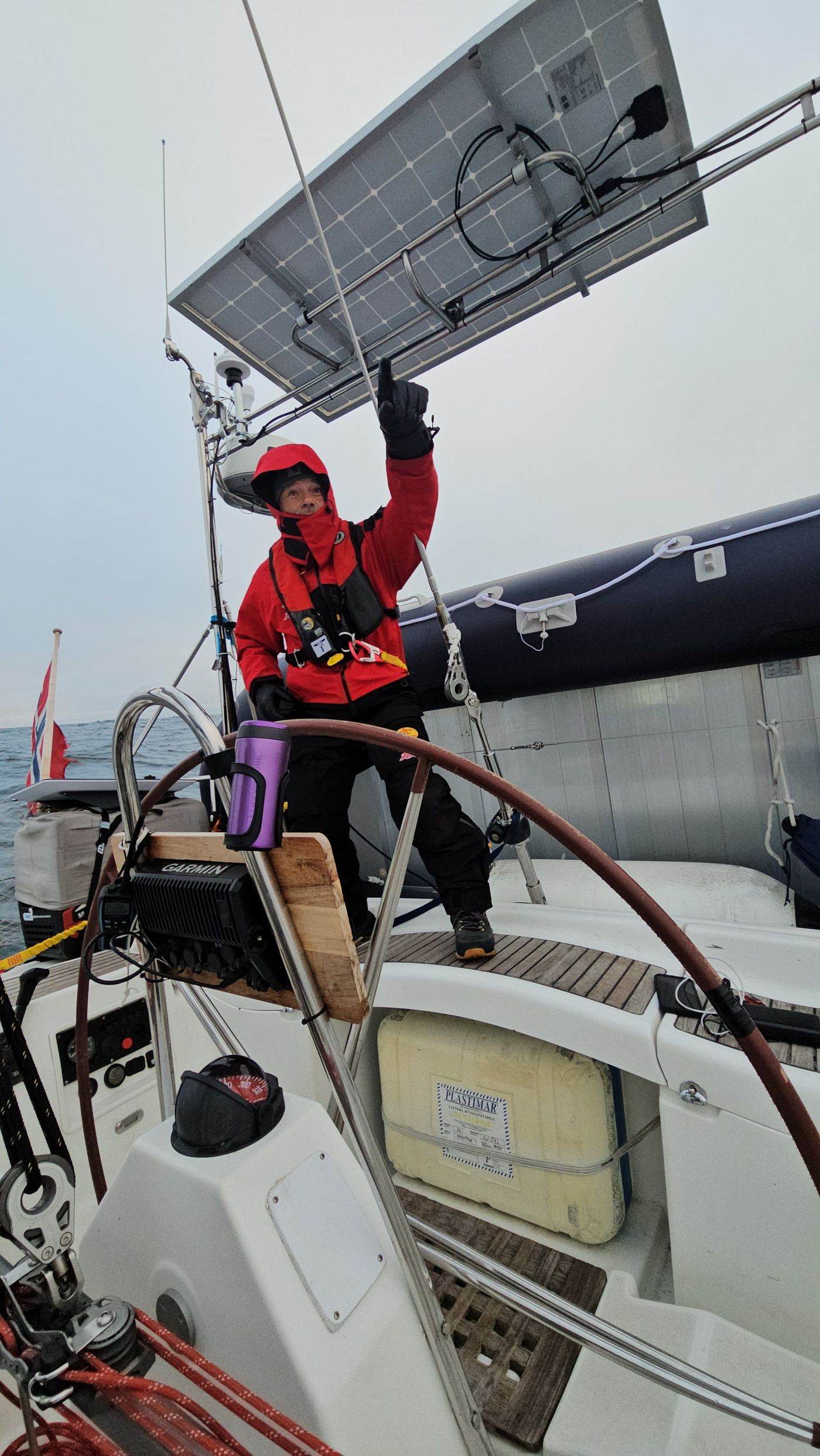
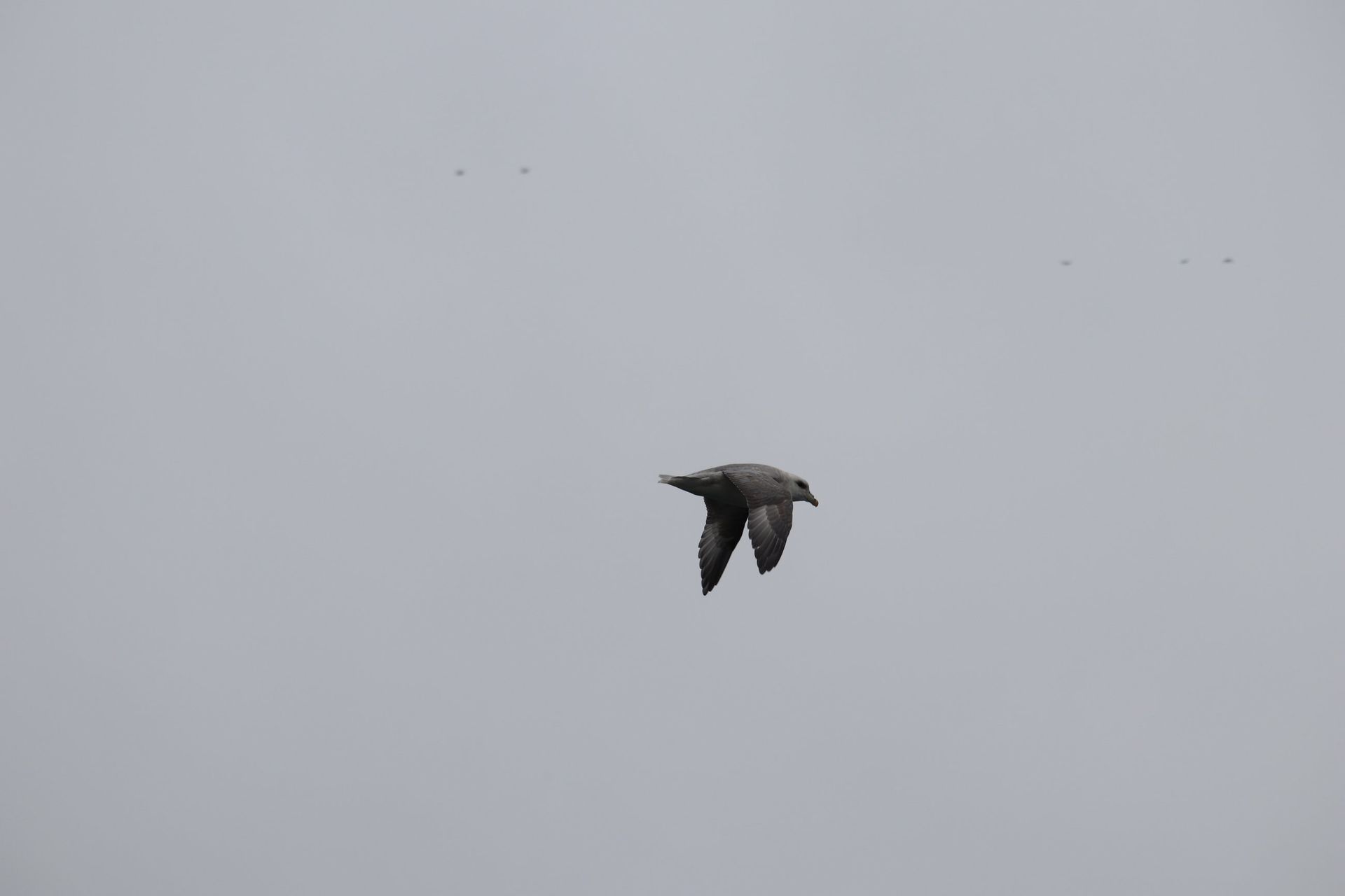
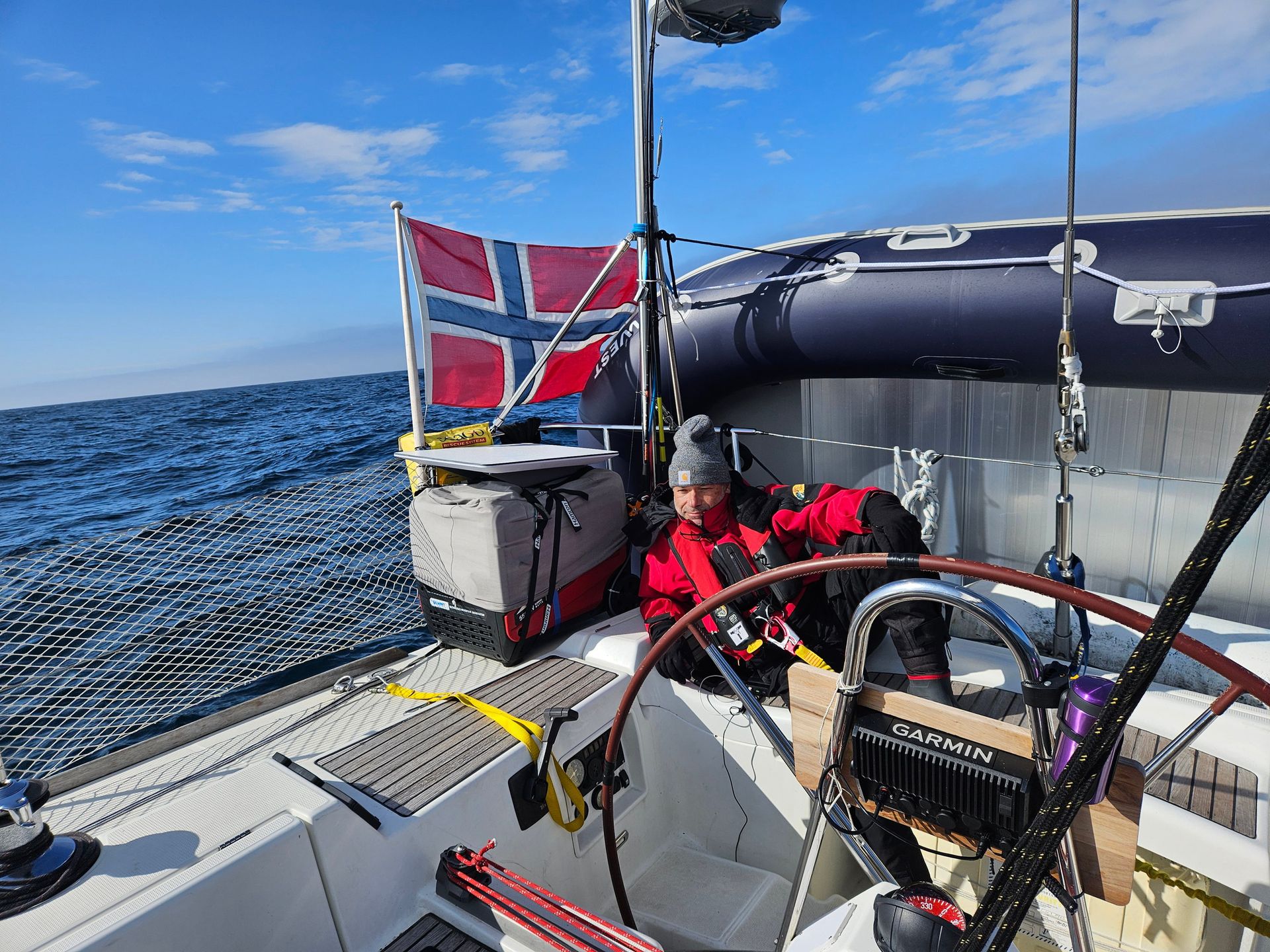
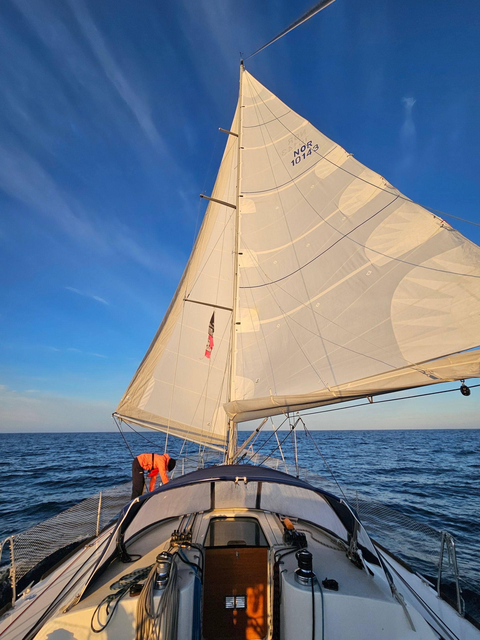
Then the longest watch of all: 121 hours under way, five days of open water, the log ticking over at 4.8 knots average with runs at 8.2 when the wind came fair. The midnight sun wheeled around the sky without ever touching the horizon. Fulmars held station off the quarter for hours at a time, stiff-winged, effortless, watching us work for every mile they got for free. On a small boat in a very large sea you understand your true size precisely: the swell does not notice you, the horizon does not get closer, and the chart shows your day’s run as a line too short to matter. You keep the watches anyway. That is the whole discipline of passagemaking — being minuscule, on schedule.
Tromsø
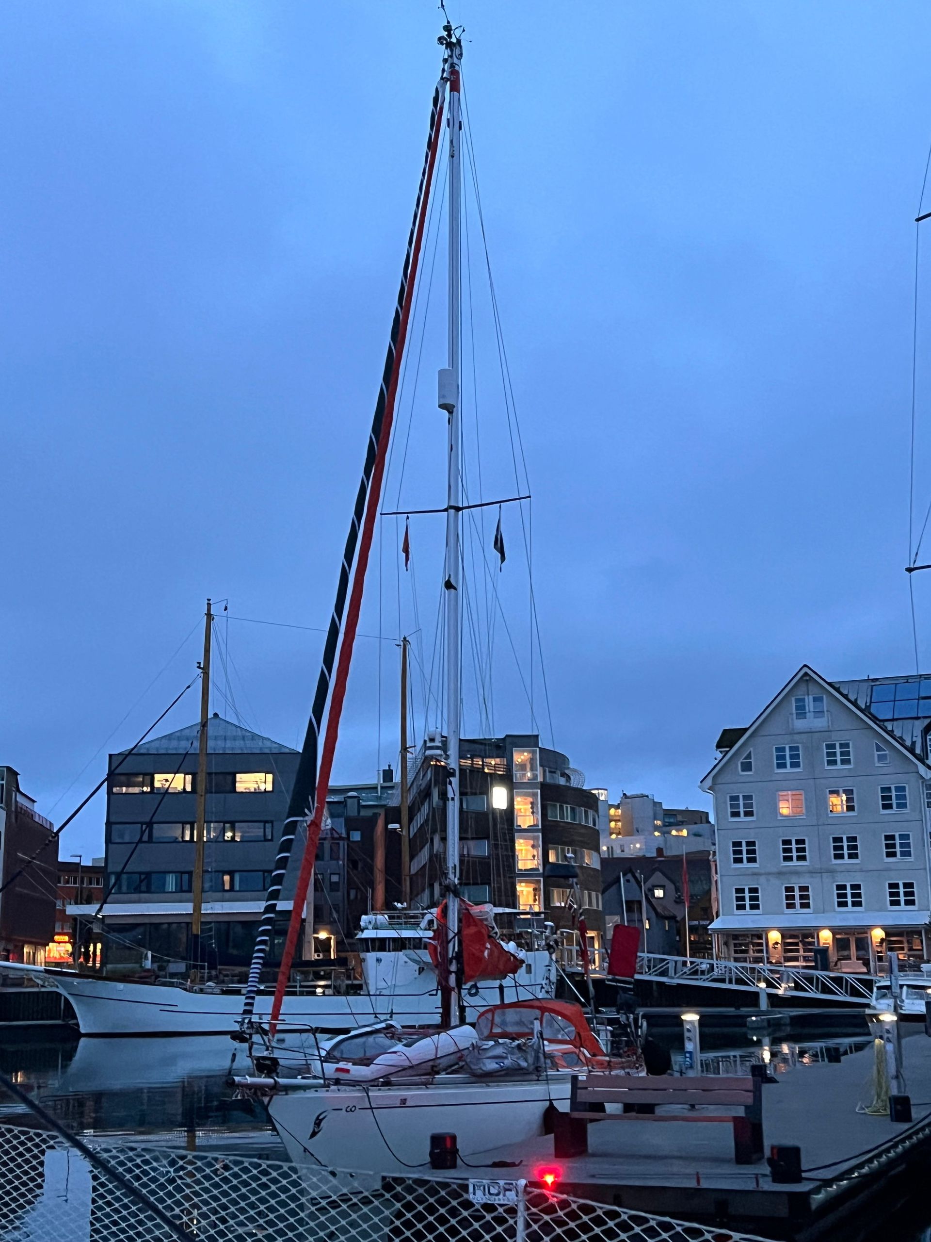
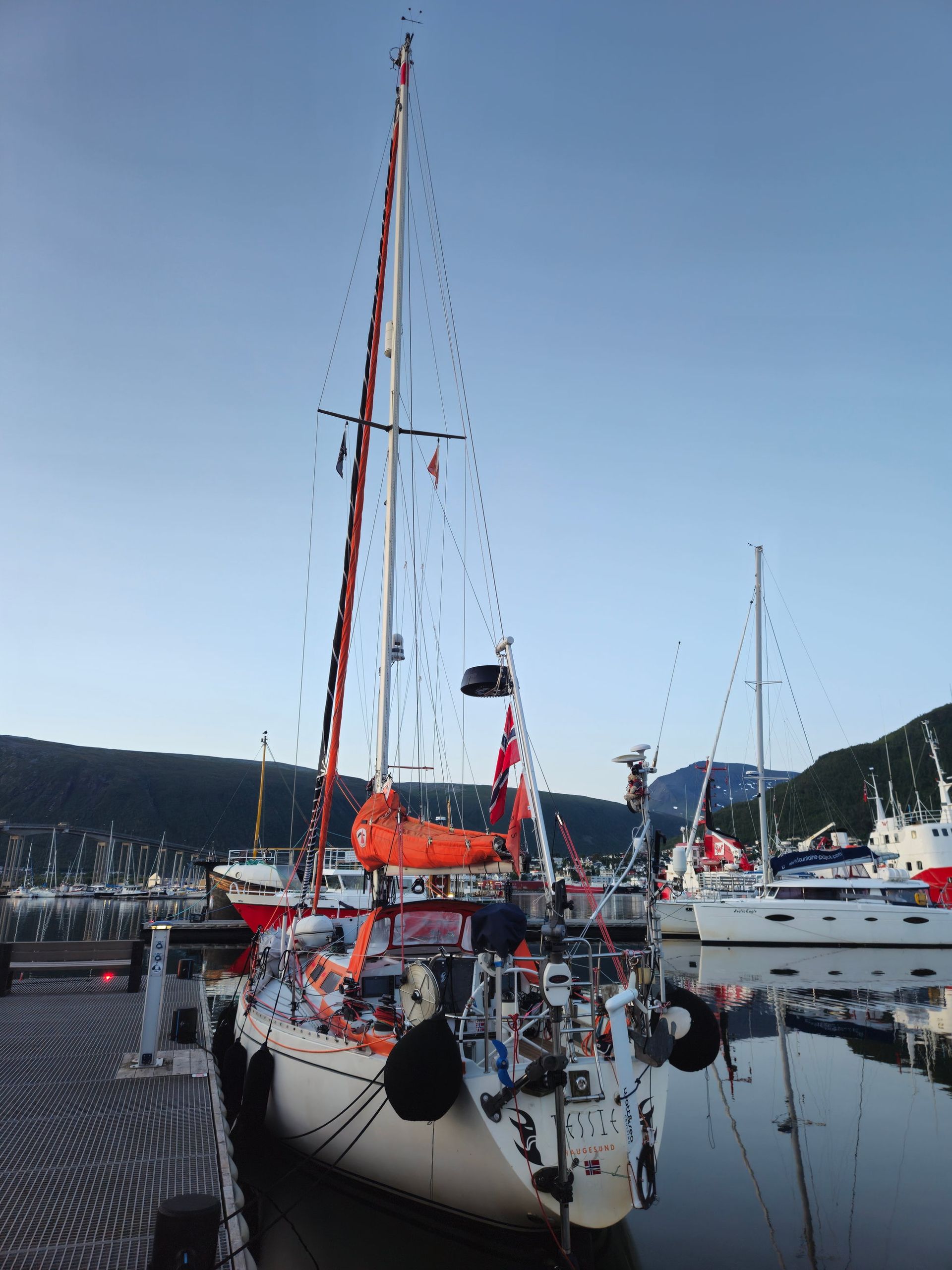
On 28 July, at 22:49 UTC, we put the lines ashore in Tromsø — 69 degrees north, which had felt like deep Arctic when we planned this voyage and felt like the tropics now. Trees. The smell of soil and rain. Streetlights, traffic, people walking without rifles, without looking at the sky first. Eleven days, 860 nautical miles, 174 hours under way, 9.4 degrees of latitude — a descent from a world that does not want us back into one built to pretend the other does not exist.
The numbers, for the log: Leg 1, Longyearbyen–Ny-Ålesund–Barentsburg, 195 nm in 37 hours. Leg 2, Barentsburg–Pyramiden, 47 nm in 9 hours, 9.2 knots at best. Leg 3, Pyramiden–Longyearbyen, 34 nm in 8 hours. Leg 4, Isfjorden–Bjørnøya–Tromsø, 583 nm in 121 hours. Four GPS tracks, 81,105 fixes, one boat, and the entire indifferent grandeur of the high Arctic from 79° down to 69° north.
What the ice is doing
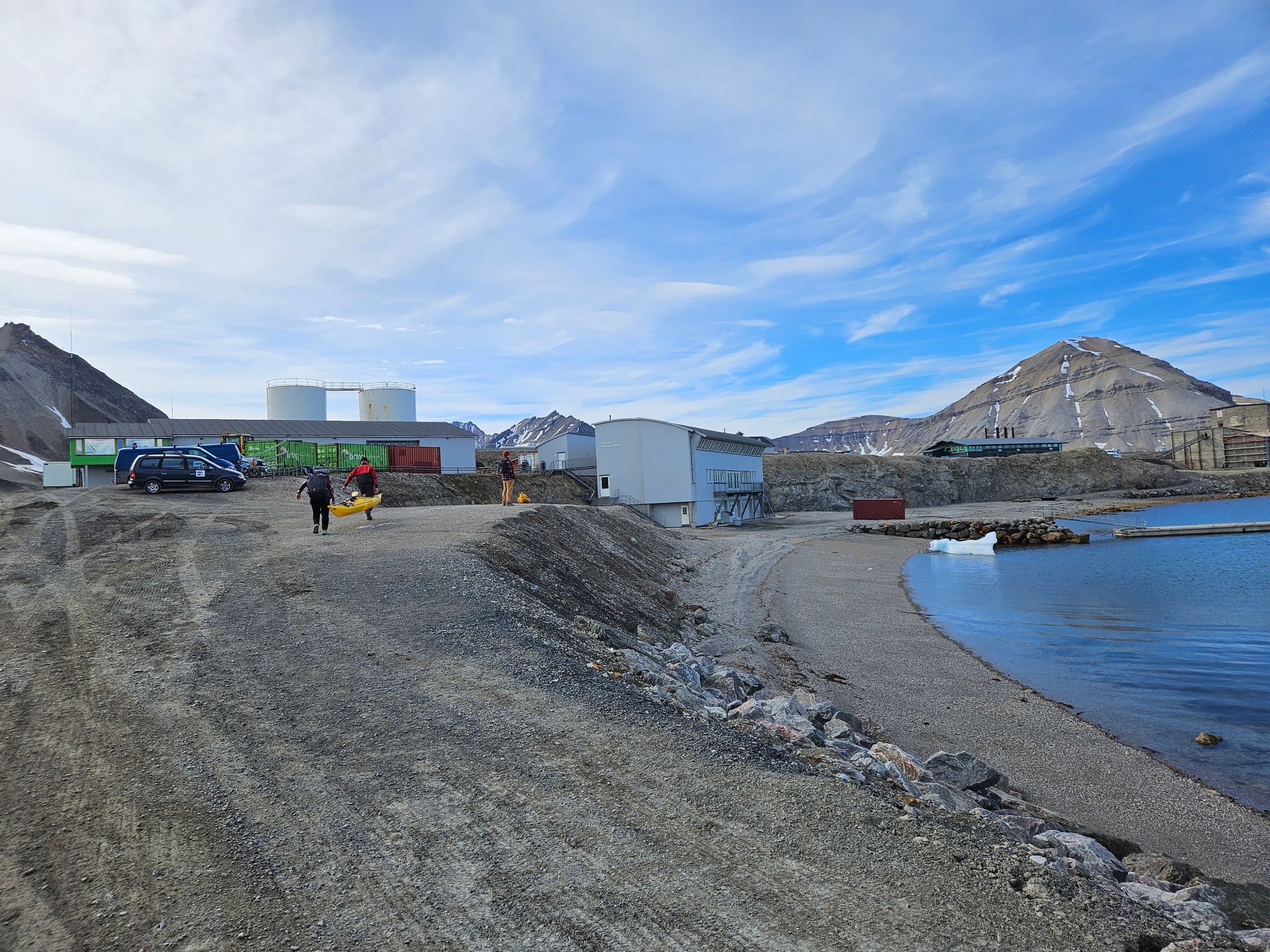
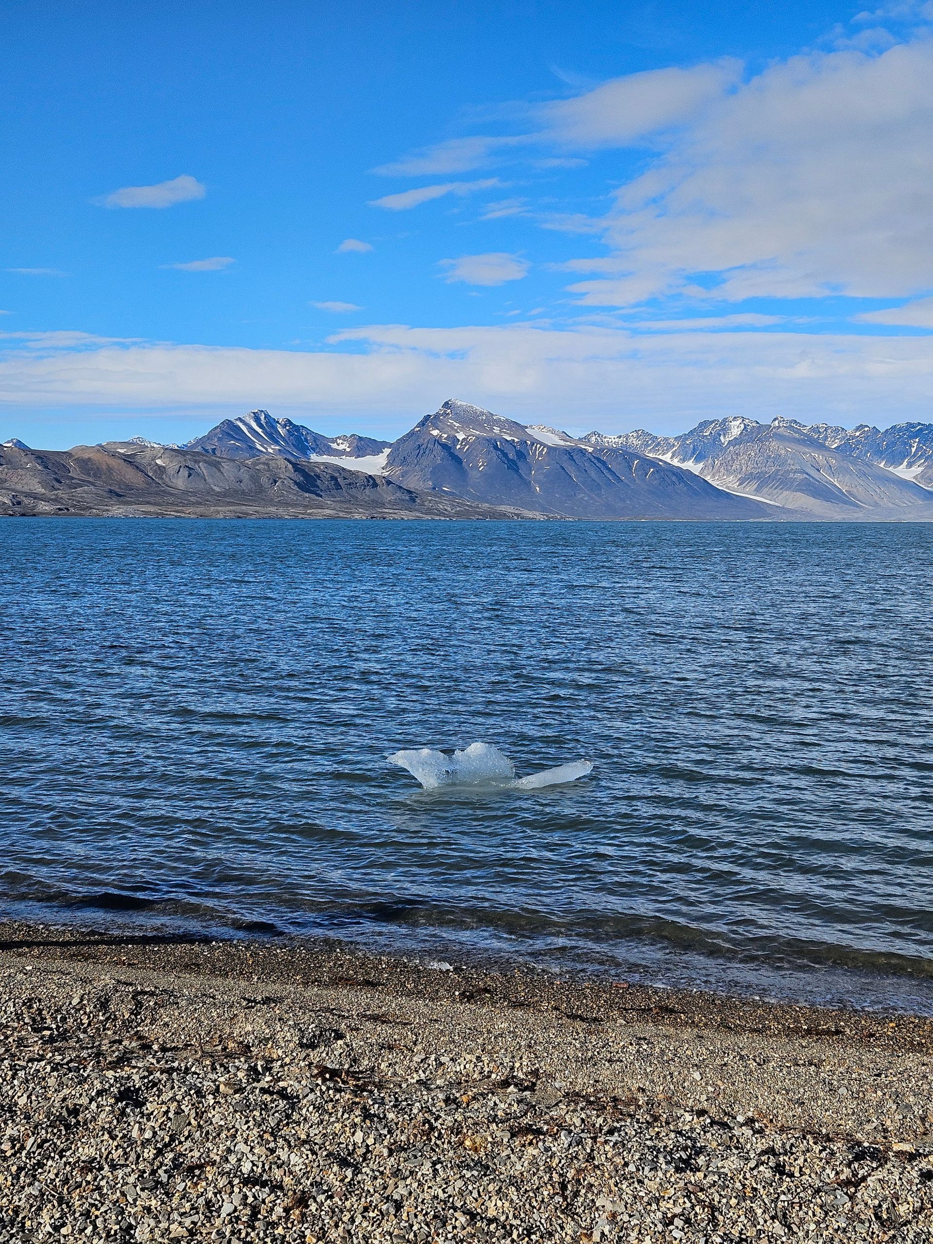
One set of numbers outlives the log. Kronebreen and Kongsbreen, the two tidewater glaciers at the head of Kongsfjorden, have each pulled back more than five kilometres since the 1990s — two of those kilometres in the last five years, and in 2025 Kronebreen alone gave up a record 715 metres in a single season. The village of Ny-Ålesund exists to measure exactly this: fourteen stations run by ten countries, glaciologists and geologists flying in for a fortnight at a time each summer to read the same stakes and fronts their predecessors read. A hundred metres from that laboratory, a growler sat aground off the beach on the evening of 18 July. By the following morning it had melted out of existence.
You can sail up to a calving front and photograph it, and the photograph tells you nothing about direction. The gauges do. Every fjord we entered on this voyage is longer than it was when the huts at its head were built, and it is longer for one reason.
The Flight In
Oslo → 78°15′N
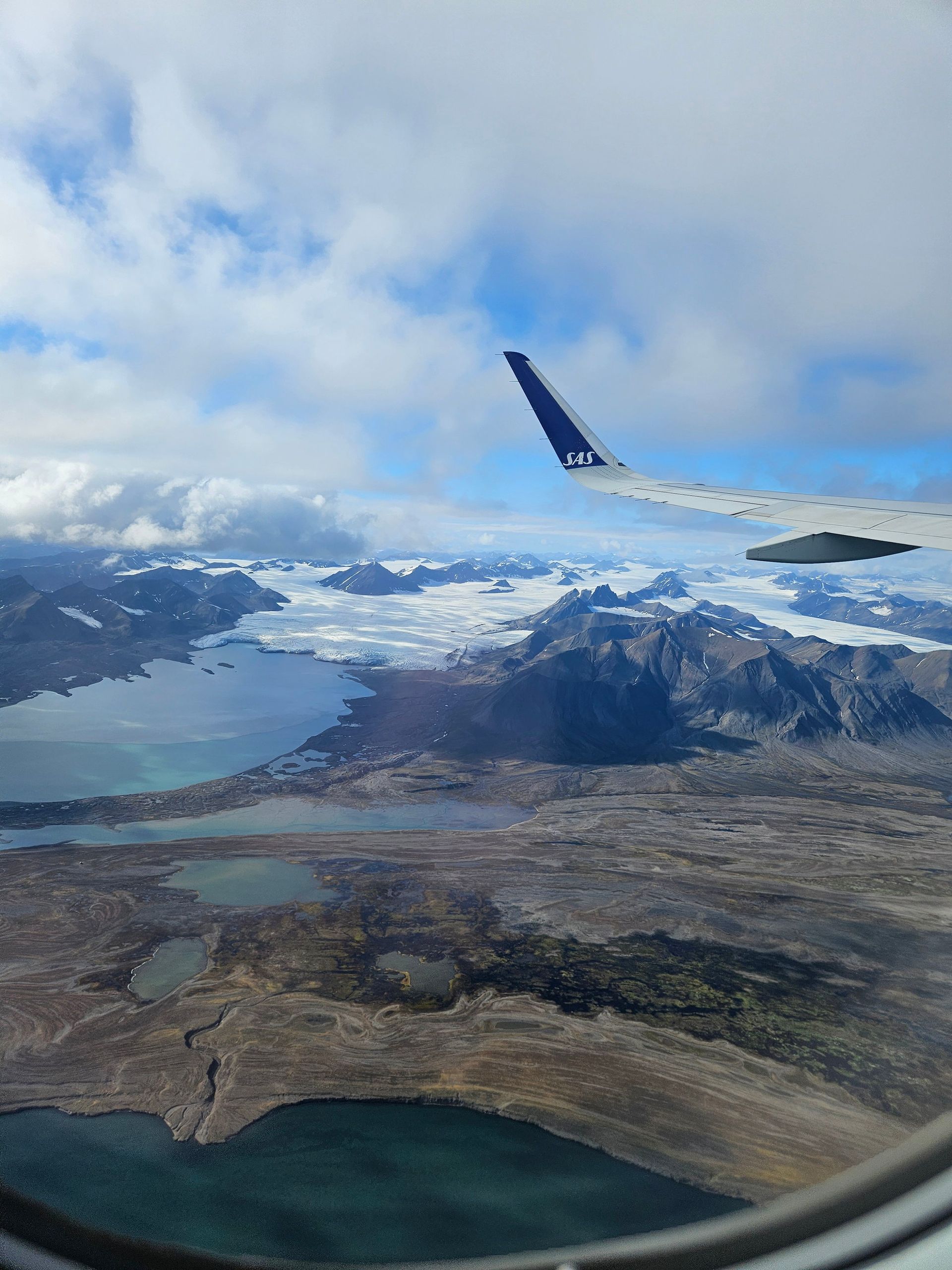
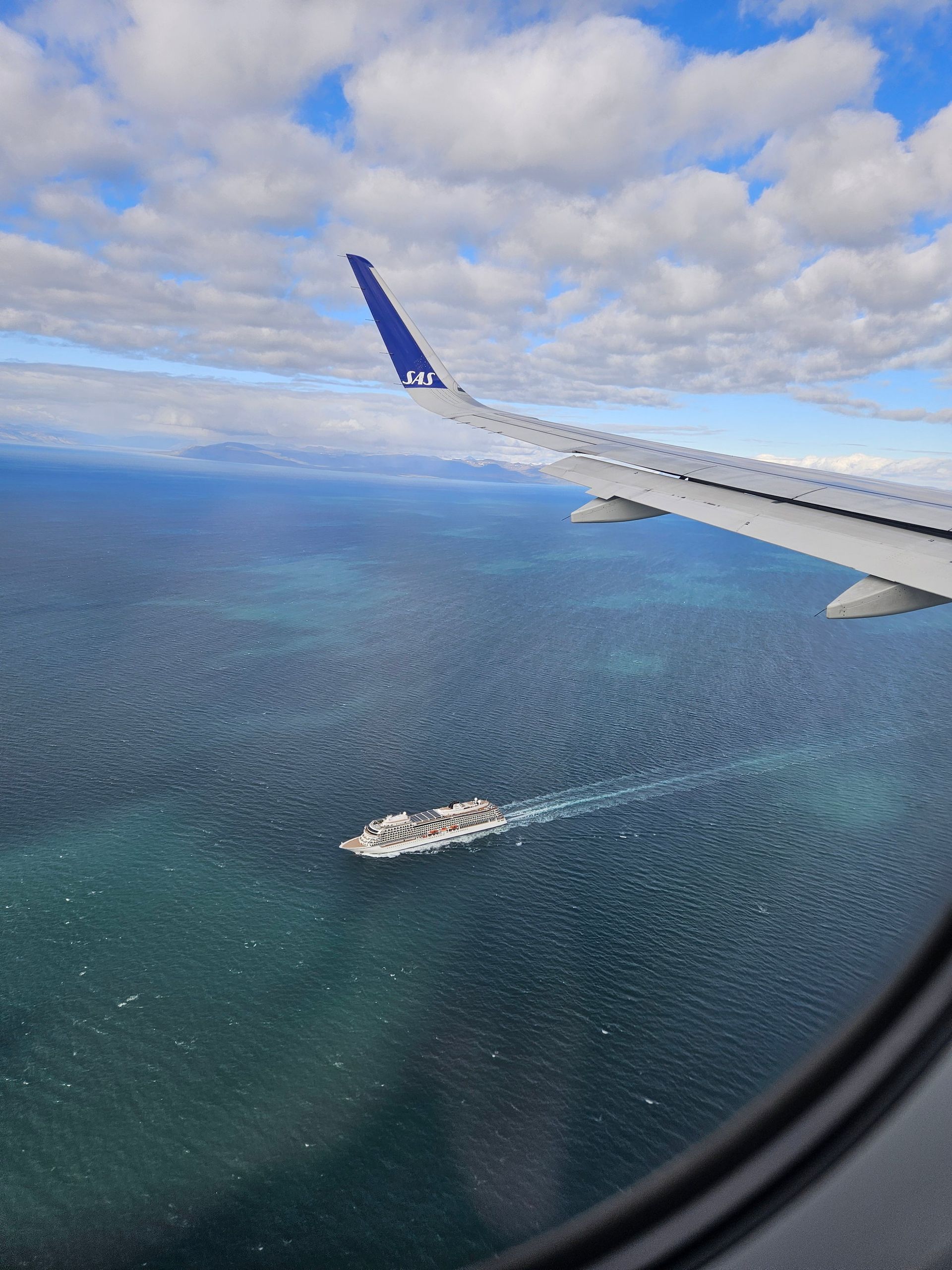
Three hours north of the mainland the map stops offering names. The ice comes up under the wing first, then the fjords, then a gravel strip beside the sea.
- Latitude
- 78°15′N
- Airport
- Svalbard Lufthavn
- Opened
- 1975
- Runway
- 2,483 m on permafrost
Why there is a runway at all
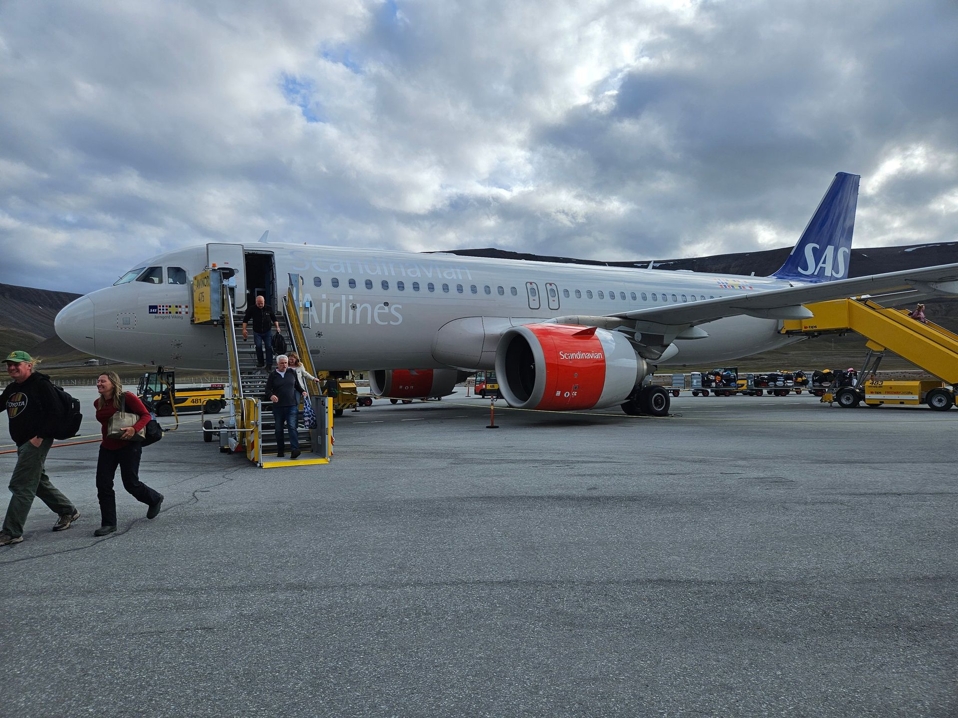
Svalbard Lufthavn is the world's northernmost airport with scheduled service. It was opened by King Olav V in 1975; before it, the archipelago was reachable only by ship, and for eight months of the year effectively not at all. The runway is built on permafrost and has to be watched as the ground warms.
What you see from the window
Spitsbergen is about 60 per cent ice. The white is not snow but the tops of ice caps draining into fjords, and the turquoise at their feet is rock flour — glacial silt so fine it hangs in the water and turns it opaque.
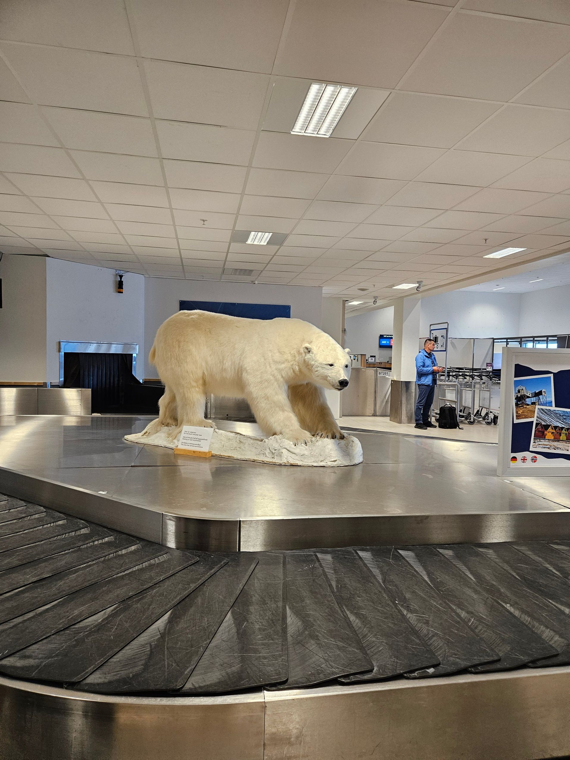
Longyearbyen
78°13′N
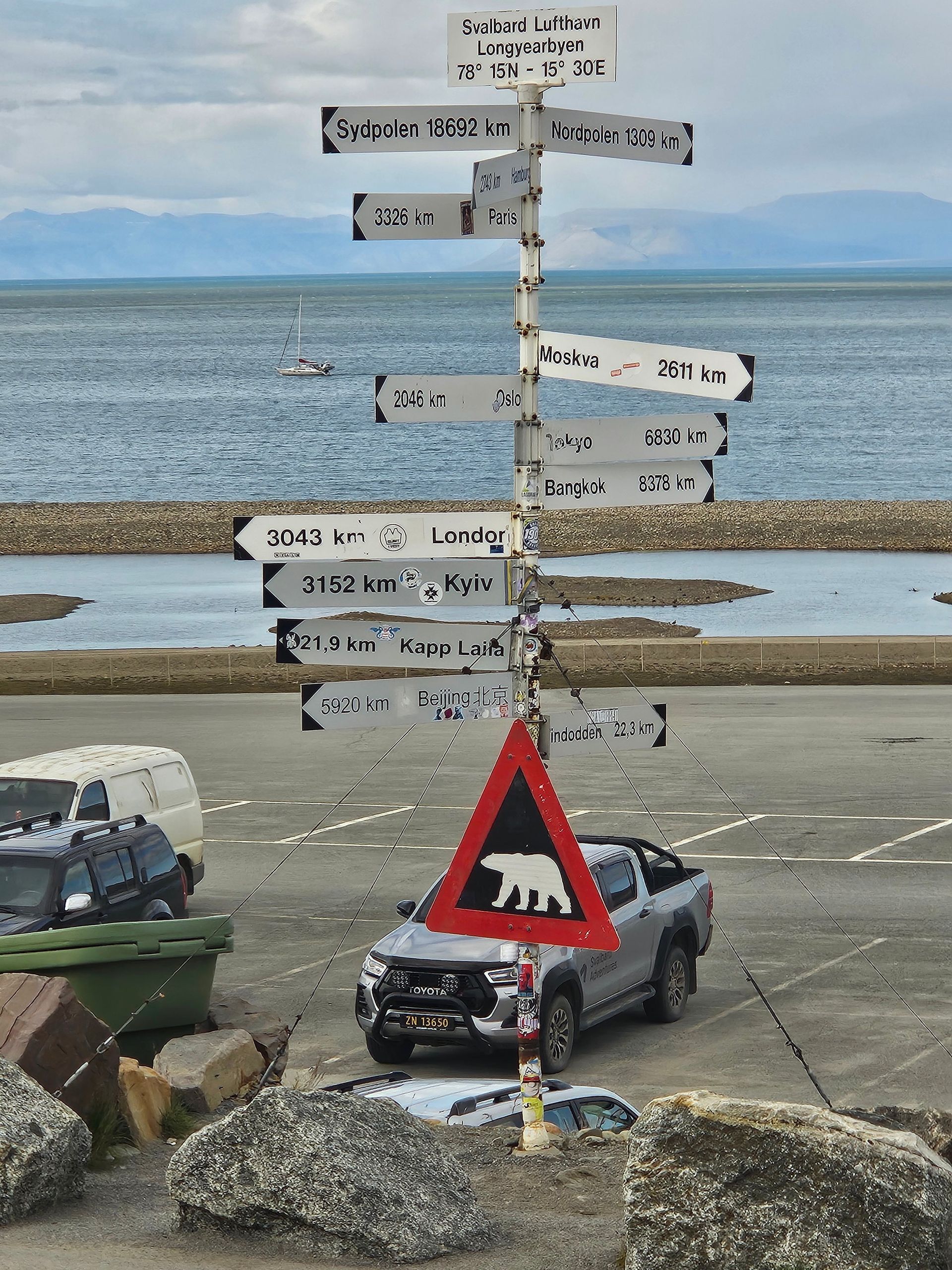
Two thousand four hundred people from more than fifty countries, living where nothing grows above knee height and nobody may leave town unarmed.
- Latitude
- 78°13′N
- Founded
- 1906
- Population
- ≈2,400
- Nationalities
- 50+
- Dark season
- Late Oct – mid Feb
A company town that outlived its company
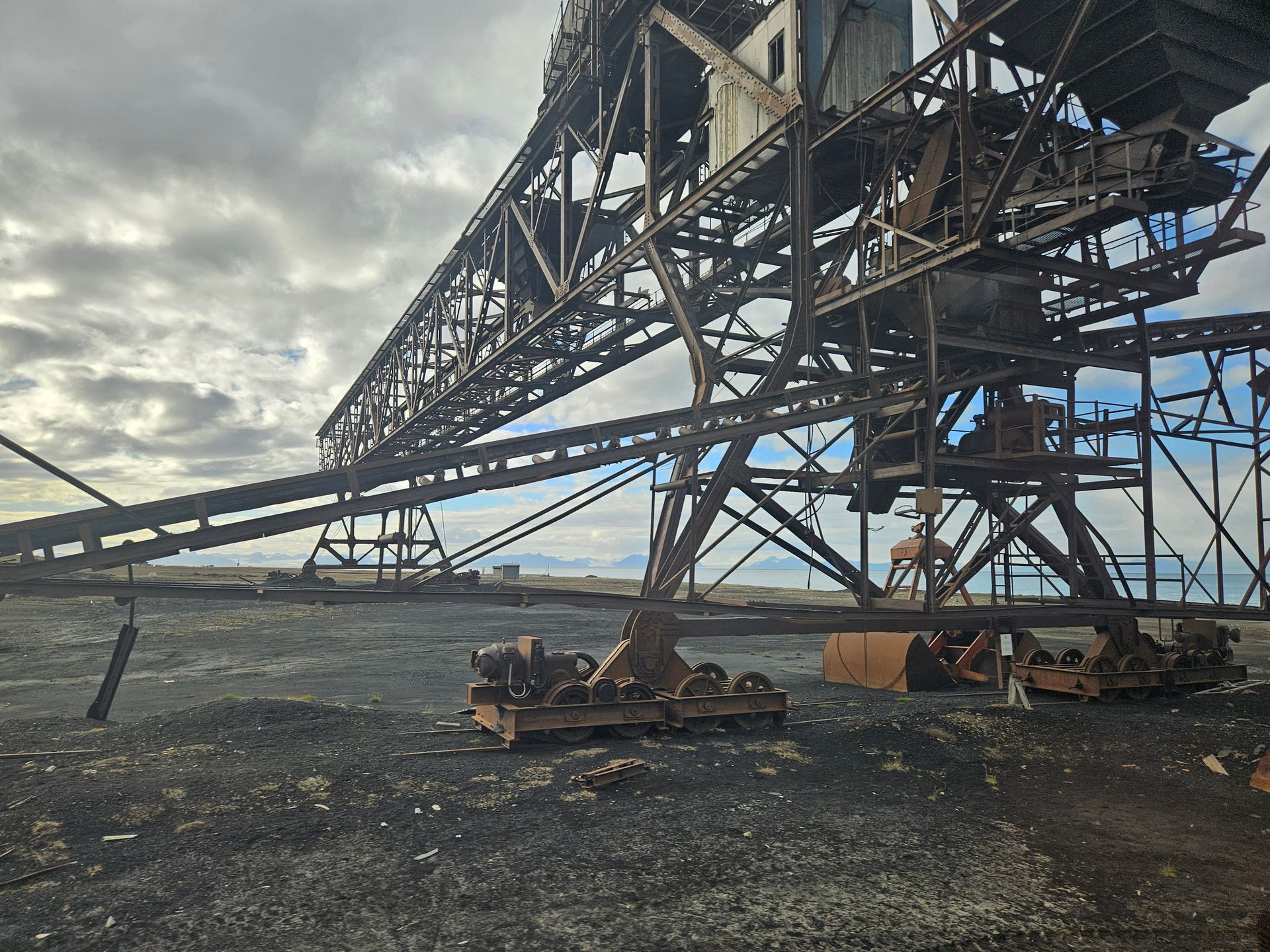
Longyearbyen is named after John Munro Longyear, the American who opened the Arctic Coal Company mine here in 1906. Coal built every road and every trestle you can see; the last Norwegian mine on the archipelago is now winding down, and the town runs on research, satellites and visitors instead.
The rules of living here
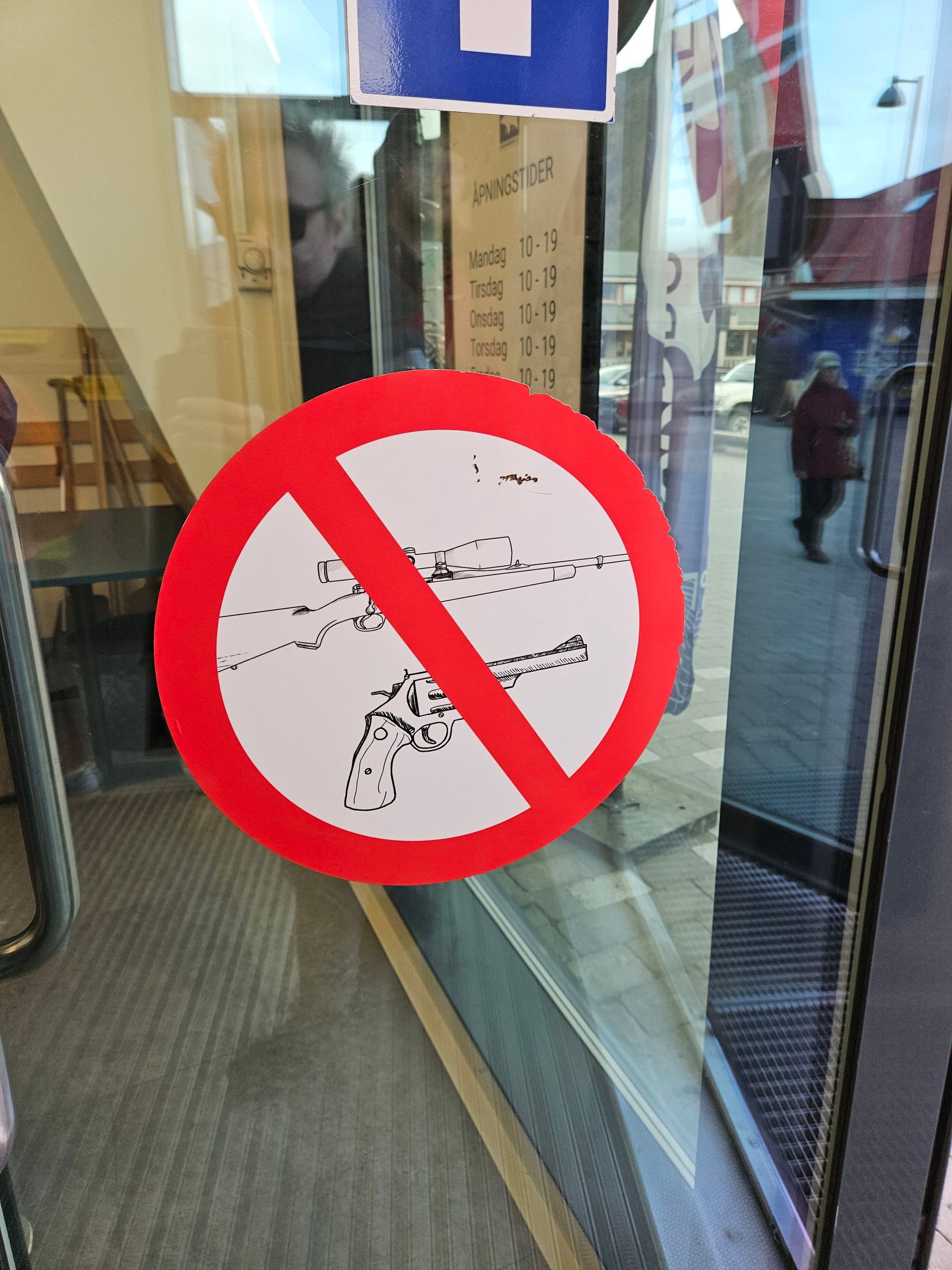
The 1920 Svalbard Treaty gives every signatory nation the right to live and work on the archipelago visa-free, which is why fifty-odd nationalities share a town of 2,400. Outside the settlement limit a firearm is mandatory because of polar bears, and the wooden houses stand on piles driven into permafrost so their own warmth does not melt the ground out from under them.
Northbound
Isfjorden → Kongsfjorden
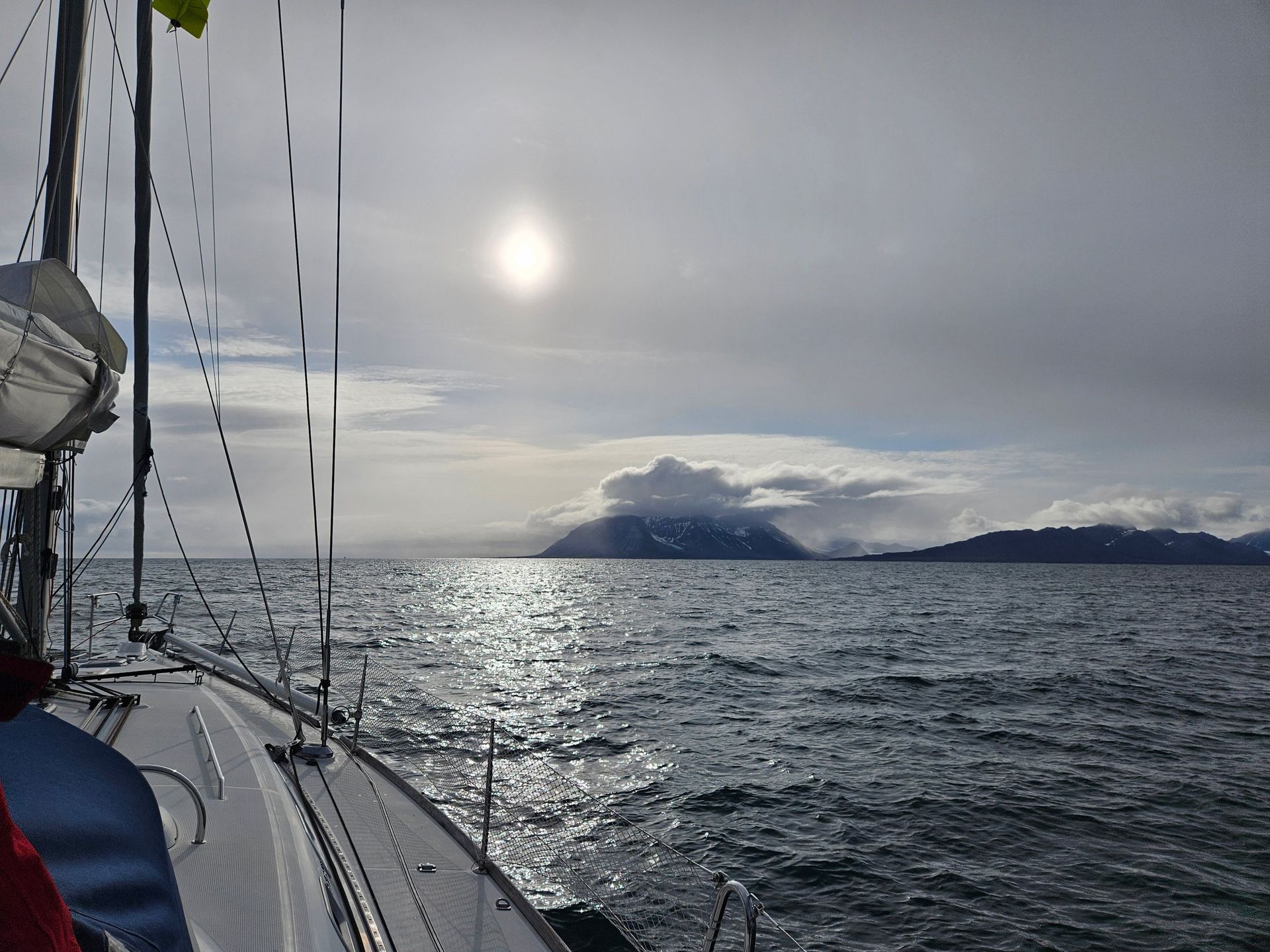
Three days north with the sun refusing to set. Watches kept by the clock rather than the light, and the coast getting emptier by the hour.
- Distance
- ≈120 nautical miles
- Midnight sun
- 20 Apr – 22 Aug
- Sea temperature
- 3–6 °C
- Crew
- Six, four-hour watches
Sailing where the sun does not set
Above 78°N the sun stays up continuously for four months. Navigation lights become pointless and the body loses its anchor: the galley runs all night, the watch changes at 02:00 in full daylight, and the only way to know the hour is to look at the log.
Why the water is warm enough to sail
The West Spitsbergen Current carries Atlantic water up the western coast, which is why this side of the archipelago is navigable in summer while the same latitude in Greenland or Siberia is locked in ice.
Ny-Ålesund
78°55′N
Thirty-five people in winter, ten nations, and no mobile network at all. The northernmost year-round settlement on earth exists so that somebody is here to take the measurements.
- Latitude
- 78°55′N
- Founded
- 1917
- Winter population
- ≈35
- Nations
- 10
- Mining ended
- 1963
- Waffle house
- Volunteer-run, final season
- Weather hold
- 37 hours alongside
From coal to instruments
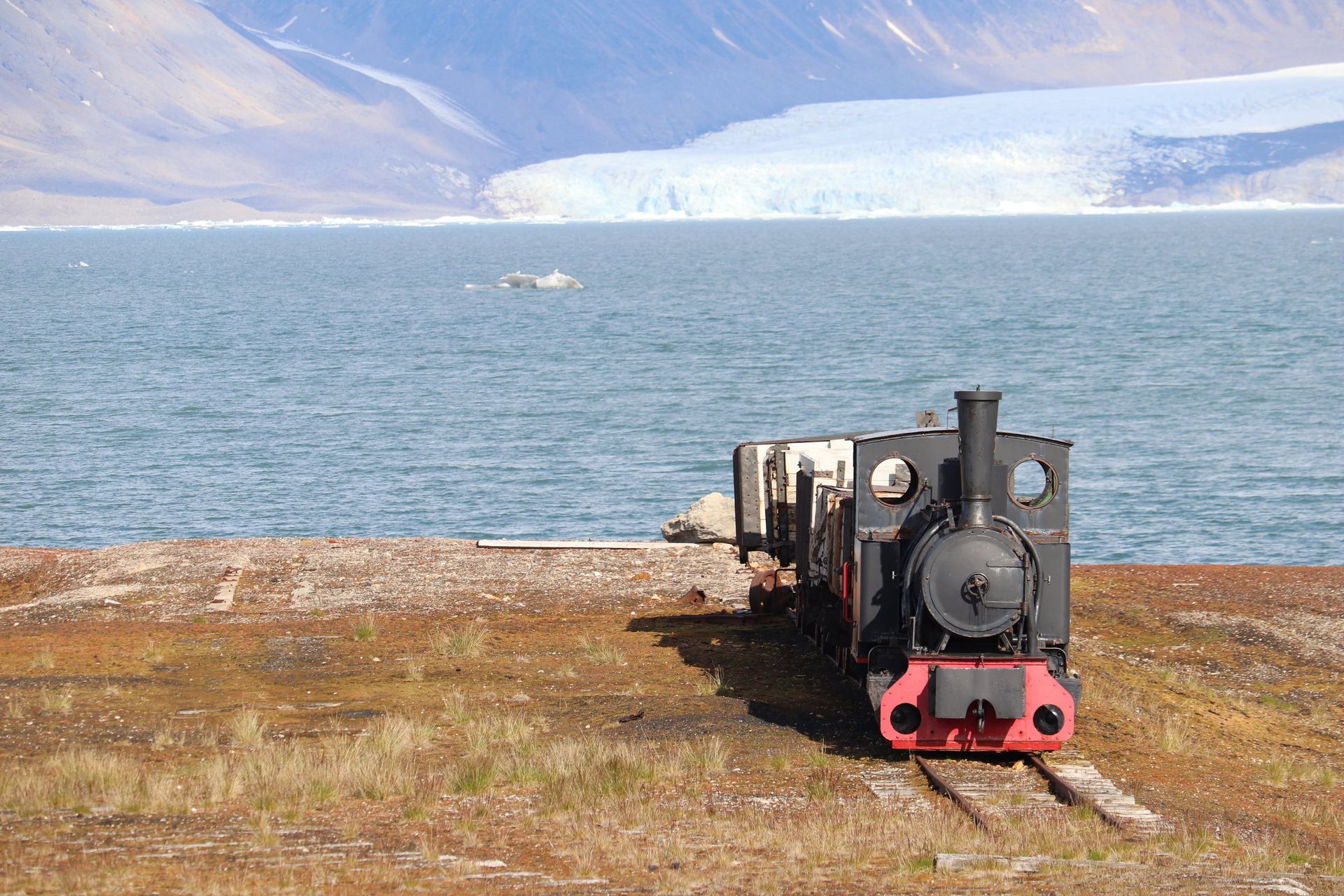
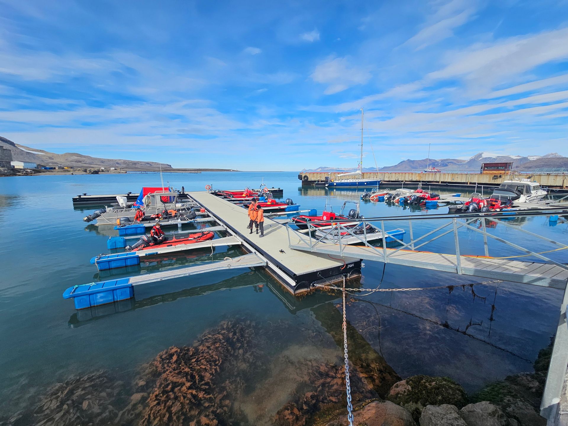
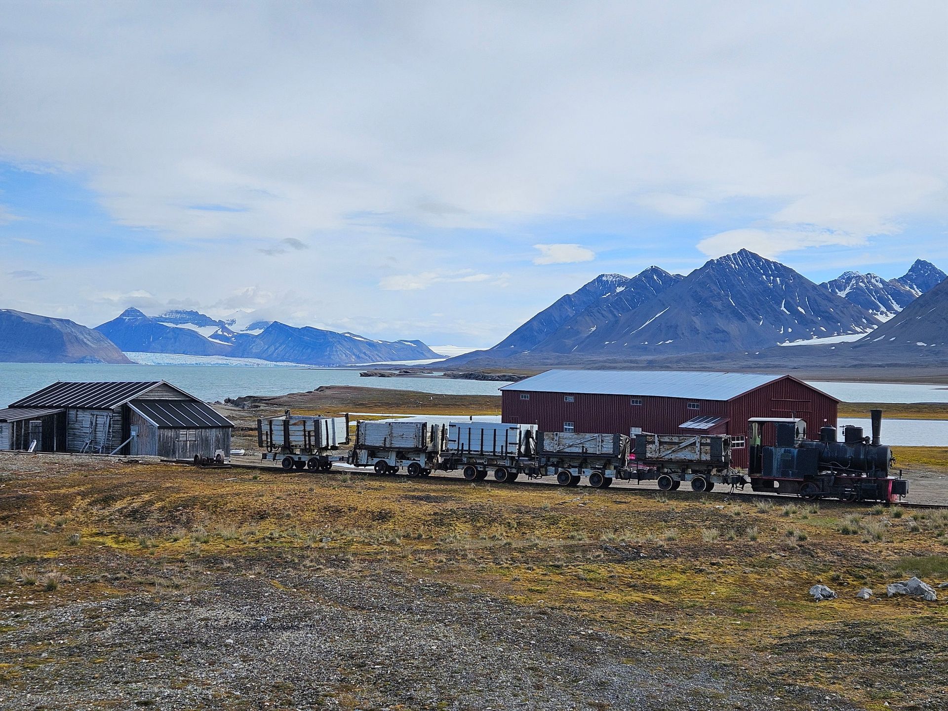
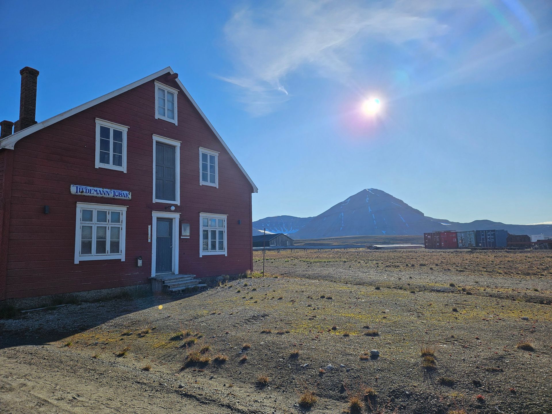
Kings Bay Kull Compani began mining here in 1917. The coal was poor and the mines were lethal — an explosion in 1962 killed 21 men and brought down the Norwegian government of the day. Mining stopped in 1963 and the village was handed to science; today fourteen stations run by ten countries measure atmosphere, glaciers, permafrost and birds from the same red huts the miners left.
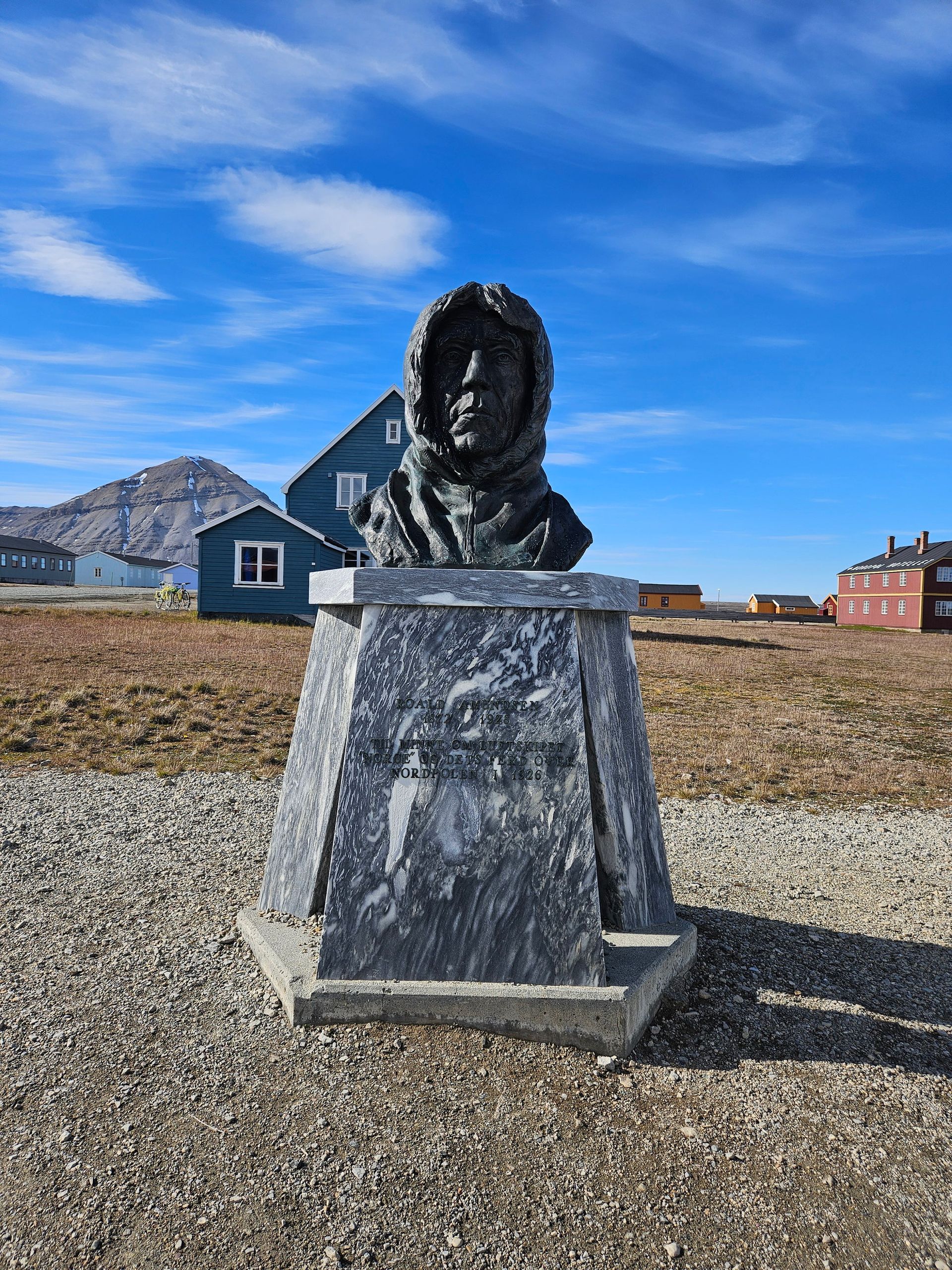
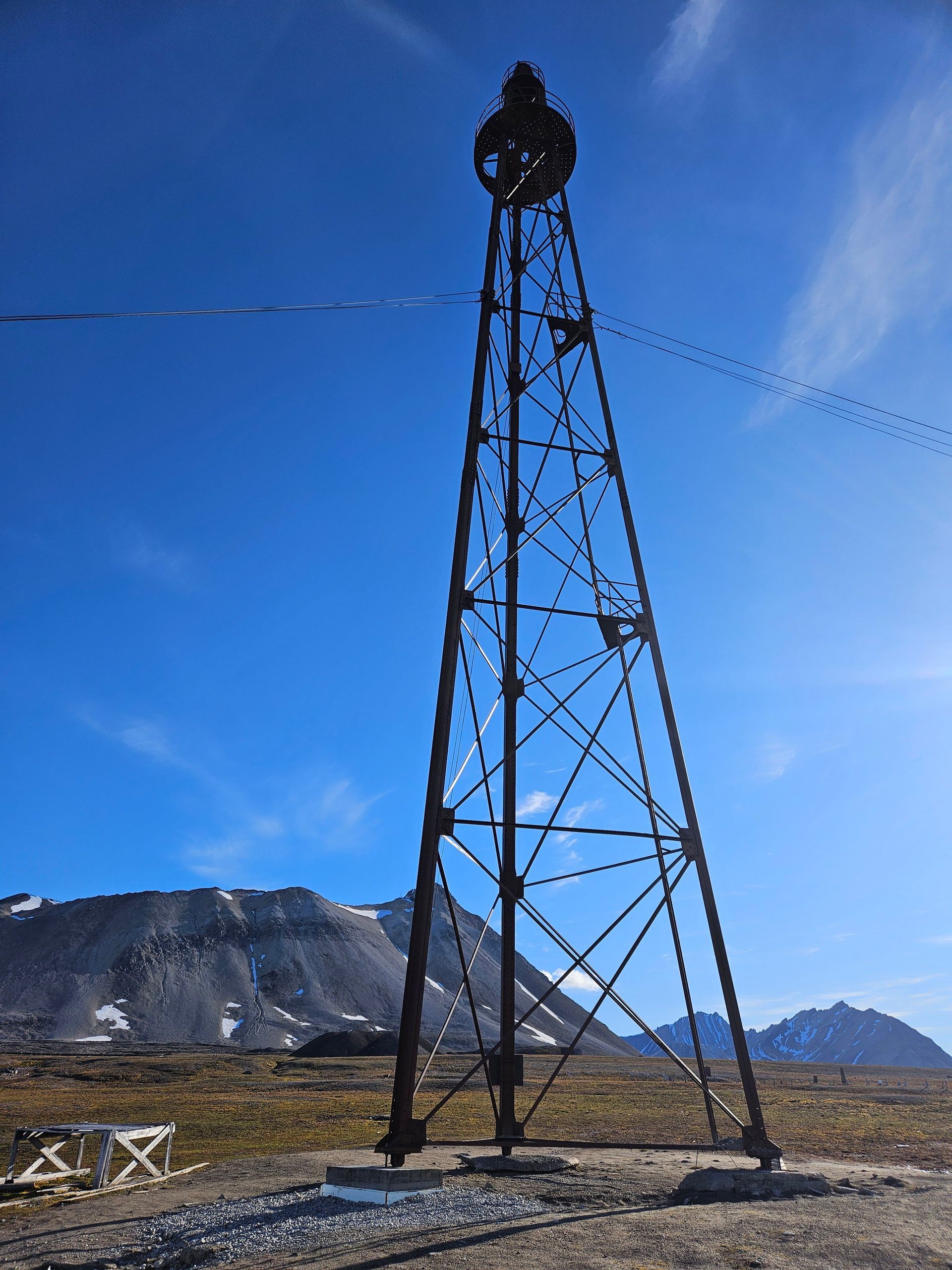
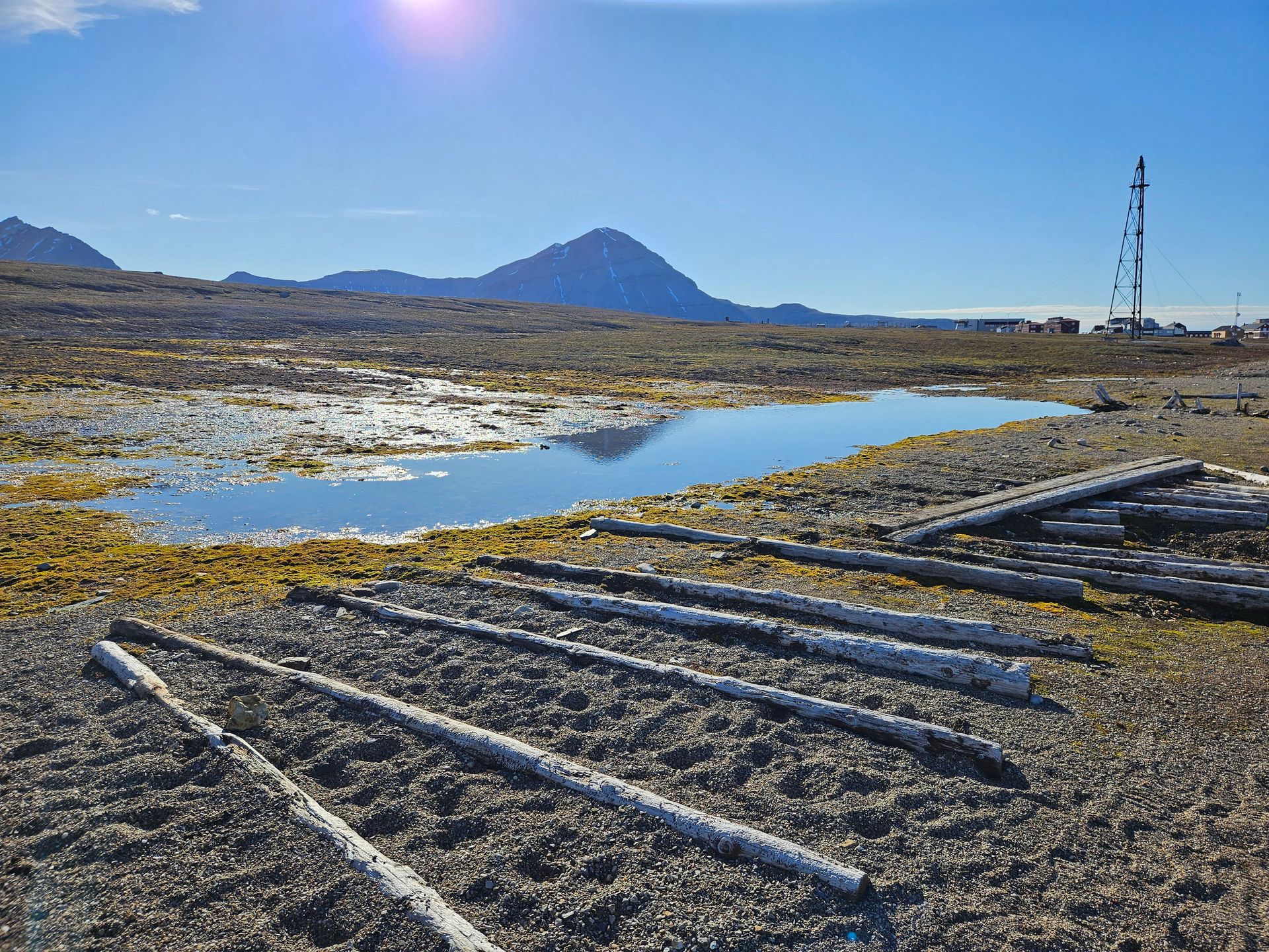
The mast the Norge flew from
The steel lattice mast on the tundra south of the village was raised in the winter of 1925-26 for the airship Norge. On 12 May 1926 Amundsen, Ellsworth and Nobile flew from here across the North Pole to Alaska — 5,460 km in 72 hours, and the first crossing of the Pole that anyone has ever been able to verify from the navigation logs. The mast is all that is left of it.
Radio silence
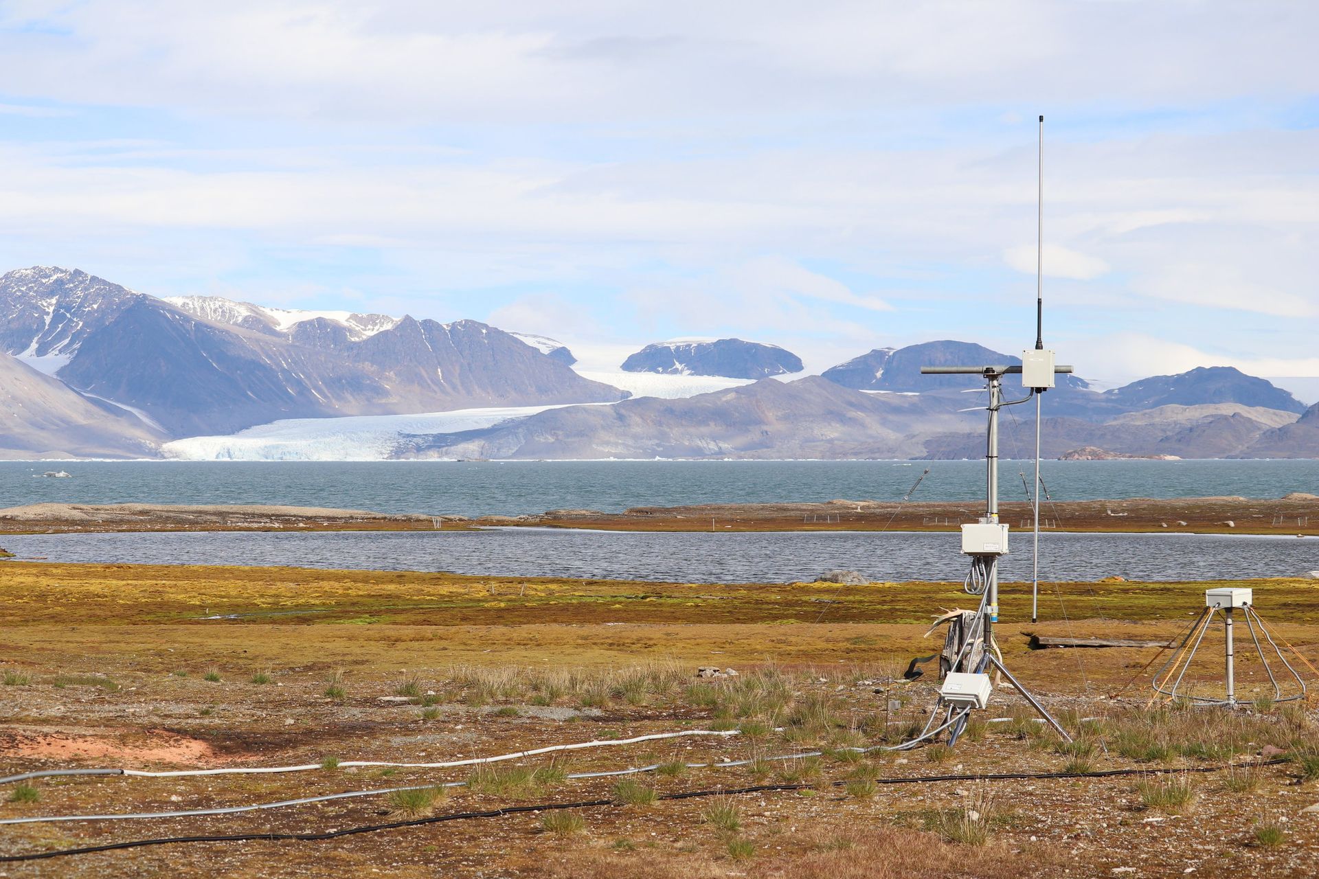
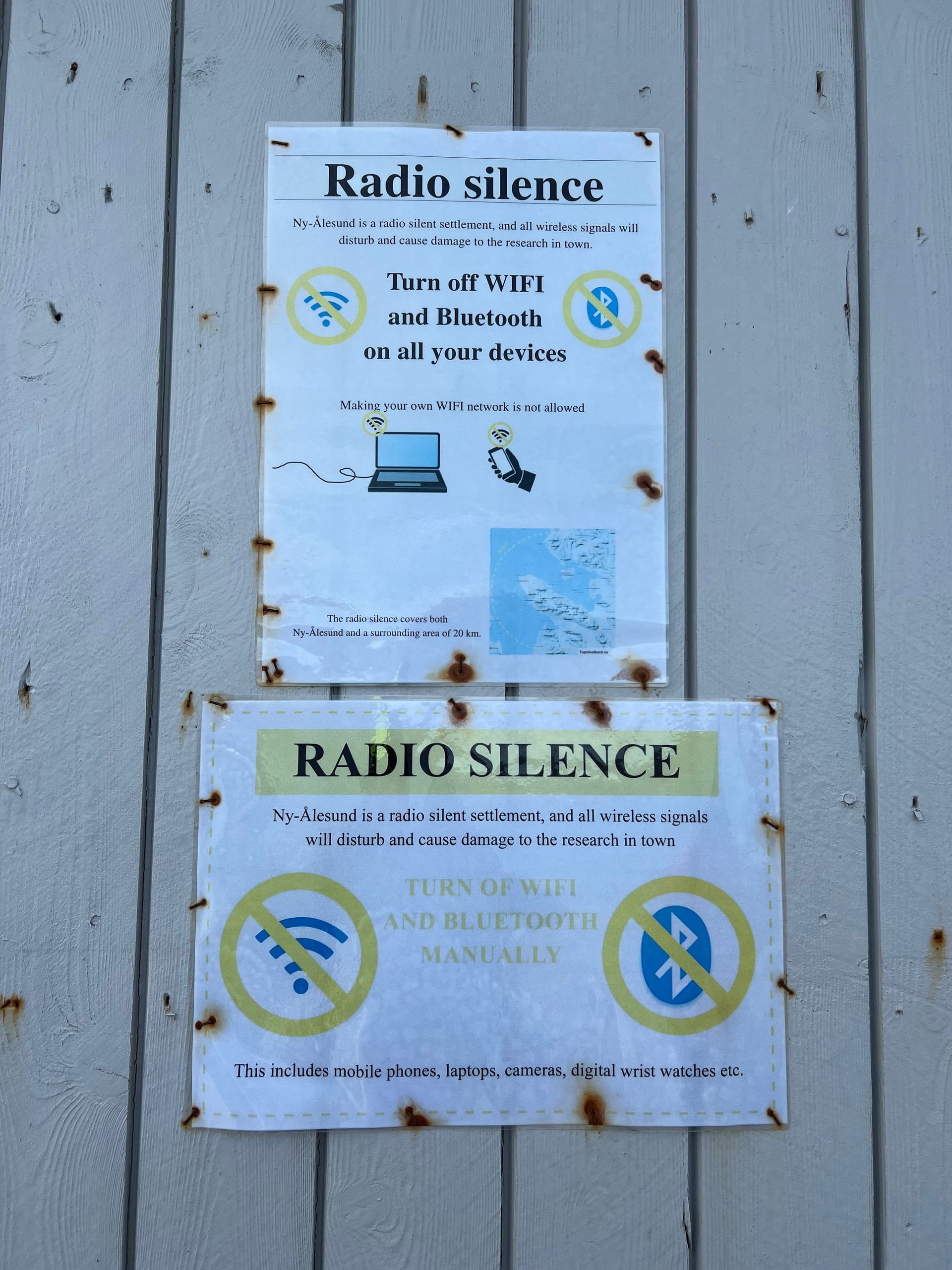
Ny-Ålesund keeps a radio-quiet zone: no mobile phones, no wifi beyond the stations, nothing that would contaminate the instruments listening to the upper atmosphere. It is the quietest inhabited place most visitors will ever stand in.
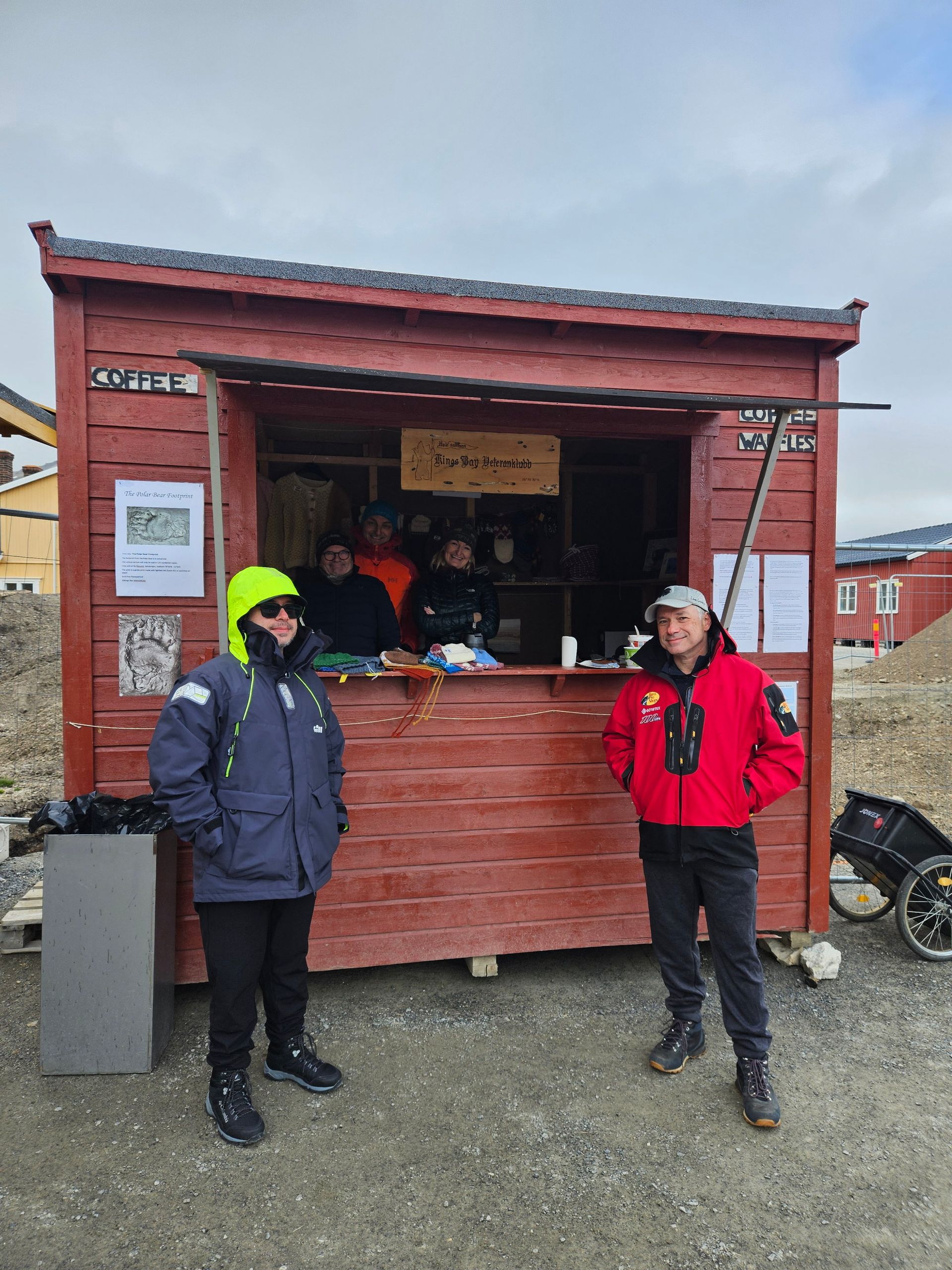
The waffle house
For years the small red hut by the quay has been opened by volunteers from the families of Ny-Ålesund's old coal miners, serving waffles to whoever has just come ashore. It is the northernmost place on earth where somebody hands you a hot waffle on a paper plate, and 2026 is the last year they are going to be there.
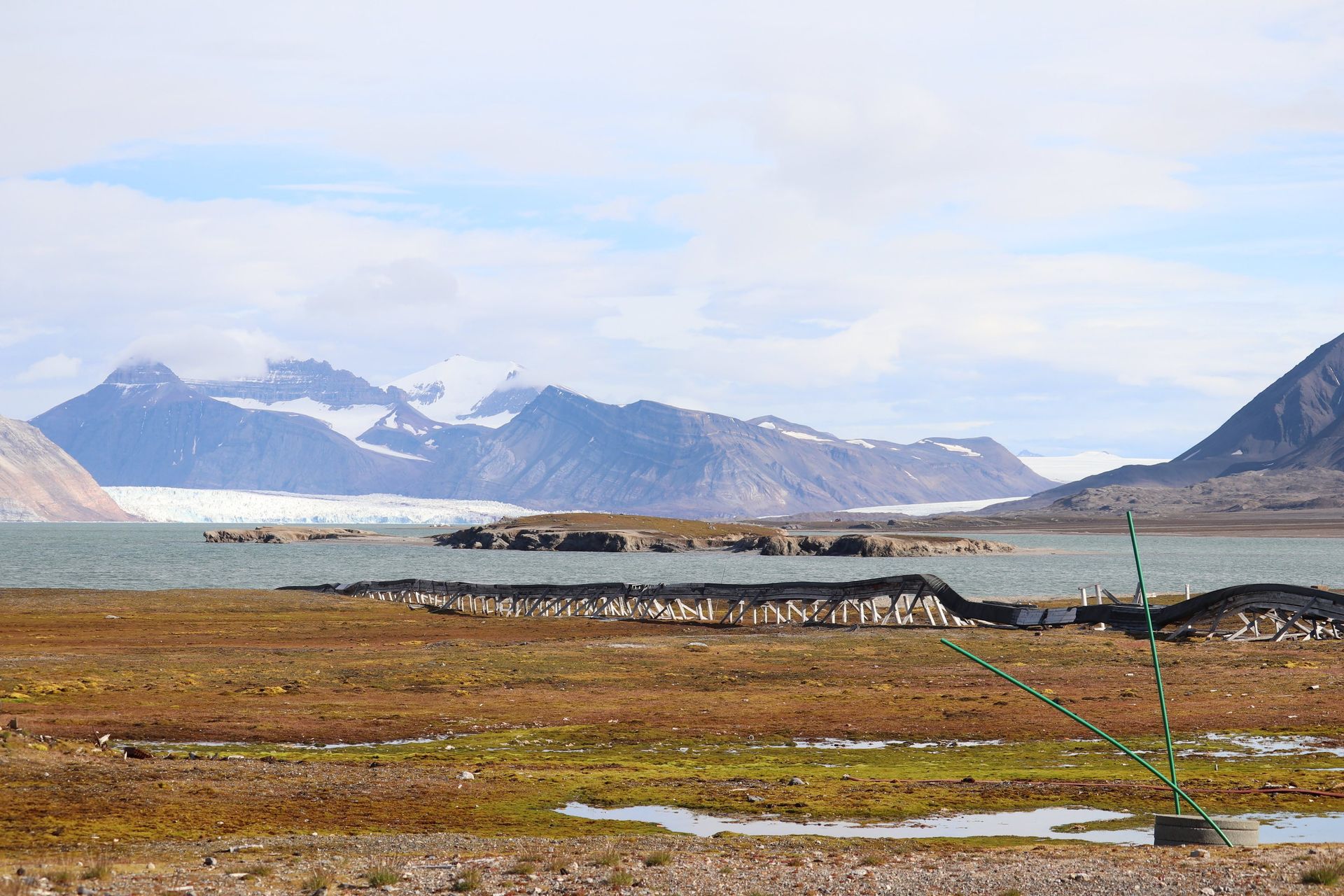
The glacier is the experiment
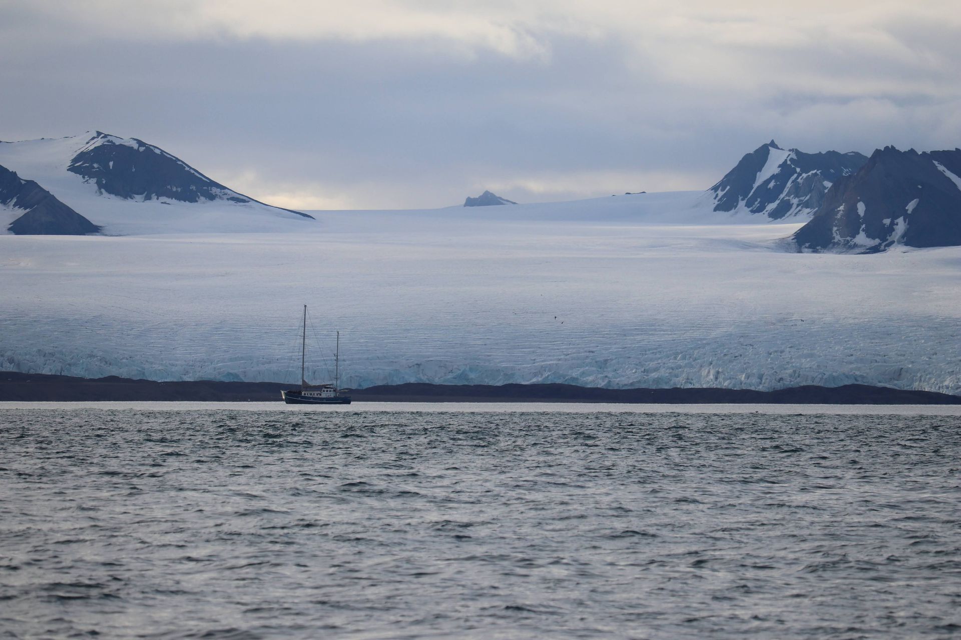
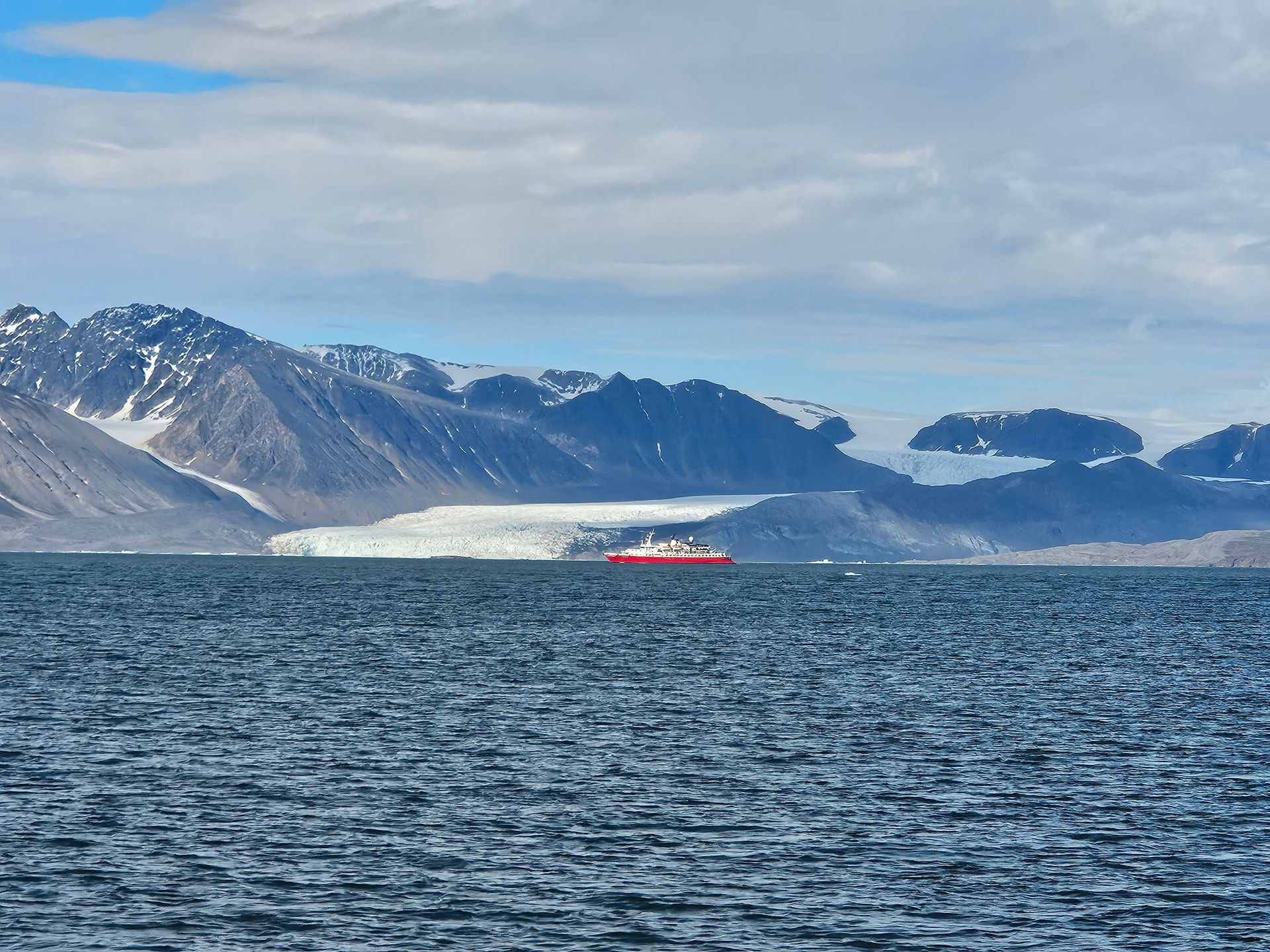
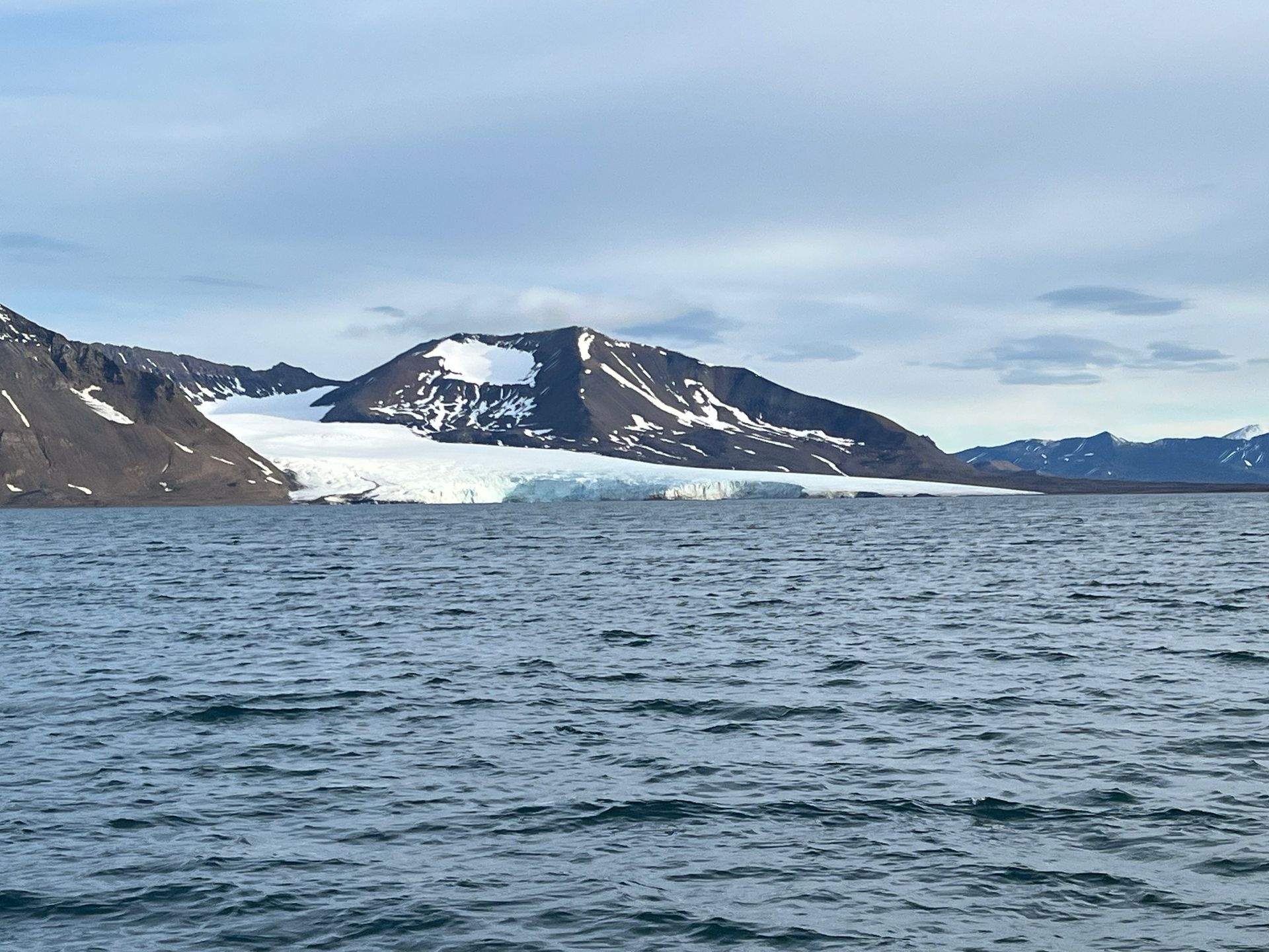
Kongsfjorden is measured because it is changing faster than almost anywhere else with a jetty. Kronebreen and Kongsbreen have each retreated more than five kilometres since the 1990s, two of those in the last five years, and in 2025 Kronebreen alone gave up a record 715 metres in a single season. Teams of glaciologists and geologists fly in for a fortnight at a time every summer to read the same stakes, gauges and fronts their predecessors read, which is the only way anyone knows the number at all.
Kongsfjorden
The fjord
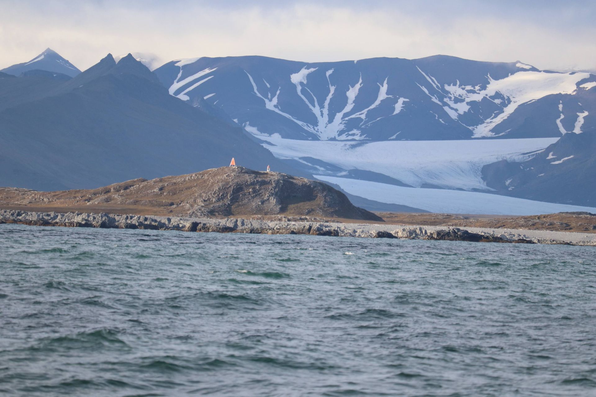
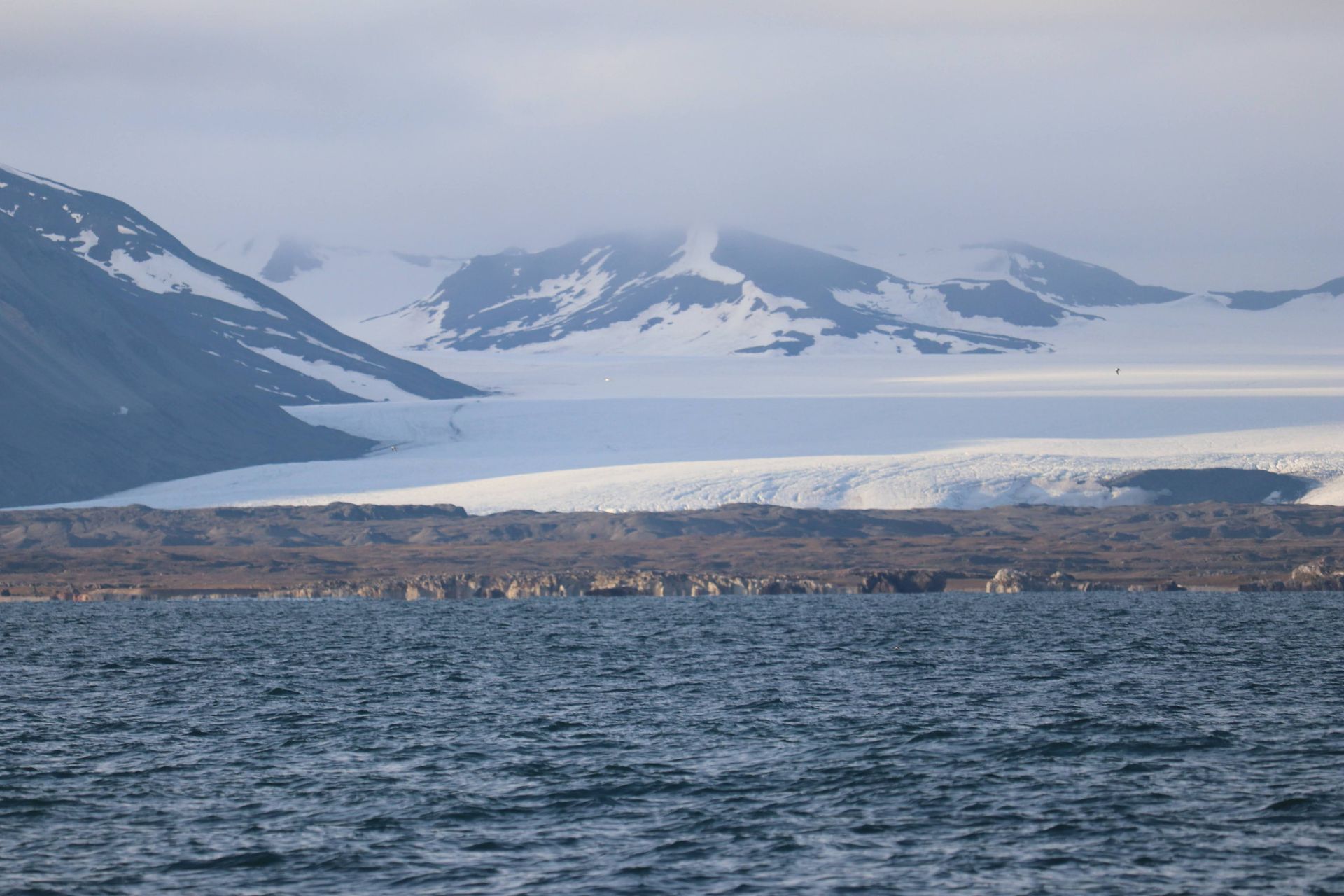
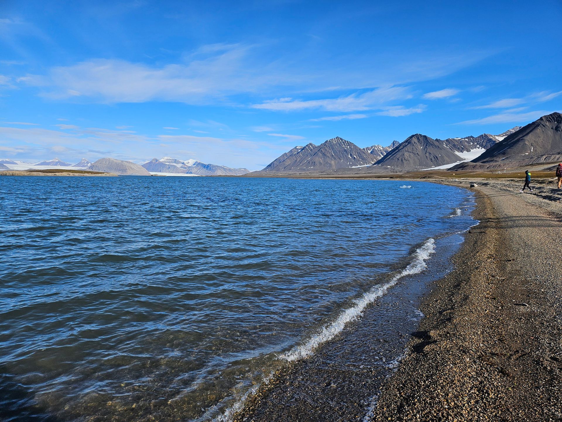
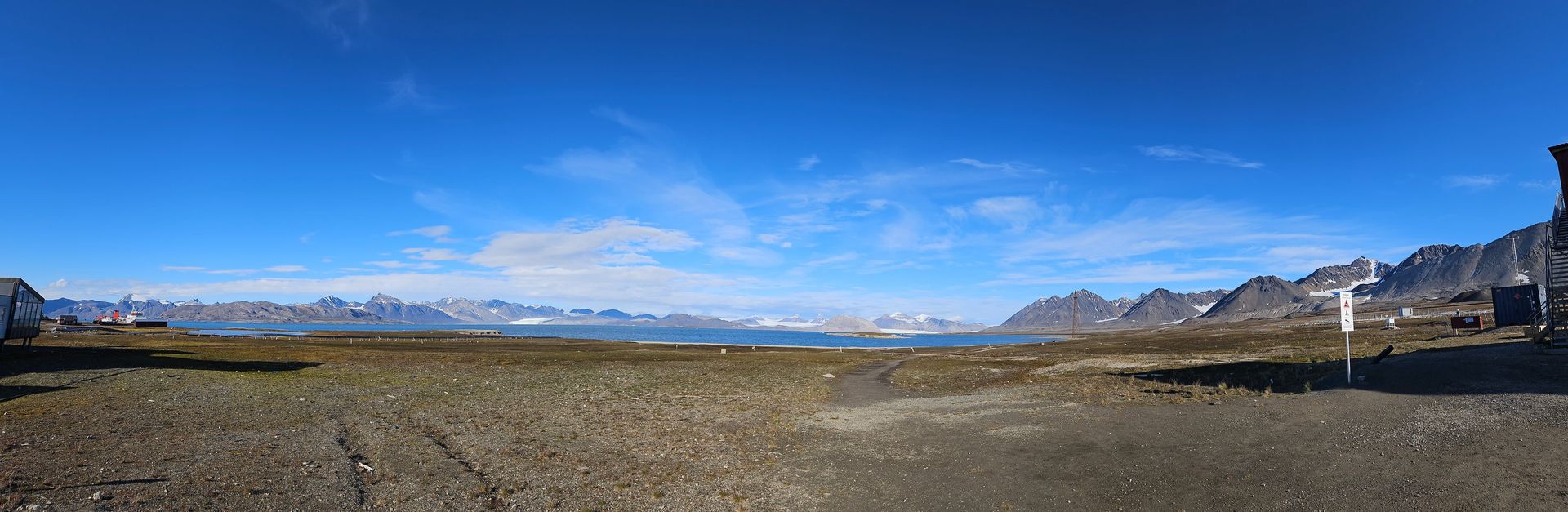
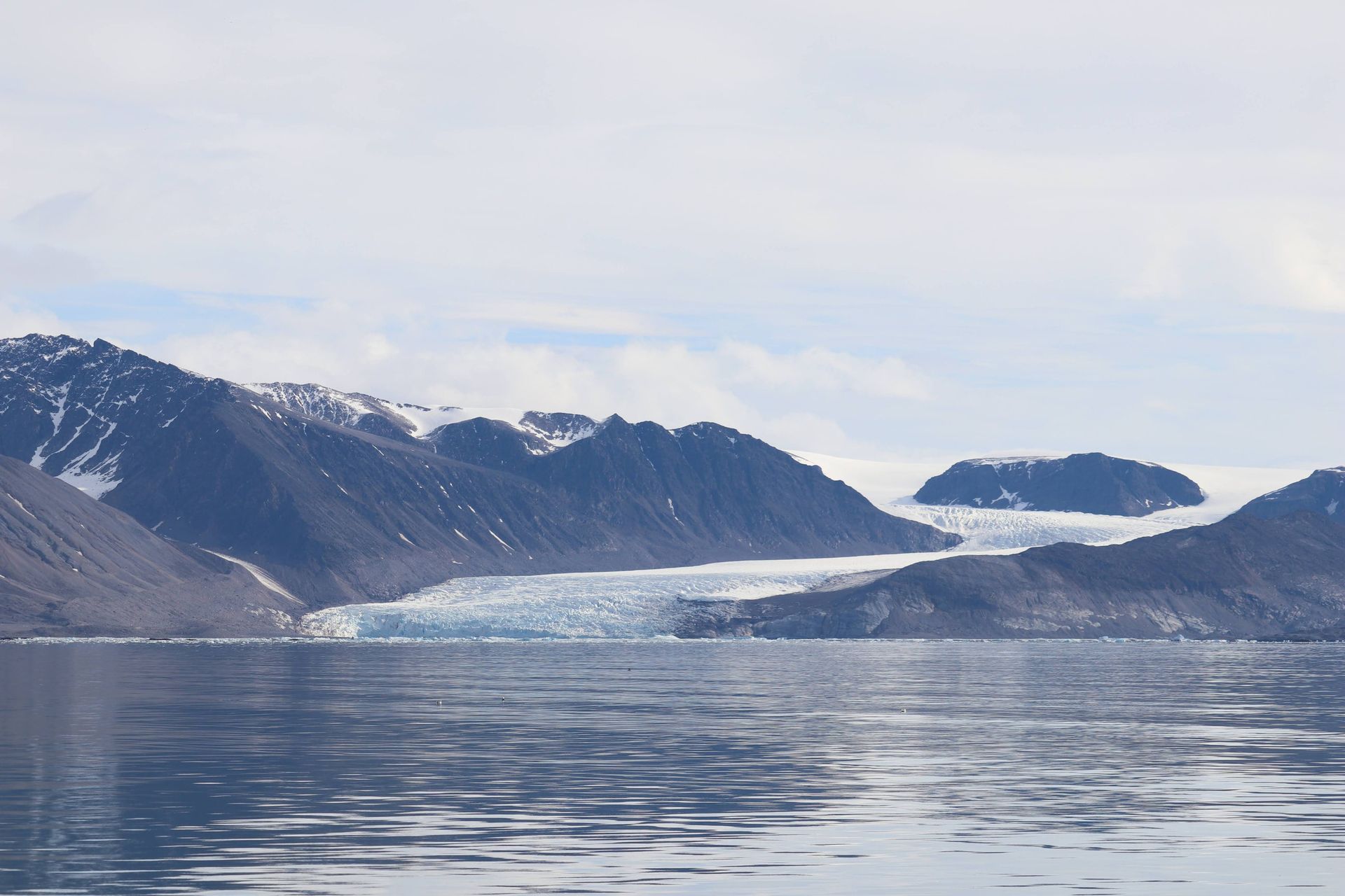
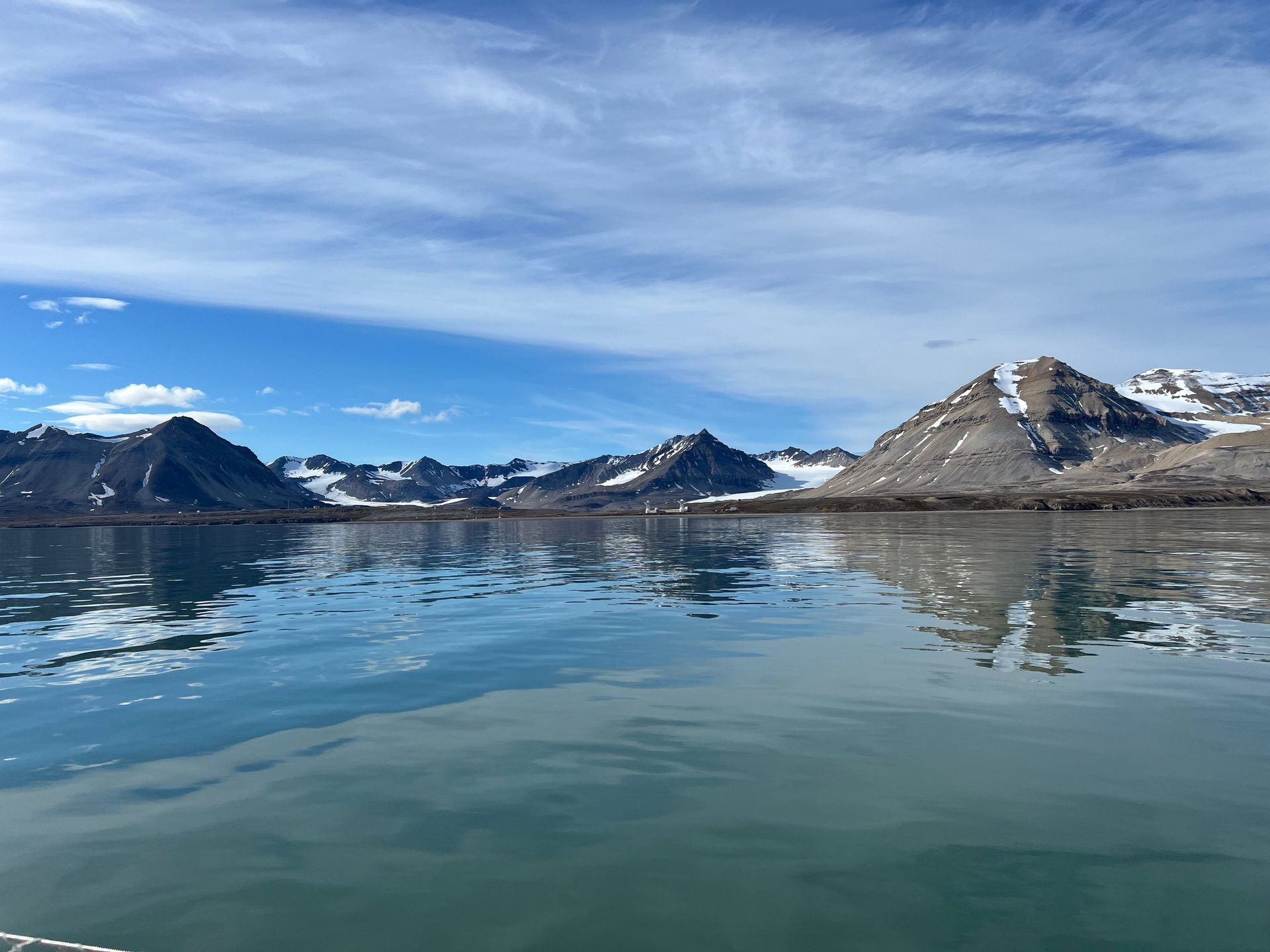
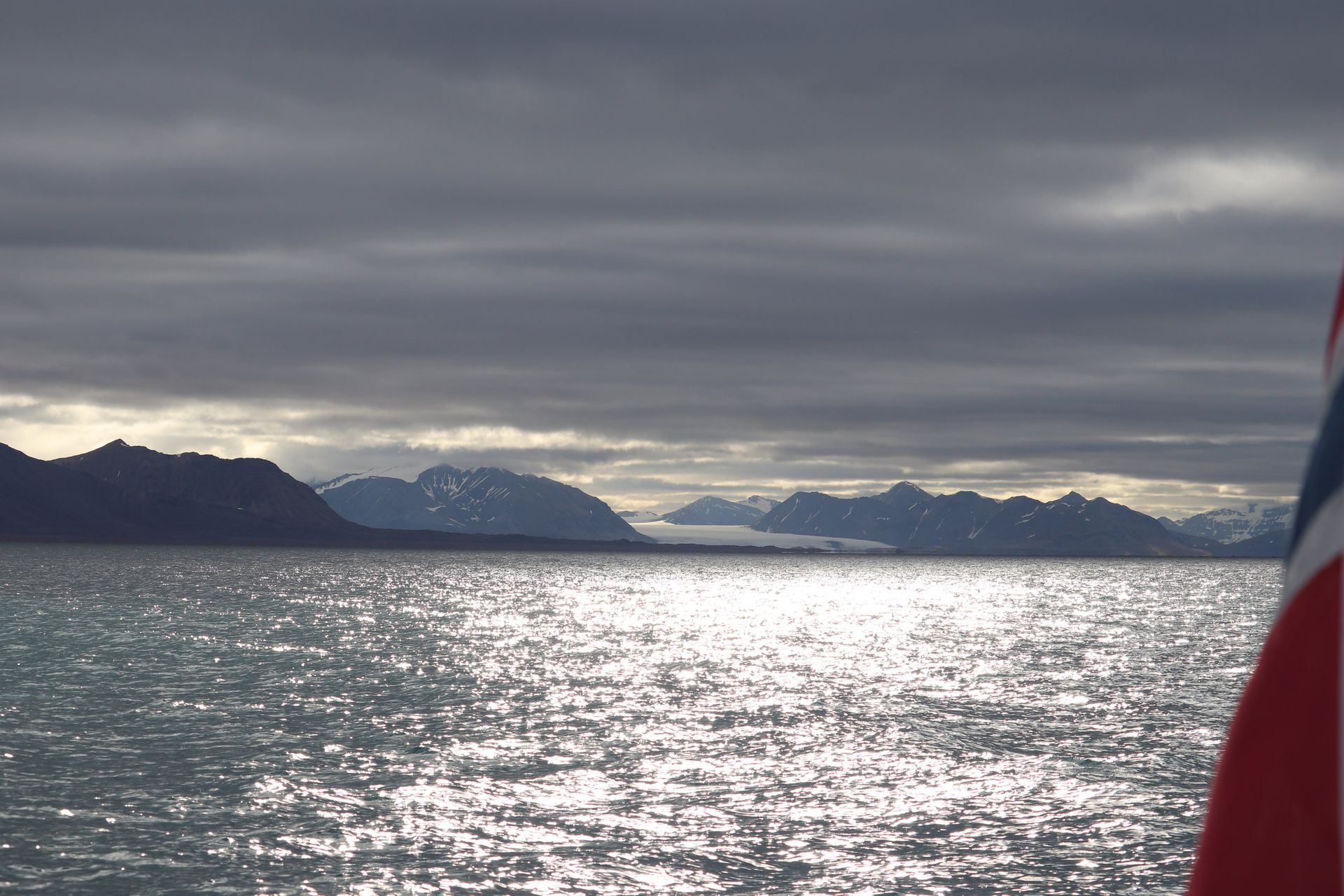
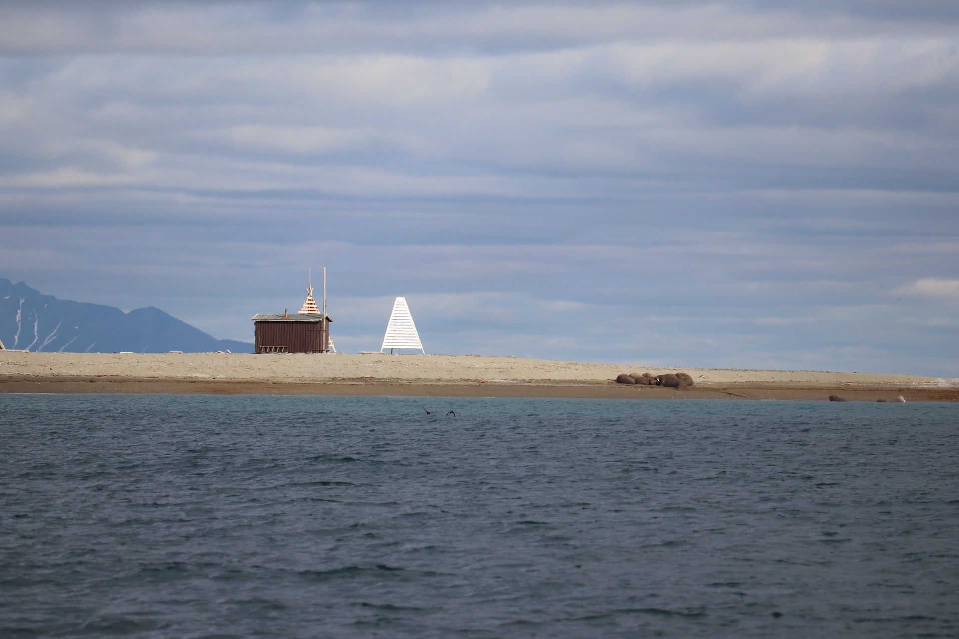
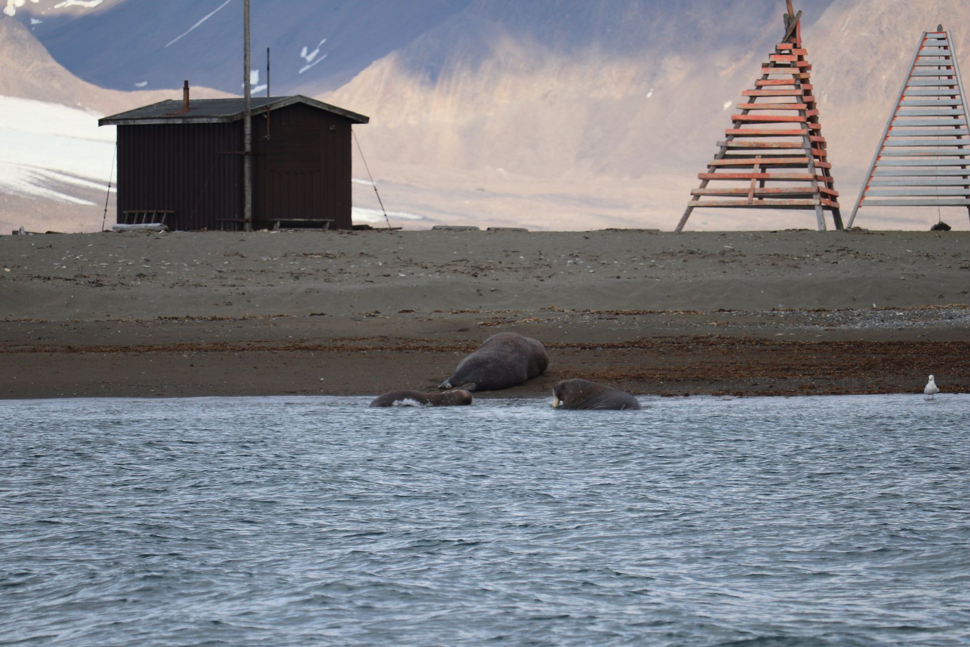
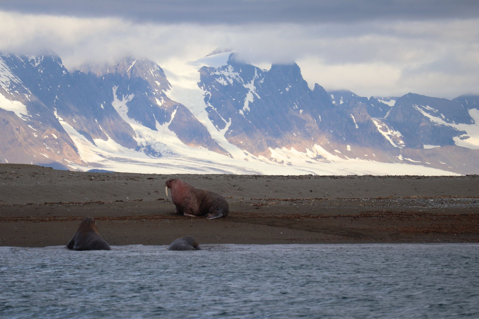
Twenty kilometres of water with three glaciers at the end of it, walrus on the spits and weather that arrives from nowhere.
- Length
- ≈20 km
- Glacier front
- Kongsvegen · Kronebreen
- Walrus
- Protected since 1952
- Reindeer
- Svalbard subspecies
A fjord that is being measured to death
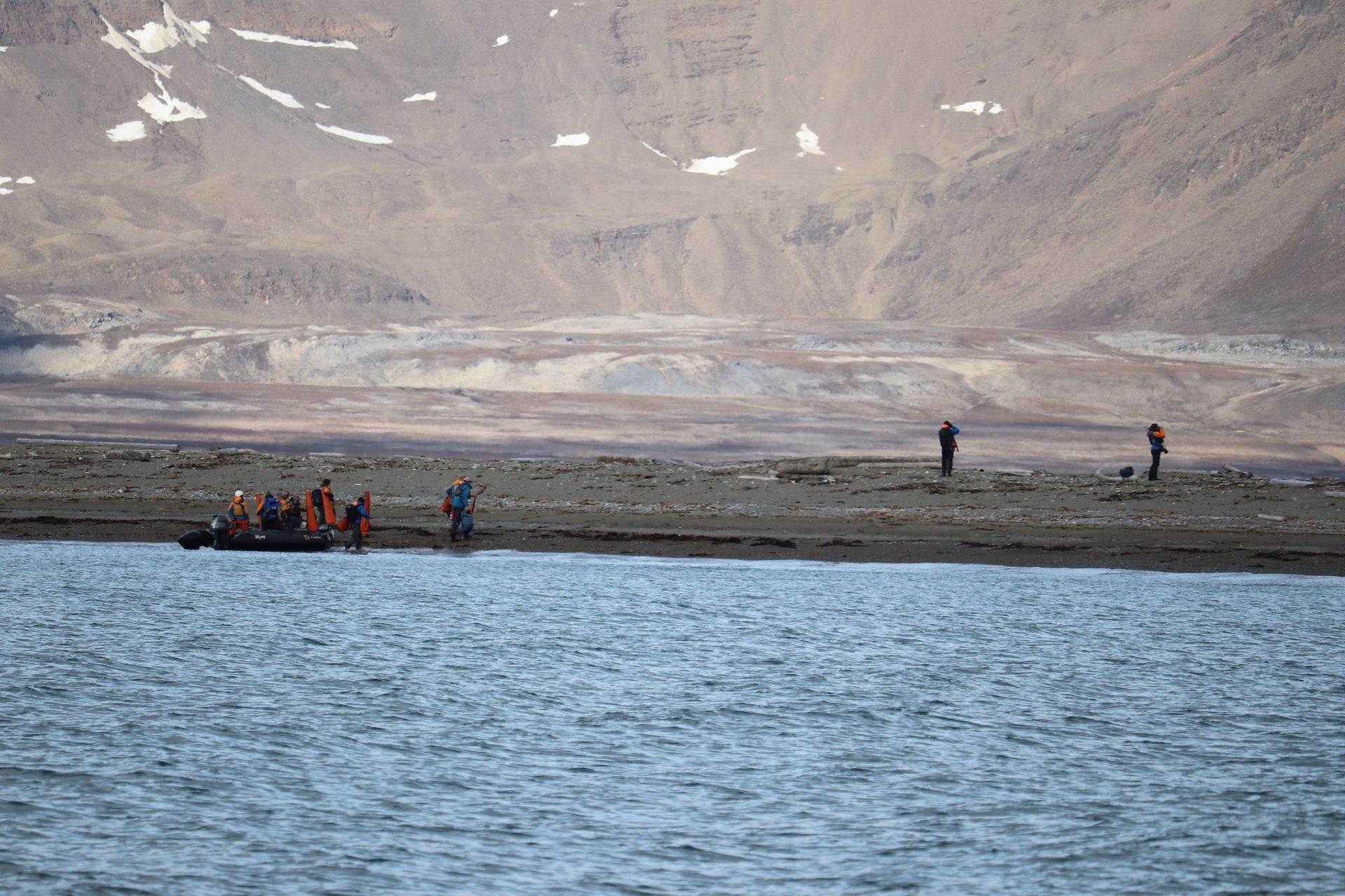
Kongsfjorden is one of the most closely studied fjords on the planet — warm Atlantic water now pushes right to the glacier fronts, and the species list has been shifting north within a single working career. Everything you see here is somebody's dataset.
Animals that should not be able to live here
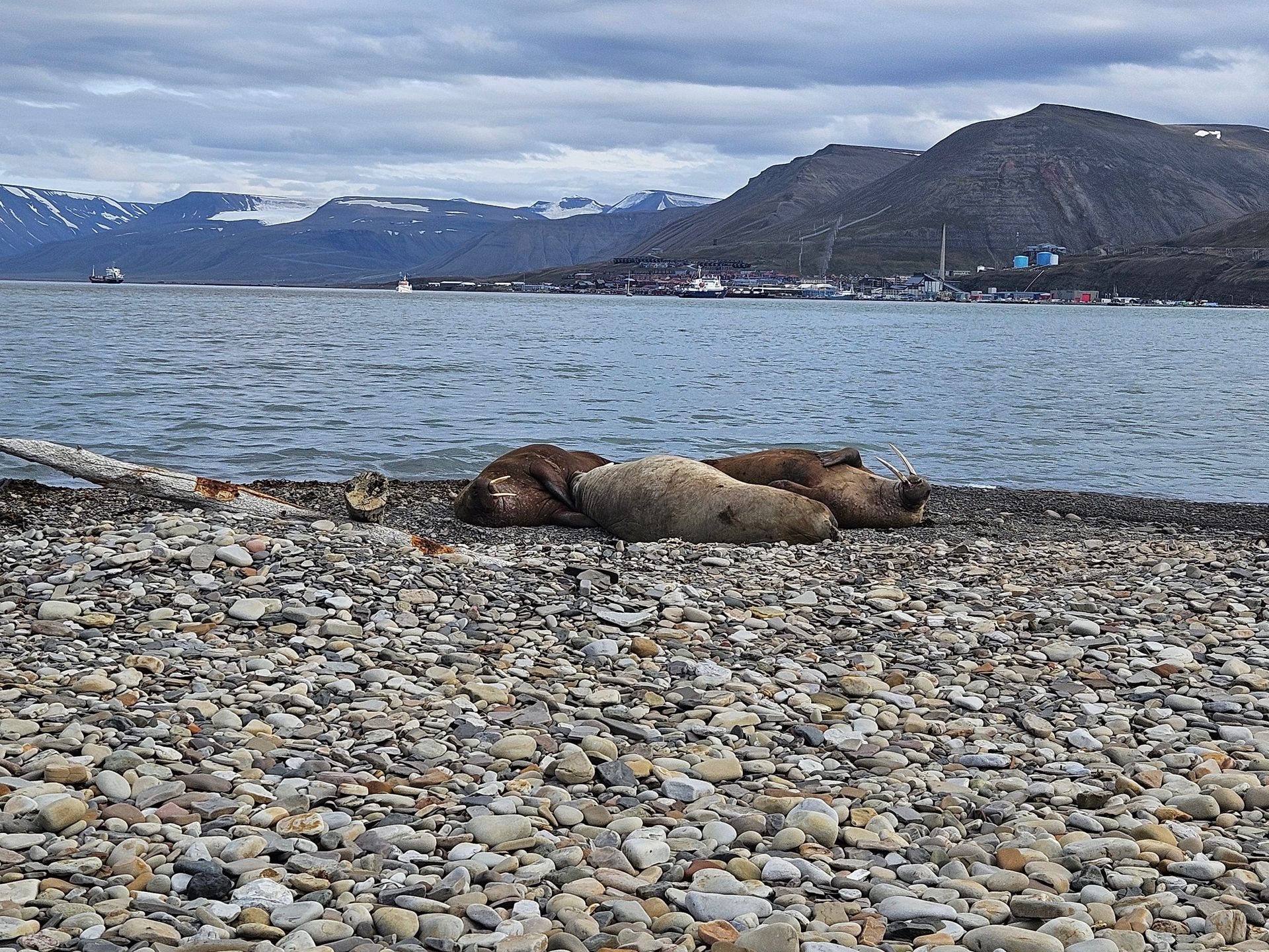
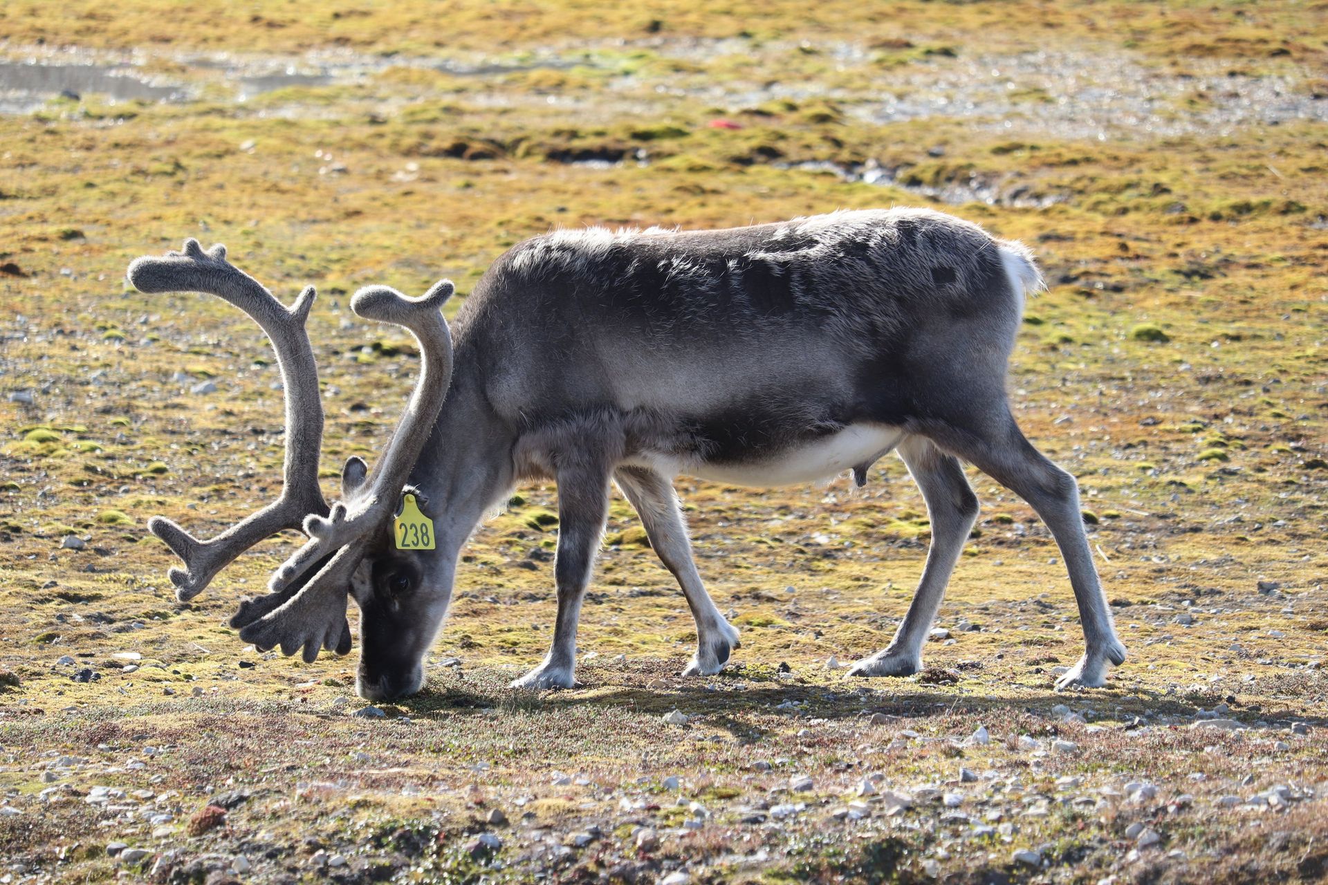
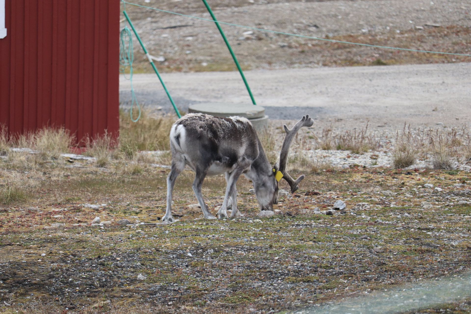
Svalbard reindeer are the smallest in the world: short-legged, thick-bodied and unafraid, because there have never been wolves here to teach them otherwise. Walrus were hunted to near-extinction by the 1950s and protected just in time; the herds on these spits are the recovery.
Barentsburg
Grønfjorden · 78°04′N
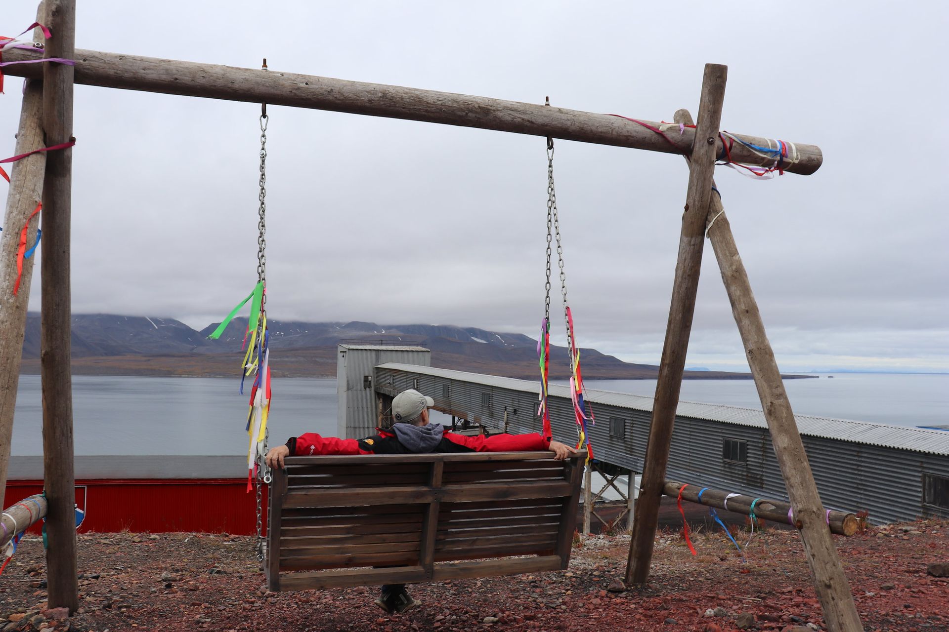
Three hundred people still cutting coal out of a mountain at 78 degrees north, under a Russian flag, on Norwegian soil, because the treaty says they may.
- Latitude
- 78°04′N
- Mining since
- 1932
- Population
- ≈300
- Coal shipped
- ≈100,000 t/yr
- Pool
- Northernmost, still filled
- Pool
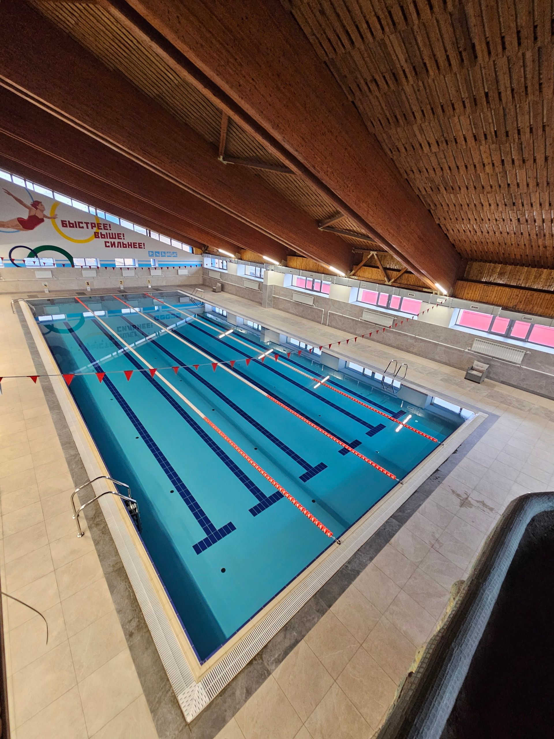
- 25 m, four lanes
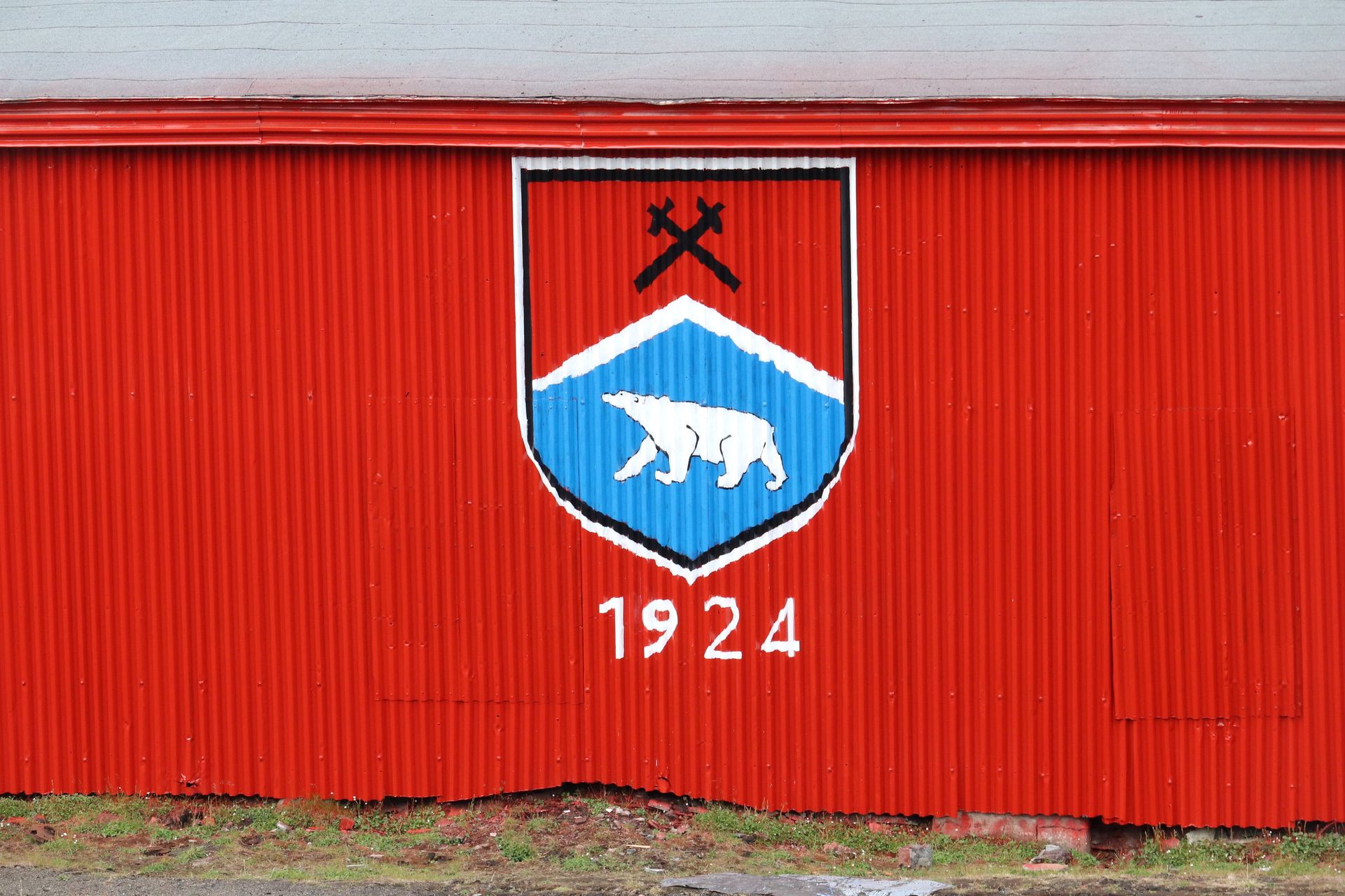
A Soviet town that never stopped
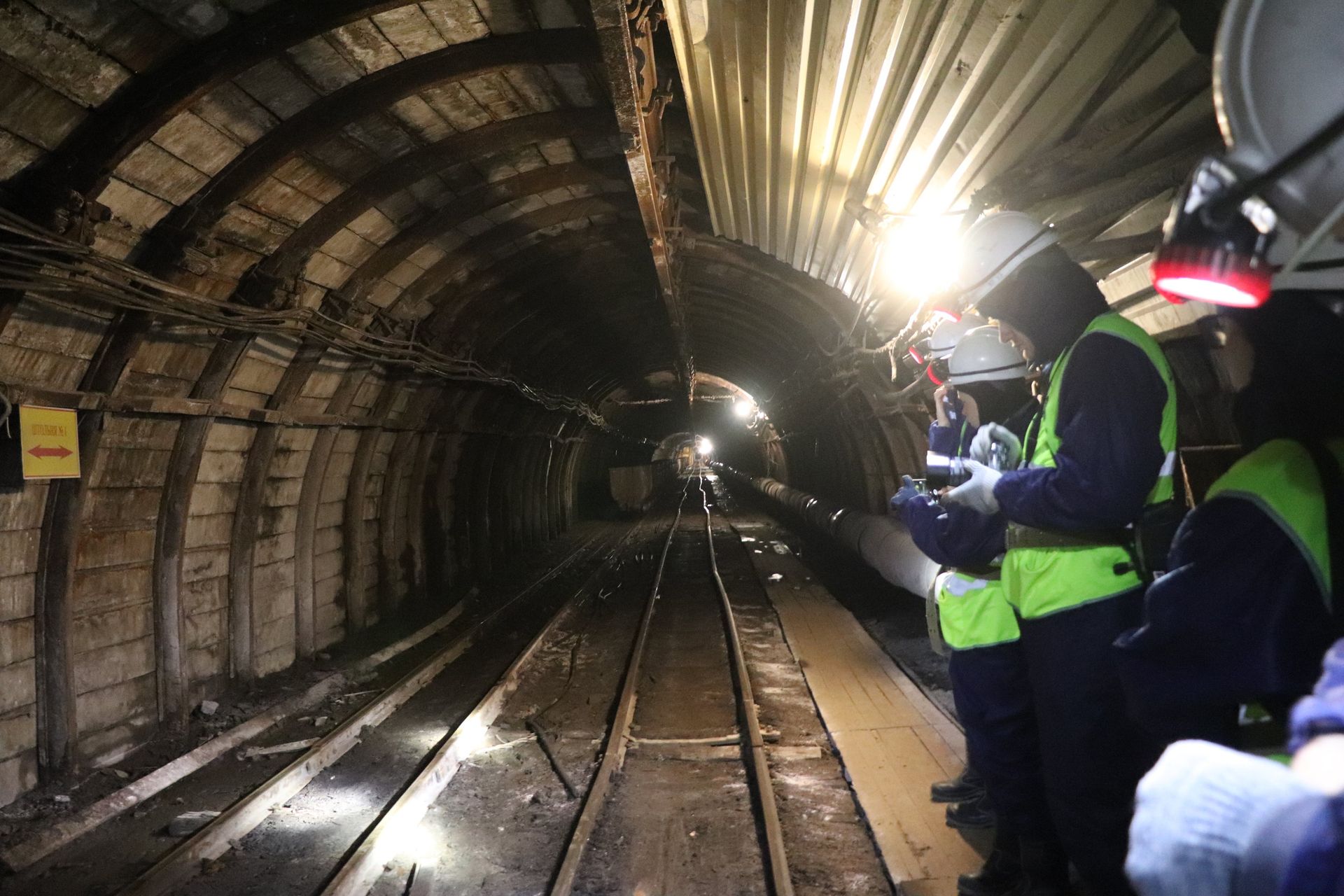
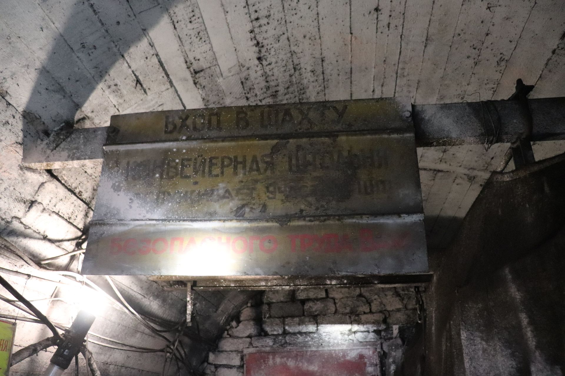
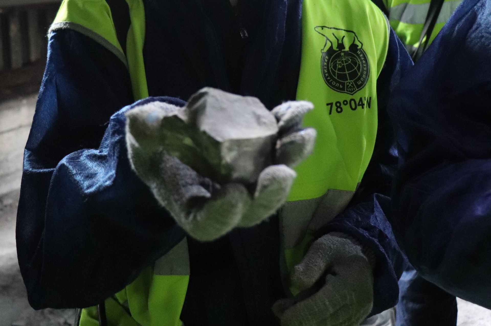
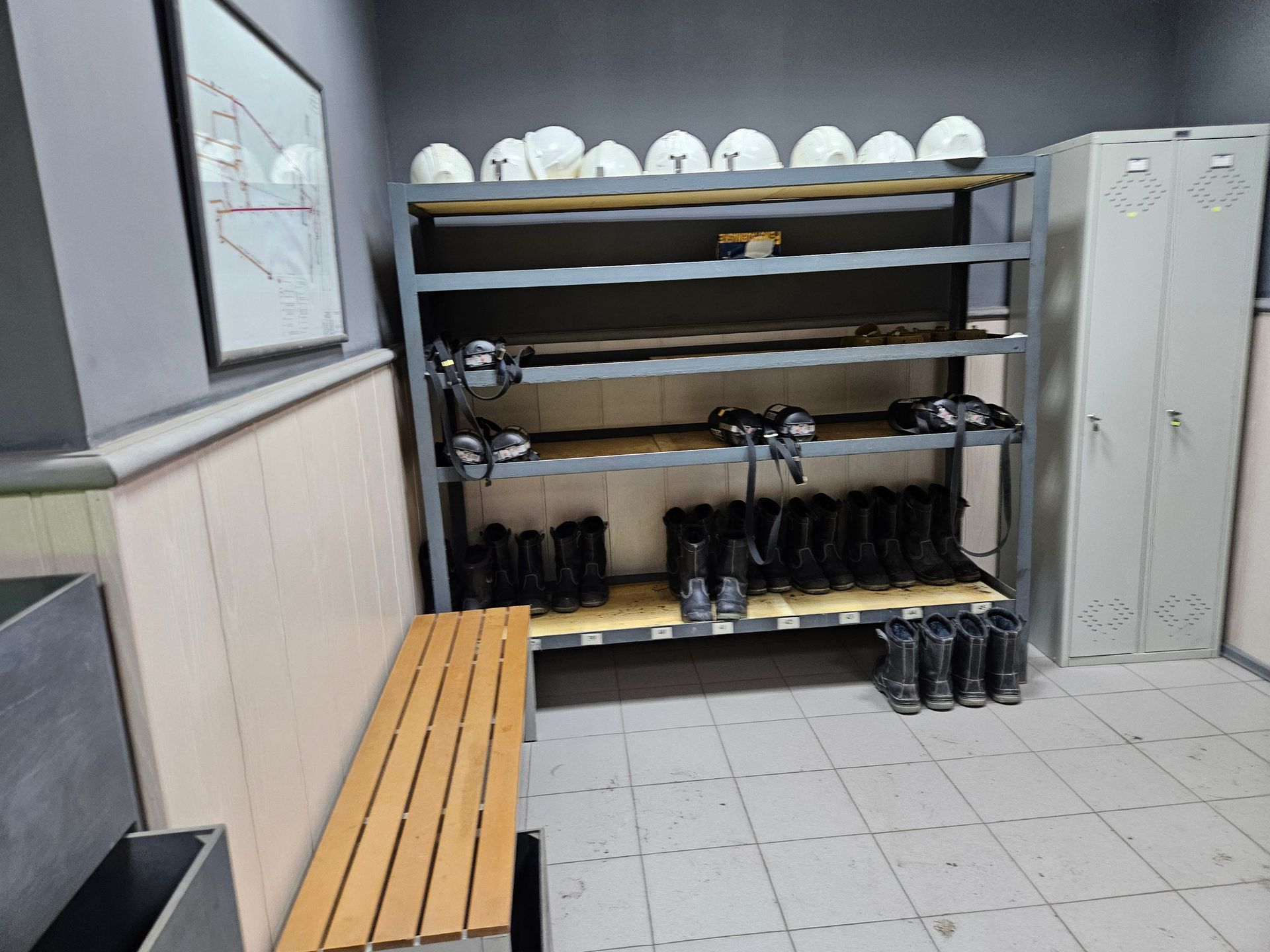
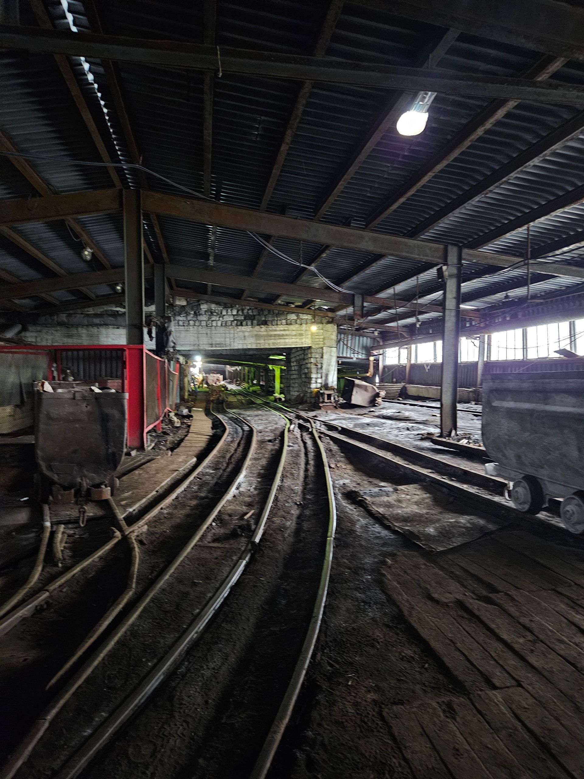
Arktikugol has mined here since 1932. At its peak Barentsburg held over 2,000 people; it holds about 300 now, flown in on rotation from Russia and Ukraine, and it still ships roughly 100,000 tonnes of coal a year to Denmark, Portugal and Spain. This is not a museum: the mine works, the power station burns its own coal, and the greenhouse grows the salad.
What a town needs at 78°N
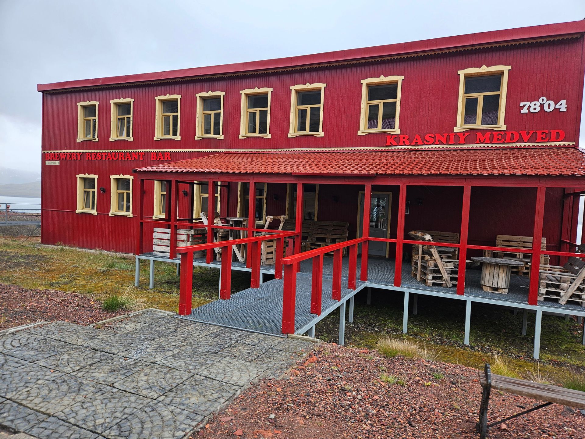
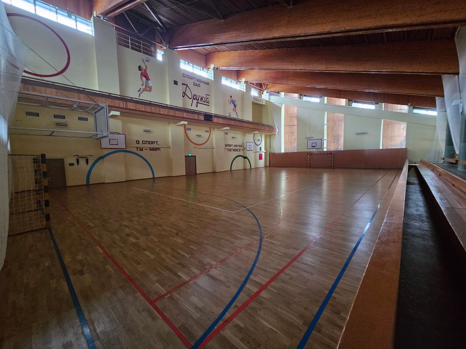
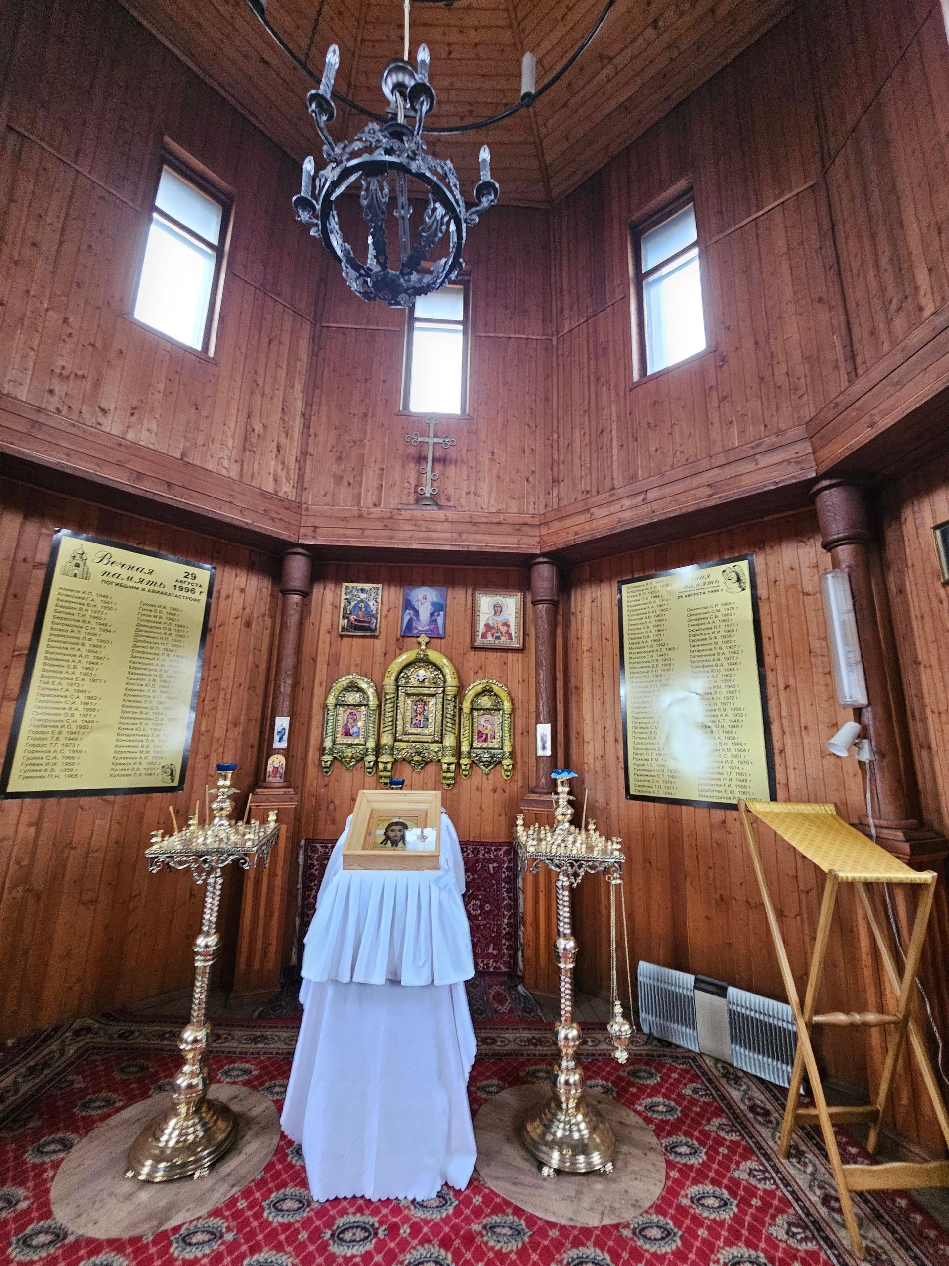
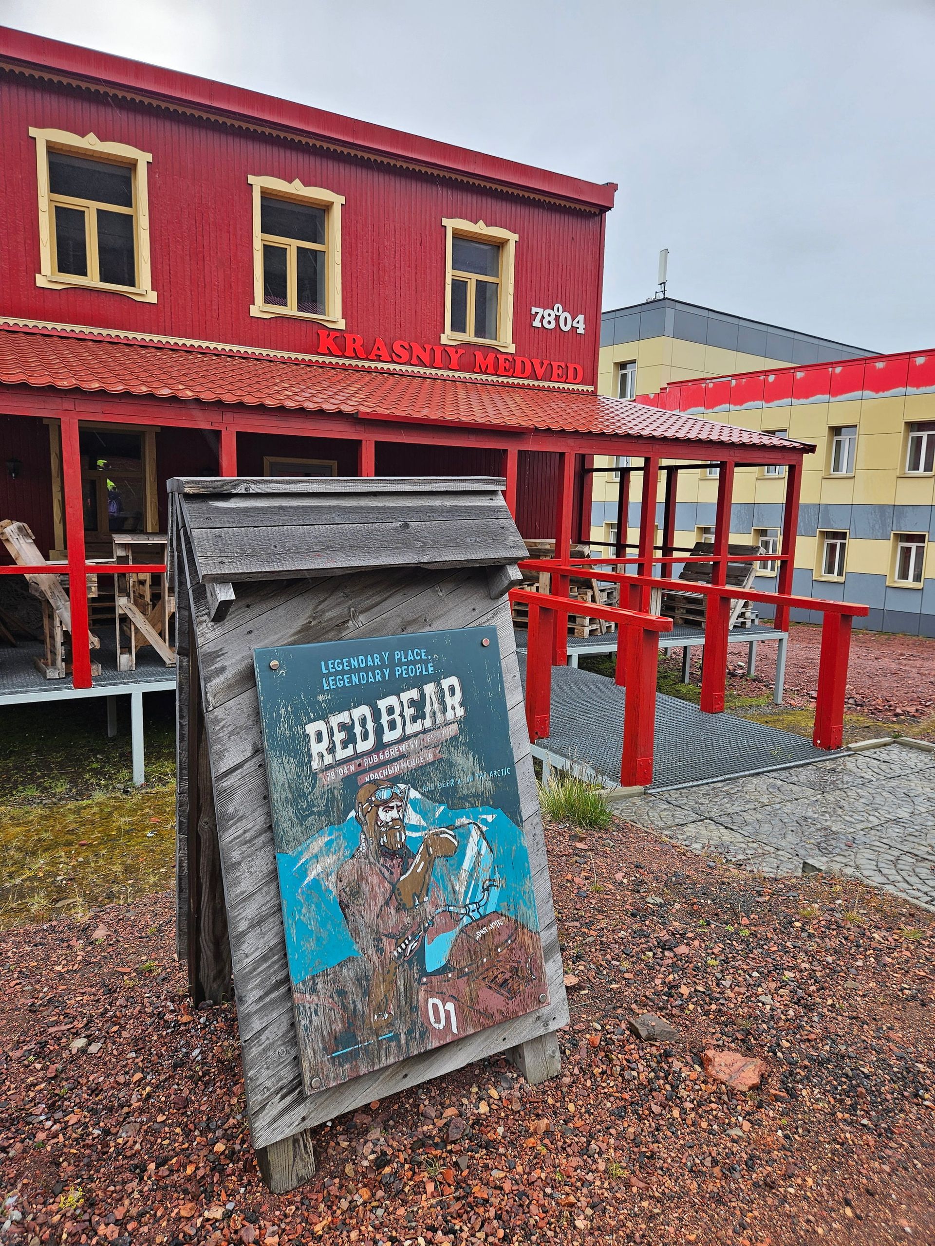
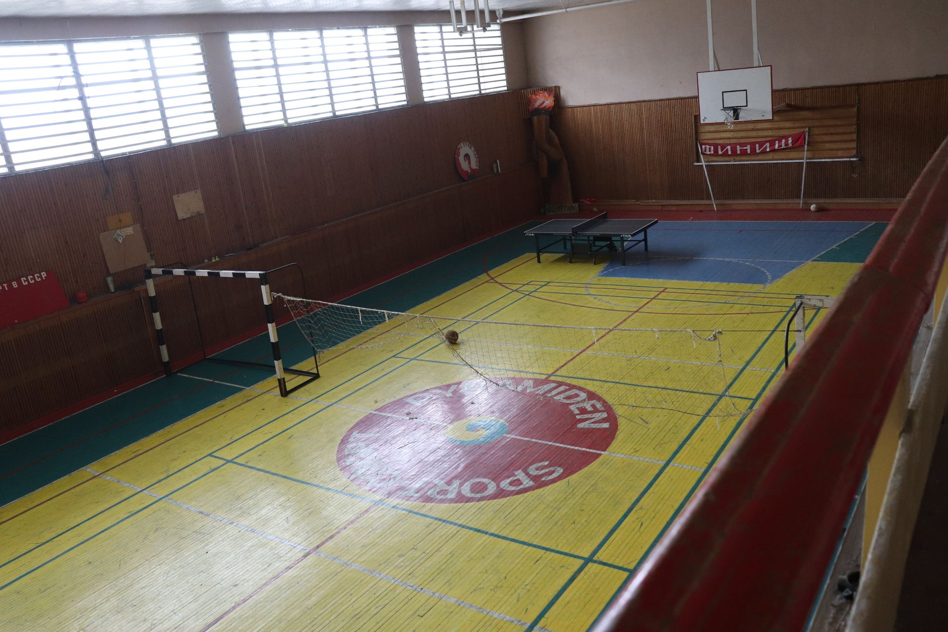
The sports complex holds a 25-metre, four-lane freshwater pool, a gym and a sprung-floor hall — a serious municipal swimming bath for a settlement of three hundred people, kept running through the polar night. Beside it is Krasny Medved, the archipelago's first brewery. There is a school, a canteen, a chapel and a cultural centre, because a place this remote has to supply everything a life needs or nobody stays.
The bust and the slogan
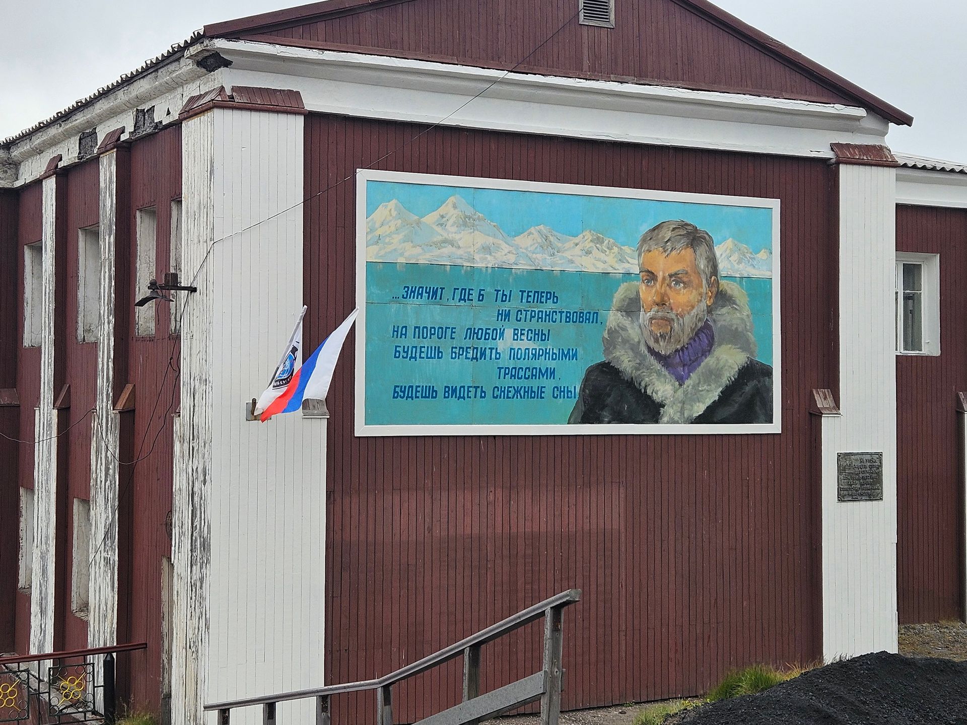
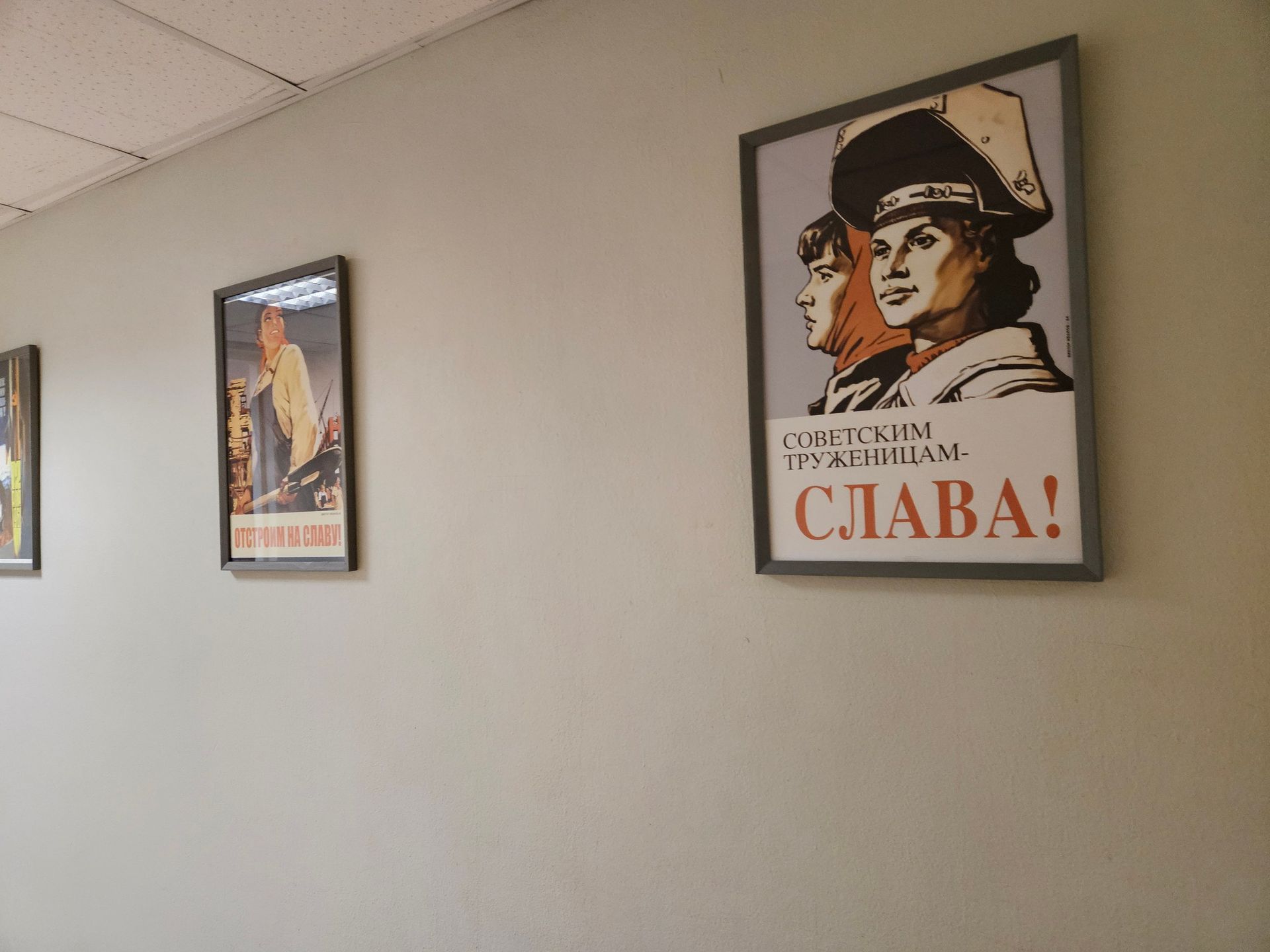
The Lenin bust on the main square is the second-northernmost in the world, and the sign behind it still reads *Our goal — communism*. It survived because taking it down was never worth the argument.
The ballerina's town
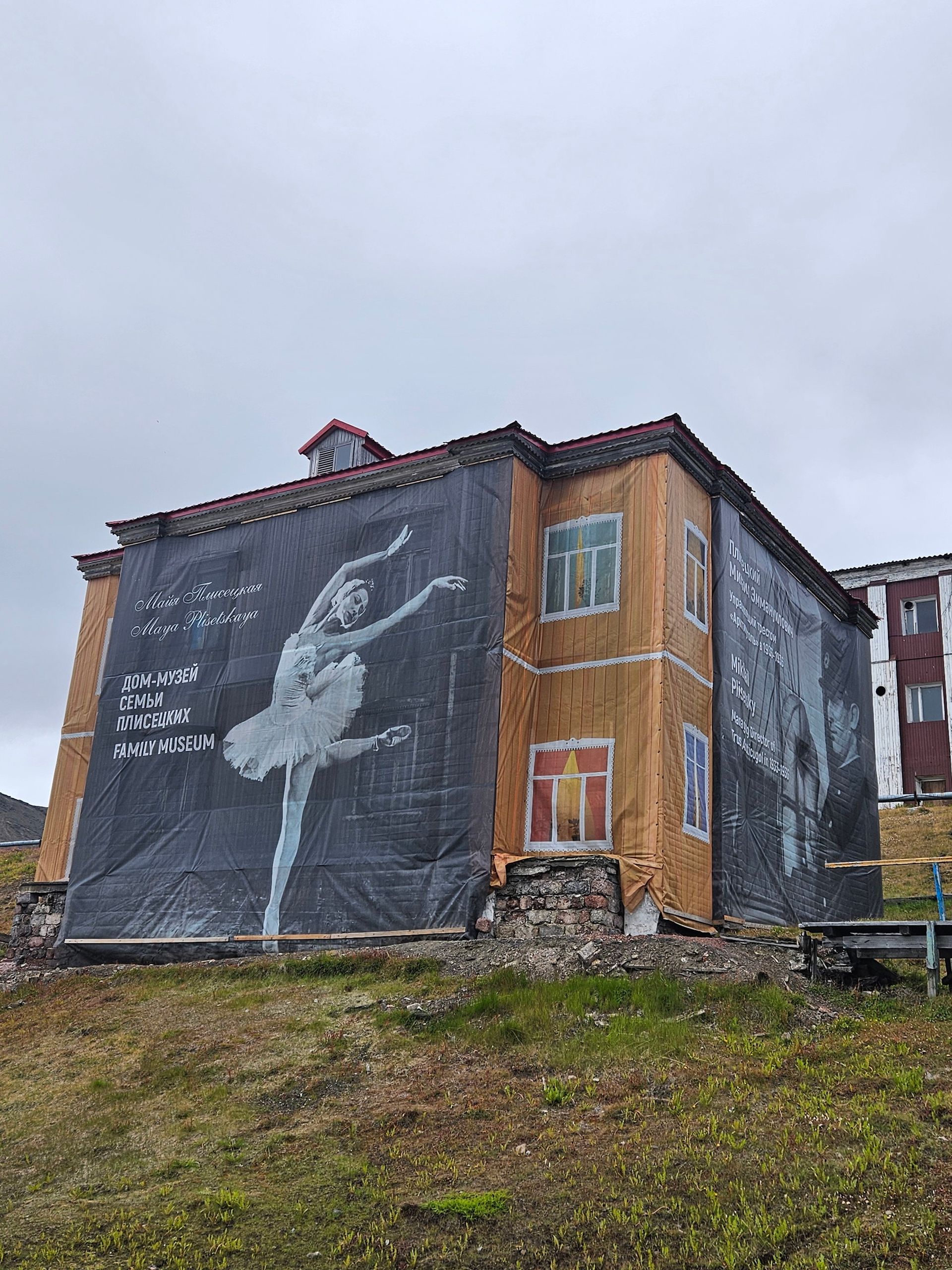
Maya Plisetskaya lived here as a child between 1932 and 1936, while her father Mikhail ran the Arktikugol trust and served as Soviet consul. She gave her first stage performance in Barentsburg. He was executed in the Great Purge in January 1938; she went on to become the defining ballerina of the Bolshoi. Their house is now a museum.


Pyramiden
Billefjorden · Abandoned 1998
A model Soviet town for a thousand people, built where nothing grows, emptied in a single season and left standing because removing it would have cost more.
- Founded
- 1910, Swedish
- Sold to USSR
- 1927
- Peak population
- ≈1,000
- Last coal
- 31 March 1998
- Caretakers now
- ≈6 in summer
Built to prove a point
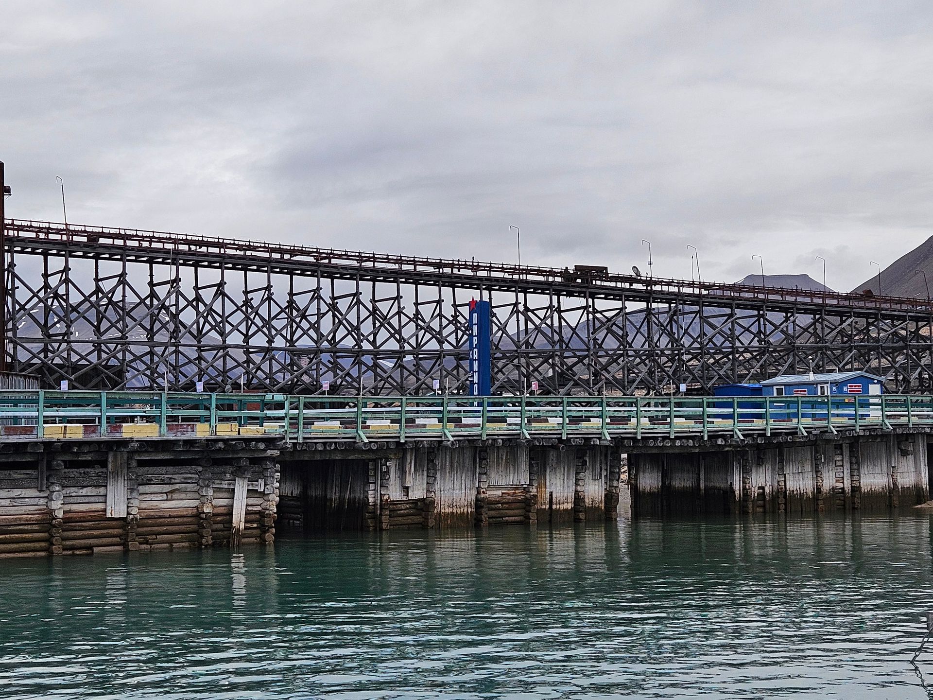
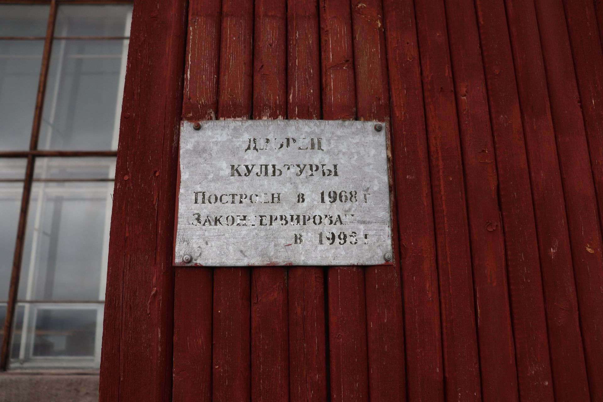
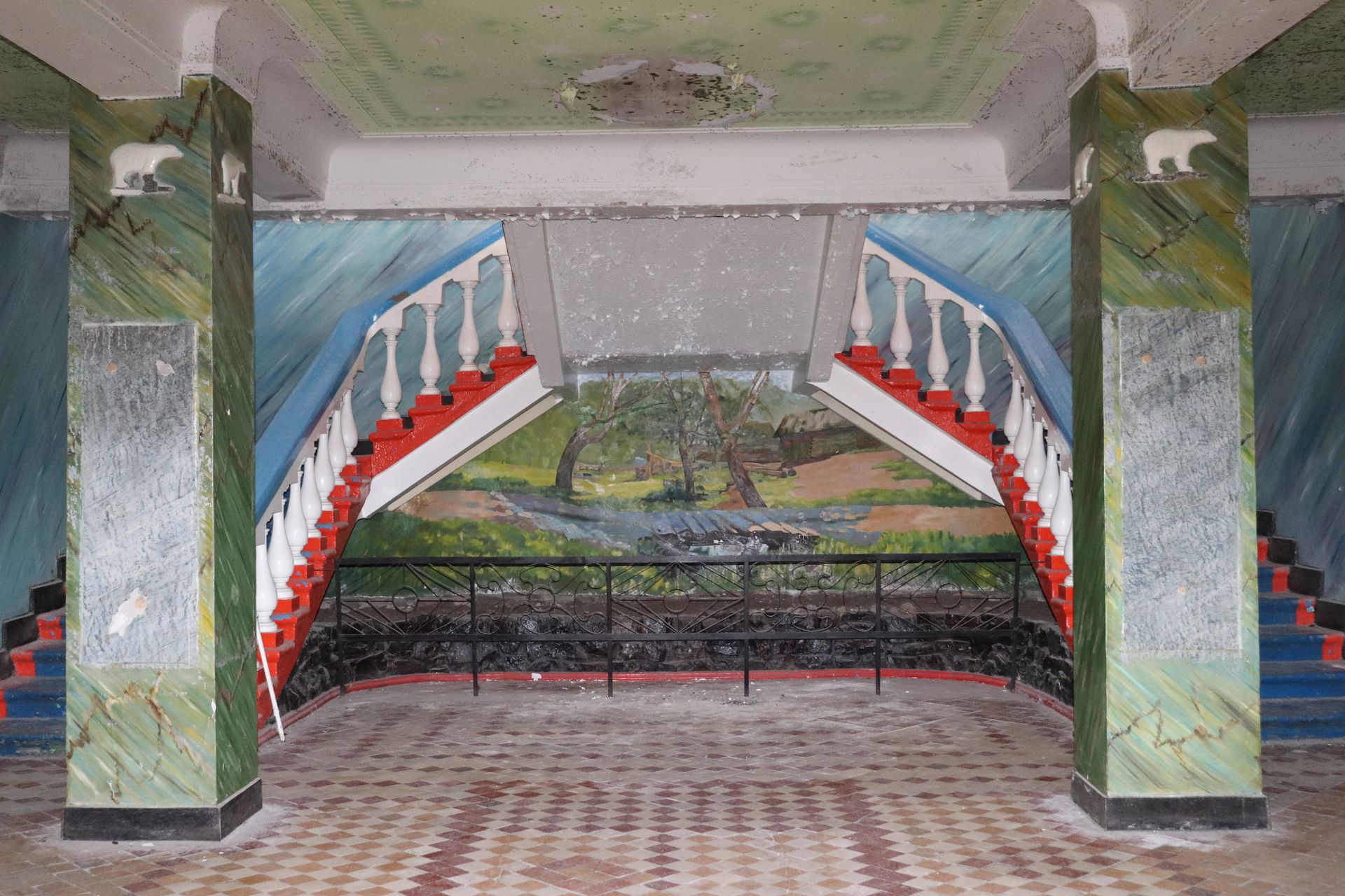
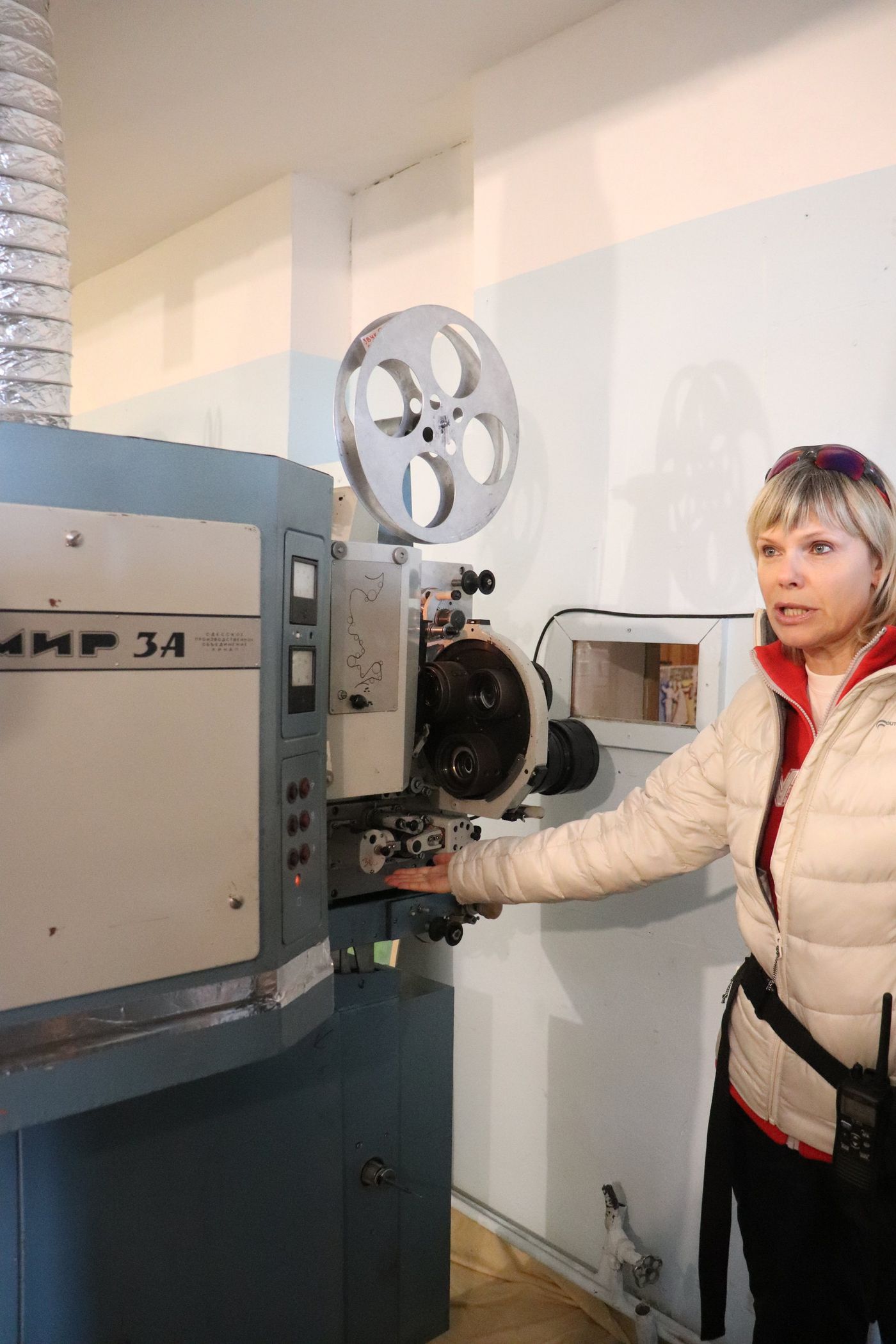
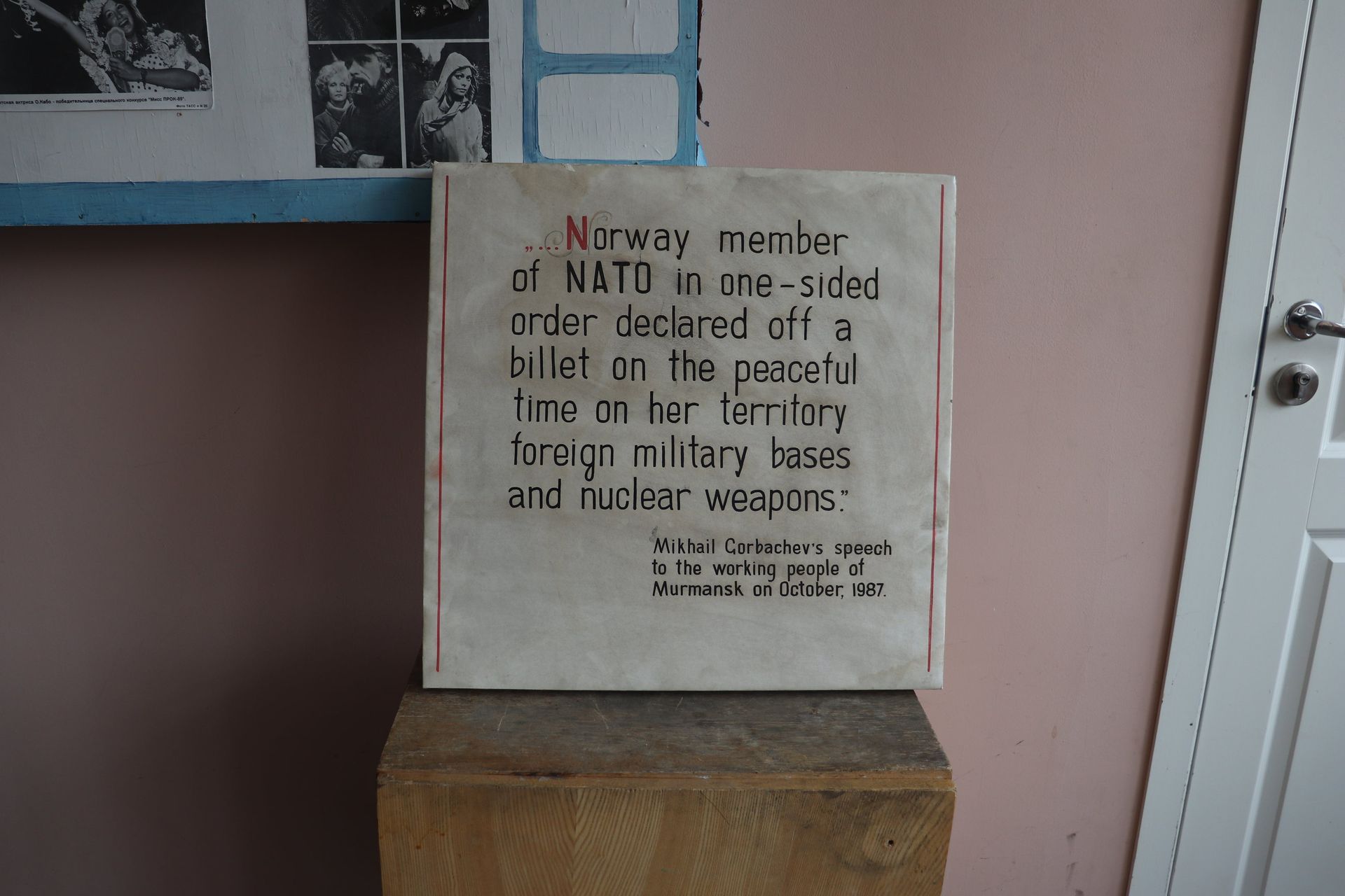
Sweden founded Pyramiden in 1910 and sold it to the Soviet Union in 1927. What Arktikugol built here was not a mining camp but an argument: a Culture Palace, a heated swimming pool, a greenhouse, a stage, a library, and soil shipped in by boat from Ukraine so that grass would grow in the square. Miners competed for postings.
Why it stopped
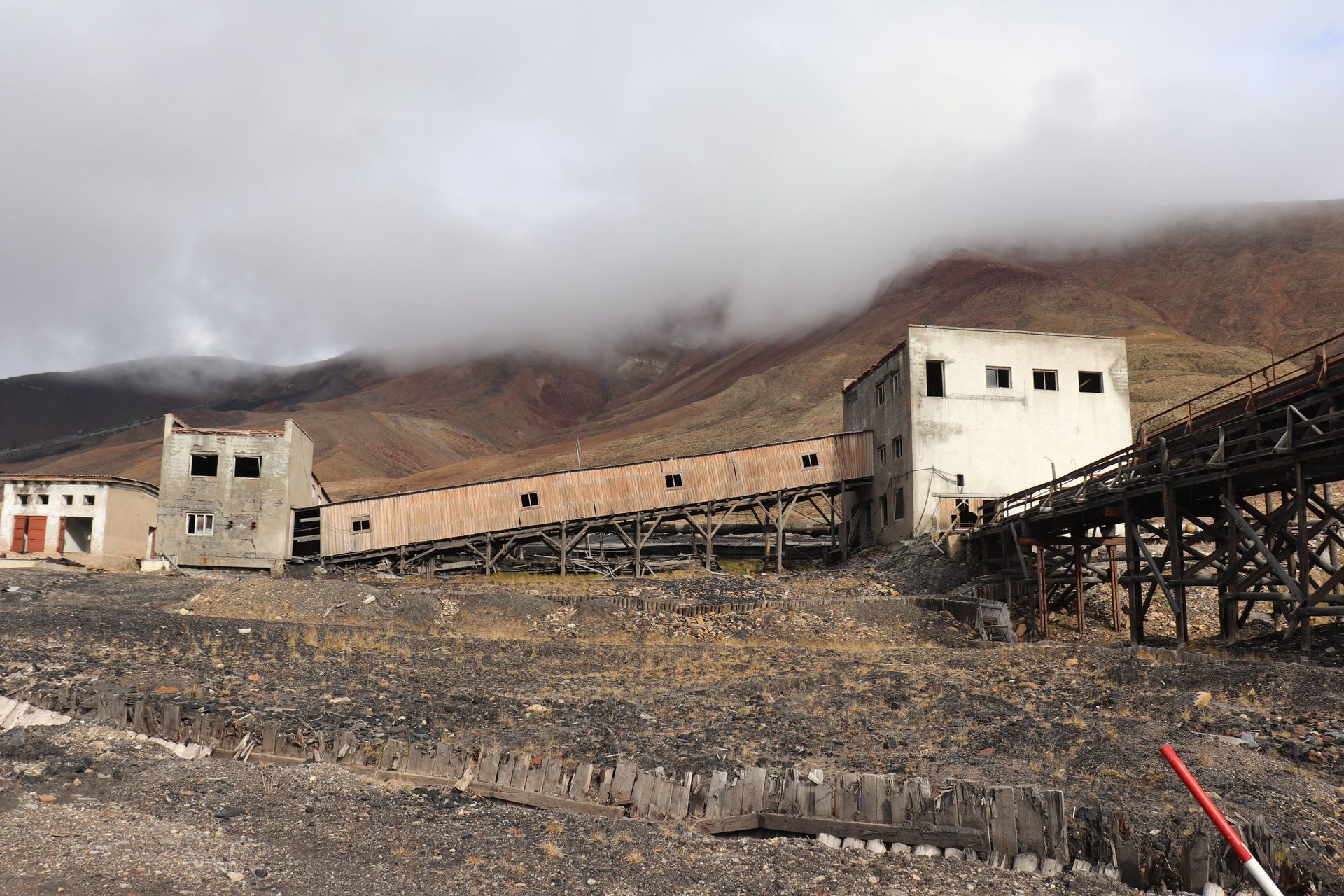
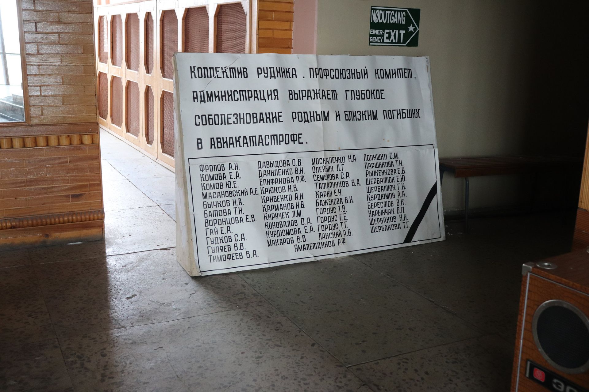
The coal was poor and the mine never paid. Then in August 1996 a chartered flight from Moscow carrying miners and their families flew into Operafjellet on approach to Longyearbyen and killed all 141 people aboard, most of them from these buildings. The Soviet Union was already gone and the money with it. The last coal came up on 31 March 1998 and the town was empty by October.
Kept by the cold
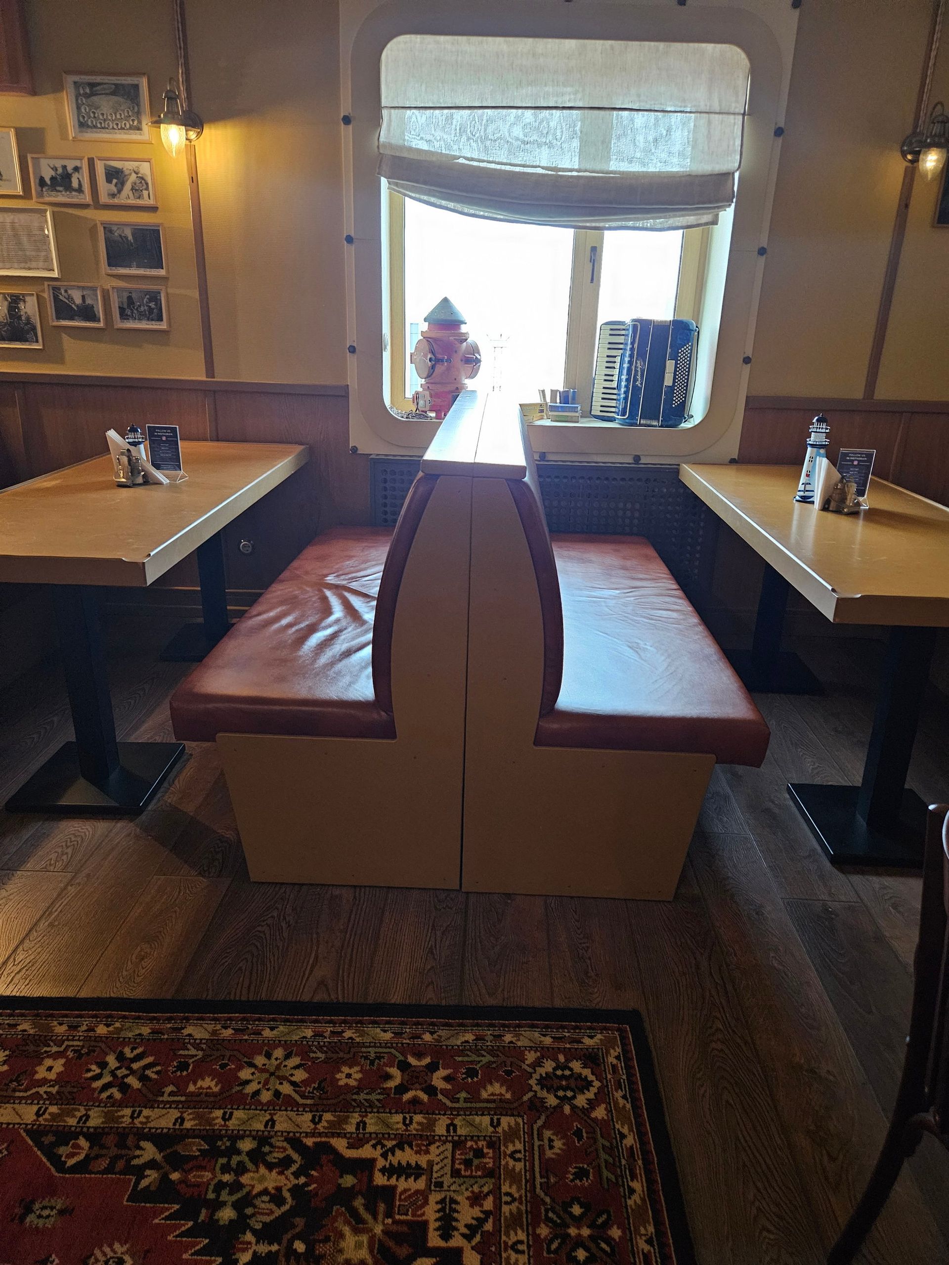
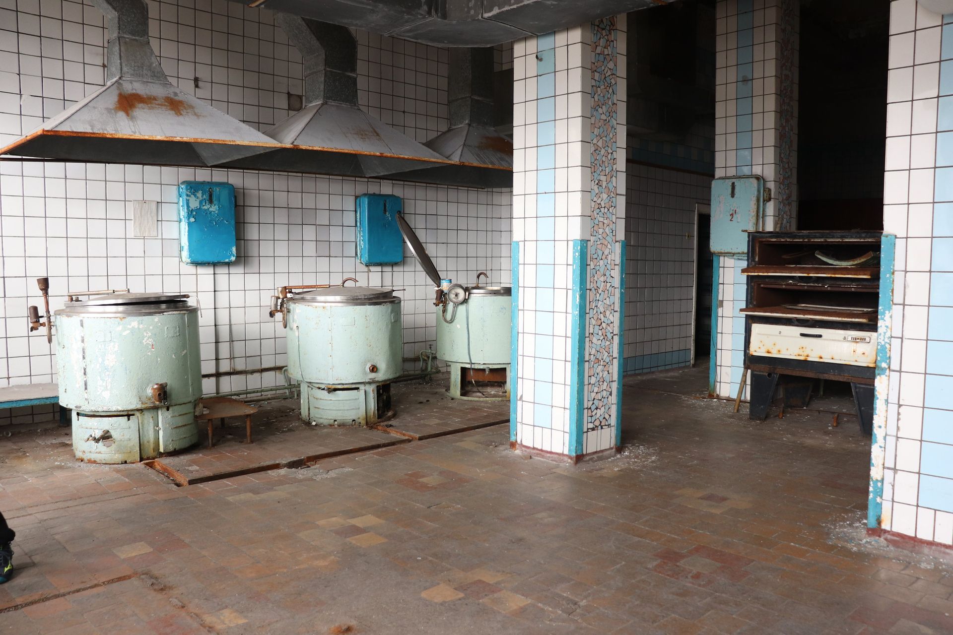
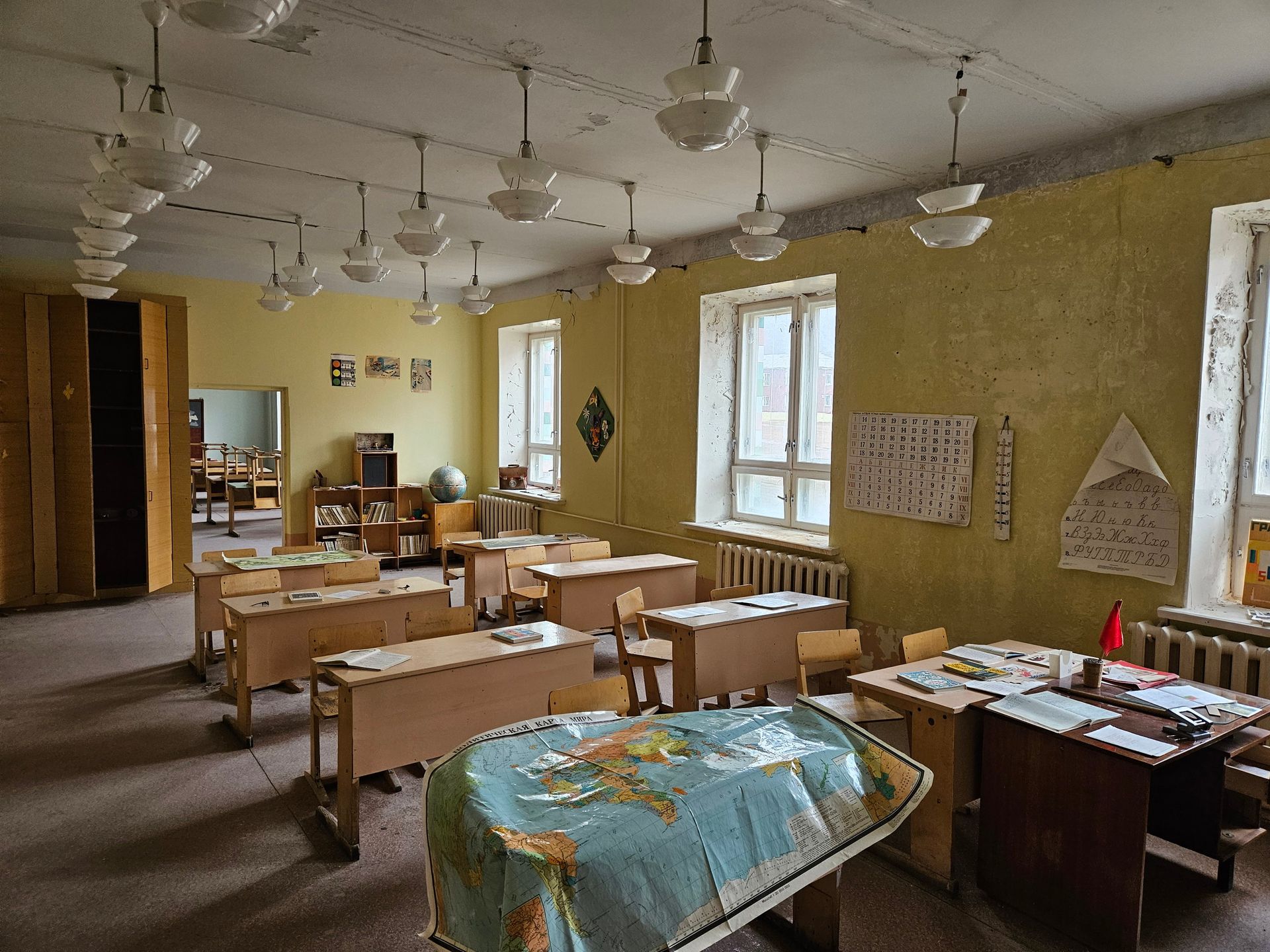
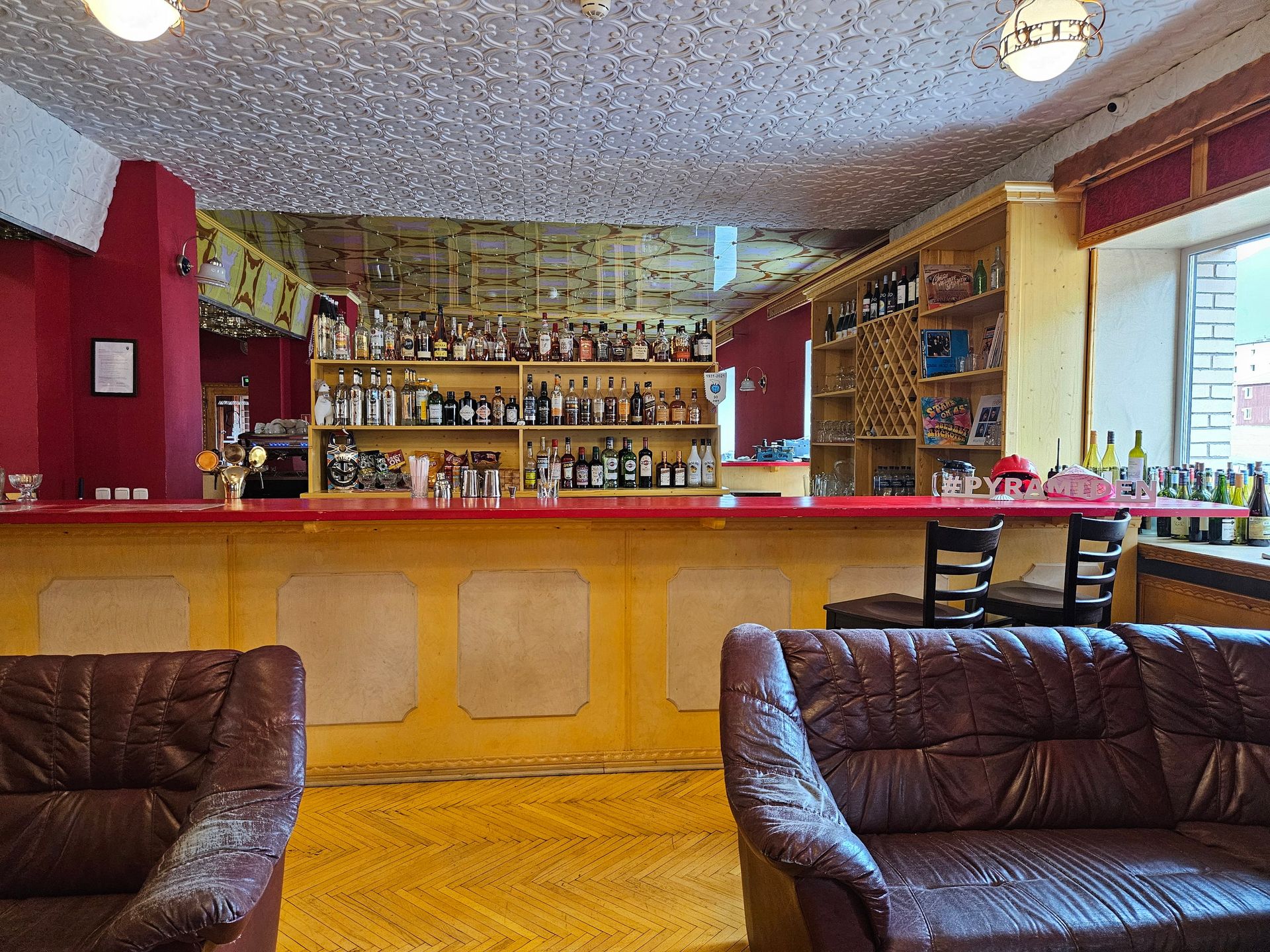
Nothing was packed. Dishes stayed on the canteen shelves and sheets stayed folded on the beds, and the dry Arctic air has held it all in place for nearly thirty years. A handful of caretakers live here through the summer now, running a hotel in the old block — the town is inhabited again, just barely.
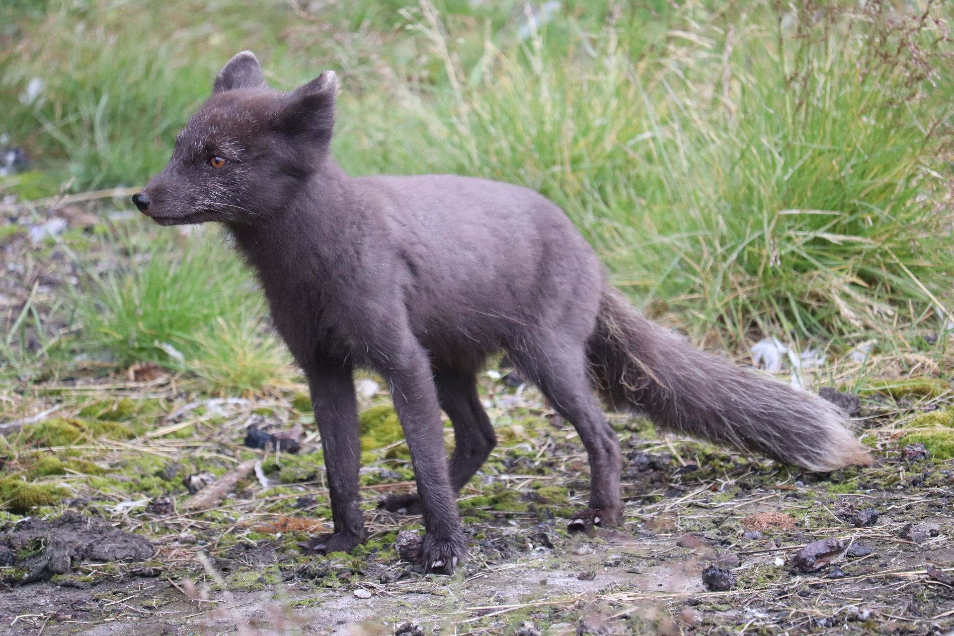
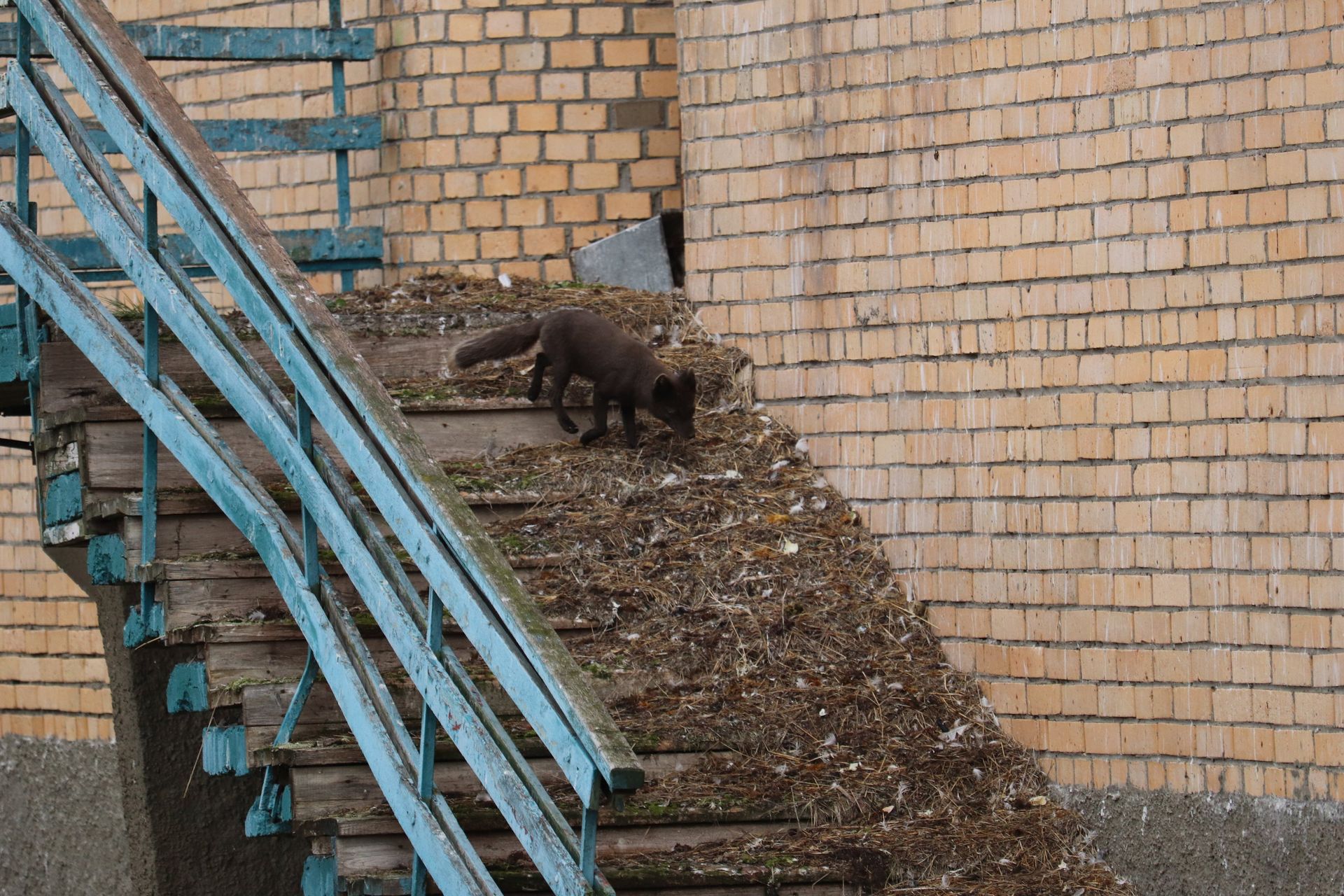
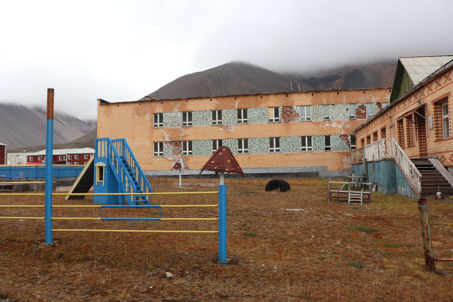
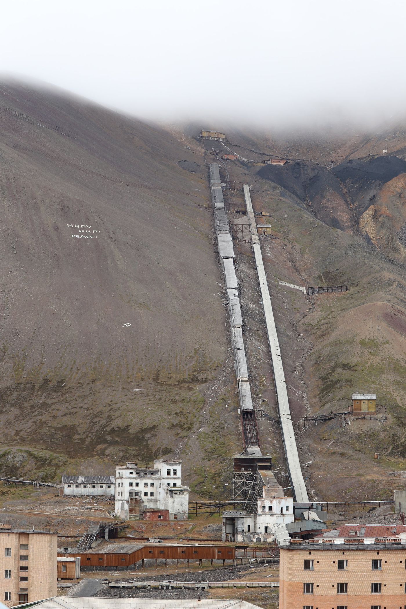
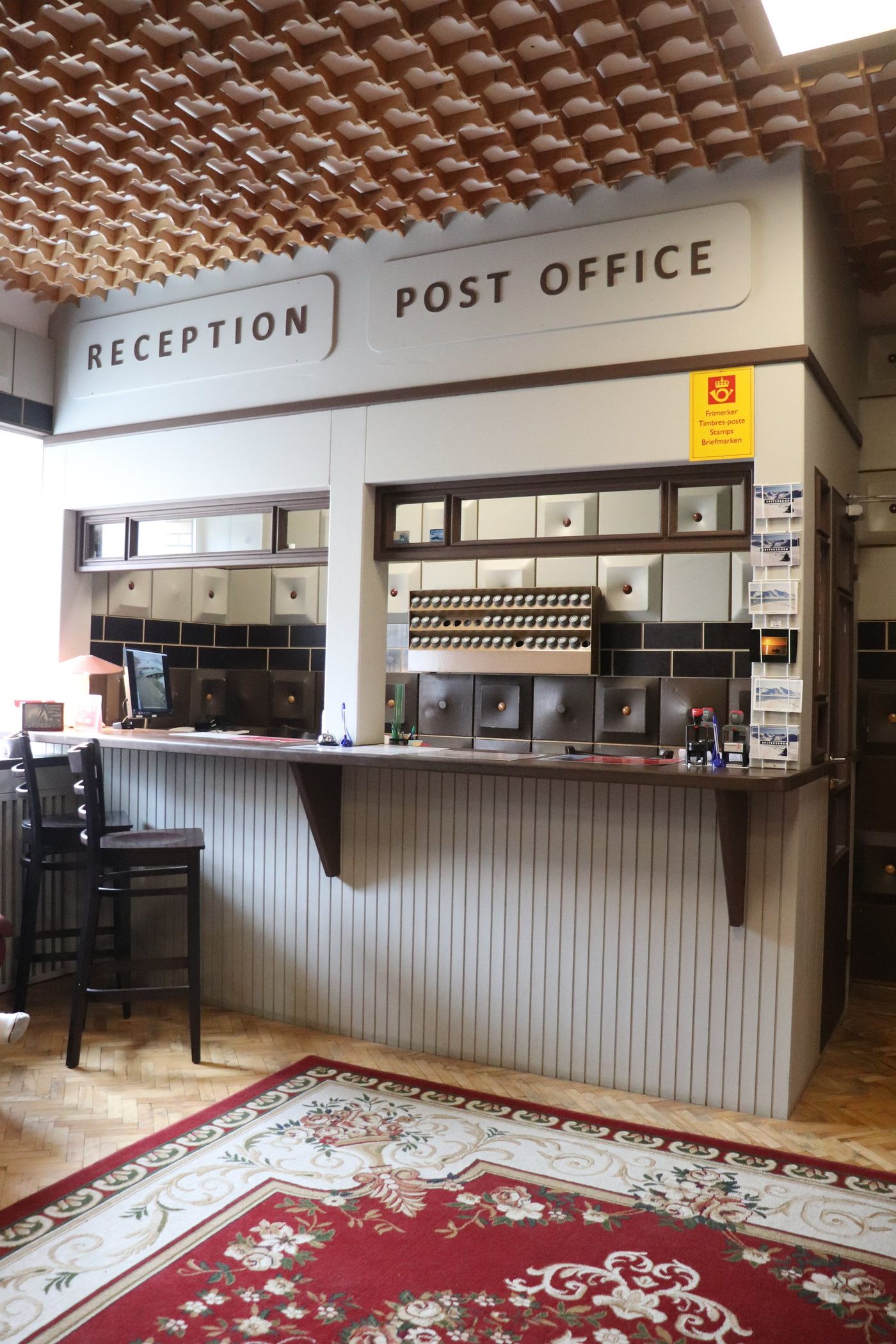
Behind the Doors
Pyramiden, inside
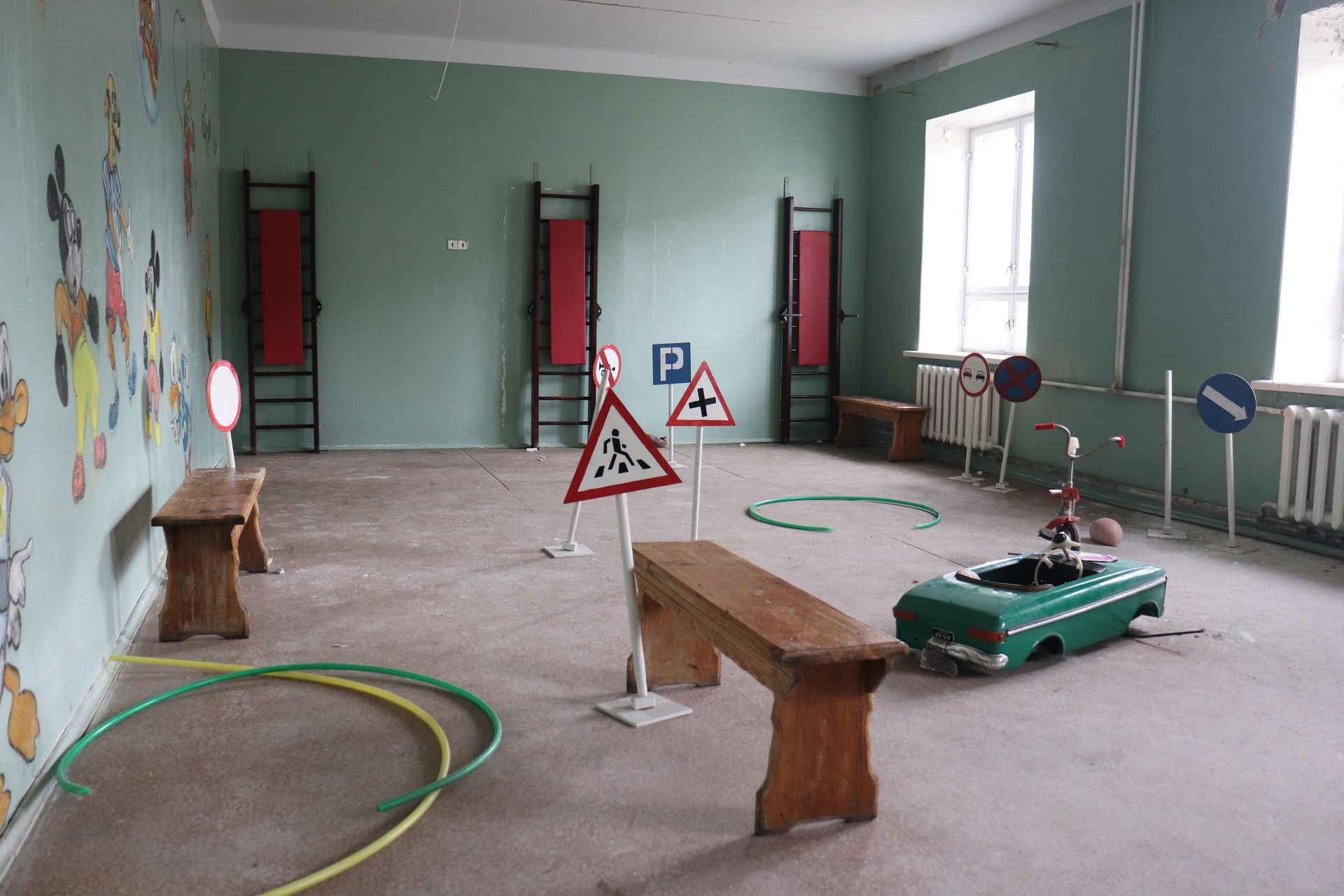
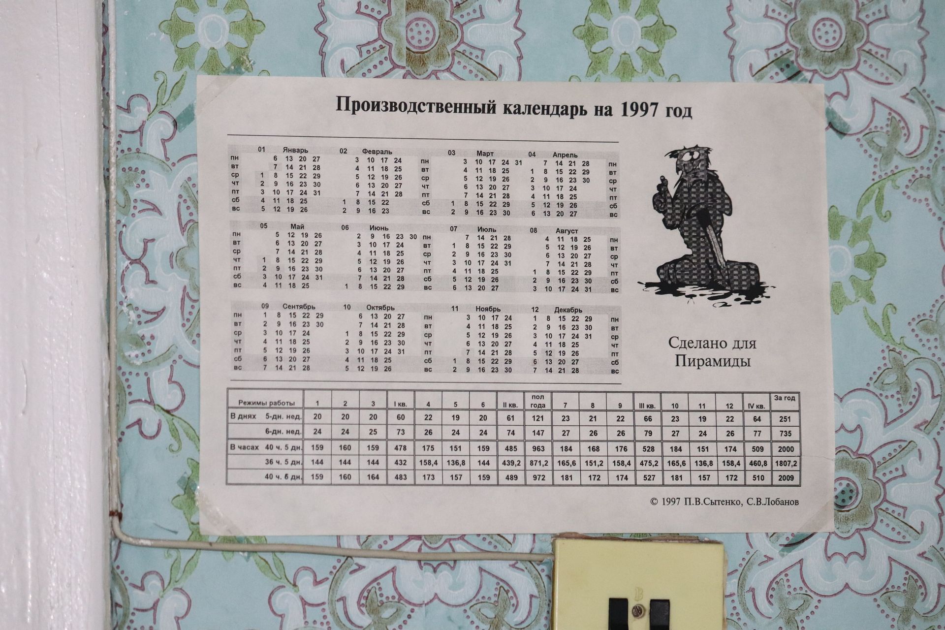
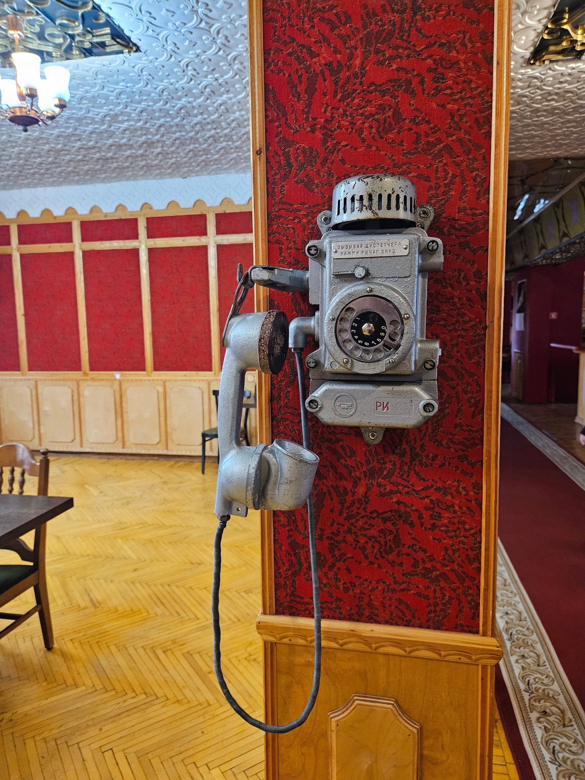
The pool was drained, the piano left on the stage, and a calendar for 1997 is still pinned to the wall where somebody stopped turning the pages.
- Culture Palace
- Opened 1970s
- Grand piano
- Red October, still in tune
- Pool
- 25 m, drained
- Calendar
- 1997
- School closed
- 1998
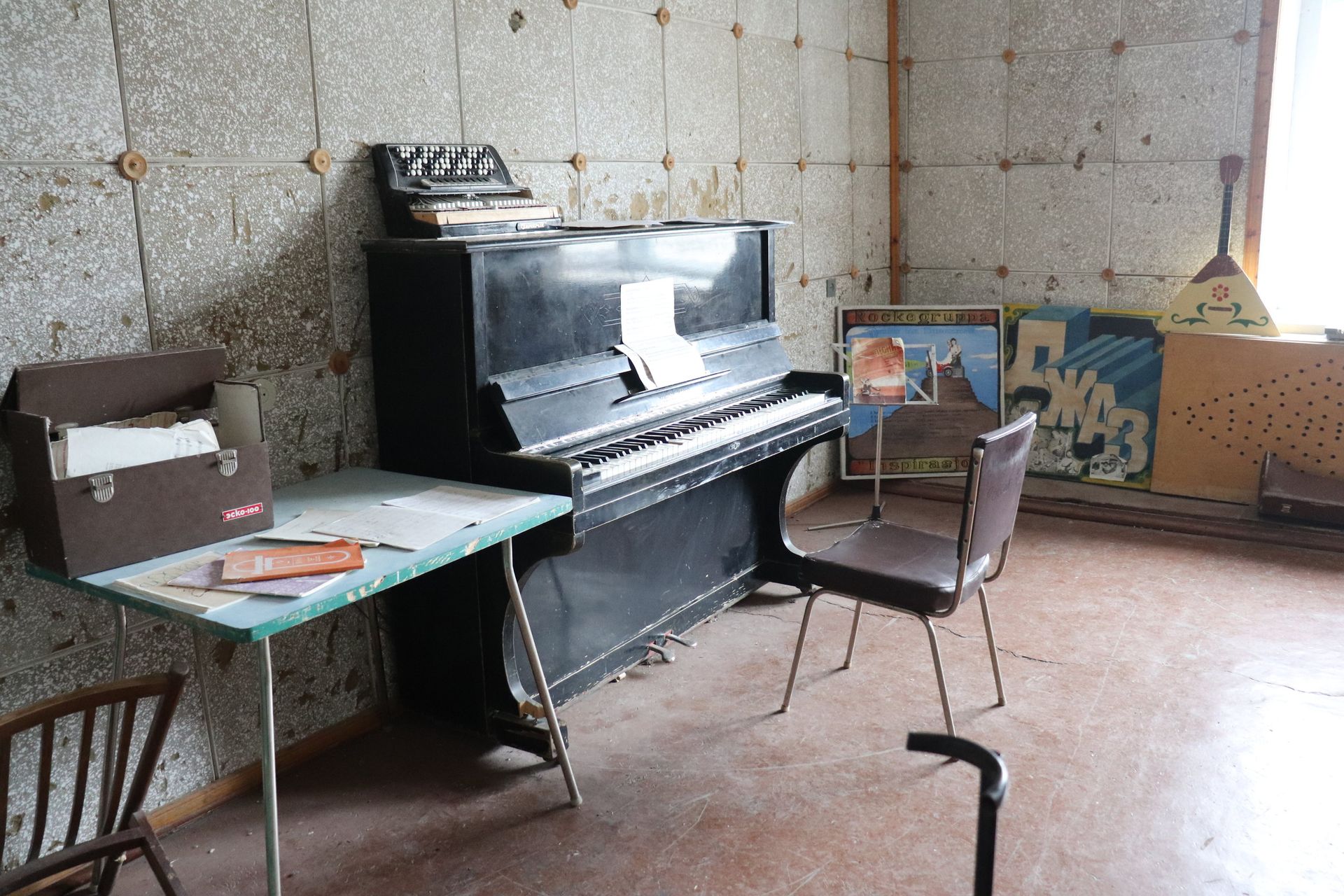
The northernmost grand piano
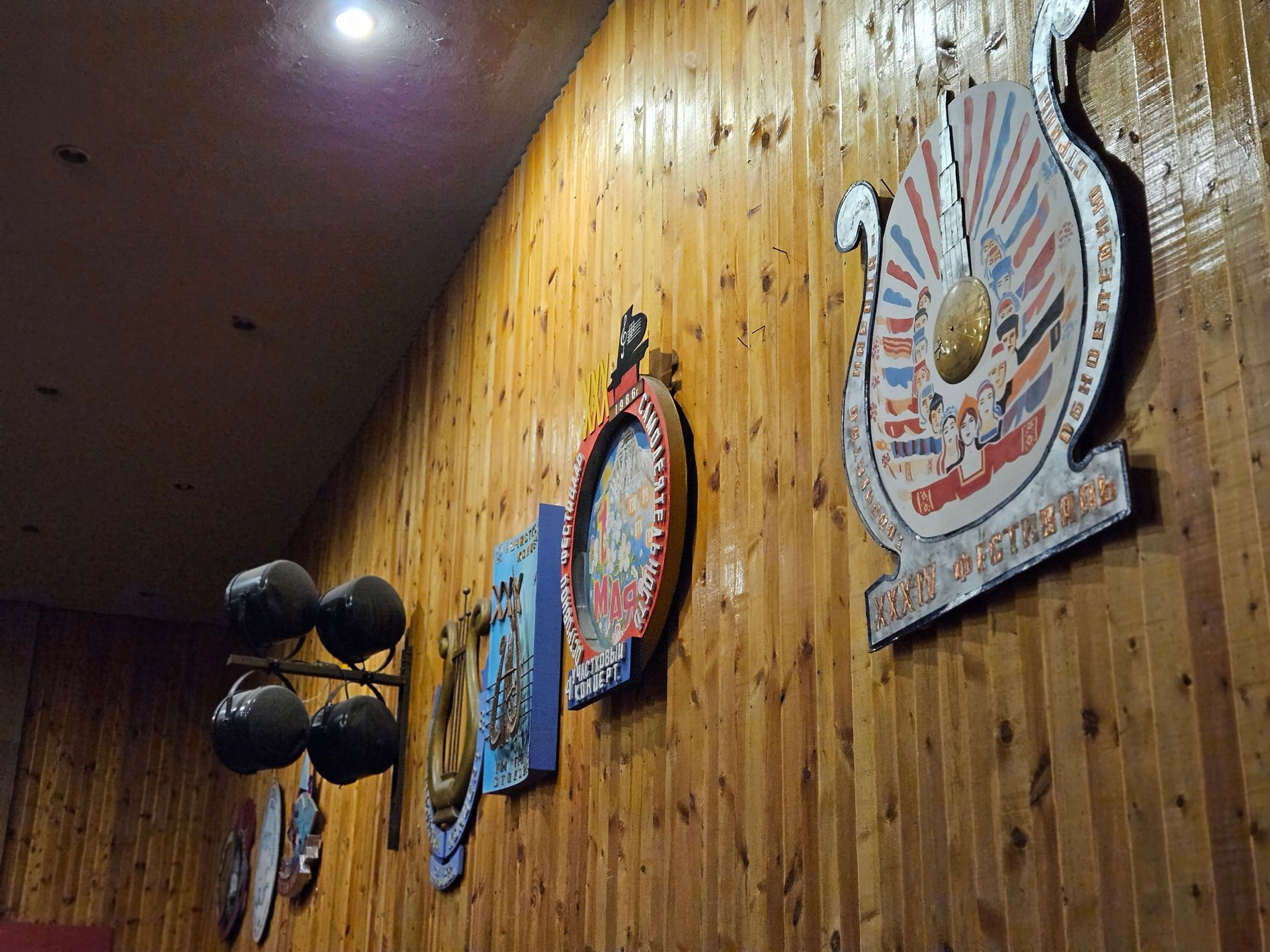
The Red October grand on the Culture Palace stage came in by boat with a consignment of accordions and keyboards. It is the northernmost grand piano in the world and, by most accounts, still roughly in tune — the building is cold and dry enough to have spared it.
A life interrupted mid-sentence
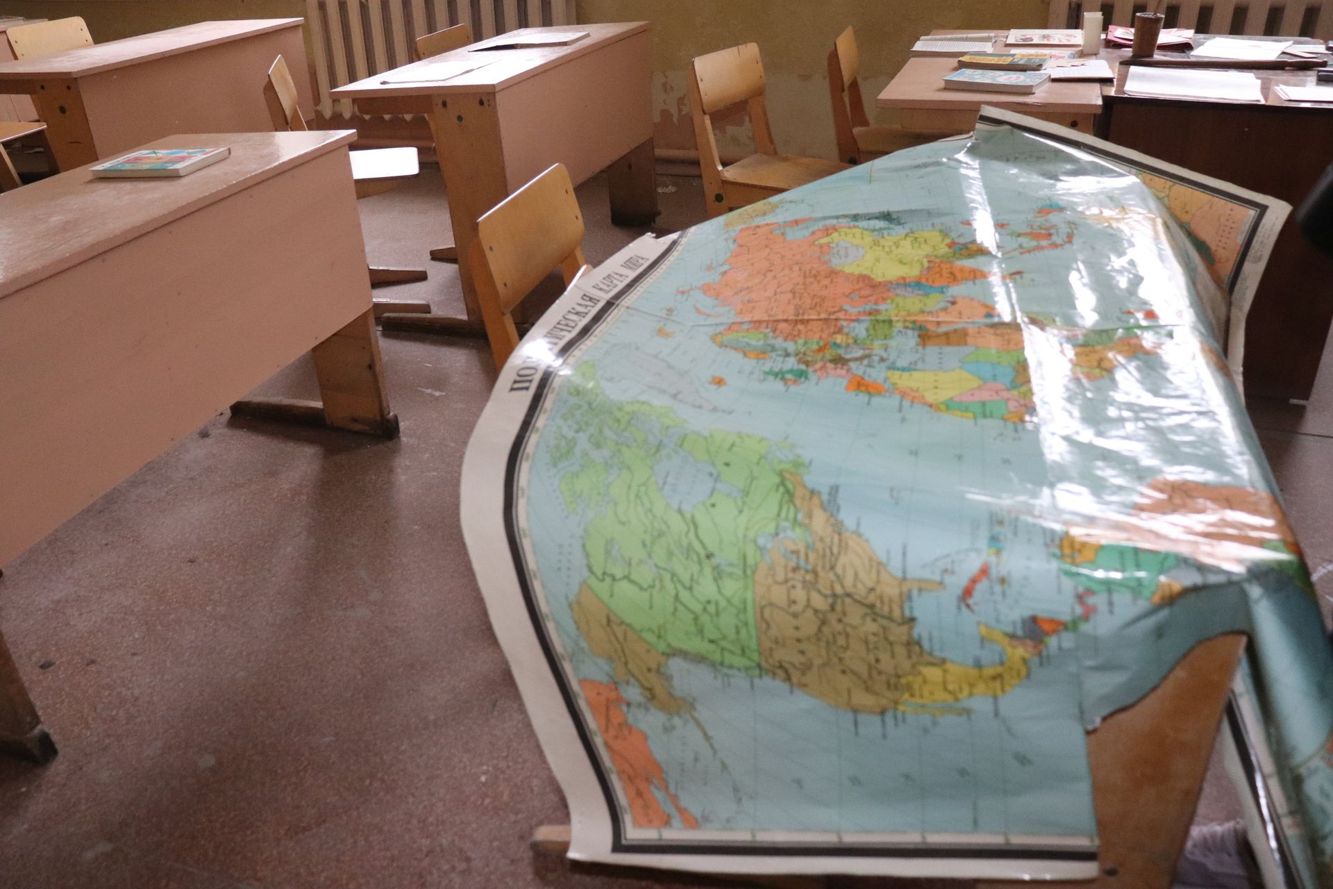
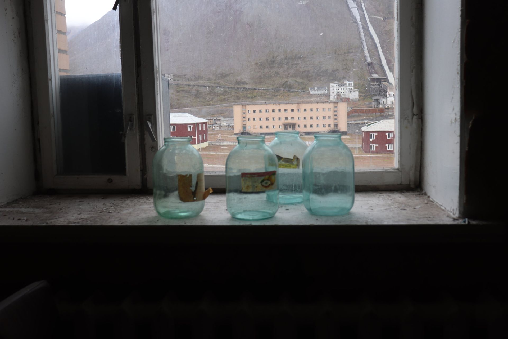
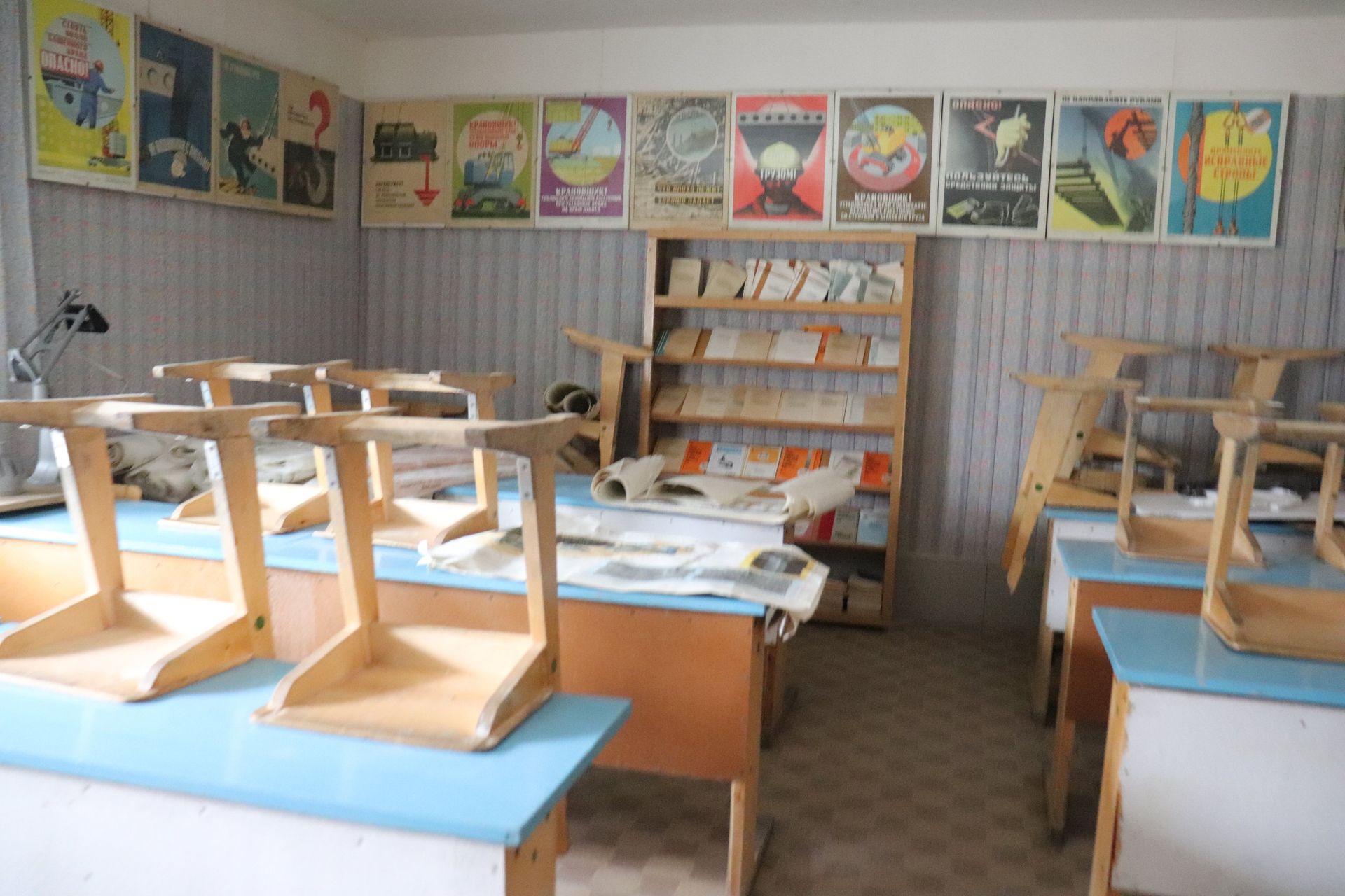
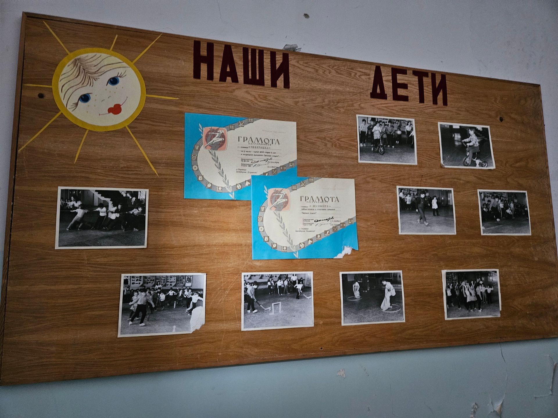
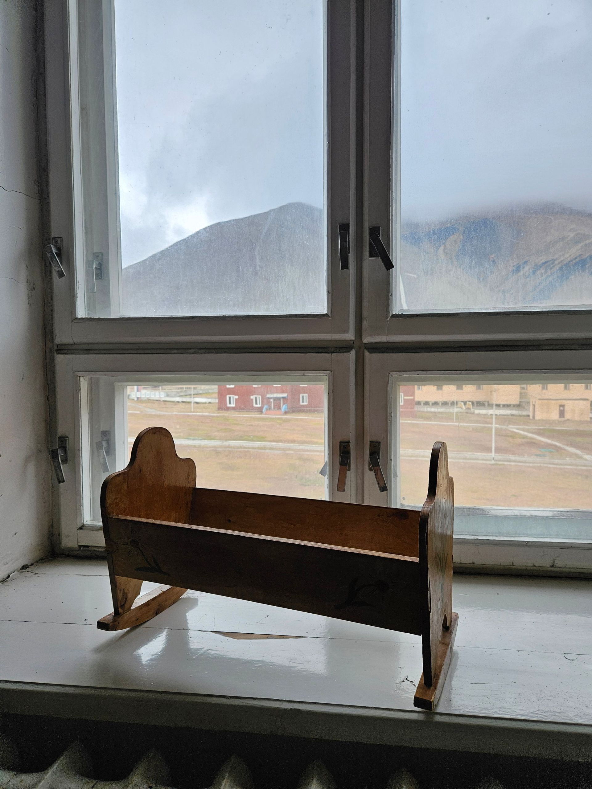
What makes these rooms difficult is not the ruin, it is the ordinariness: children's drawings still clipped to the rack, skis stood in the corner, a cash register with its last paper roll in it, jars on a windowsill. Everyone expected to come back after the season.

The Ice
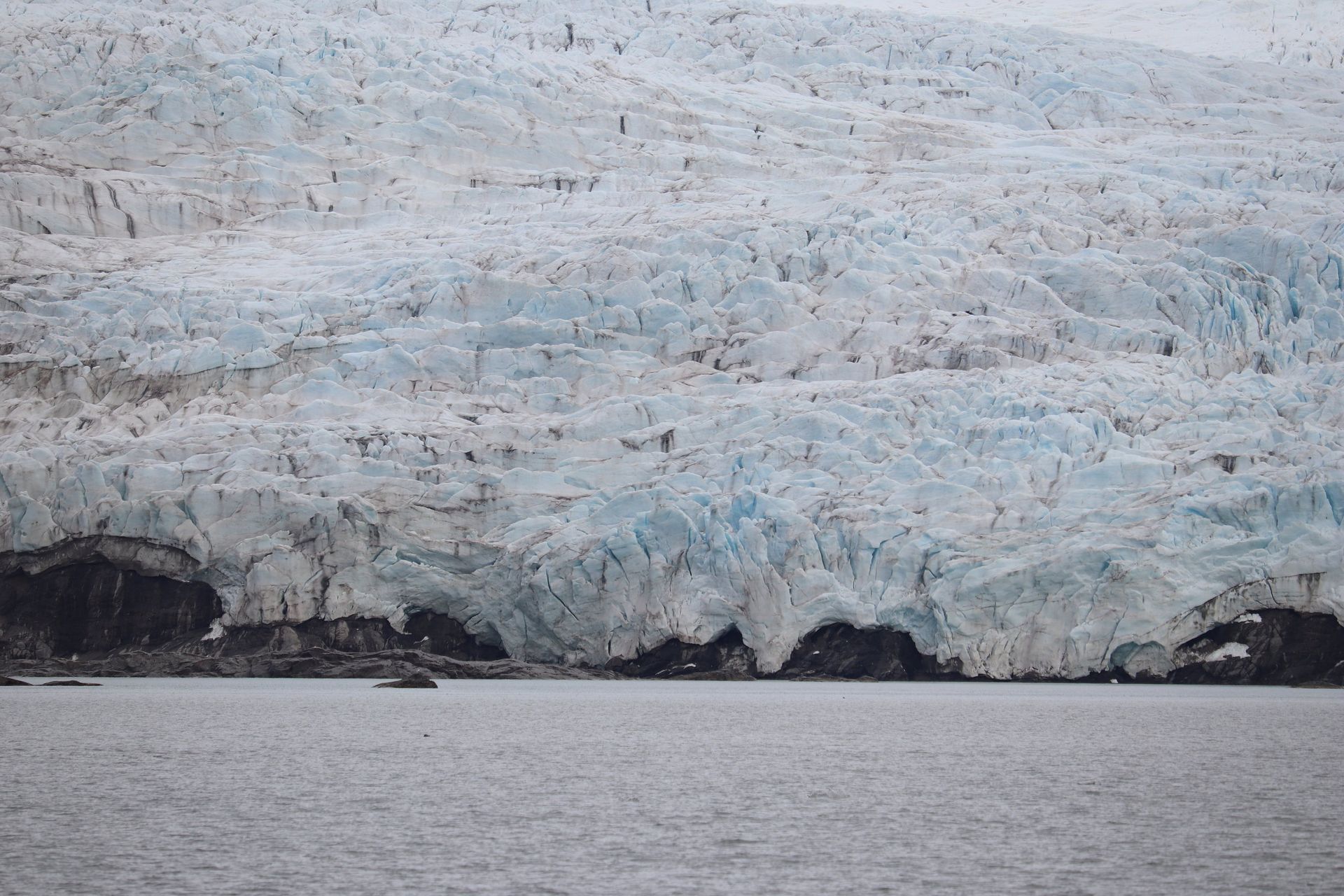
Nordenskiöldbreen
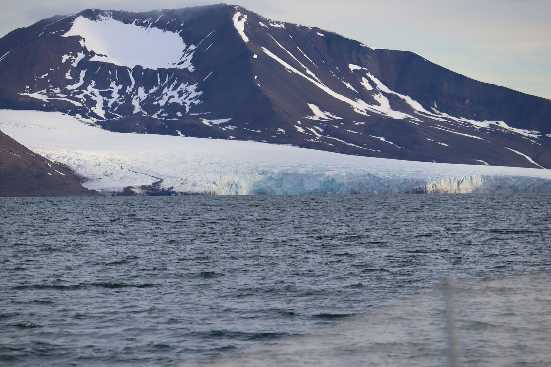
Eighty metres of blue wall at the head of the fjord, shedding itself into the water while you watch and listen.
- Front width
- ≈6 km
- Height
- ≈40–80 m
- Retreat
- ≈2 km since 1900
- Ice age at front
- Centuries
Blue because it is old
The blue is not colour, it is age. Ice under centuries of pressure loses its air bubbles, and the denser it gets the more red light it absorbs, leaving the blue to come back out. The bluest ice at the front is the oldest thing in the picture.
A front that keeps moving back
Nordenskiöldbreen has pulled back roughly two kilometres since 1900 and the retreat is accelerating. The charts on the boat are older than the coastline.
Isfjorden
Under way
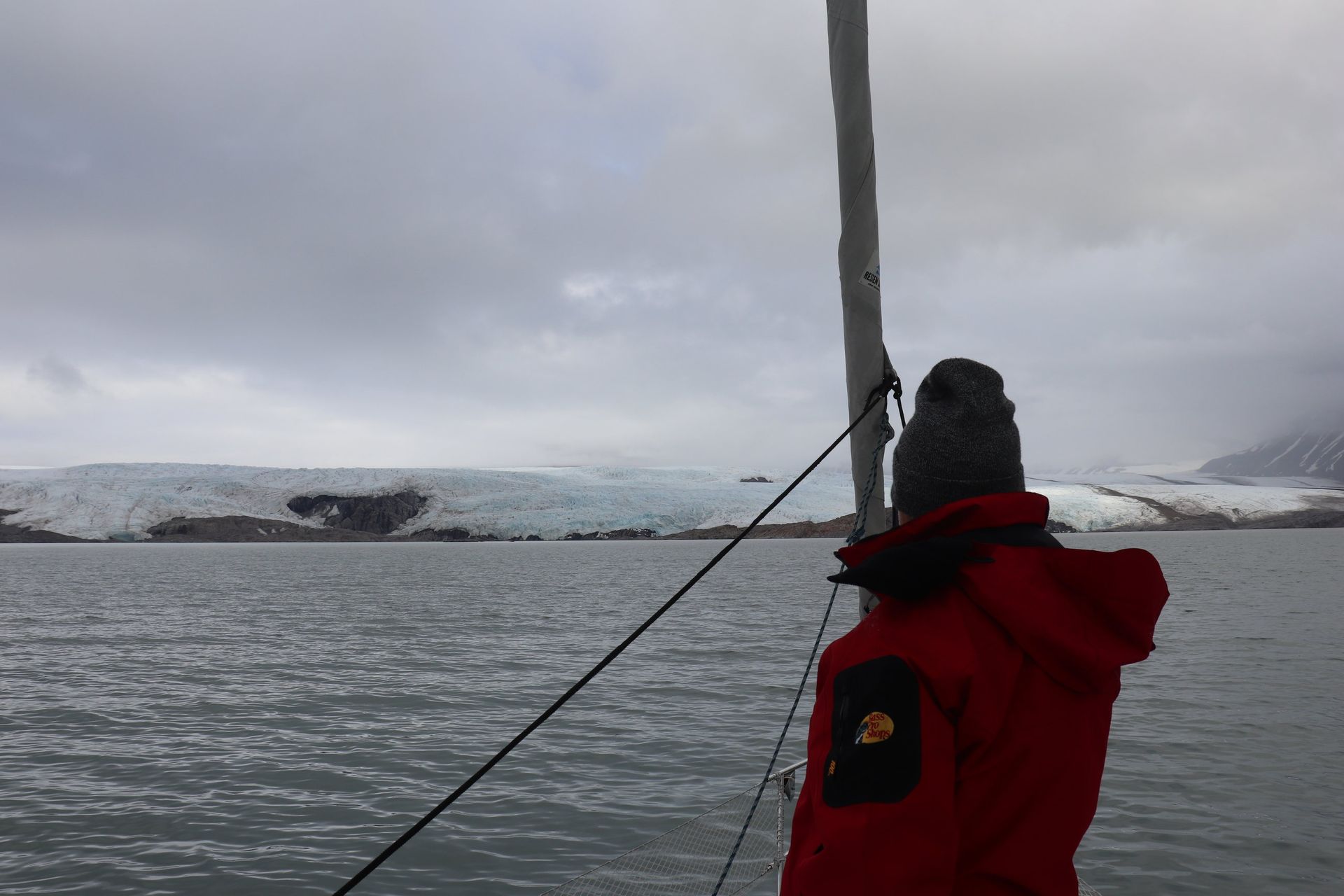
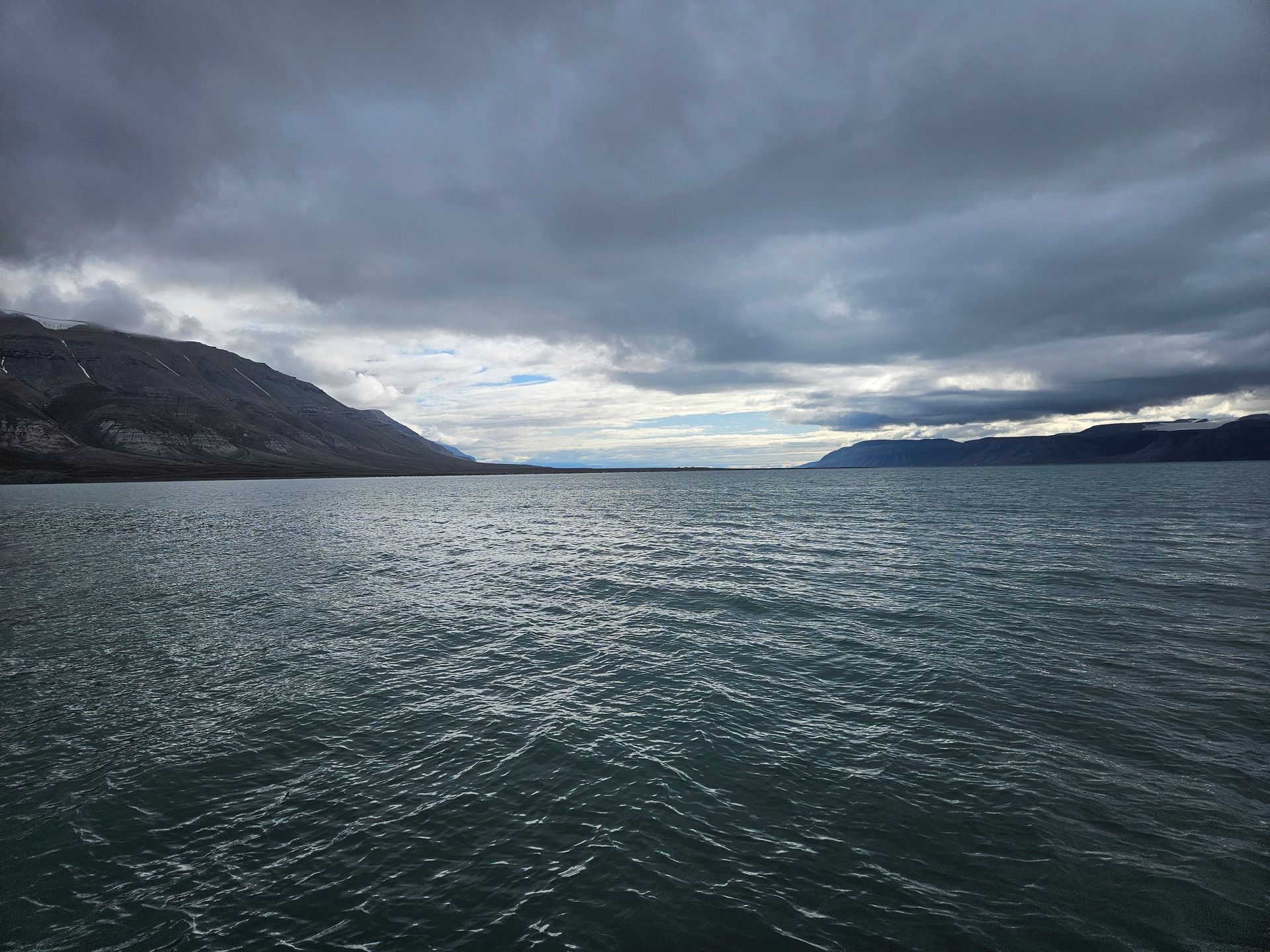
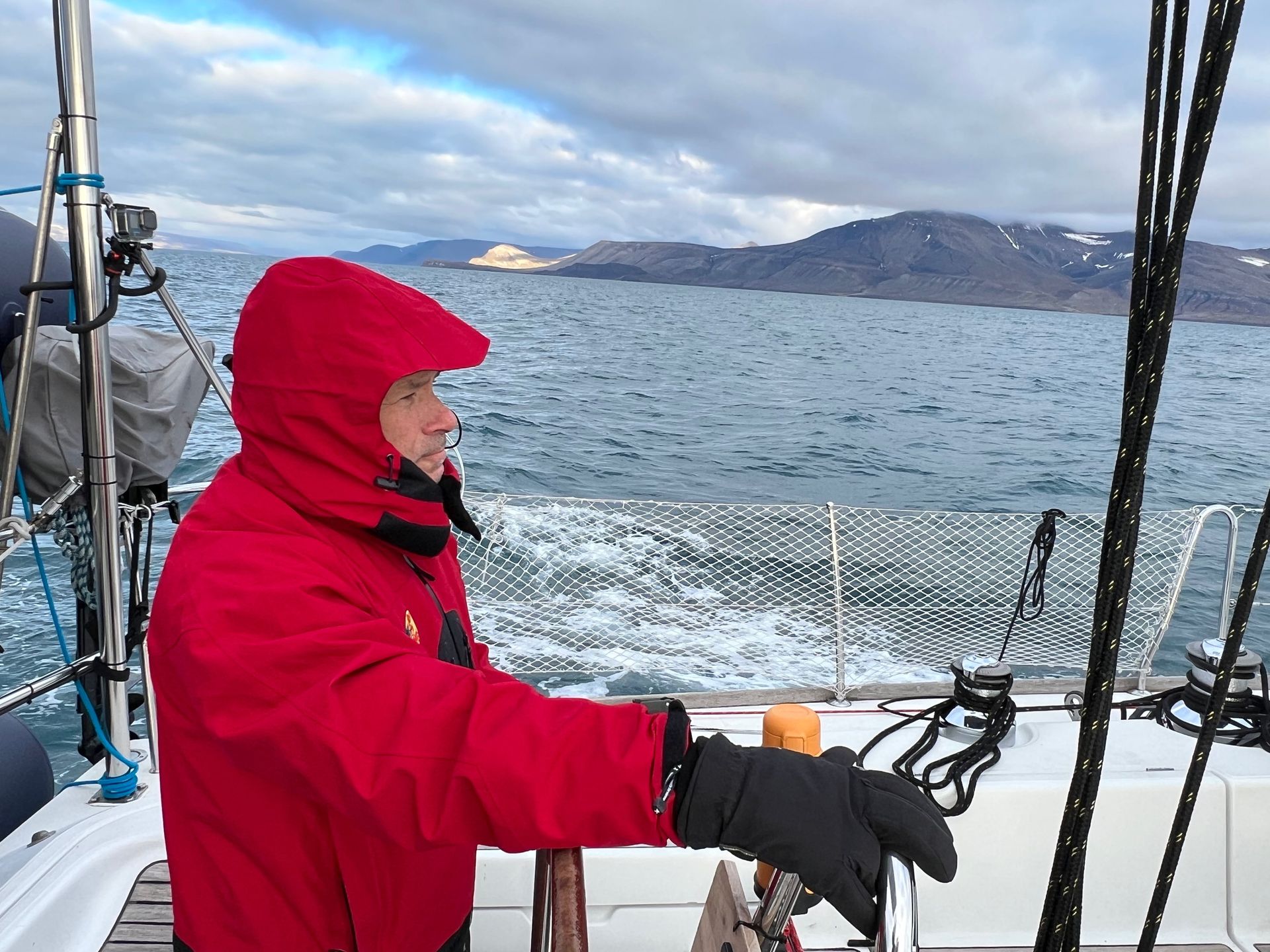
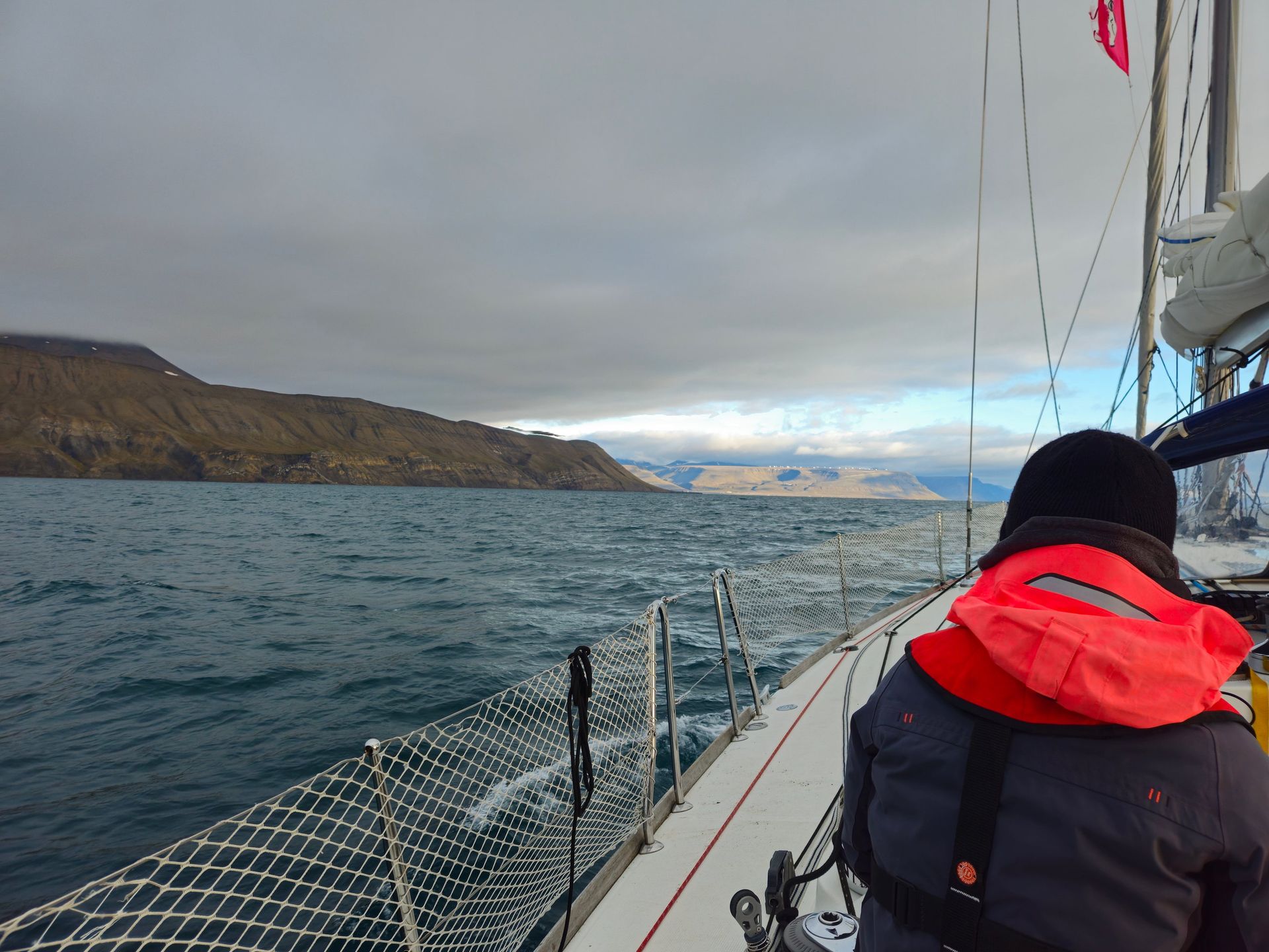
Between the towns, the boat and the watch: making miles up a fjord with the mountains keeping their distance.
- Isfjorden length
- ≈100 km
- Watch system
- Four hours on, eight off
- Nearest hospital
- Longyearbyen
Sailing without a safety net
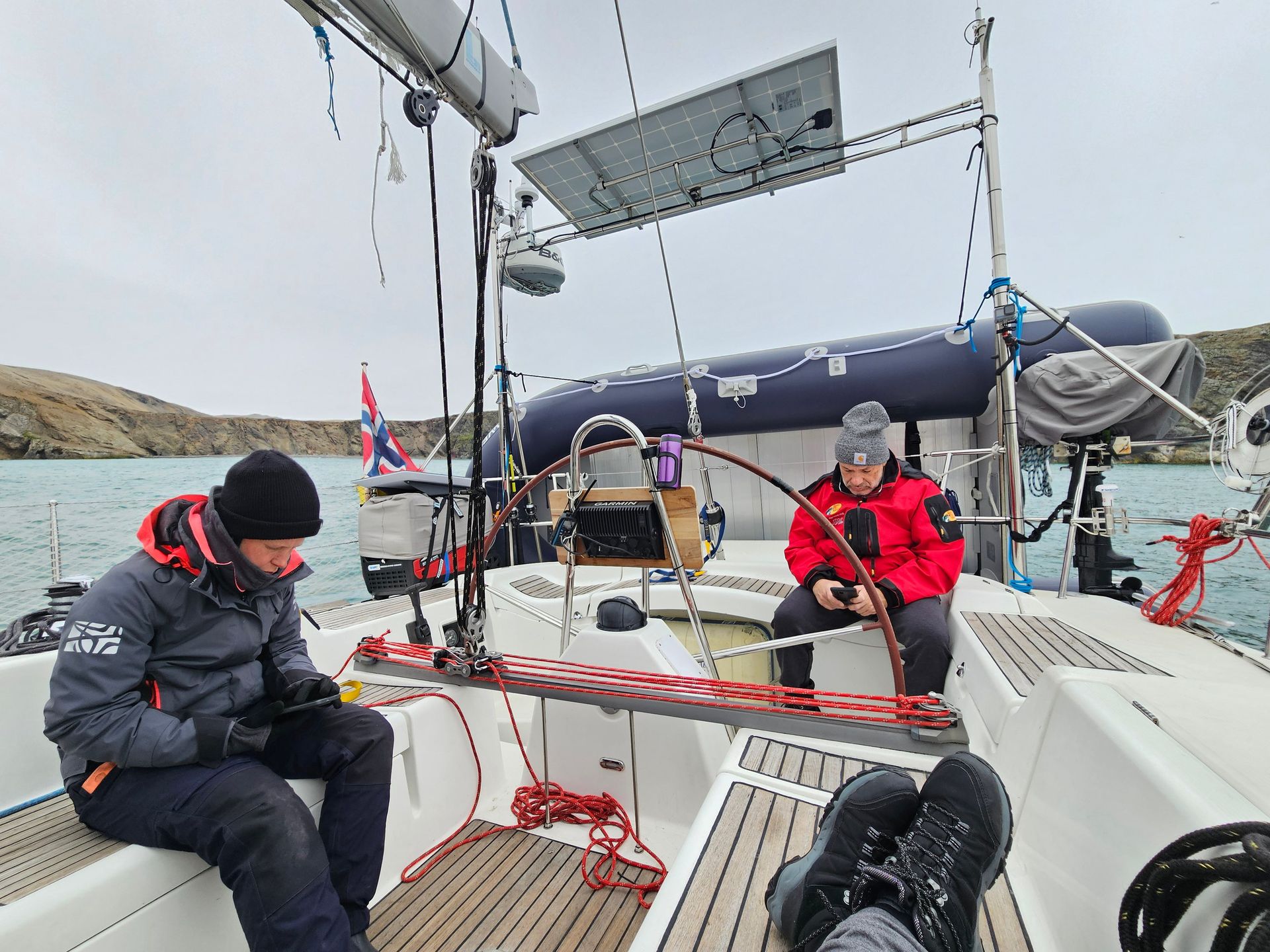
There is no coastguard helicopter beyond a certain range and no other traffic to speak of. Everything the boat needs it carries, and everything that breaks gets fixed by whoever is awake.
Open Water
Isfjorden → the Barents Sea
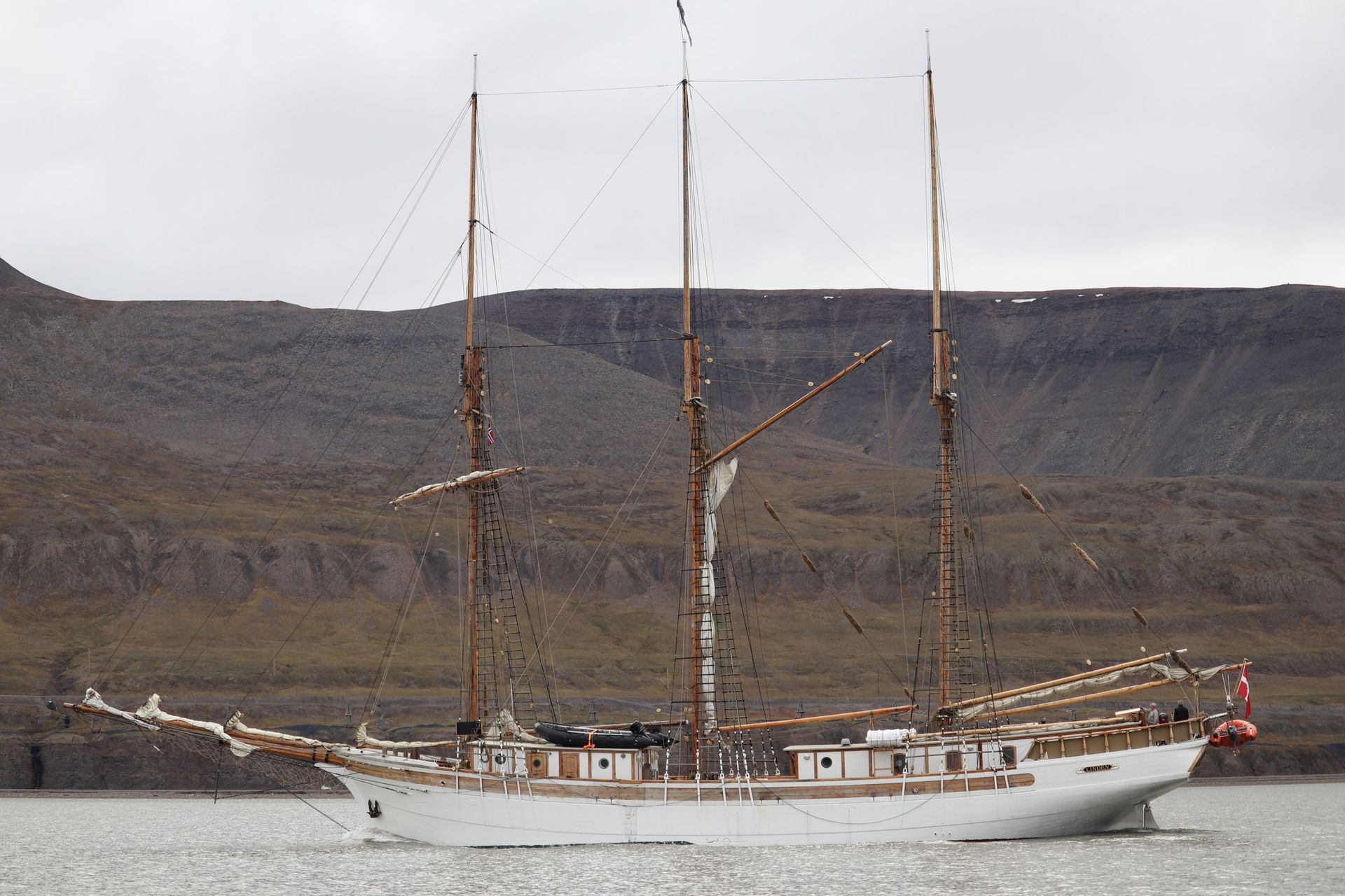
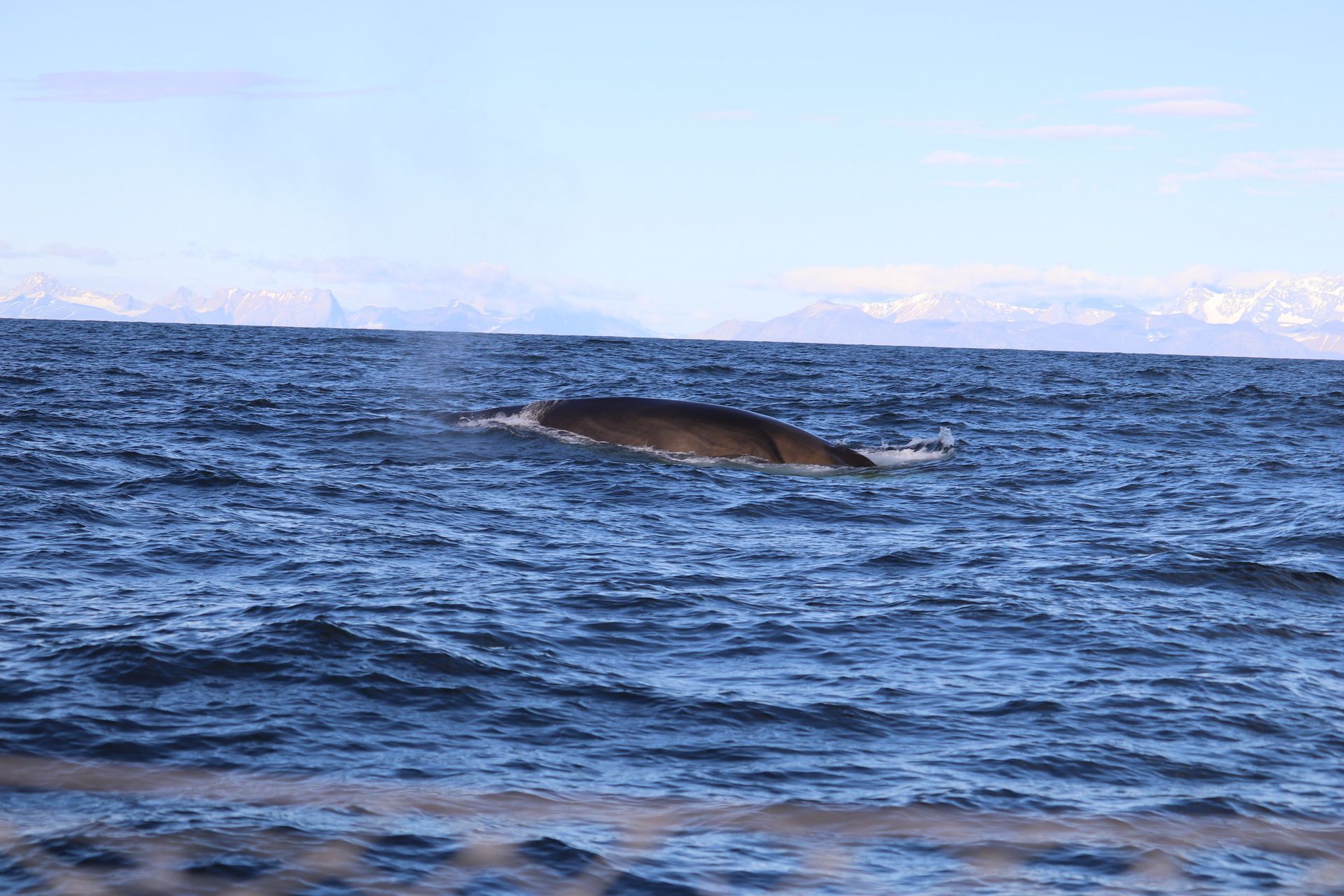
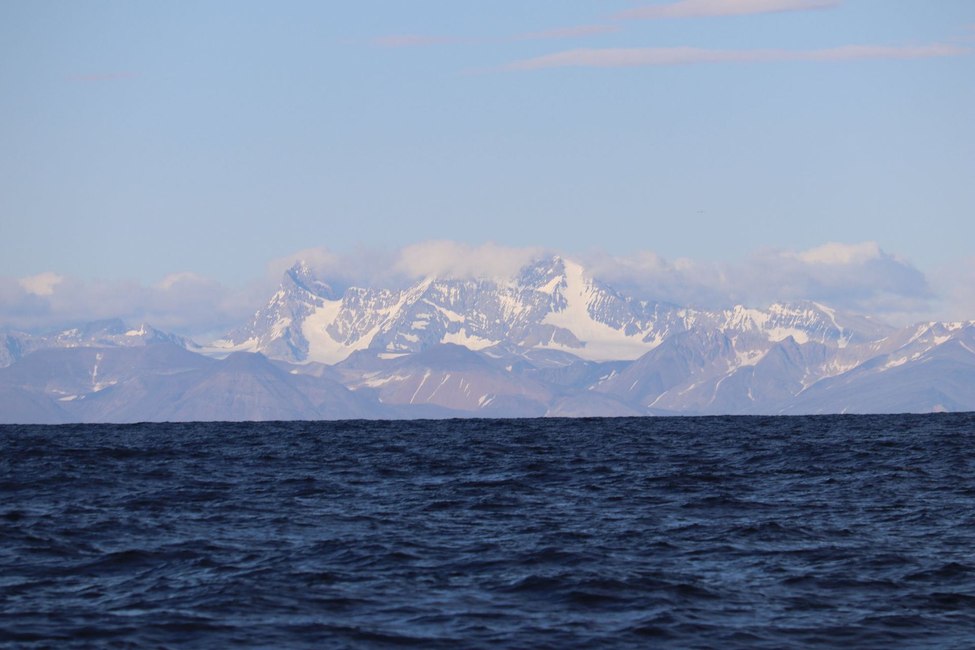
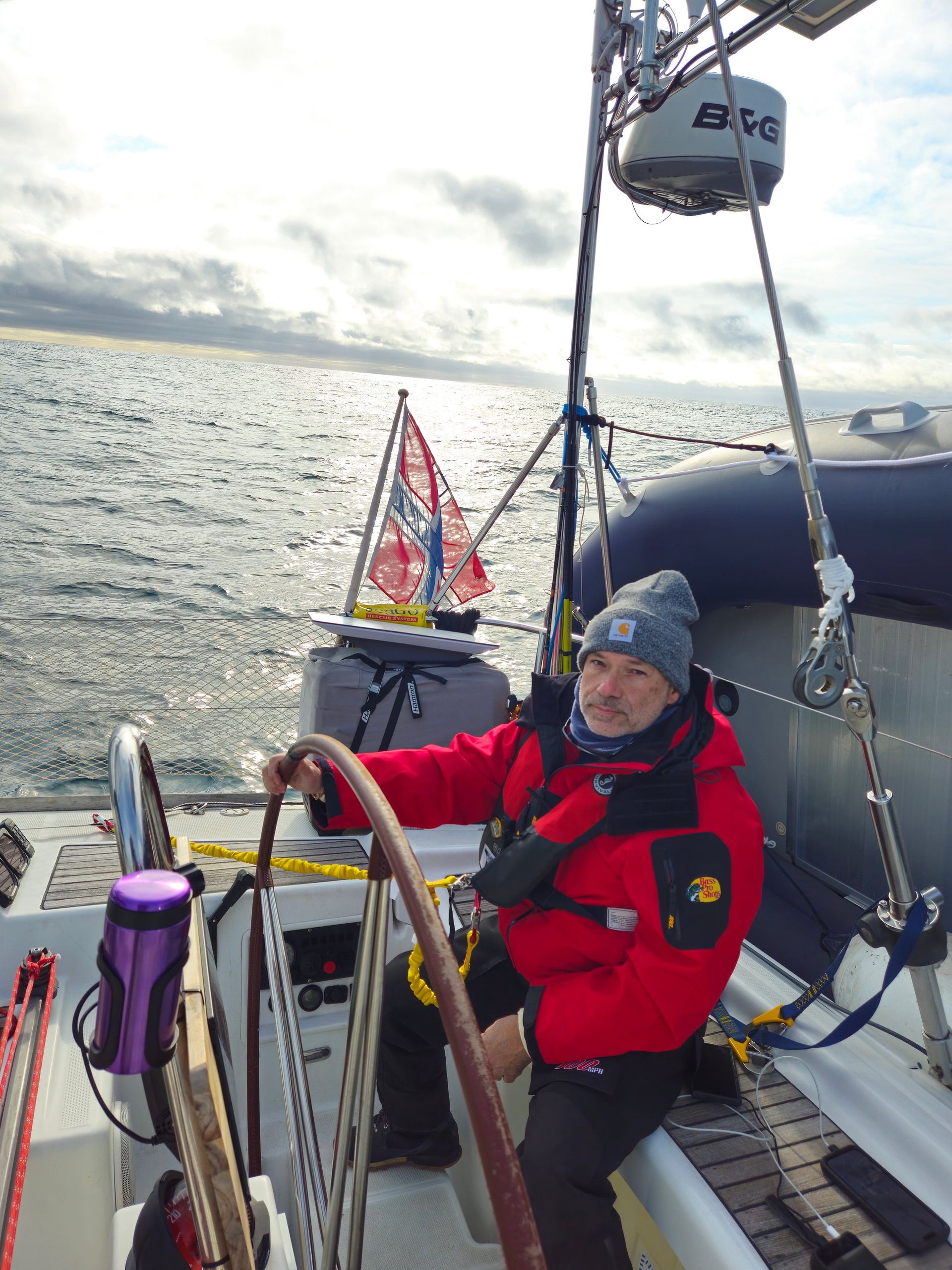
Out of the fjords and into the swell. Tall ships on the horizon, a whale alongside, and the first night that needed navigation lights.
- Passage
- ≈480 nautical miles
- Whales
- Minke, fin, blue
- Sea state
- Barents Sea, open
- Watches
- Round the clock
Why the whales are back
Every large whale in these waters was hunted to commercial extinction, some twice — Svalbard's bowhead fishery was finished by 1800. Minke and fin whales feed along this shelf edge again now, on krill brought up where the Atlantic water meets the polar front.
Bjørnøya
Bear Island · 74°30′N
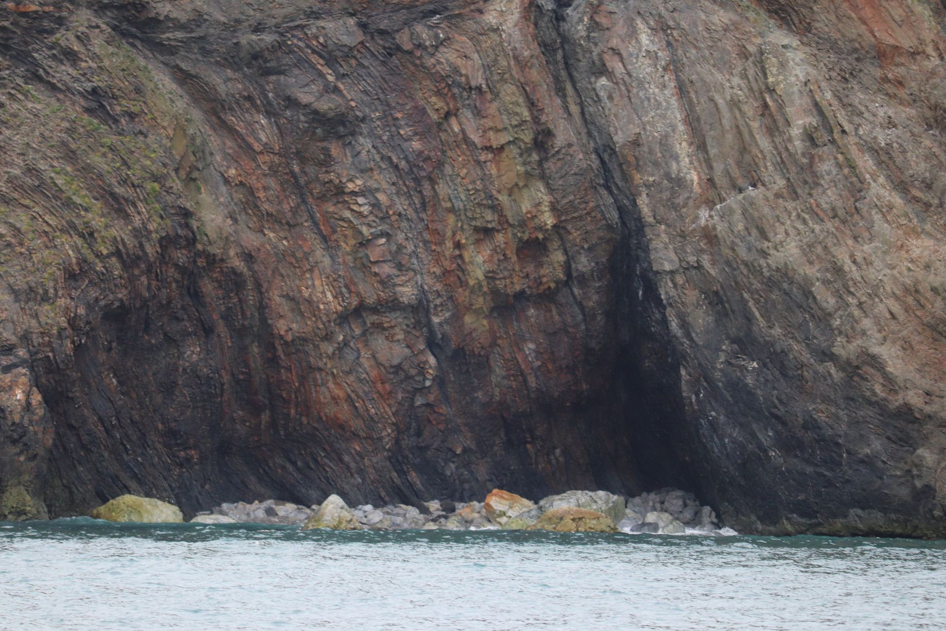
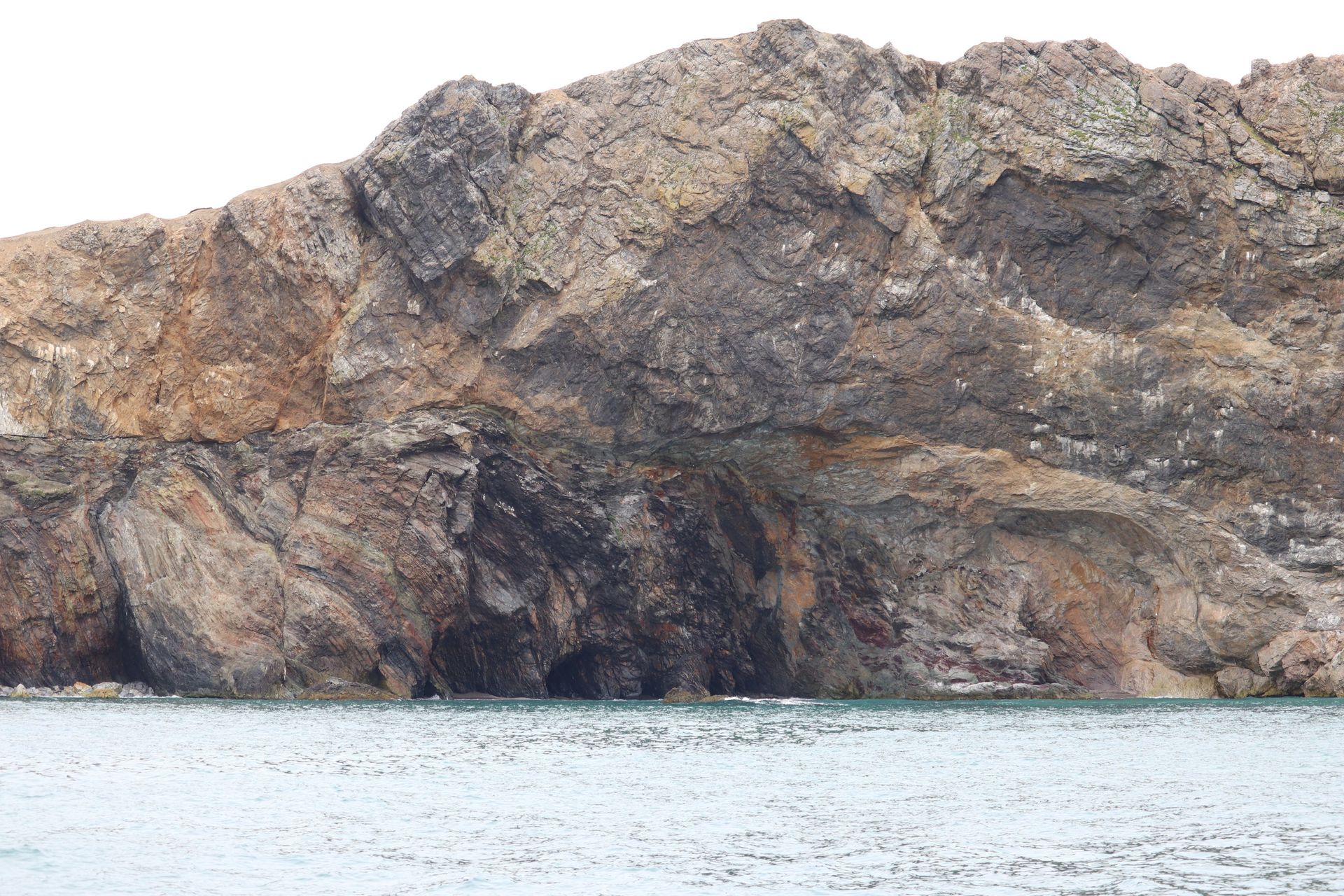
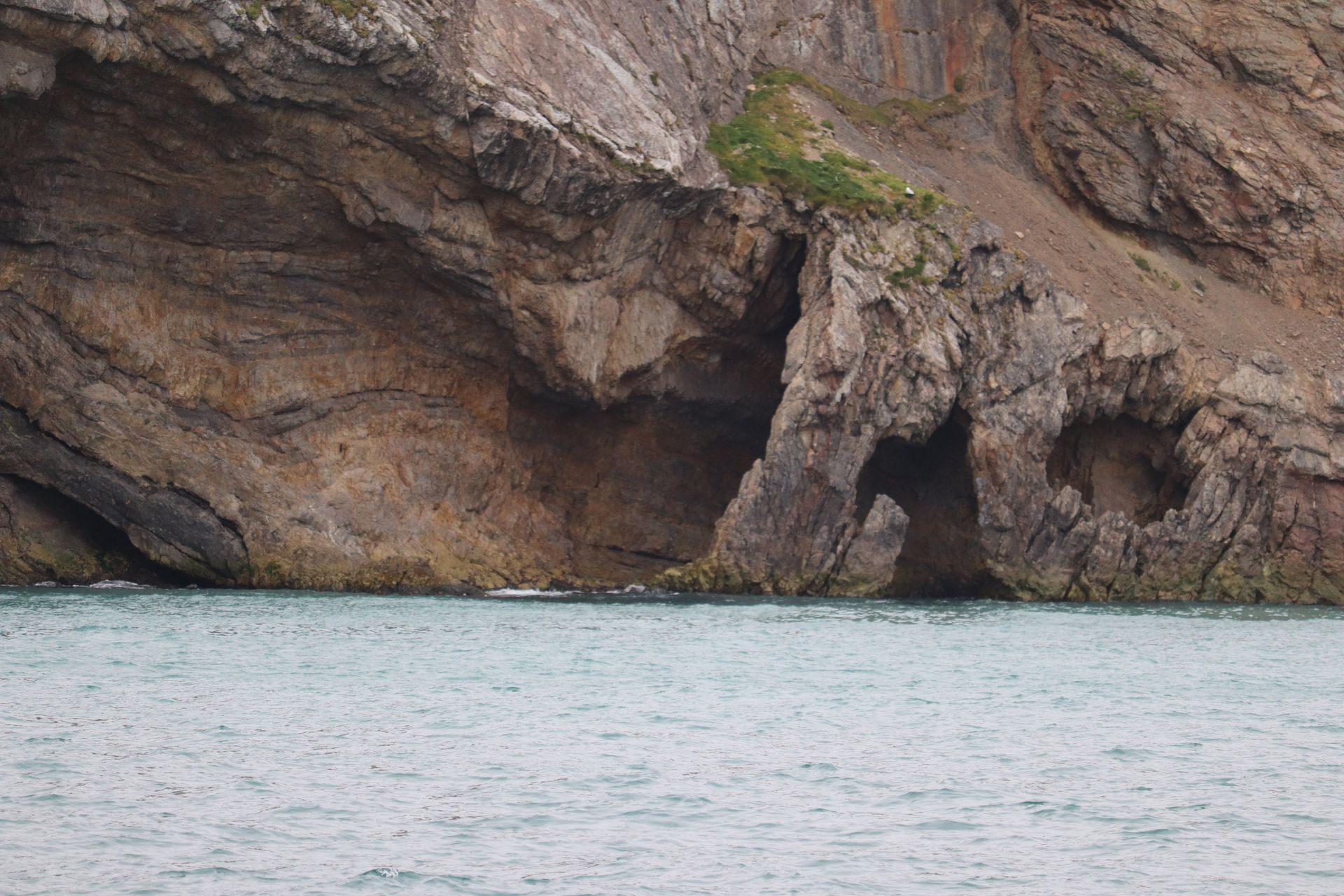
Halfway between Svalbard and Norway, three hundred metres of cliff with a hundred thousand birds on it and nine people living behind.
- Latitude
- 74°30′N
- Area
- 178 km²
- Named
- 1596, by Barentsz
- Population
- 9, at the met station
- Seabirds
- ≈100,000 pairs
Named for one bear
Willem Barentsz found the island in 1596 and named it for a polar bear his crew fought and killed on the shore. It has been a whaling base, a coal mine, a fishing station and a fox-trapping ground, and none of it lasted.
Nine people and a radio
Bjørnøya Radio, a manned meteorological station on the north coast, is the only settlement. Nine people rotate through it, six months at a time, reporting weather for the whole Barents Sea. It is the loneliest posting in Norway and there is a waiting list.
The Crossing
Barents Sea → Norway
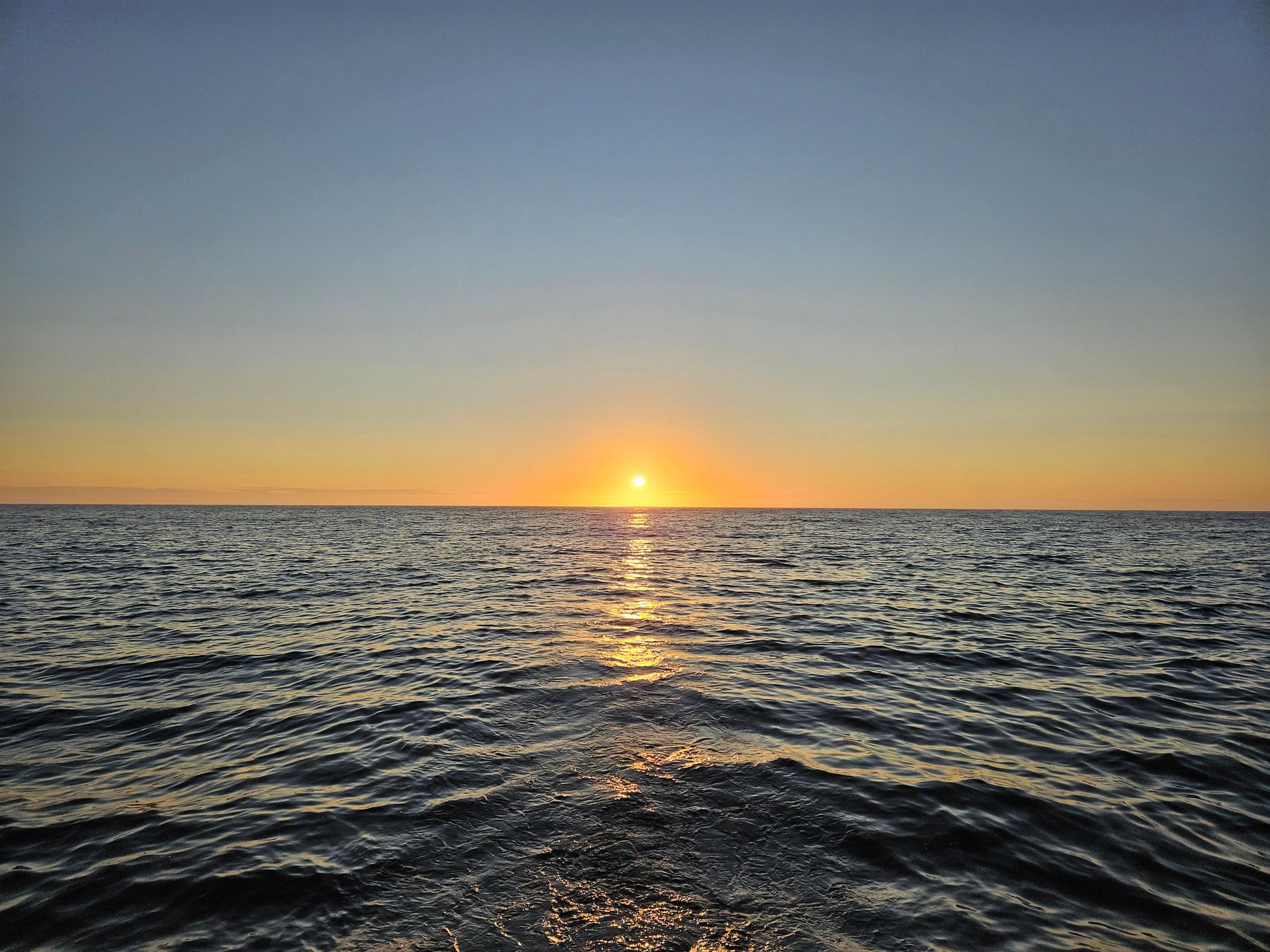
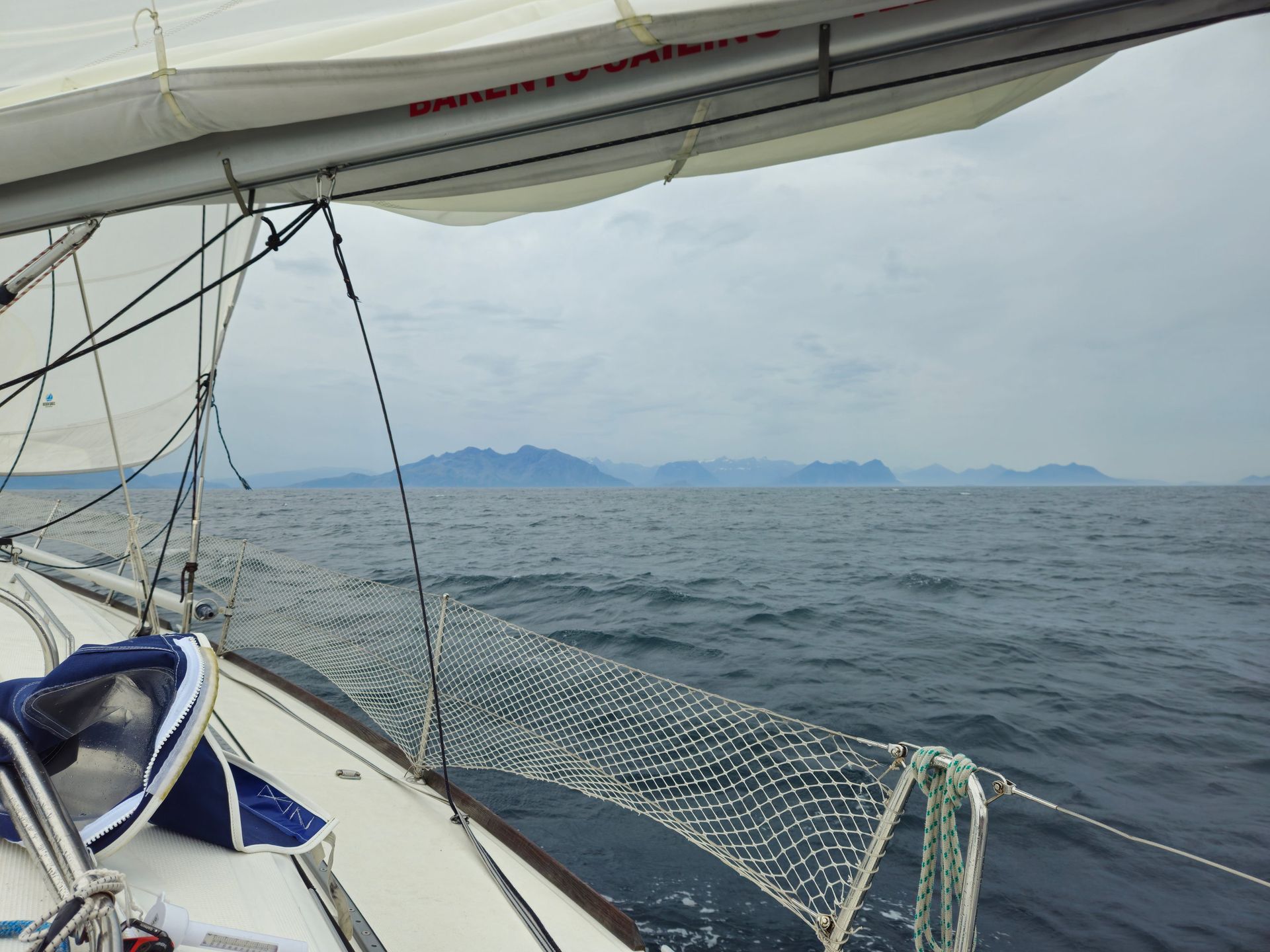
Two days of open water with the sun refusing to set and the sea going to silk, then a smell of grass on the wind before any land showed.
- Distance
- ≈300 nautical miles
- Time
- ≈48 hours
- Landfall
- 69°39′N
- First dark
- 28 July
Coming back under the horizon
Somewhere around 72°N the sun starts touching the horizon again for the first time in two weeks, and a night that had been theoretical becomes real. The crew notice it before the instruments do.
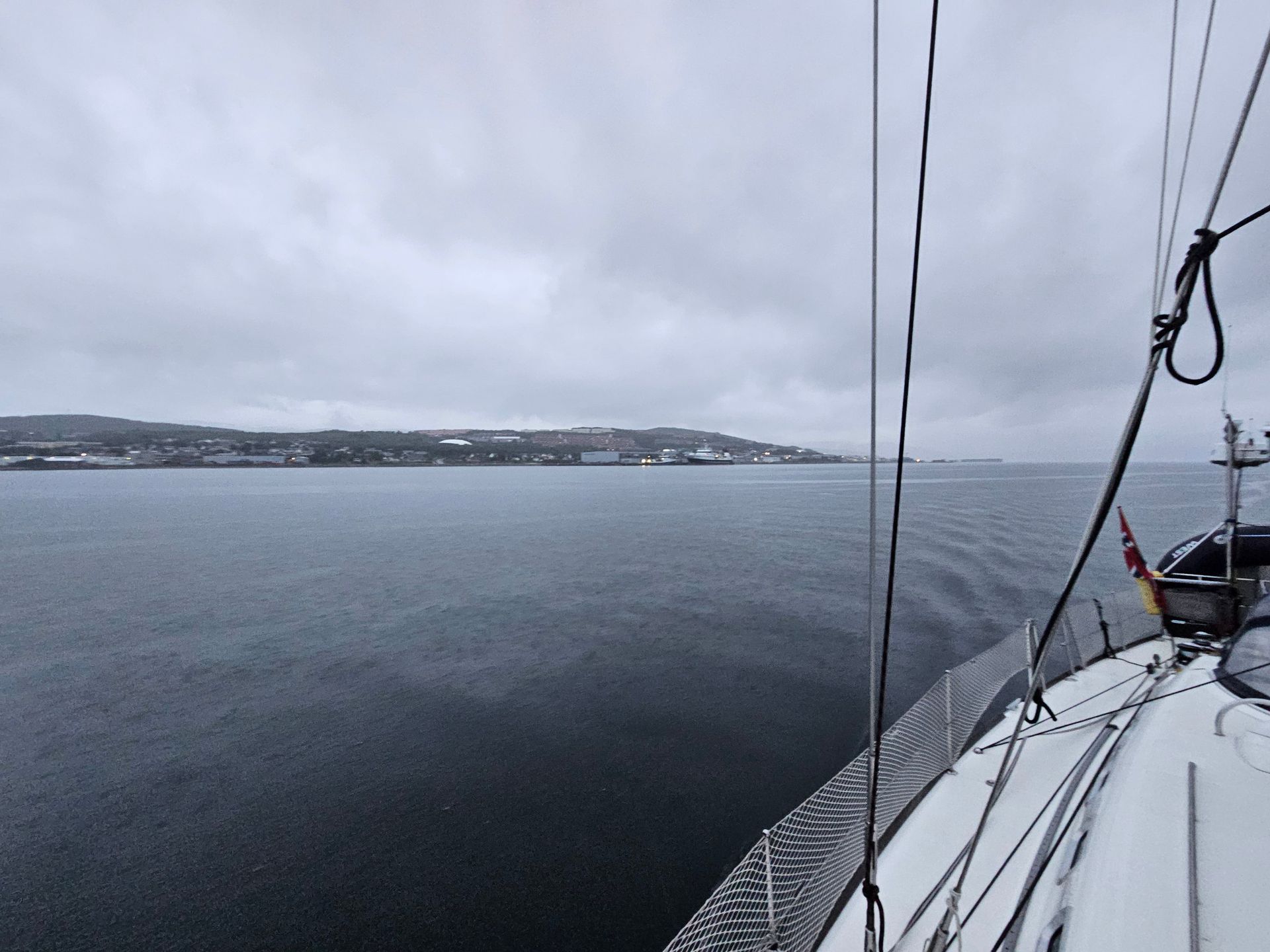
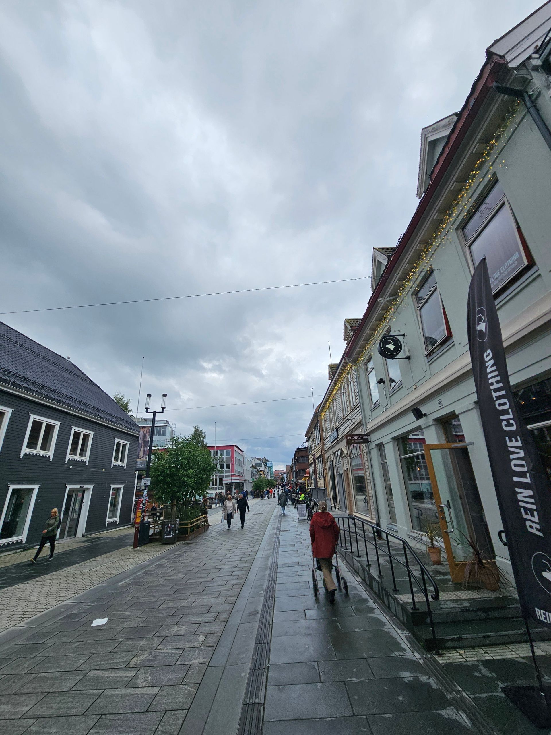
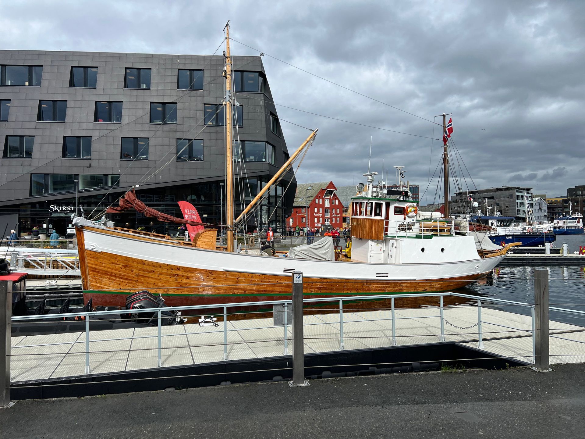
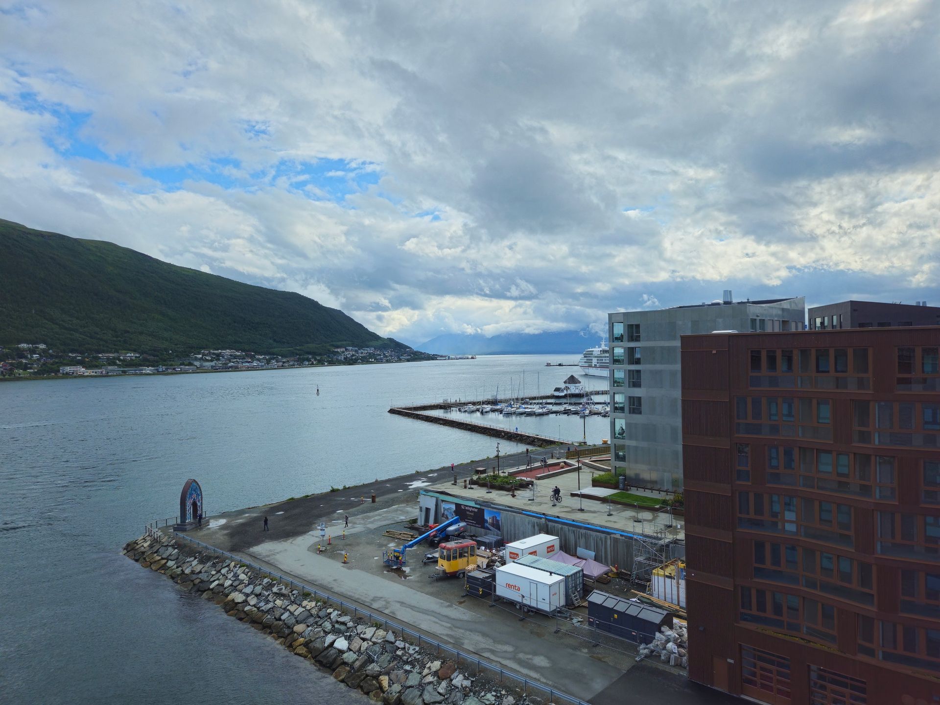
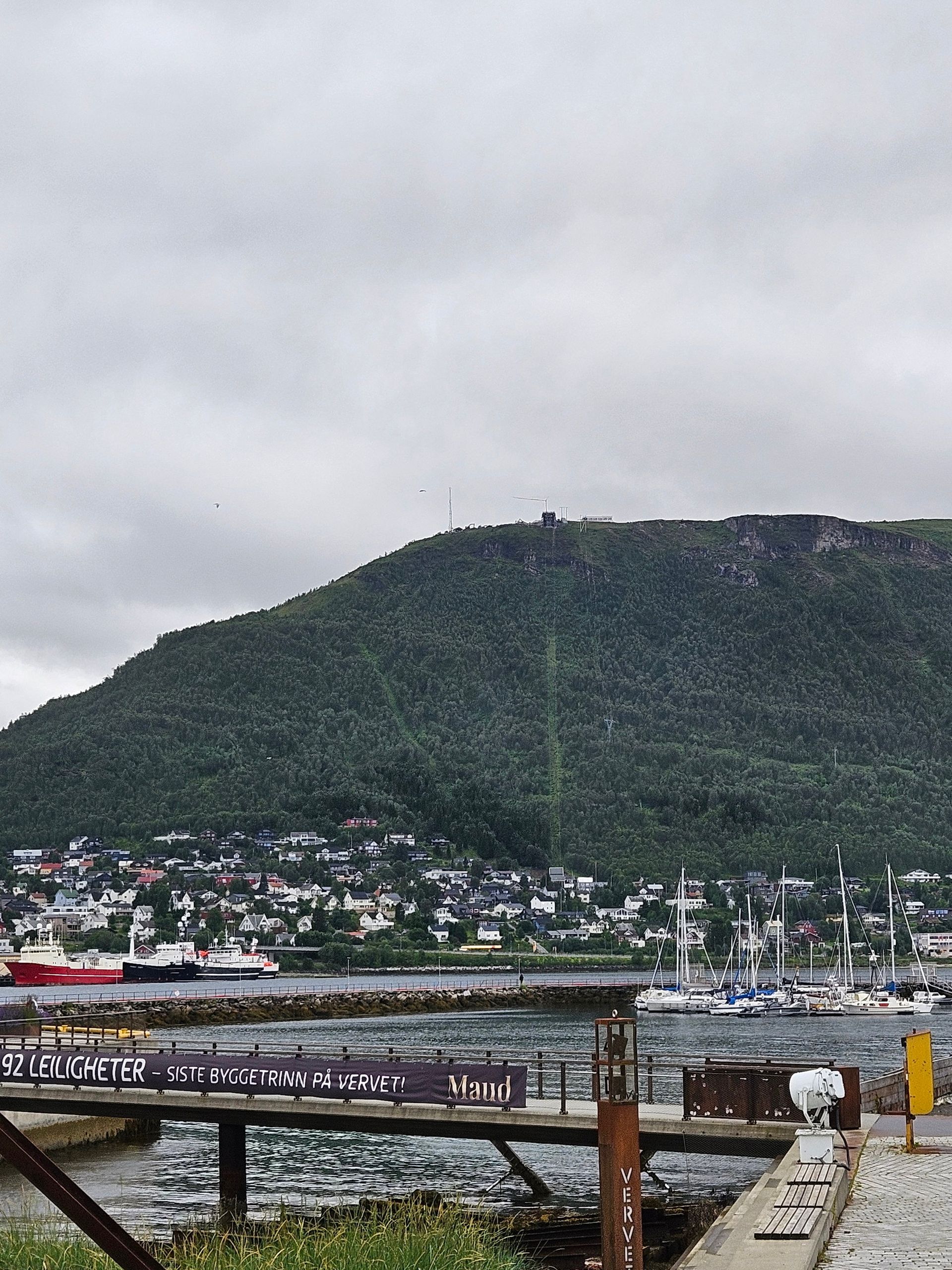
Tromsø
69°39′N
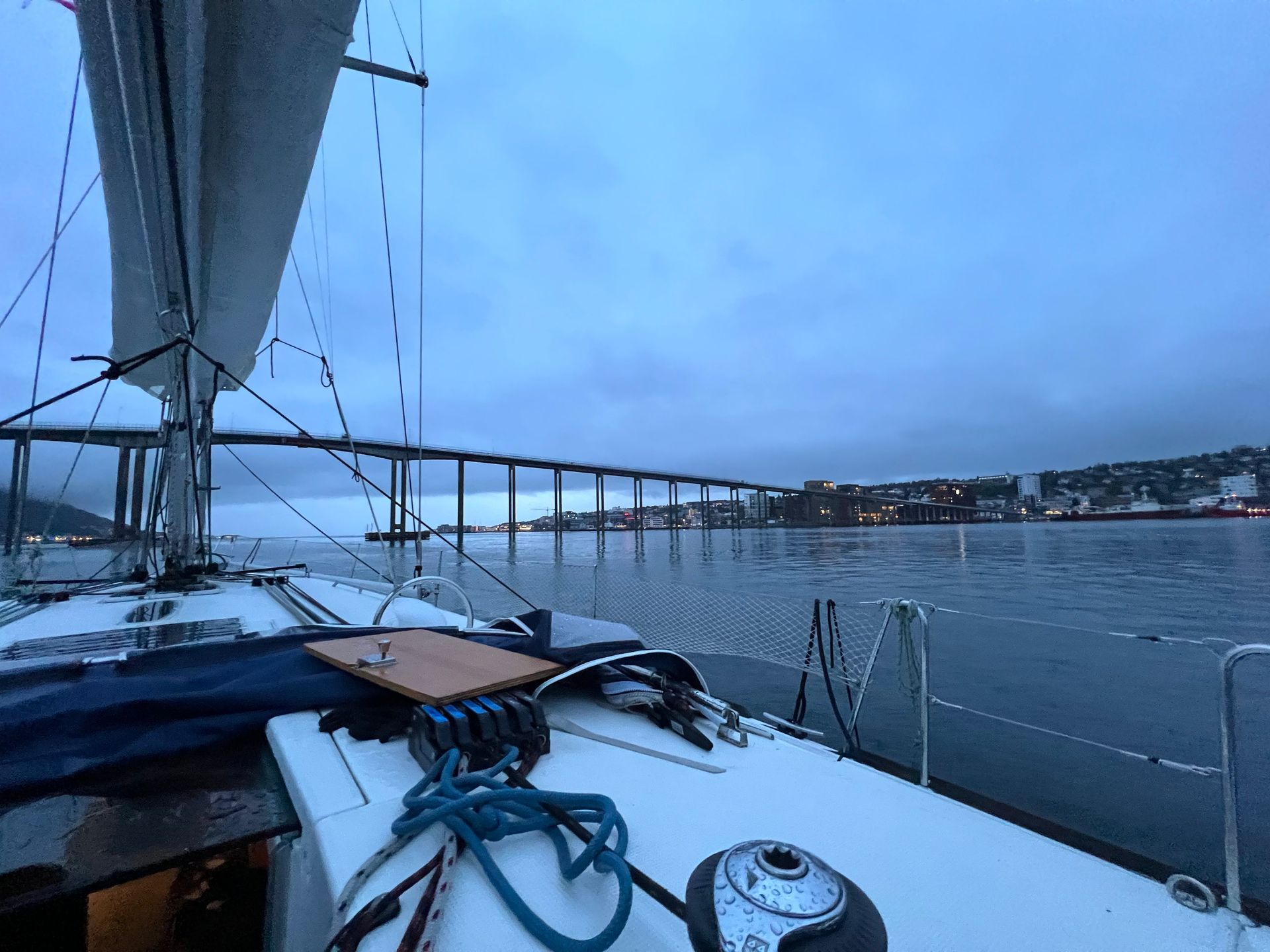
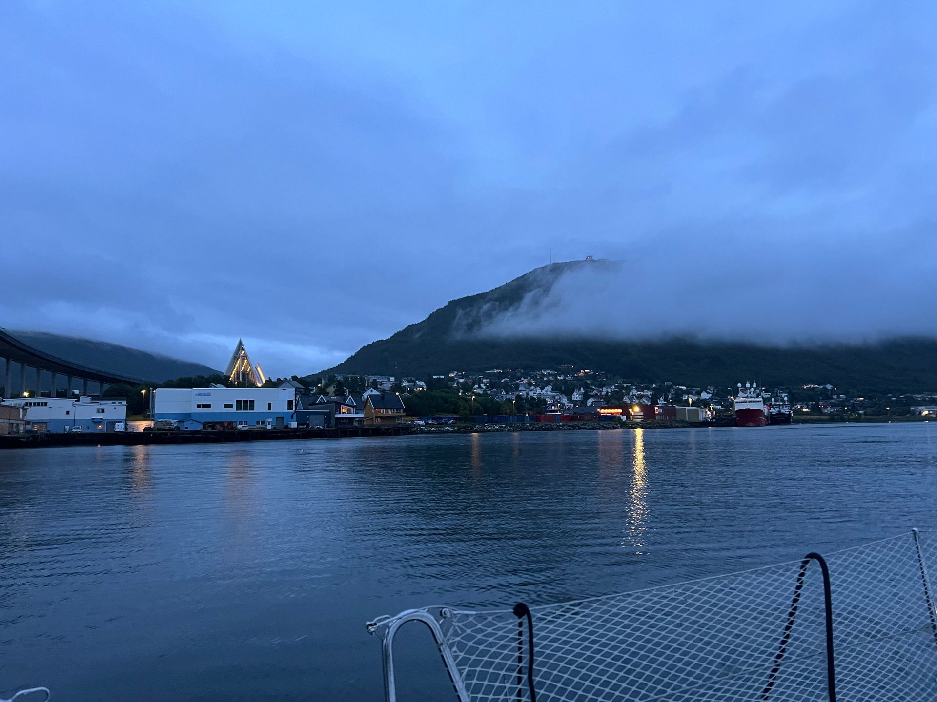
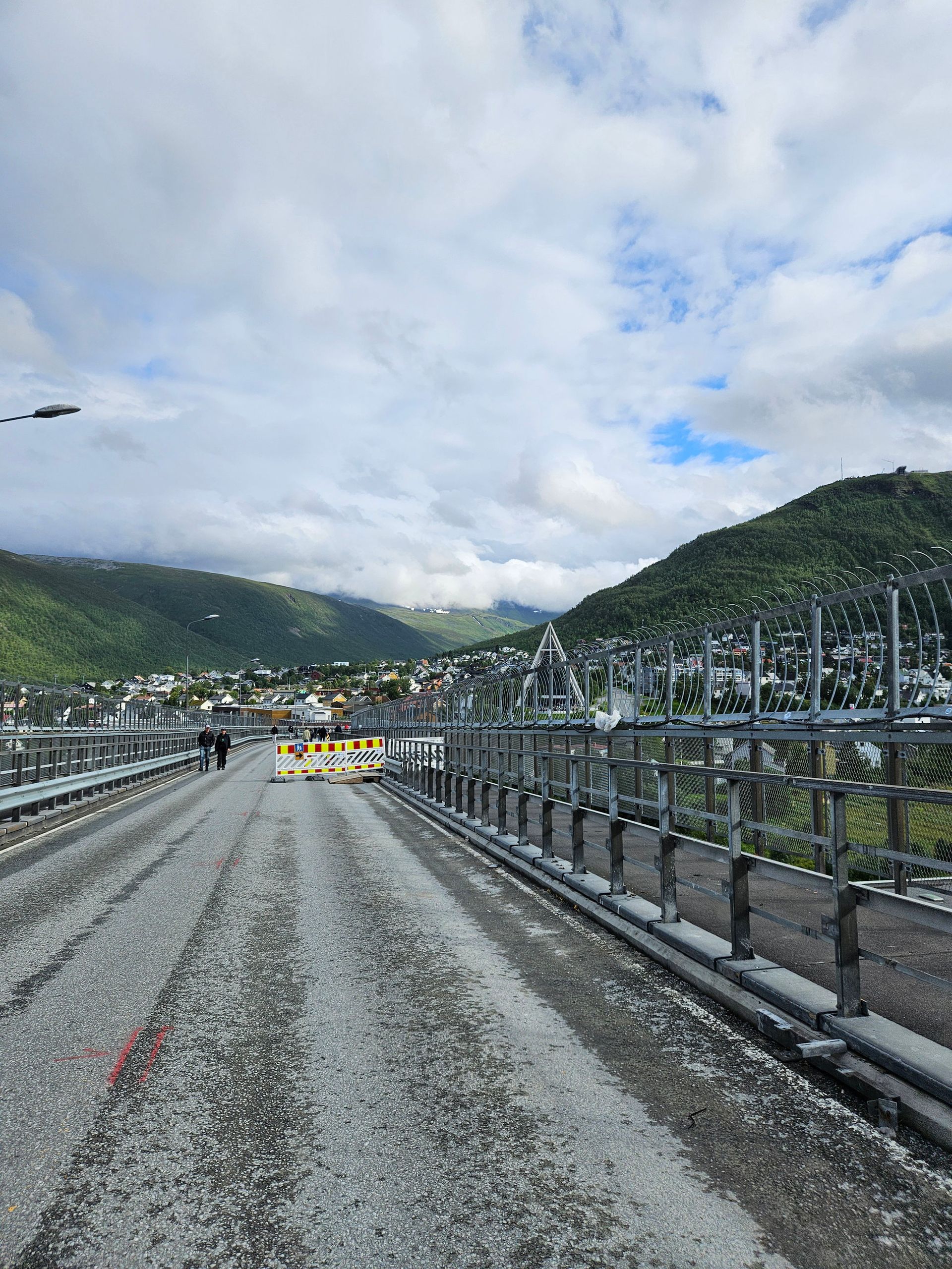
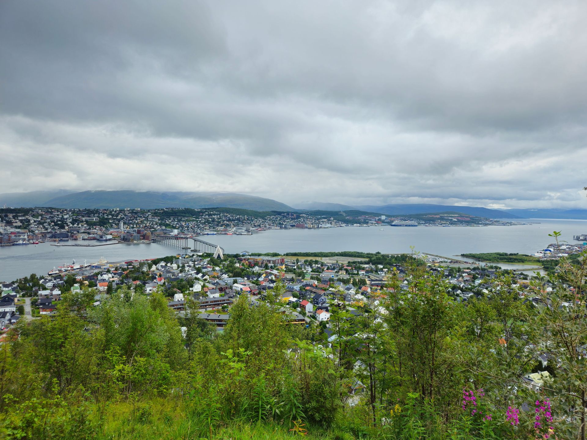
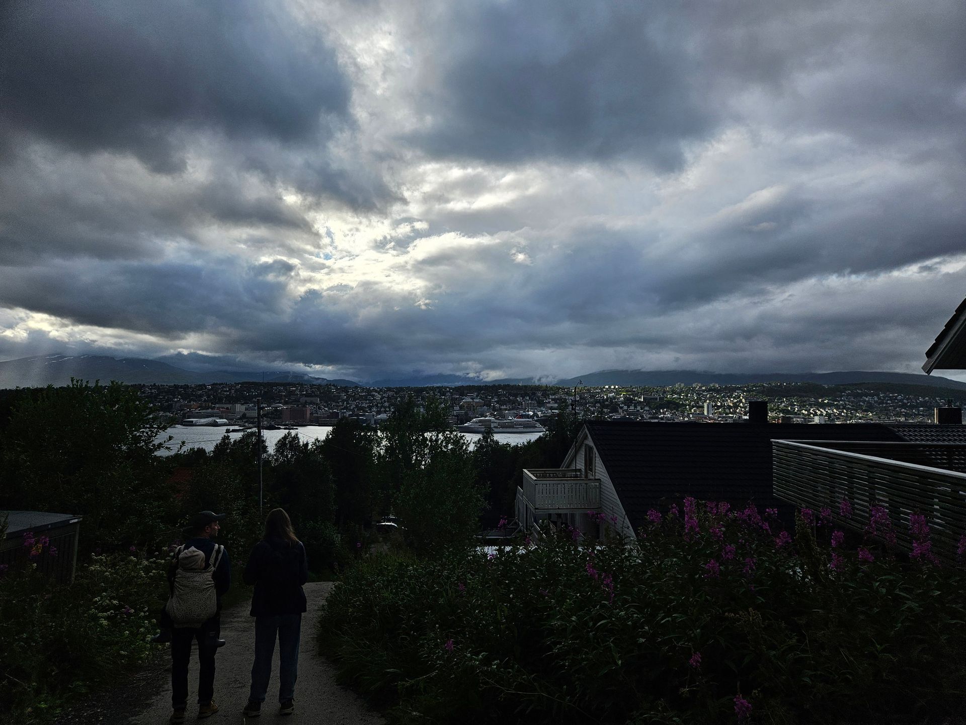
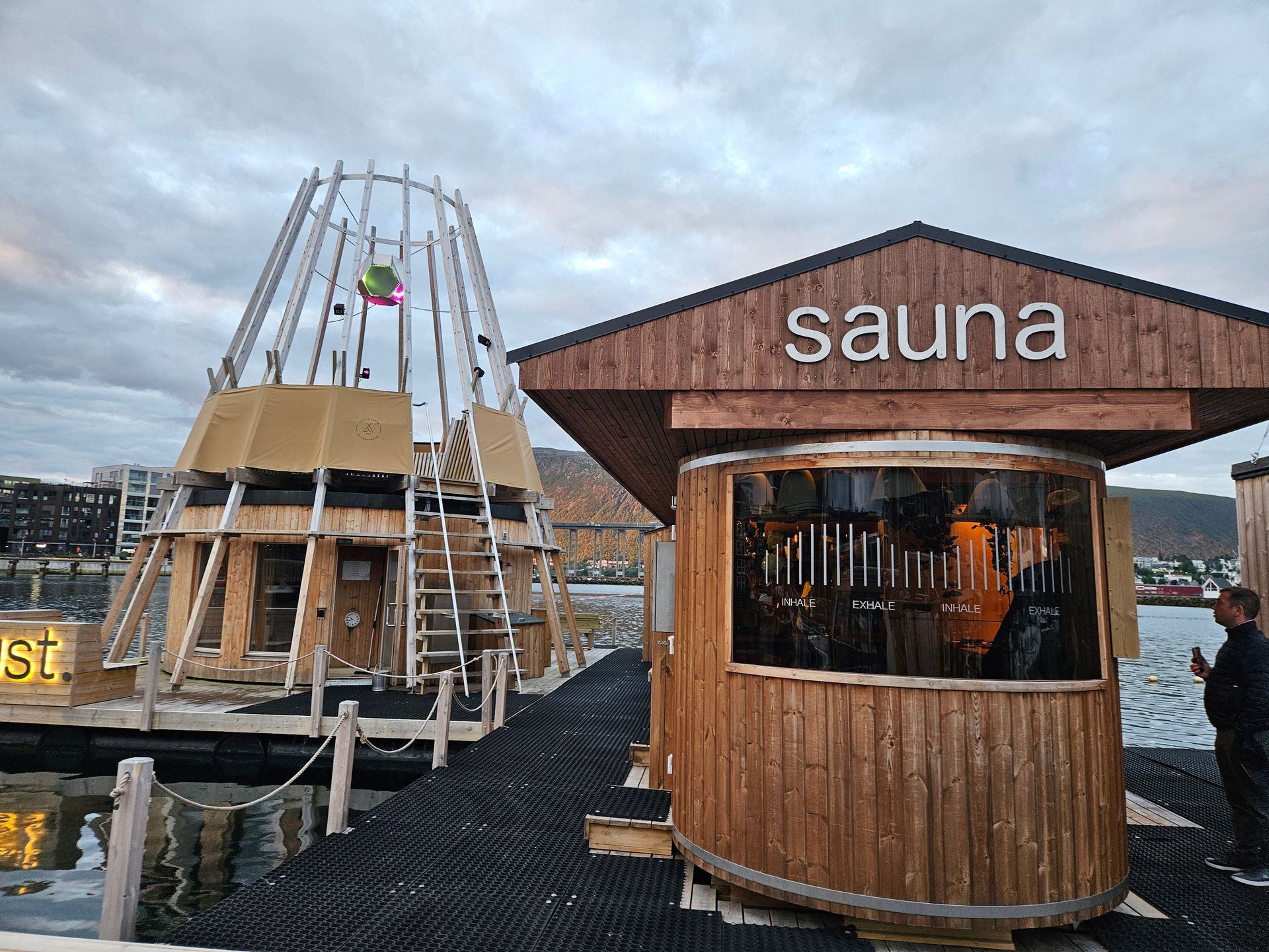
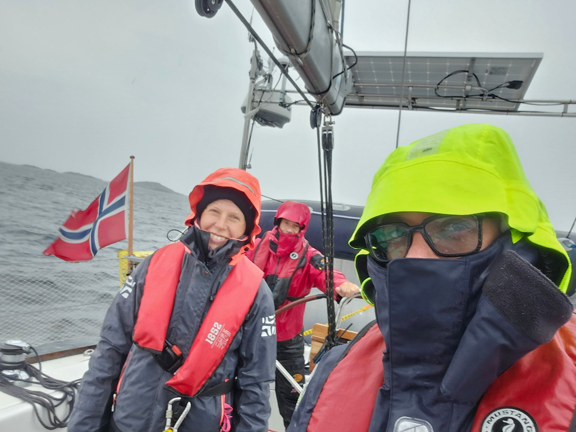
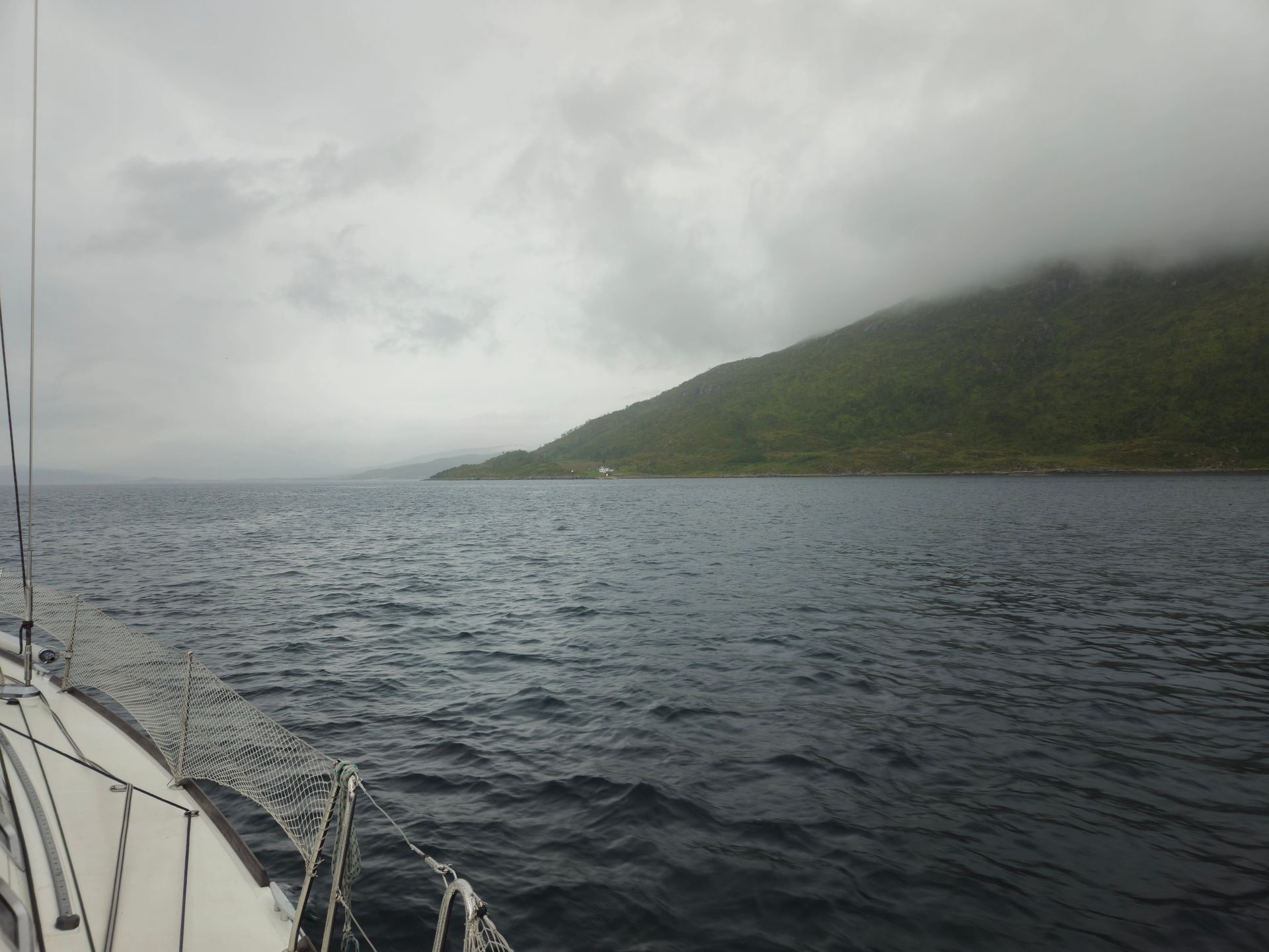
Landfall in the rain: a bridge, a concrete cathedral lit from inside, and trees for the first time in a fortnight.
- Latitude
- 69°39′N
- Population
- ≈78,000
- Bridge
- 1960, 1,036 m
- Arctic Cathedral
- 1965
- Polar night
- Late Nov – mid Jan
The Gateway to the Arctic
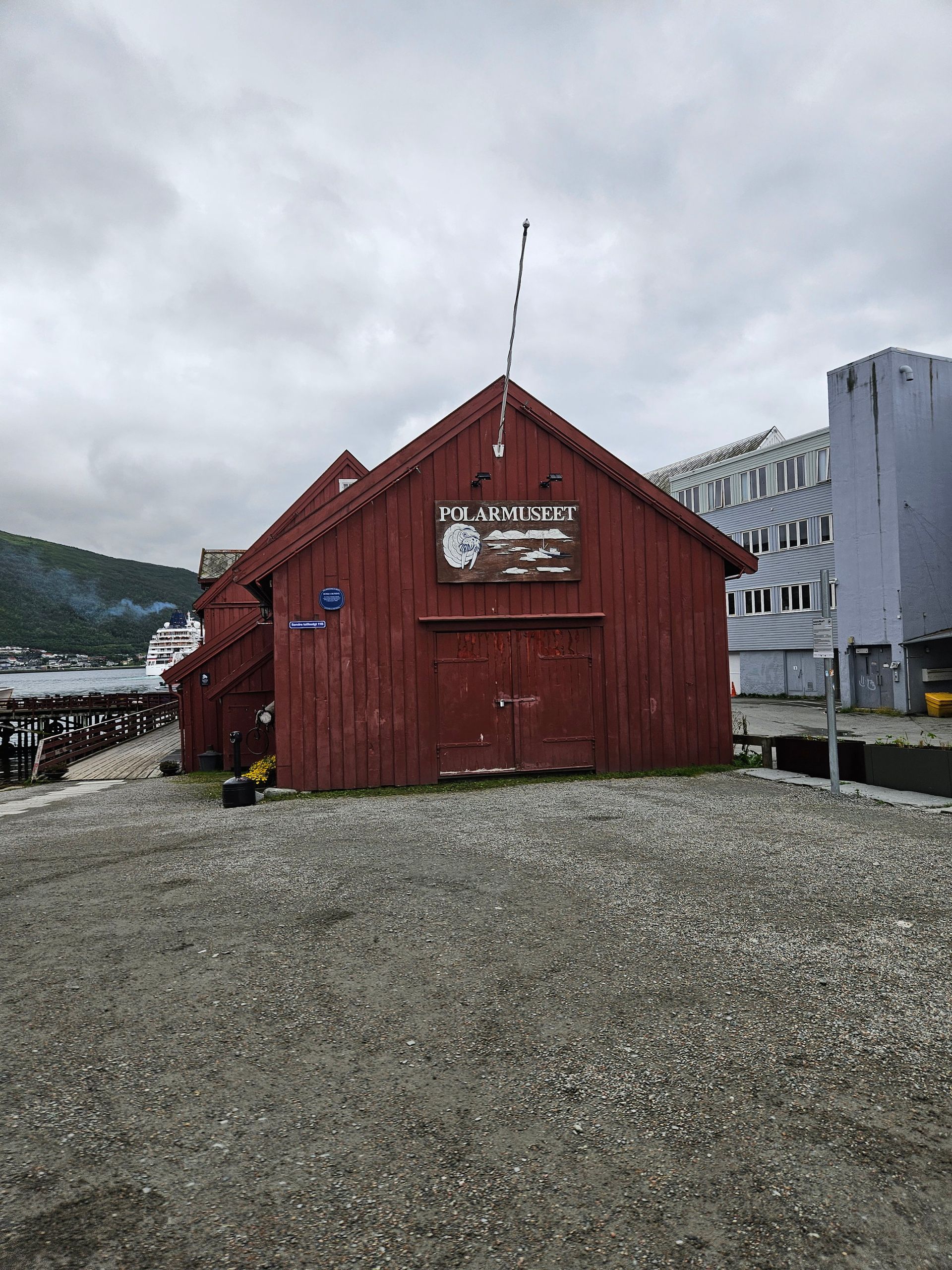
Tromsø outfitted the expeditions — Nansen, Amundsen, Nobile's rescue — and buried a good many of the men who did not come back. It is still the northernmost university town in the world, and the northernmost place with a brewery, a cathedral and a botanical garden.
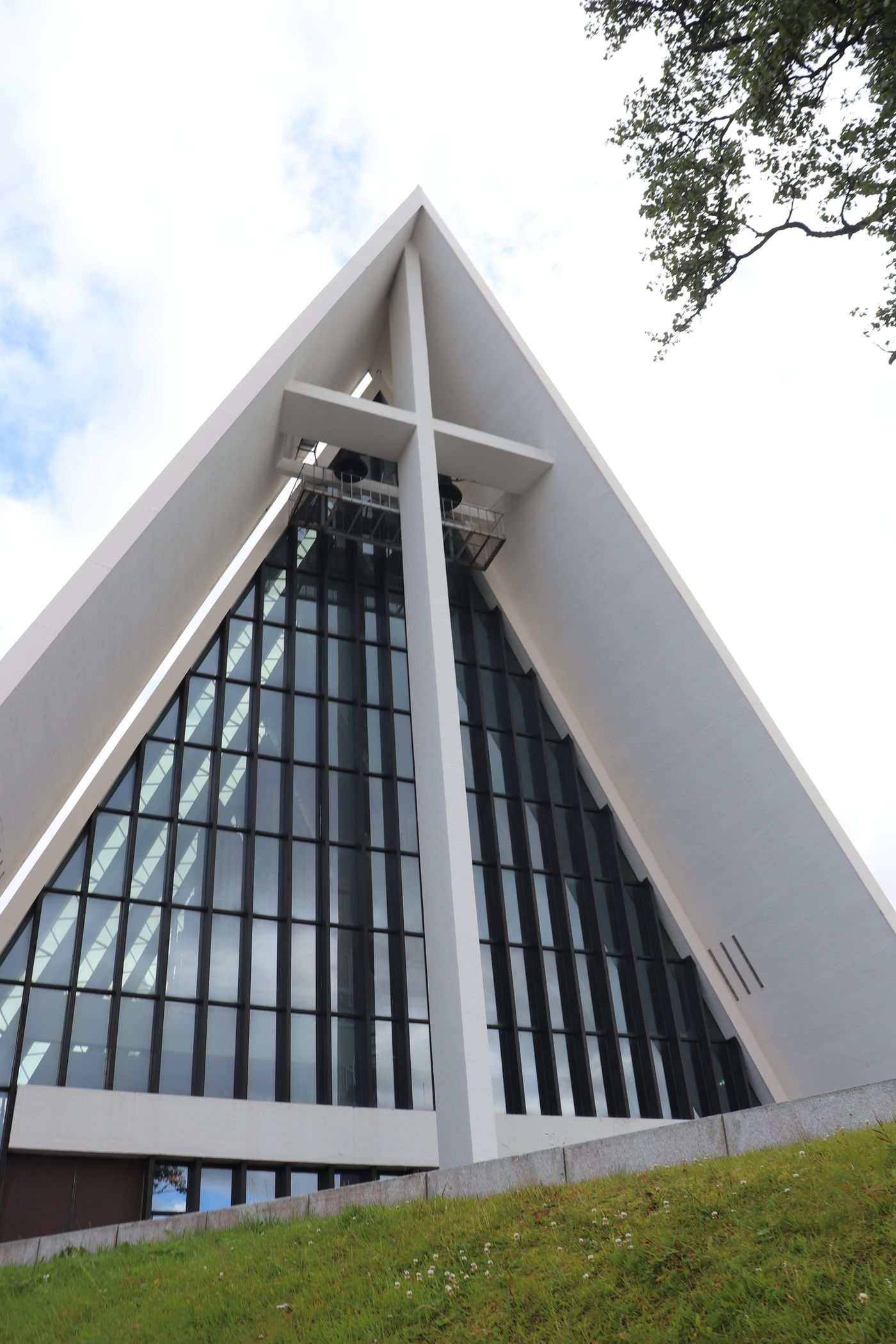
Ishavskatedralen
The Arctic Cathedral, finished in 1965 to Jan Inge Hovig's design, is eleven concrete A-frames set against each other like ice floes shoving up. The east gable is one of Europe's largest stained-glass windows. It is not a cathedral at all, strictly — it is the parish church of Tromsdalen — but nobody calls it that.